Underwater acoustic positioning systems locate and track submerged vehicles, instruments, divers, and infrastructure where GNSS signals are unavailable. Using acoustic travel time, phase, or angle measurements, these systems calculate range and bearing between subsea targets and known reference points.
This page showcases leading manufacturers underwater acoustic positioning systems, including USBL, SBL, and LBL systems for offshore and oceanographic applications.
If you design, build or supply Underwater Acoustic Positioning Systems, create a profile to showcase your capabilities and connect with visitors who have an active requirement for your solutions.
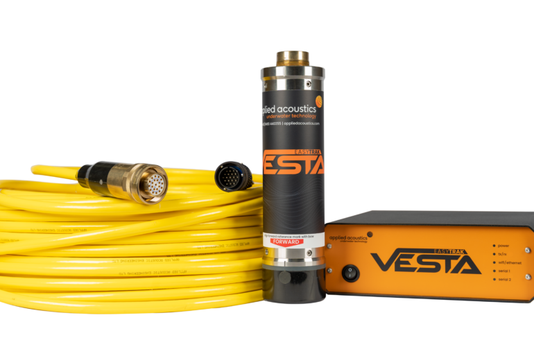
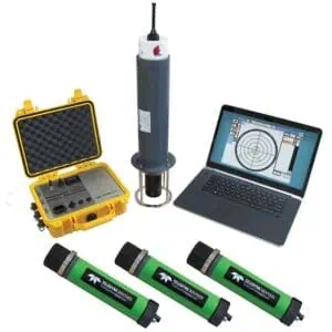
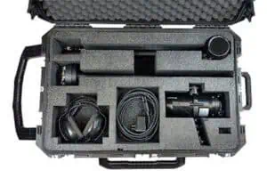
USBL positioning systems with versatile synchronization options
USBL positioning systems with versatile synchronization options
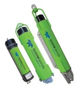
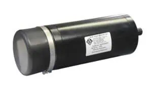
...effective USBL positioning capabilities for UUVs (unmanned underwater vehicles) at depths of down to... ...1; uses duplex acoustic communication with a transceiver on the topside and a transponder on the...
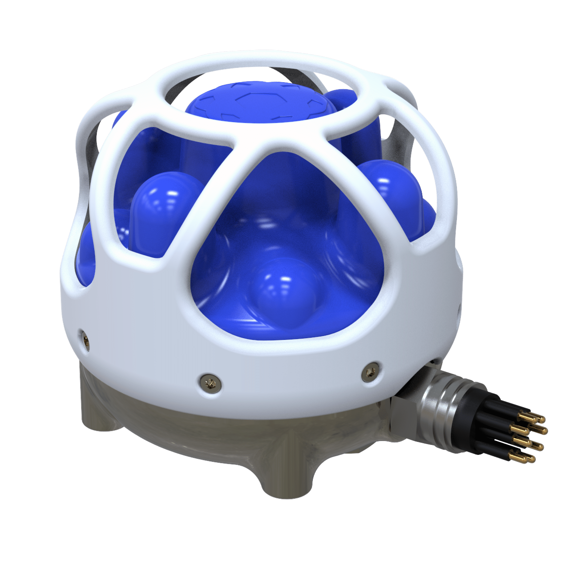
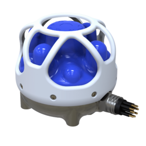
Seabed sensor node for marine mammal detection & target tracking
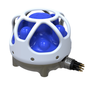
Seabed sensor node for marine mammal detection & target tracking
...utonomously in underwater arrays to provide reliable long-term collection and transmission of ocean... ...sive or active acoustic sensors, echosounders and environmental sensors, as well as long-range...
The Complete Guide to Underwater Acoustic Positioning Systems
Overview by
William Mackenzie
Updated:
Introduction to Underwater Acoustic Positioning
Underwater acoustic positioning systems locate submerged vehicles, instruments, structures, divers, and other assets where Global Navigation Satellite System (GNSS) signals cannot reach. Acoustic travel time, signal phase, or angle measurements determine range, bearing, or both between known reference points and an underwater target. Surface GNSS, vessel attitude, depth, timing, and sound-speed data are then combined to calculate a local or georeferenced subsea position.
An underwater acoustic positioning system may provide an independent fix or correct drift within a broader navigation solution. Performance depends on geometry, range, alignment, platform motion, timing, signal quality, multipath, obstruction, and sound-speed variation. Selection should reflect accuracy, depth, update rate, mission duration, environmental conditions, and available infrastructure.
Main Types of Underwater Acoustic Positioning Systems
Acoustic positioning systems are generally classified by the spacing and arrangement of their transducers, transponders, responders, or seabed reference points.
Ultra-Short Baseline Systems (USBL)
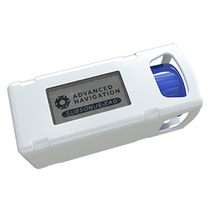
Subsonus USBL Underwater Acoustic Positioning System by Advanced Navigation.
Ultra-short baseline acoustic positioning systems use a compact vessel-mounted array to determine the range and direction of a subsea transponder or responder. Range is derived from acoustic travel time, while direction is calculated from phase or time differences across the array. Measurements are combined with surface position, heading, and attitude. Calibration, pole stability, lever-arm offsets, vessel motion, and acoustic conditions affect performance.
Short Baseline Systems (SBL)
A short baseline acoustic positioning system uses several transducers installed across a vessel, structure, or platform. Their separation allows target position to be calculated from measured ranges or timing differences. Accuracy depends on surveyed transducer locations, baseline length, geometry, synchronization, and motion compensation.
Long Baseline Systems (LBL)
A long baseline acoustic positioning system uses multiple transponders at surveyed seabed positions. A vehicle or instrument measures ranges to these references to calculate its position within or near the array. LBL provides stable, repeatable positioning with less dependence on surface-vessel location, but requires deployment, calibration, battery management, and recovery.
Sparse and Reduced-Infrastructure LBL Systems
Sparse LBL configurations reduce the number of fixed seabed references by combining acoustic ranges with inertial, velocity, depth, or vehicle-motion data. This can reduce mobilization time and seabed equipment. Lower geometric redundancy increases reliance on vehicle trajectories, synchronization, sensor fusion, outlier rejection, and uncertainty monitoring.
Applications of Underwater Acoustic Positioning Systems
Underwater acoustic systems support scientific research, subsea engineering, survey operations, diver tracking, and vessel control whenever the position of a submerged asset must be established.
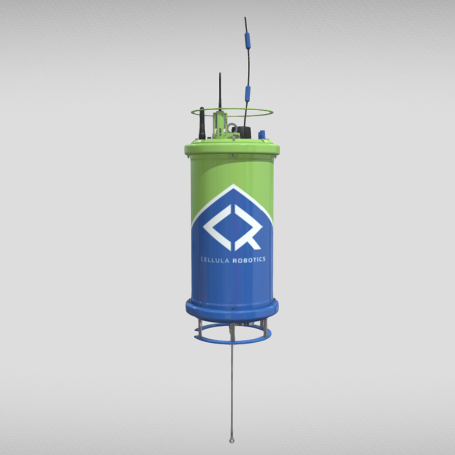
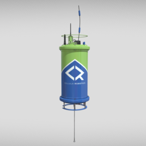
Acoustic positioning system, Subsea Sentinel Sensor Node, from Cellula Robotics.
Hydrographic Surveying and Instrument Deployment
Hydrographic teams use acoustic positioning to track towfish, Remotely Operated Vehicles (ROVs), sampling platforms, and seabed instruments. Position data links measurements to coordinates, records deployment locations, and supports equipment relocation or recovery.
Water-Column and Ecosystem Research
Water-column research may require tracking profilers, cameras, nets, samplers, and Autonomous Underwater Vehicles (AUVs). Acoustic positioning reconstructs sampling paths and repeated transects. Update rate, range, power, accuracy, and uncertainty should match the platform and objectives.
Marine Archaeology and Environmental Monitoring
Marine archaeology projects use acoustic positioning to georeference vehicles, imaging systems, divers, tools, and recovered objects. Environmental monitoring uses similar methods when revisiting habitats, sediment stations, contamination sites, or long-term sensors. Repeatable positioning helps separate environmental change from survey or placement differences.
Subsea Construction and Offshore Energy Infrastructure Surveys
Subsea construction teams use acoustic positioning to guide vehicles, tooling, and sensors around cables, pipelines, foundations, wells, and other assets. Position data supports placement, inspection, metrology, touchdown monitoring, and as-built surveys. High-precision work may combine acoustic, inertial, Doppler velocity, depth, sonar, and optical data.
Dynamic Positioning Reference Support
An acoustic system can provide a relative reference between a surface vessel and a fixed or mobile subsea transponder. This may support Dynamic Positioning (DP) near subsea assets. Operators should consider continuity, latency, geometry, redundancy, interference, alarm limits, and undetected bias.
Core System Components
A complete underwater acoustic positioning system may include the following components:
Acoustic receivers and transceivers: Transmit, receive, identify, time, and process acoustic signals.
Acoustic pingers, transponders, and responders: Return coded replies or transmit when externally triggered.
Hydrophone and projector arrays: Receive sound, transmit sound, or perform both functions.
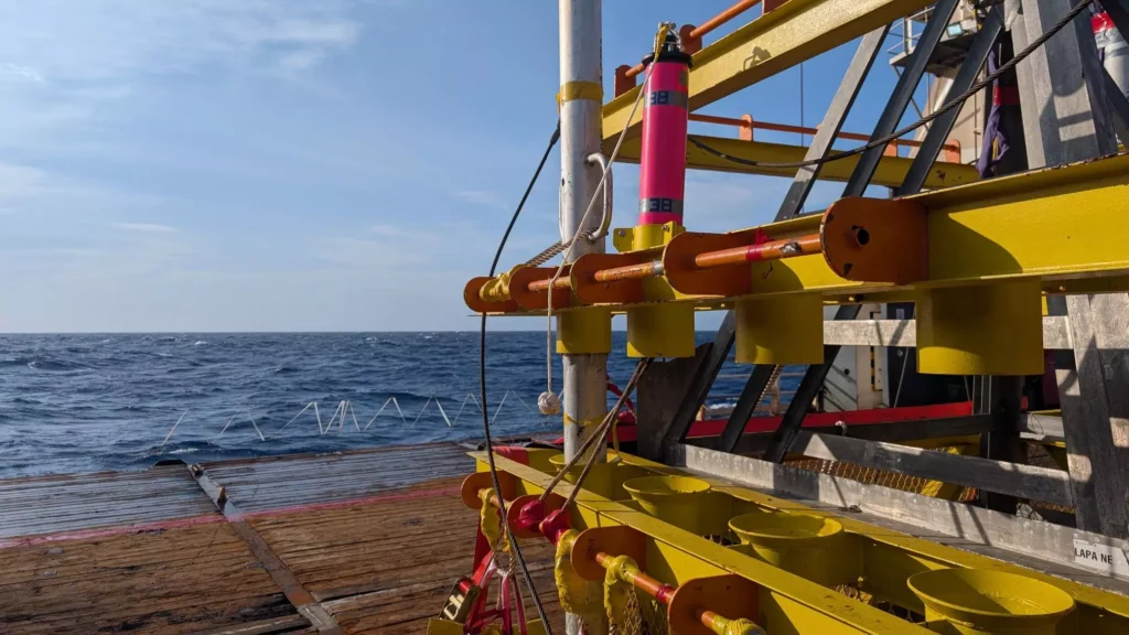
Vessel-mounted transducer poles and deployment machines: Place the acoustic head below bubbles, turbulence, and vessel noise.
GNSS receivers and surface position references: Establish the position of the vessel or surface node.
Motion Reference Units (MRUs) and attitude sensors: Measure roll, pitch, heave, and heading.
Final accuracy also depends on transducer offsets, angular alignment, turnaround delays, coordinate frames, clock synchronization, and processing quality.
Integration with Subsea Navigation Systems
Acoustic positioning is often integrated with other navigation sensors to improve continuity, stability, and accuracy between acoustic updates:
Pressure-based depth sensors and altimeters: Measure depth and seabed clearance.
Simultaneous Localization and Mapping (SLAM): Estimate movement from recurring sonar or optical features.
These inputs may be combined through loosely or tightly coupled sensor fusion. Robust systems monitor residuals, reject invalid measurements, estimate uncertainty, and define behavior when updates are lost.
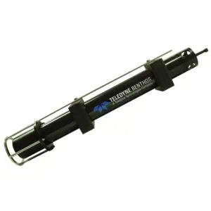
Underwater acoustic positioning system, USBL DAT, from Teledyne Marine.
Integration with Marine Vehicles & Platforms
The configuration of an acoustic positioning system must reflect vehicle size, power, operating depth, motion, acoustic field of view, and communications architecture.
Remotely Operated Vehicles (ROVs)
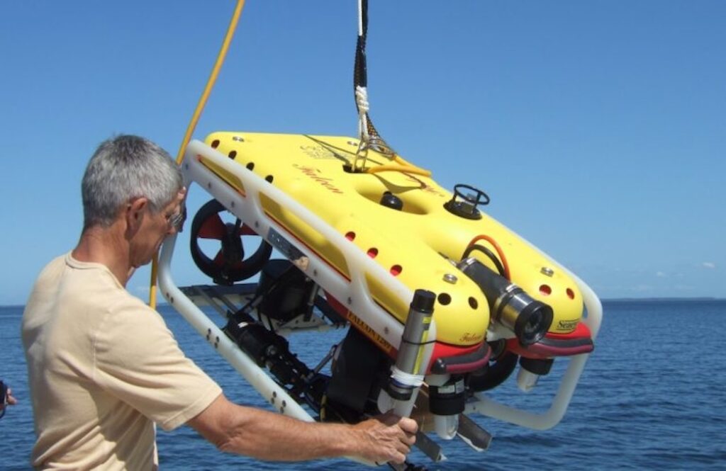
Remotely Operated Vehicles (ROVs) commonly carry a transponder or responder for inspection, sampling, intervention, and construction. Acoustic data may update the vehicle’s Inertial Navigation System (INS). Integration should account for tether forces, shading, thruster noise, attitude, sensor offsets, and coordinate frames.
Autonomous Underwater Vehicles (AUVs)
Autonomous Underwater Vehicles (AUVs) use acoustic updates to correct drift without surfacing for GNSS. They may navigate relative to seabed beacons, a support vessel, or an unmanned surface platform. Update rate must be balanced against power, channel access, range, speed, and INS performance.
Unmanned Surface Vessels (USVs)
Unmanned Surface Vessels (USVs) can carry GNSS, attitude sensors, and acoustic transceivers to track submerged assets. Repositioning can improve geometry, follow an AUV, or extend coverage. Cooperative operations require synchronization, reliable communications, collision avoidance, and shared coordinate frames.
Towed Vehicles and Towfish
Towed vehicles move independently of the vessel because of cable shape, current, depth, and maneuvers. Direct acoustic positioning is more reliable than cable-length estimates alone. Combining vessel navigation, tow measurements, depth, layback, and acoustic fixes strengthens the position record.
Emerging Developments in Underwater Acoustic Positioning
Current development is focused on reducing fixed infrastructure, improving navigation continuity, and obtaining more information from each acoustic transmission:
Distributed and mobile acoustic networks: Use moving surface or underwater platforms as temporary references.
Adaptive waveforms and environmental compensation: Adjust signaling and processing to changing noise, Doppler, and propagation conditions.
Integrated positioning and acoustic communications: Share channel resources for ranging, data transfer, commands, and status updates.
These developments are expanding system capability while increasing the importance of synchronization, calibration, cybersecurity, uncertainty estimation, and efficient acoustic channel management.
applied acoustics presents its range of subsea and marine survey, navigation and positioning technologies for hydrographic and geophysical applications supporting offshore energy development
Exail delivers hybrid long baseline positioning systems combining acoustic and inertial navigation to support subsea construction, infrastructure installation, and survey operations at depths up to 4,000 meters
GeoSpectrum Technologies outlines how Very Low-Frequency (VLF) acoustic systems, including C-Bass, support long-range undersea monitoring, communication, and scientific research in Arctic environments
applied acoustics Ben Darling looks at the Easytrak Nexus 2 Max, reflecting a focused redesign aimed at improving positioning accuracy and operational efficiency for modern marine survey vessels
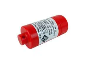
RJE International is presenting its underwater acoustic tracking and recovery solutions for mission-critical subsea assets on OST, supporting defense, commercial, and scientific applications
Integrated INS + USBL systems deliver faster setup, higher accuracy and improved efficiency for subsea tracking, offering clear advantages over traditional USBL-only configurations
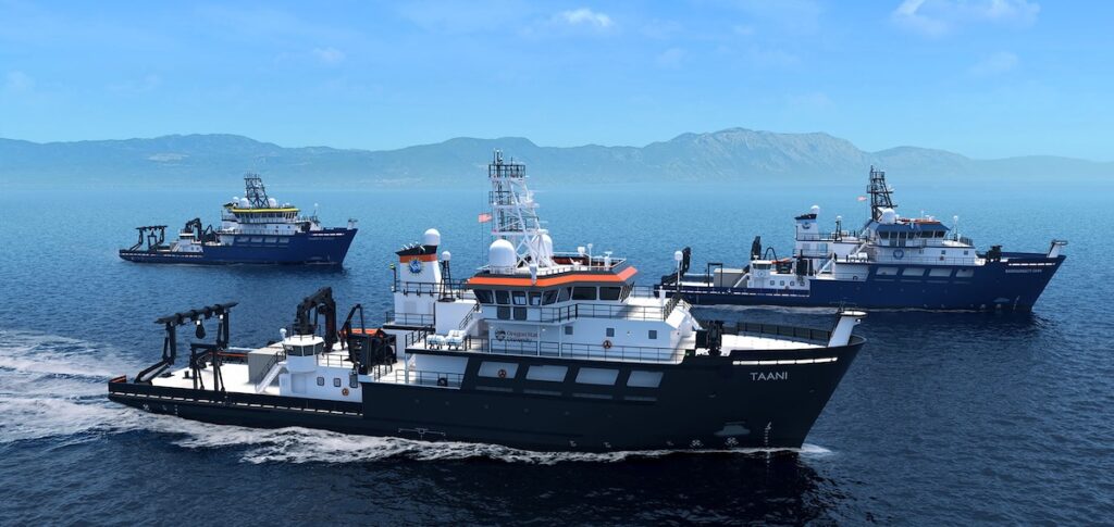
Sonardyne’s advanced Ranger 2 Gyro USBL 7000 underwater positioning system has been chosen to equip three new U.S. National Science Foundation Regional Class Research Vessels, supporting the next generation of diverse oceanographic and marine science missions
applied acoustics discusses the use of acoustic positioning beacons in subsea operations, including ROV and AUV tracking, outlining types, applications, installation, and maintenance for reliable underwater positioning