Showcase your capabilities
If you design, build or supply Navigation Software, create a profile to showcase your capabilities and connect with visitors who have an active requirement for your solutions.

Marine navigation software aids ships, from cargo vessels to autonomous platforms, to navigate safely and efficiently. These systems synthesize radar feeds, nautical charts, collision avoidance tools, and autopilot cues into a unified display. Advanced radar signal processing ensures enhanced situational awareness, enabling rapid route planning and real‑time vessel tracking.
Read the Technology Overview
AI-Driven Radar Processing for Object Classification, Tracking & Marine Autonomy
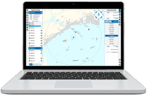
AI-Powered Maritime Autonomy & Remote Control Solutions for Government & Commercial Vessels
If you design, build or supply Navigation Software, create a profile to showcase your capabilities and connect with visitors who have an active requirement for your solutions.

Modern marine navigation systems unify multiple technologies, radar signal processing, charting, vessel tracking, and collision avoidance, with many platforms now incorporating maritime AI software for enhanced situational awareness and autonomous decision support. Whether retrofitting an existing bridge or designing a new autonomous vessel, selecting robust navigation software is key to safe and cost‑effective voyages.
Marine navigation software is designed to combine sensor inputs (radar, AIS, GPS) with electronic charts and automation modules to present mariners with a clear, synchronized navigational picture. Core functions include:

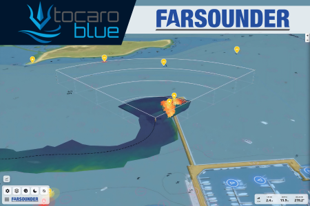
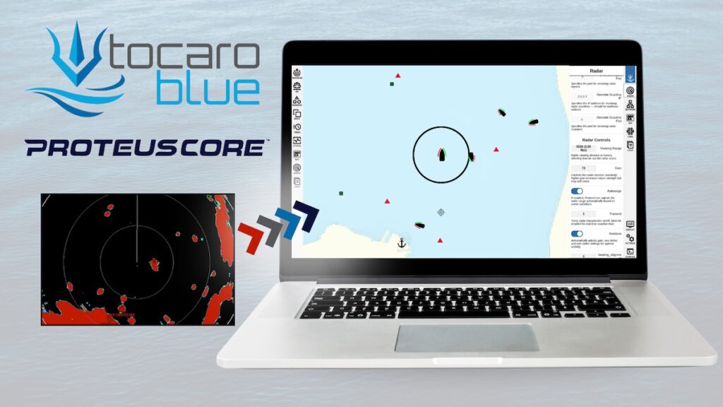
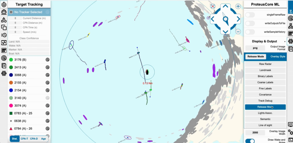
ProteusCore™ by Tocaro Blue.
Radar processing and overlay: Transform raw radar echoes into processed visual layers, enabling mariners to distinguish landmasses, moving targets, and weather returns. Radar signal processing ensures high-resolution mapping and radar overlay on nautical charts, crucial in dense traffic or poor visibility.
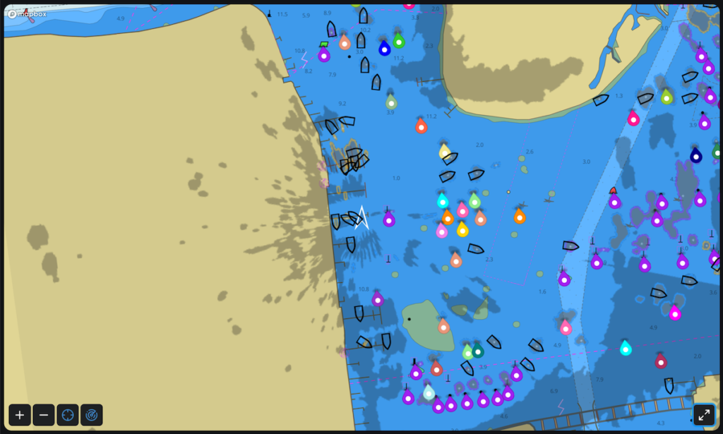
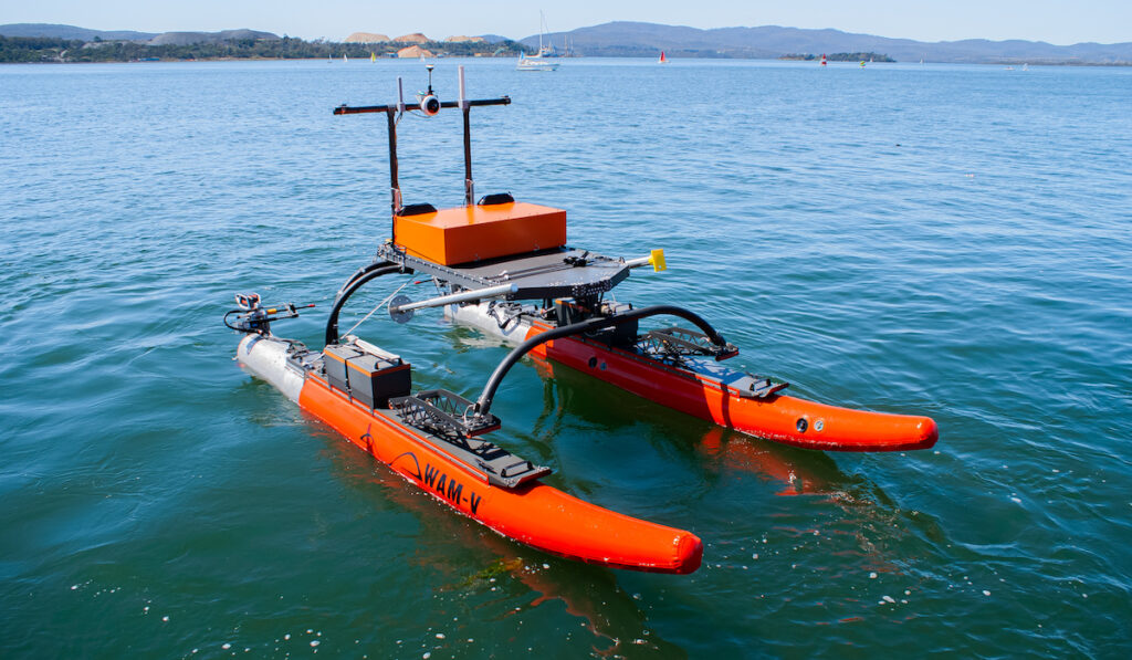
Marine navigation software is used across many platforms, from full-scale systems on commercial ship bridges to compact navigation apps for yachts and unmanned surface vehicles (USVs). Depending on the use case, solutions can focus on highly reliable radar data interpretation, route planning software, or user-friendly marine navigation display interfaces. Some vendors also bundle radar sensor processing systems and autopilot-ready modules, offering vessels end-to-end navigational autonomy.
Key applications of marine navigation software include:
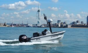
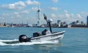
Voyager AI Remote by Robosys Automation.
Commercial shipping: Enhances safety, compliance, and fuel efficiency by integrating radar overlays, AIS data, and automated route planning into a single platform.
System upgrades in these areas often involve adding or enhancing radar processing software, integrating advanced collision avoidance overlays, and deploying real-time vessel tracking modules. These enhancements are usually brought together within a unified human–machine interface (HMI), allowing for streamlined control and comprehensive operational oversight.
Countries enforcing SOLAS and COLREGs require radar and ARPA capabilities, and navigation platforms must undergo rigorous testing. Many systems adhere to MIL‑STD‑810 for marine sensor ruggedness and electronic compatibility, relevant for defense, research vessels, and autonomous sensors in ladders, buoys, or UUVs.
In today’s maritime landscape, the trend is toward ecosystemized navigation: secure data sharing among shipboard systems and ashore, cloud‑based chart updates, AI‑driven collision prediction, and autonomous waypoint management. Emerging capabilities in radar data processing and radar mapping support leave minimal manual oversight. Operators that choose open‑standard, scalable solutions gain flexibility to incorporate advanced features, such as terrain contour awareness, dynamic sea‑state radar overlays, and third‑party autopilot APIs.
Ongoing innovation in marine navigation software ensures vessels remain compliant, safe, and tech‑savvy. From radar mapping and embedded radar overlay tools to autopilot integration and precise vessel tracking software, these platforms continually evolve. Choosing the right software means balancing sensor fidelity, regulatory compliance, and scalability, whether upgrading legacy radar systems or deploying smart navigation for unmanned maritime applications.
 Searching Companies & Products
 Subscribe to the Weekly eBrief
The latest engineering and technical developments straight to your inbox - join thousands of engineers who receive it.
Subscribe to the Weekly eBrief
The latest engineering and technical developments straight to your inbox - join thousands of engineers who receive it.