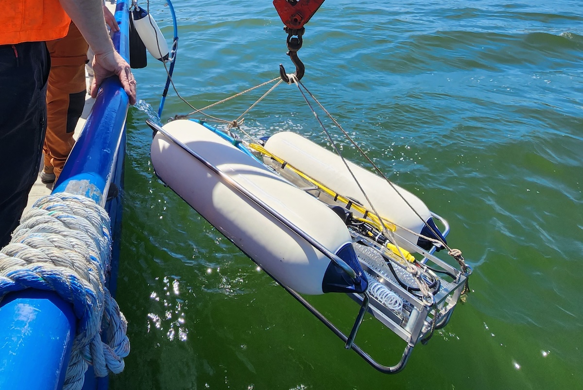
Underwater tracking is fundamental to safe, efficient subsea operations, and applied acoustics has long supported the industry with technologies that enable accurate positioning of divers, vehicles and sensors.
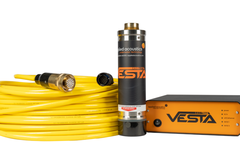
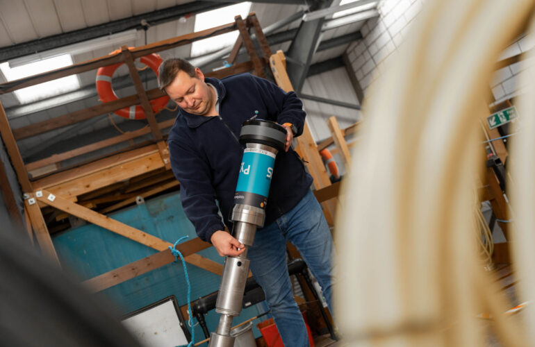
Traditional Ultra Short Baseline (USBL) systems remain a proven solution, using acoustic signals and precise Direction of Arrival measurements to determine a target’s position relative to the transceiver. When combined with motion reference data and GNSS inputs, USBL delivers reliable real-world positioning for a wide range of offshore tasks.
Inertial Navigation Systems (INS) enhance this capability by using accelerometers, gyroscopes and integrated GNSS inputs to determine attitude, orientation and velocity. Through continuous sensor fusion, an INS maintains accurate navigation even during GNSS outages, with subsea aiding from USBL or DVL ensuring consistent performance.
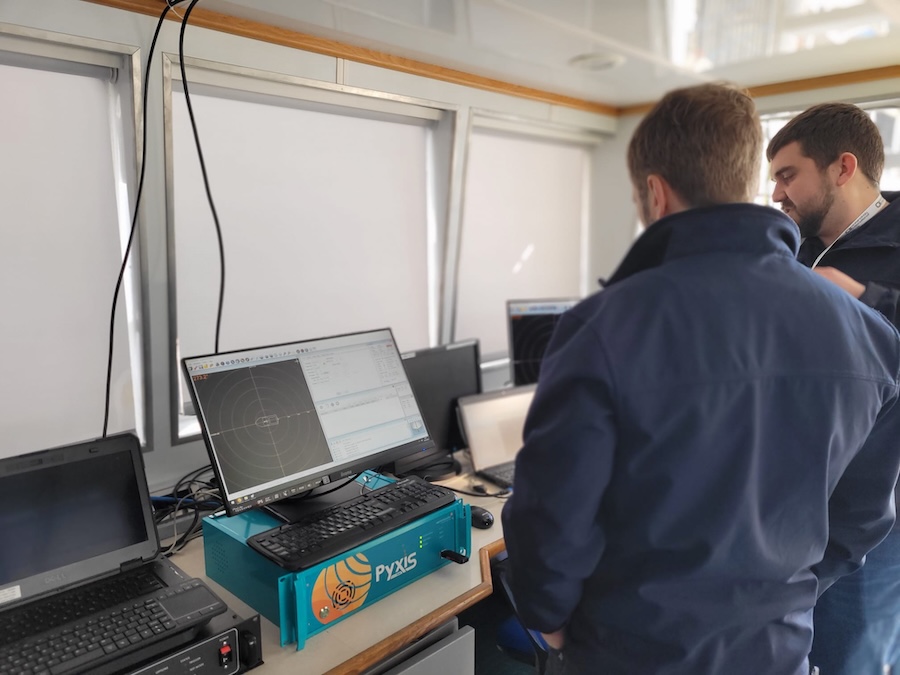
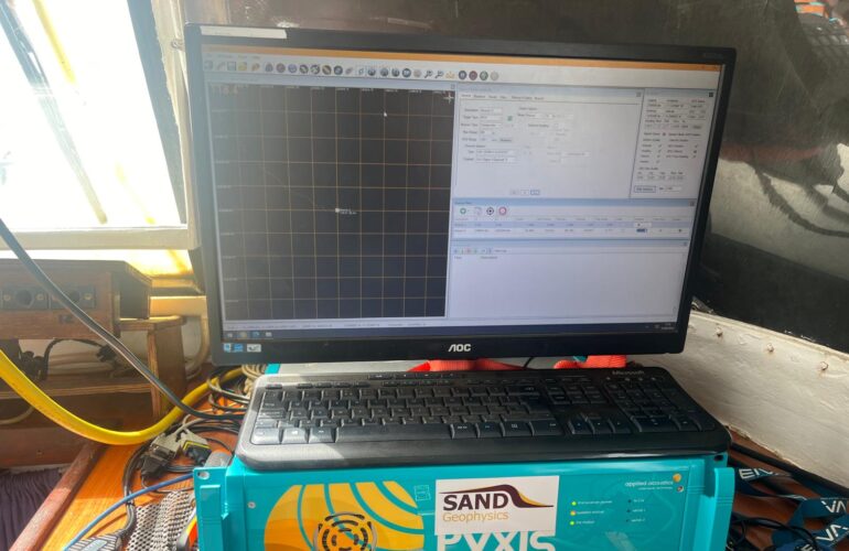
When closely coupled, INS + USBL solutions offer a significant step forward. For vessel-of-opportunity and short-term deployments, an integrated system reduces calibration ambiguity, speeds up mobilization and improves data quality. It delivers repeatable results, minimizes handling and provides a single, versatile survey solution.
SAND Geophysics’ adoption of the Pyxis INS + USBL system underscores these advantages. The team achieved two- to three-fold reductions in calibration time, improved safety and enhanced operational efficiency, enabling higher-quality, cost-effective results for clients worldwide.