Showcase your capabilities
If you design, build or supply LiDAR Systems, create a profile to showcase your capabilities and connect with visitors who have an active requirement for your solutions.


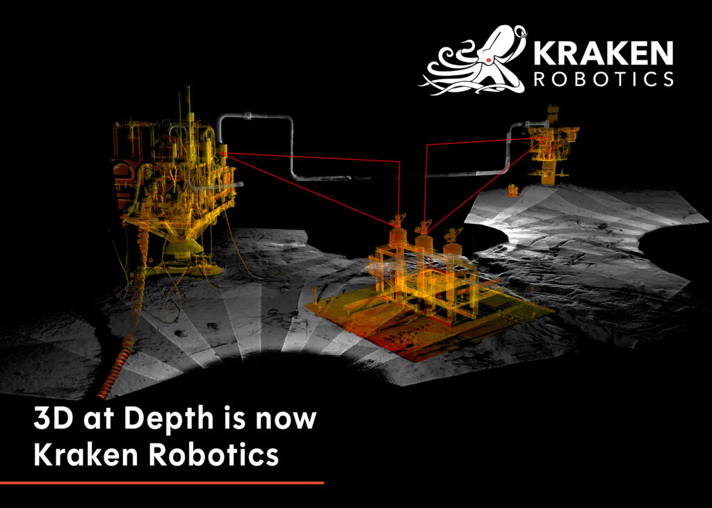
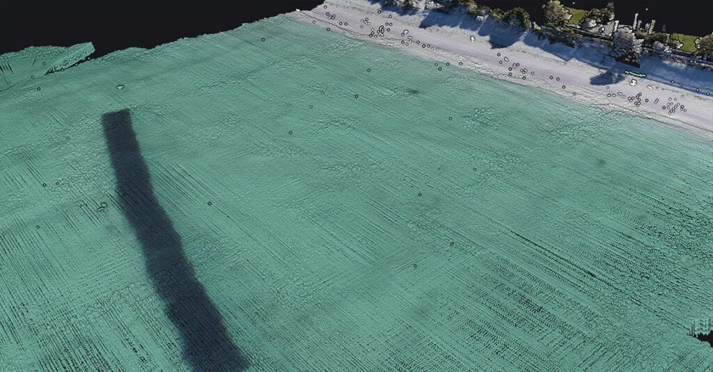
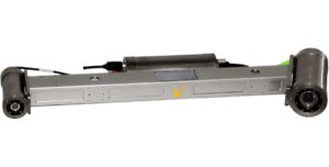
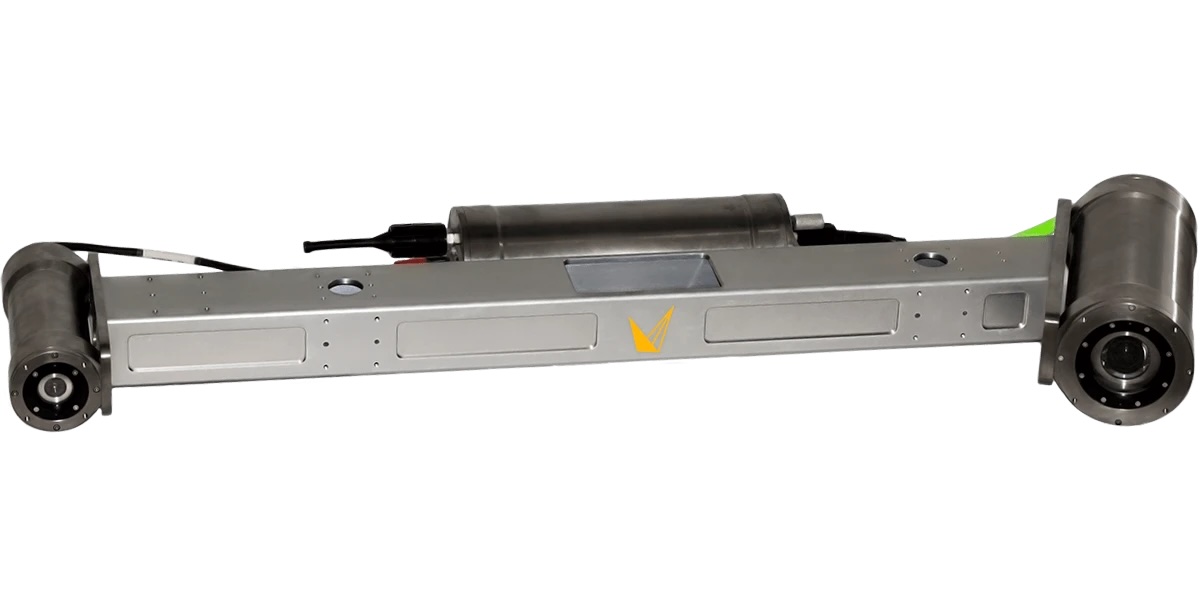
LiDAR systems provide detailed spatial measurement for coastal, offshore, and subsea operations, delivering precise elevation and structural data in complex marine settings. These systems support tasks that range from close range subsea scanning to deepwater 3D mapping and combined above and below water topography collection.
This category includes suppliers of LiDAR sensors and underwater laser scanners suited for short, medium, and long range subsea imaging as well as bathymetric LiDAR solutions for comprehensive marine survey requirements.
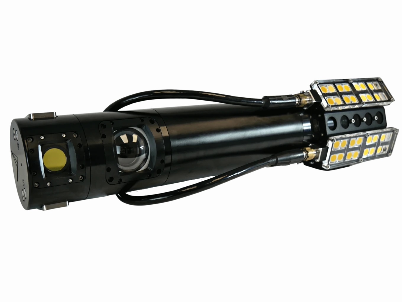


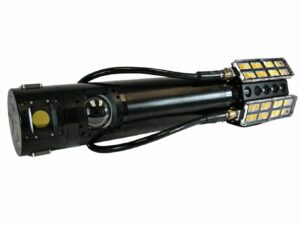
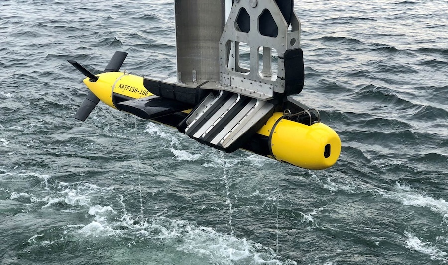
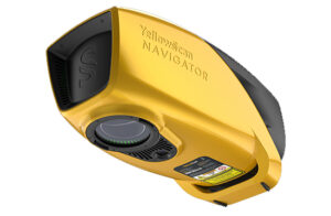
Industry-Leading Underwater Imaging and Power Solutions for Demanding Professional Survey Applications
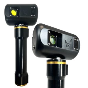
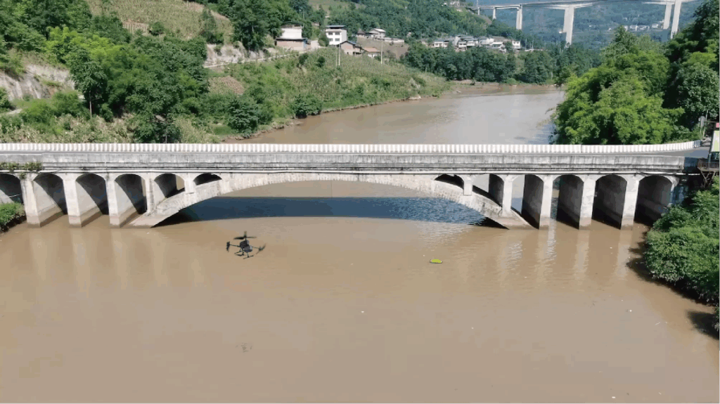
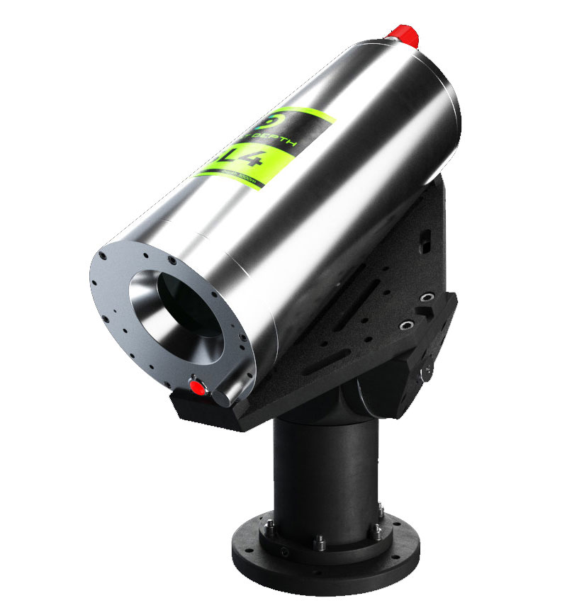
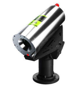
Innovative Bathymetric LiDAR Scanning Solution for Professional 3D Mapping & Surveying Applications
If you design, build or supply LiDAR Systems, create a profile to showcase your capabilities and connect with visitors who have an active requirement for your solutions.
 Searching Companies & Products

 Subscribe to the Weekly eBrief
The latest engineering and technical developments straight to your inbox - join thousands of engineers who receive it.
Subscribe to the Weekly eBrief
The latest engineering and technical developments straight to your inbox - join thousands of engineers who receive it.