
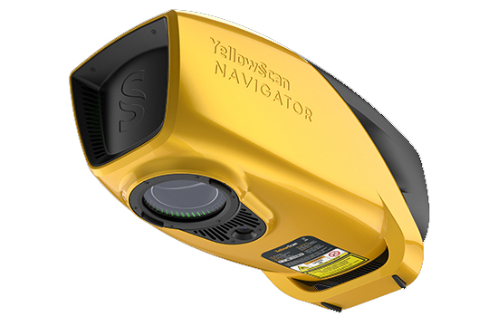
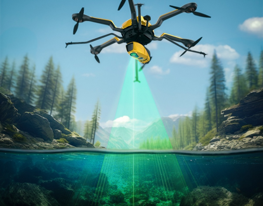
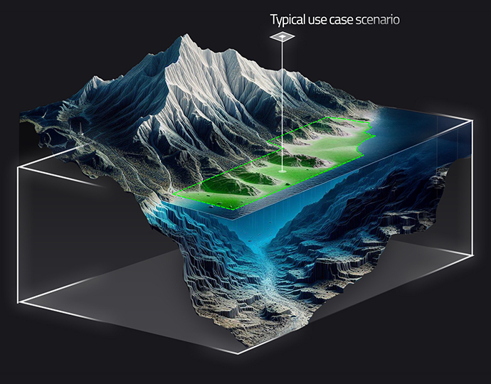
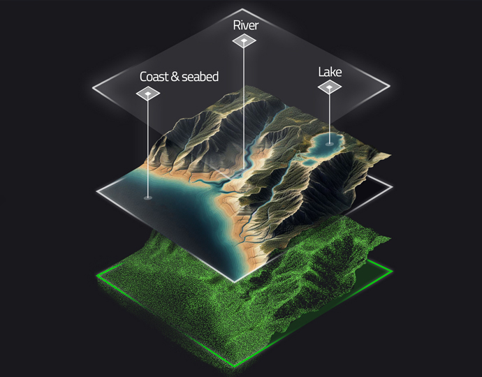
YellowScan Navigator is a unique bathymetric LiDAR solution designed to provide versatile shallow-water surveying capabilities at the push of a button. Featuring a proprietary green laser scanner that has been developed and refined in-house by YellowScan, it can penetrate down to 2 Secchi depths and is ideal for continuous characterization of a wide range of water environments and the surrounding terrain.
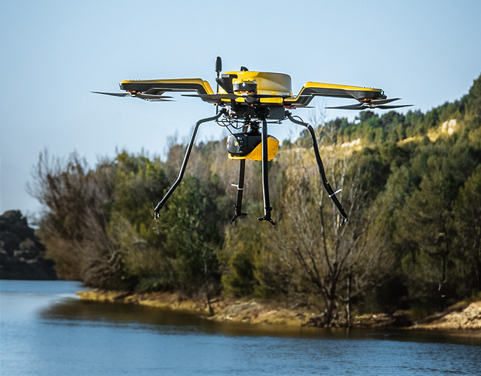
The compact and lightweight system can be easily installed on a variety of multirotor and helicopter UAV platforms as well as manned aircraft, and features a quick-release attachment designed by leading payload developer Gremsy. It also integrates a global shutter RGB camera for full colorization.
YellowScan Navigator is fully calibrated before delivery, allowing you to get started with surveying right away. The system provides 45 minutes of use on one charge, allowing you to maximize efficiency and gather more data in a single flight.
| Dimensions (L x W x H) | 350 x 160 x 190 mm |
| Weight | 3.7 kg (8.2 lbs) battery excl. |
| Power Consumption | 120W |
| Max Water Depth | 2 Secchi |
| Max Altitude | 100m AGL |
| Laser Range | Up to 120m |
| Precision | 3 cm (1.2”) |
| Accuracy | 3 cm (1.2”) |
| Scanner FOV | 44o |
| Shots per Second | Up to 20,000 |
| Scanning Frequency | Up to 50 Hz |

