IQUA Robotics participated in the ESP MINEX-26 naval exercise, deploying advanced Autonomous Underwater Vehicles (AUVs) alongside the University of the Balearic Islands (UIB) and the Spanish Navy (Armada) to demonstrate multimodal mapping technologies.
The advanced mine warfare exercise, organized and led annually by the Spanish Navy, began on April 27 in different scenarios in the Balearic Islands area. More than 500 personnel from Spain, the United States, Greece, Italy, and Turkey were involved in the exercise. All participating units utilized sophisticated underwater detection systems, divers specialized in mine neutralization, and AUVs to complement traditional minehunting capabilities.
The exercise marked the second time IQUA Robotics and its customer, the UIB, have collaborated with the Spanish Navy, providing what the participants described as a highly enriching experience for all three parties.
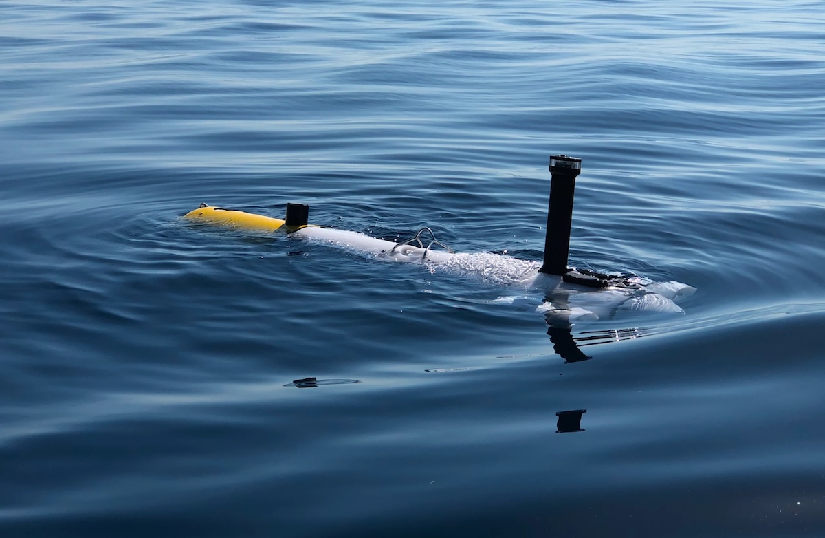
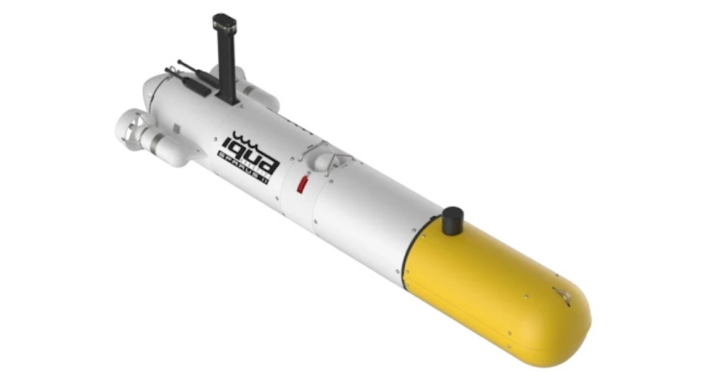
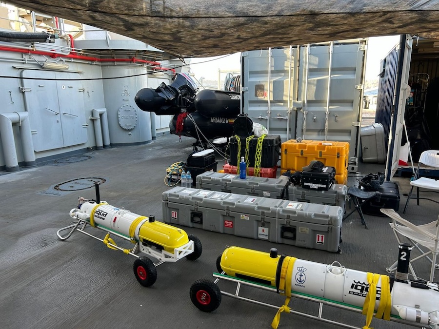
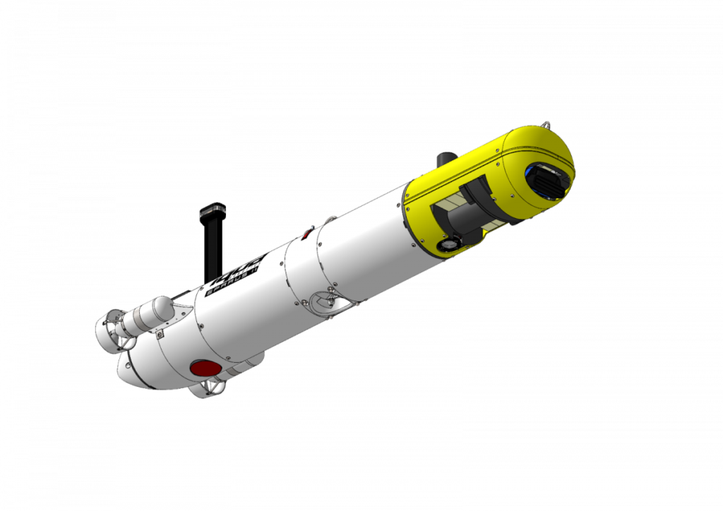
For these defense applications, the team deployed a SPARUS II AUV configured as ORAT, the UIB’s dedicated AUV configuration. The vehicle was equipped with a Norbit multibeam echosounder (MBES), a TKMS Atlas SSS, and a custom stereo vision system designed and developed by IQUA specifically for the university. During experimentation in Palma de Mallorca, the team performed multiple missions across different testing scenarios based on real operational environments.
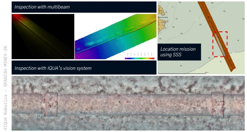
One scenario involved a multimodal pipe inspection at Cala Major bay. The AUV initially located a pipeline using side-scan sonar, and during a subsequent mission within the same deployment, the vehicle was commanded to inspect a specific portion of the pipe from a close distance, allowing it to acquire high-resolution multibeam and optical camera images.
The vehicle’s multimodal capabilities were also utilized for target identification in a mine detection scenario. The AUV was deployed to confirm the presence of potential mines in known positions reported by other systems during the exercise. While side-scan sonar images struggled to reveal the mines due to heavy coverage by Posidonia oceanica (seagrass) meadows, the acquired bathymetric data and optical images successfully revealed the targets.
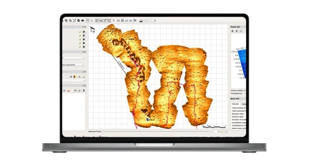
A third exercise was dedicated to the underwater mapping of larger structures. The team utilized side-scan sonar followed by high-resolution bathymetry to map three submerged shipwrecks located at a depth of 25 to 30 meters near the PortoPi harbour, generating comprehensive 3D visualizations.