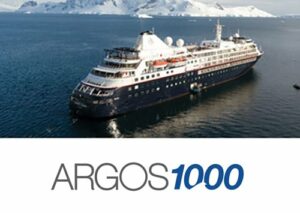
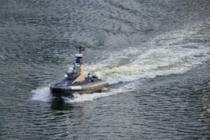
Cutting-edge 3D sonar technology
FarSounder’s advanced true 3D underwater sonar technology combines state-of-the-art acoustics, signal processing and phased array sonar design to create a highly reliable solution that provides the entire image within a single ping, with an extremely fast update rate.
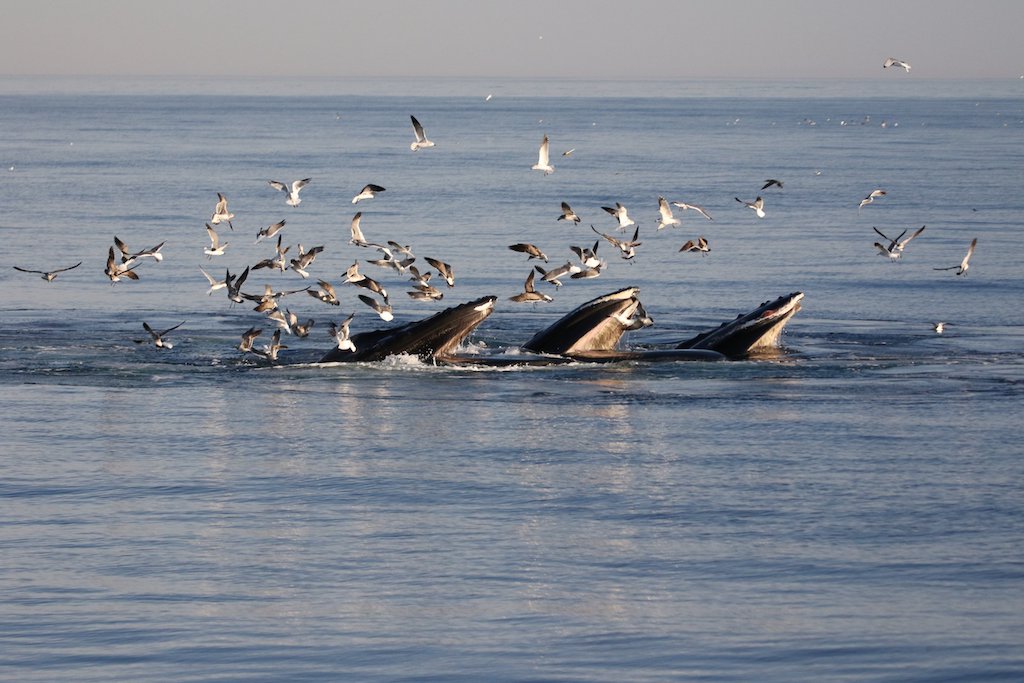
 Our sonars overcome the limitations faced by traditional 2D technologies, which are unable to distinguish between the safe seafloor and dangerous in-water obstacles through depth measurement and thus require visual systems that in turn introduce their own challenges.
These 2D systems are also unable to easily compensate for roll and pitch, and other factors such as multipath interference, surface effects, and vessel motions.
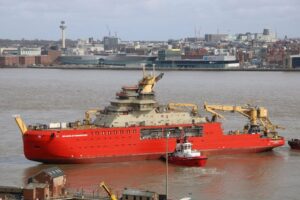
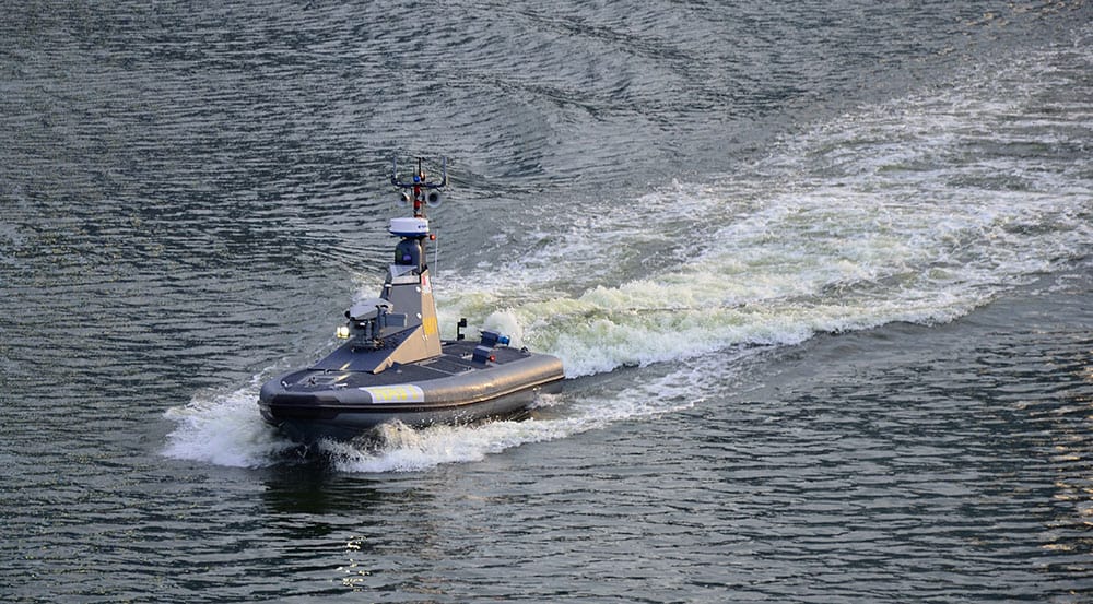
Our products provide an easy-to-install solution that compensates for these issues and reliably detects hazards, obstacles and shallows at navigationally significant ranges.
Convenient data display and export
FarSounder offers multiple options for users to quickly and intuitively interact with the data collected by their Argos 3D forward looking sonars – SonaSoft™ (Windows desktop app), SonaSoft LT™ (browser app), and/or 3rd party integrations via network API.
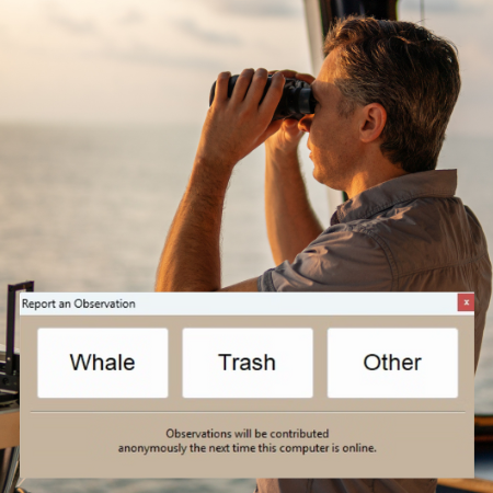
SonaSoft™ LT user interface displaying integrated SEA.AI camera detections:
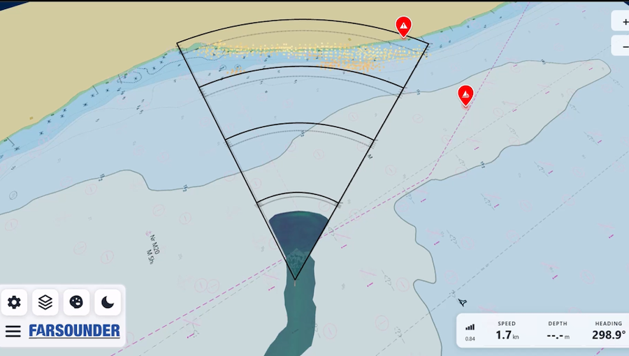
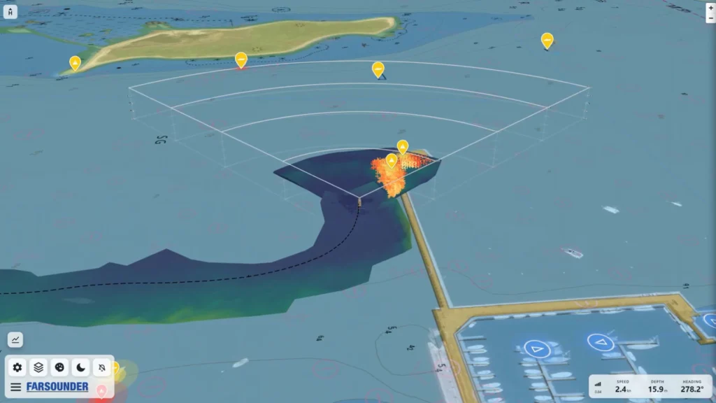
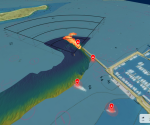
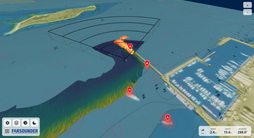
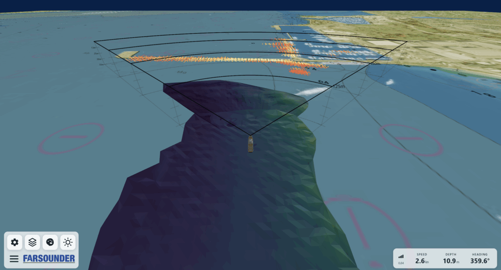
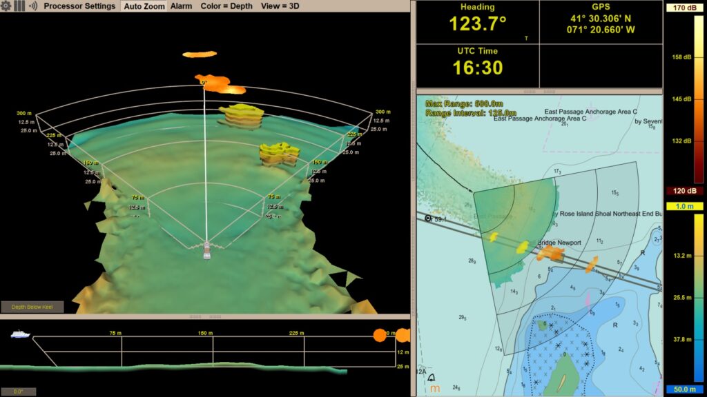
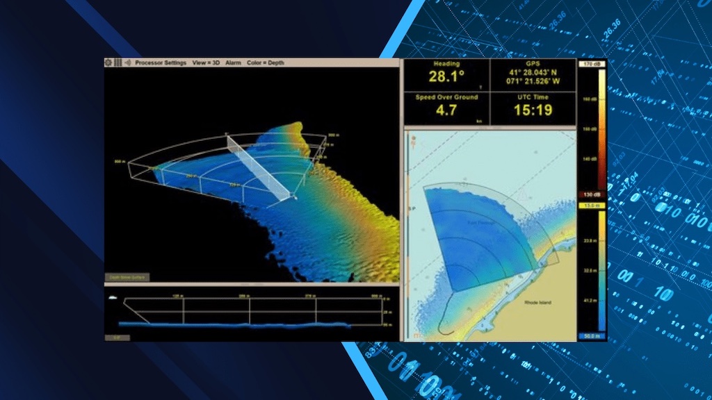
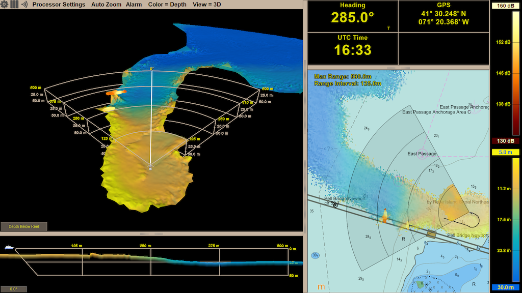
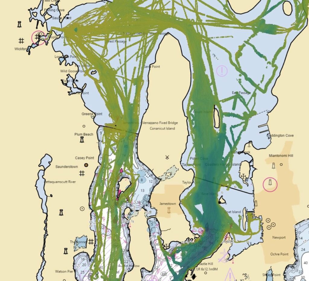
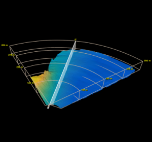
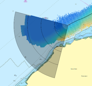 The data generated by our sonars can be displayed on both an intuitive 3D display and as an overlay on nautical charts providing an easy-to-understand interface that allows vessels of all sizes to be piloted through unknown and uncharted waters. The built-in Local History Mapping capability allows users to build a colour-coded 3D map of the seafloor where the vessel has recently sailed. All Argos systems also allow users to define and set automated visual and audible alarms.
Bathymetric data collected by the system can also be utilized in survey applications, and can be exported to QPS Qinsy to monitor bathymetry and detected hazards in the survey software. Users can thus incorporate this data into their workflow.
Learn more: 3D Sonar Technology