FarSounder, a leading developer of 3D forward looking sonar (FLS) technology, are moving their Local History Mapping™ functionality from vessels to a cloud-based data sharing service.
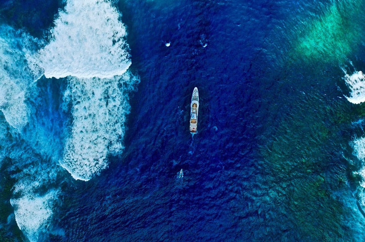
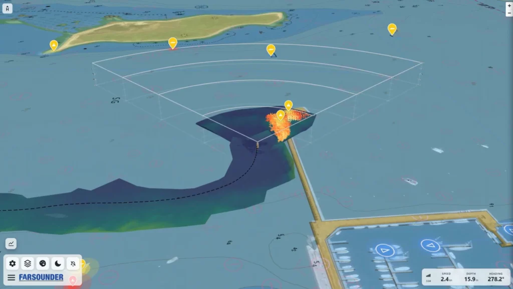
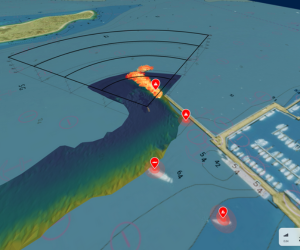
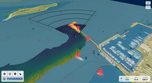
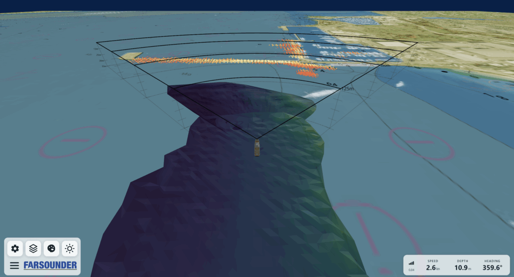
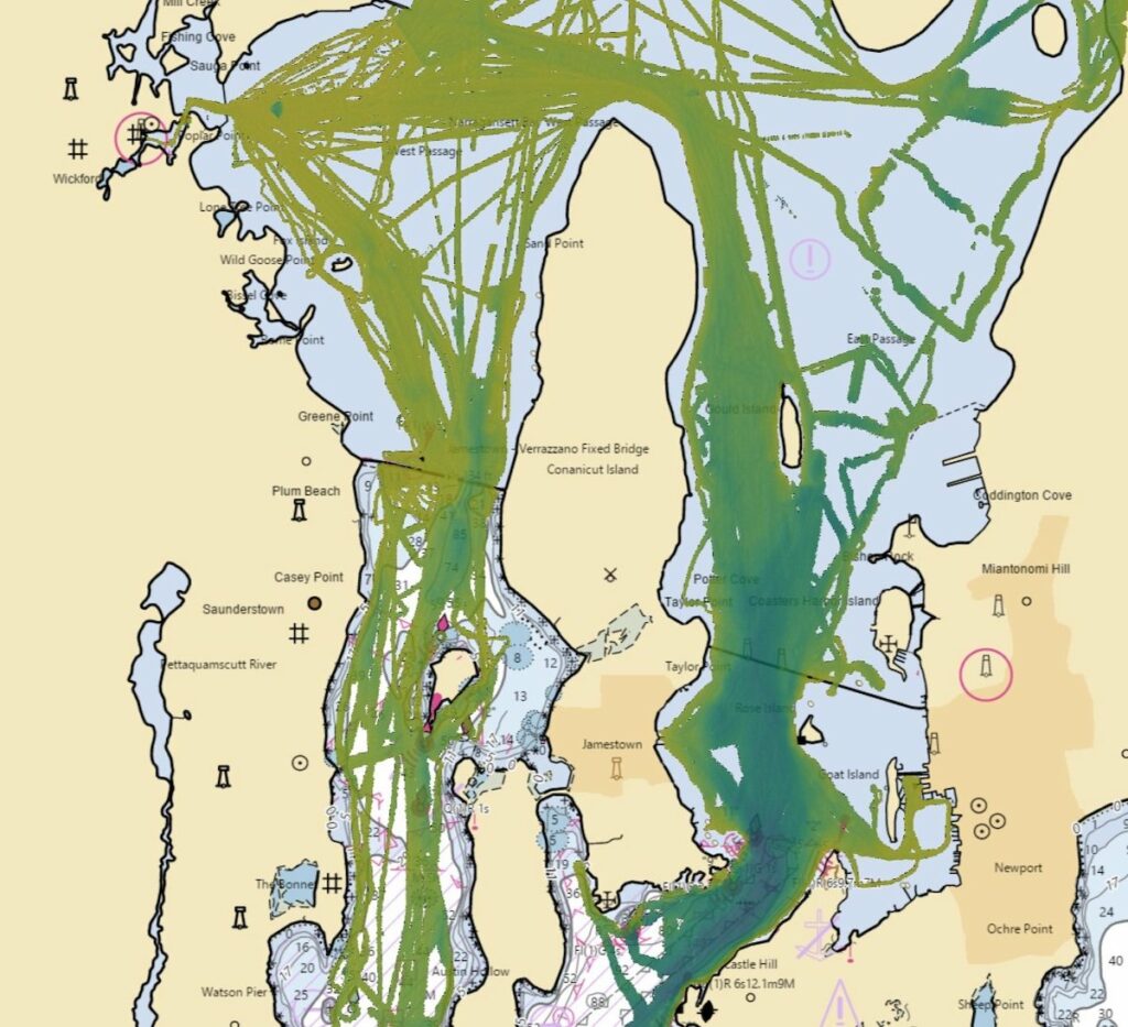
The Local History Mapping function creates a map of the sea floor as users sail underway, produced using FarSounder’s 3D FLS products with the capability of creating a real-time image under the water and ahead of vessels.
FarSounder state that moving this functionality to the cloud will enable data sharing across the FarSounder fleet, allowing customers to contribute toward global efforts in building a complete map of the sea floor across all the world’s oceans.
The Pilot Program
As of September 2023, FarSounder customers can request an invitation here >>
FarSounder is offering enrollment in a pilot program, inviting select customers with unique itineraries to sign up whilst FarSounder scales its fleet data sharing capabilities.
Participants will receive a beta version of FarSounder’s upcoming software to begin collecting and sharing data.
FarSounder customers will immediately receive the benefit of backing up Local History Mapping data into the cloud with no additional costs.
Contributions will also feed directly to the IHO’s Crowdsourced Bathymetry Database, which FarSounder say will benefit the community and may be included in the Seabed 2030 initiative.
Future benefits will include access to cloud tide corrected and cleaned versions of the submitted data, and access to data from other sources and vessels.