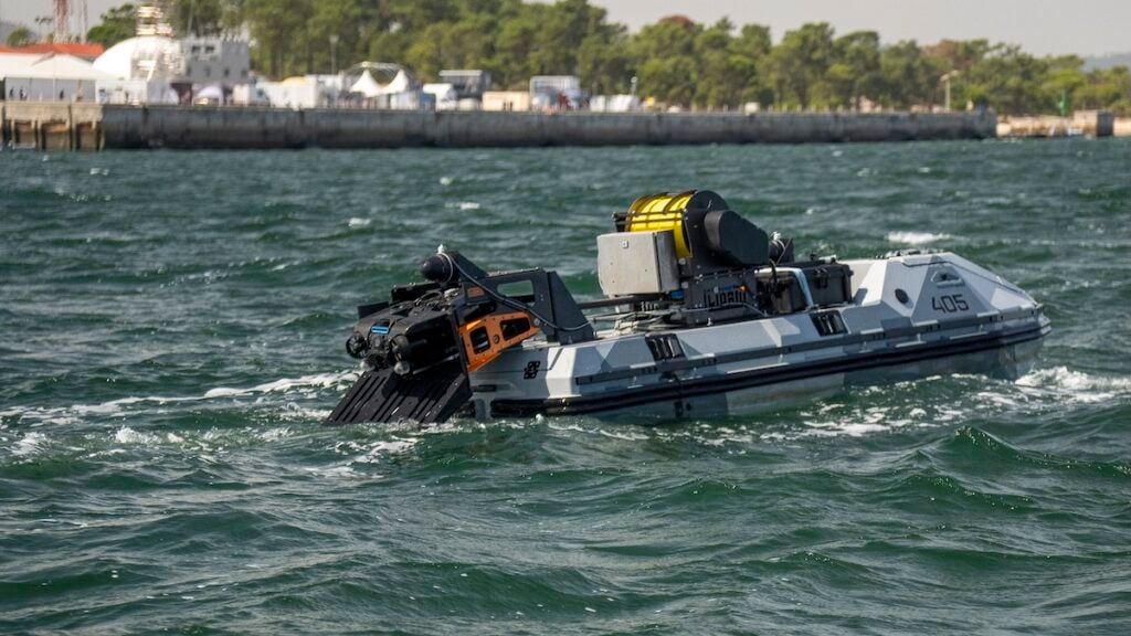
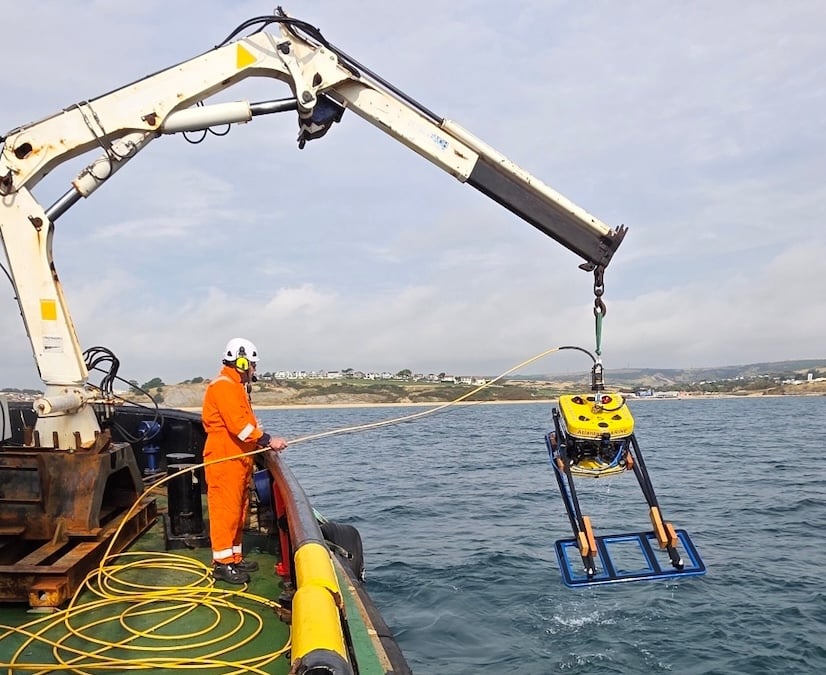
Deep Trekker demonstrates integrated USV and ROV mine countermeasures at REPMUS 2026, alongside developments in underwater inspection, sonar mapping, positioning, and diver-controlled operations
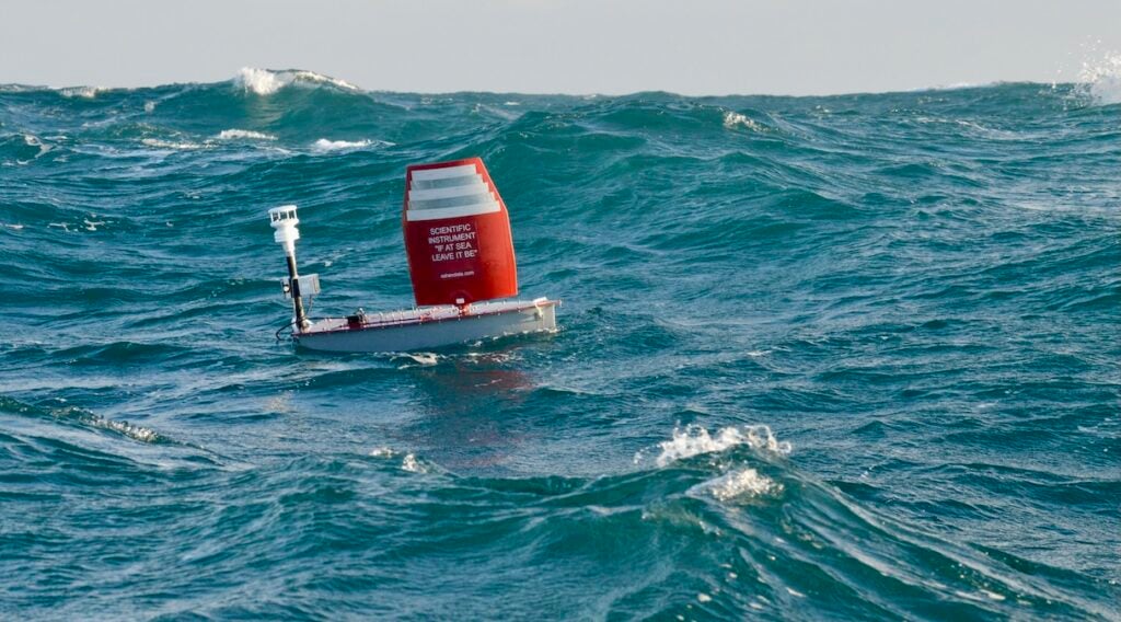
Oshen’s C-Star PC13 completes the first fully autonomous Atlantic crossing, demonstrating the endurance and navigation capabilities of sail-powered uncrewed surface vessels
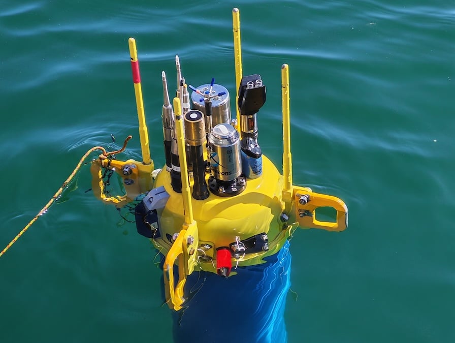
AML Oceanographic’s MVP200 enabled underway CTD profiling during the Mareano 2017 survey, supporting continuous multibeam data acquisition and sound velocity updates in the Barents Sea
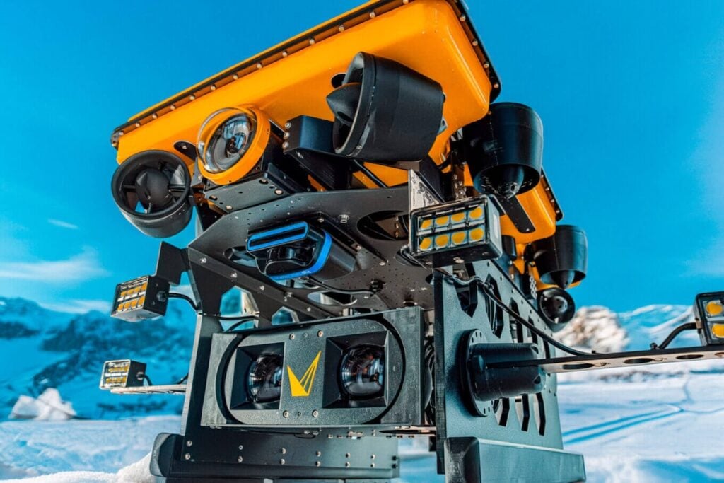
Integrating advanced Voyis stereo imaging with the MarineNav Oceanus Ultimate ROV unites real-time 3D spatial perception, adaptive piloting controls, and vectorized stabilization to transform subsea inspections across challenging, confined environments
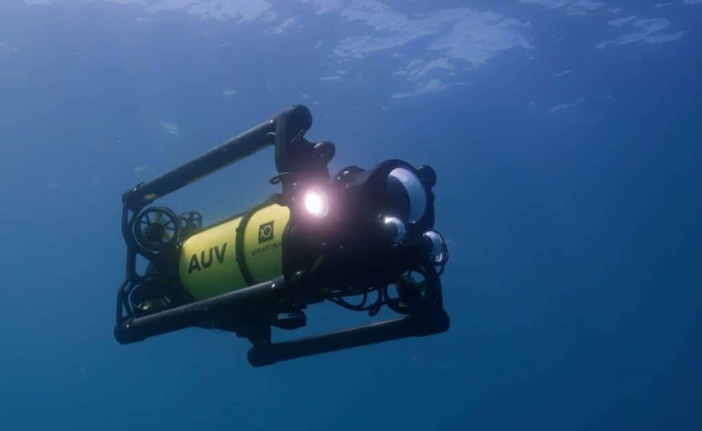
Boxfish Robotics examines how stable hovering AUV surveys can support underwater photogrammetry through repeatable vehicle positioning, controlled survey geometry, and synchronized imaging and navigation data
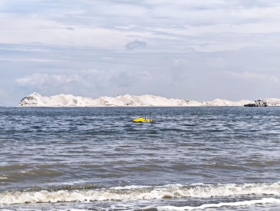
SatLab Geosolutions outlines how the HydroBoat 1200 USV and HydroBeam M2 multibeam echosounder were used for shallow-water land reclamation progress monitoring, covering survey operations, data processing, and reported accuracy compliance
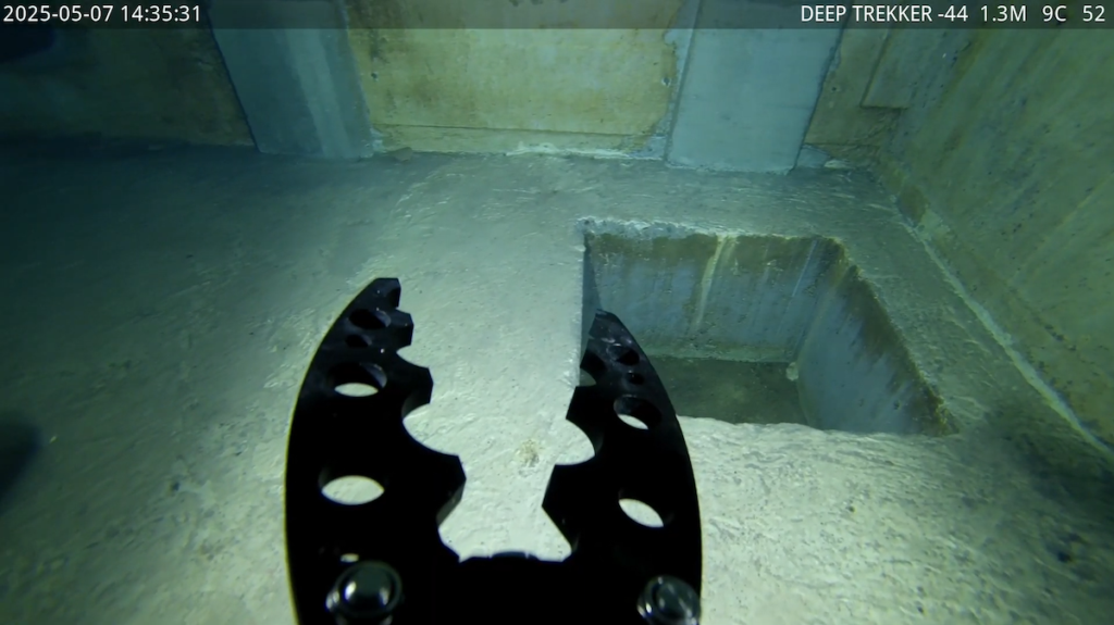
By deploying Deep Trekker remotely operated vehicles for clean water infrastructure assessments, SaskWater has drastically cut inspection times, eliminated confined space hazards, and gathered vital condition data to avoid costly asset dewatering
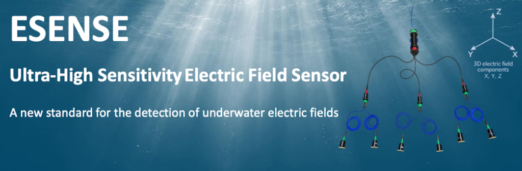
ELWAVE's ESENSE high-sensitivity, three-axis underwater electric field sensor combines configurable sampling rates and flexible integration options to support subsea infrastructure inspection, environmental monitoring, electric signature analysis and maritime security
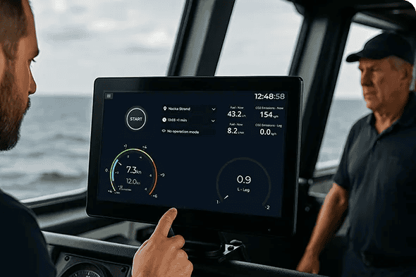
In this white paper, Cetasol discusses vessel-specific requirements, full, hybrid, and partial electrification options, and the role of operational data in informing maritime electrification decisions
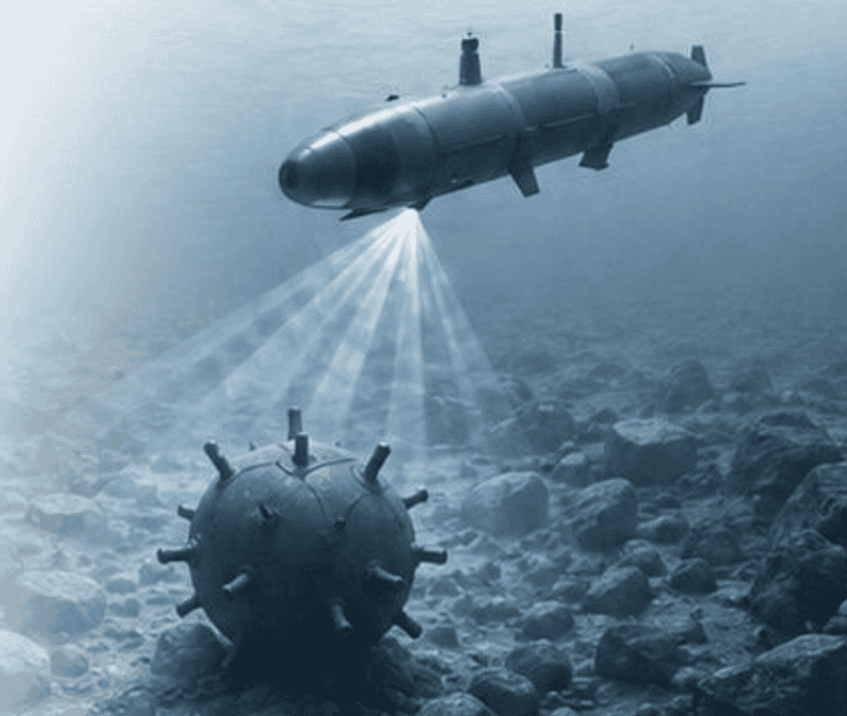
An independent EU Navy field test has demonstrated that StrateSea's FeatureLab platform reduces mine countermeasure sonar analysis time by roughly 90% while achieving equal or superior target detection compared to manual review
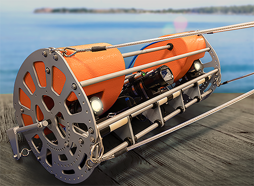
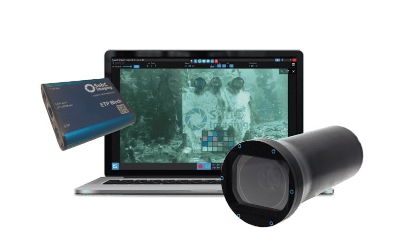
Engineered to eliminate custom development hurdles, SubC Imaging's integrated seafloor imaging platform combines single cable transmission, passive altitude control, and sensor logging to halve survey processing times across demanding marine environments
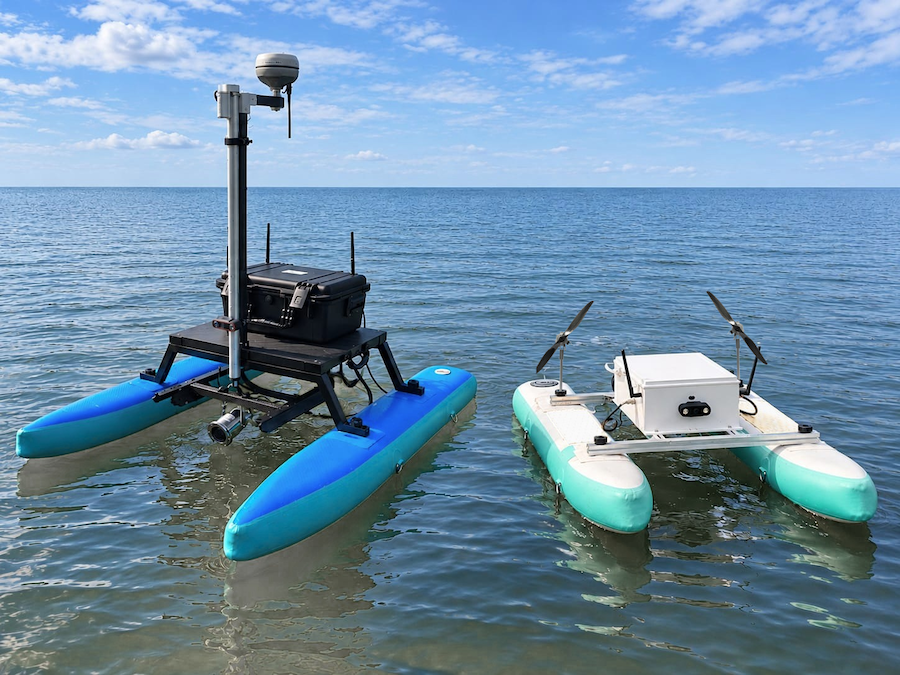
AGISTAR's BX USV II offers a customizable platform for marine surveying, research, and inspection, combining portable design with flexible payload, propulsion, and equipment integration options
Teledyne Marine explores how growing subsea cable networks are creating new demands for detection, burial, protection and ongoing infrastructure inspection
AML Oceanographic explores how high-accuracy conductivity and temperature measurements using the Air-Sea Interaction Profiler (ASIP) contribute to understanding air-sea interaction processes and the ocean surface boundary layer
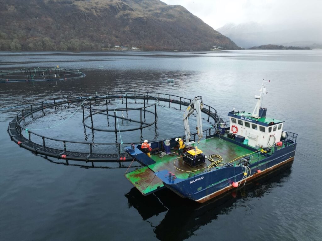
Deep Trekker discusses expanding Underwater Contracting Limited's subsea inspection and maintenance fleet with 15 PIVOT ROVs, deploying custom tooling to transform remote operations across aquaculture and offshore energy sectors
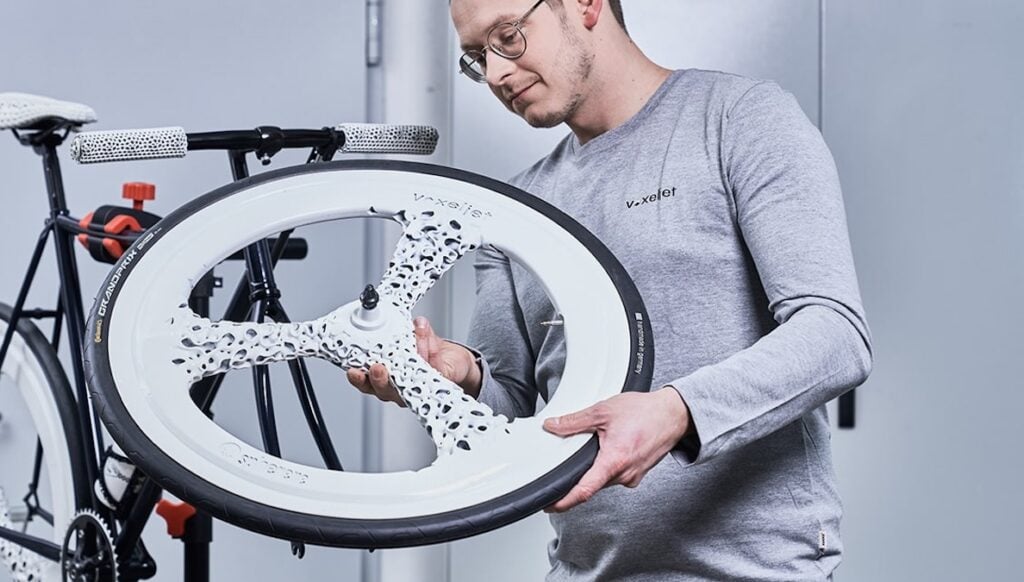
voxeljet’s High Speed Sintering technology enables a laser-free polymer 3D printing process that combines greyscale control of material properties with high productivity, supporting applications from functional prototyping to series production
Cetasol applies vessel data, digital twins, real-time guidance, and cloud-based monitoring to support fuel efficiency, performance analysis, compliance, and engine uptime
SubC Imaging compares its Rayfin underwater camera range, examining deployment applications, depth ratings, imaging capabilities, and operational considerations across diverse subsea missions
The latest offshore, subsea & marine technology news, straight to your inbox.
Get our weekly roundup of technology developments, new products and industry news.
THANK YOU FOR SIGNING UP
Thanks for joining us. Check your inbox.
We've sent you an email. Click the confirmation link to complete your subscription to the weekly eBrief. In the meantime, explore the latest news, suppliers and technologies.


 Searching Companies & Products