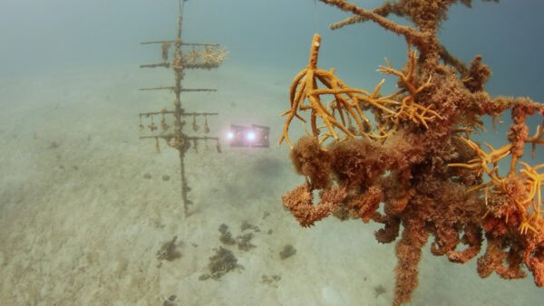
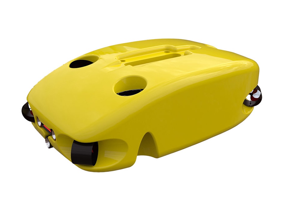
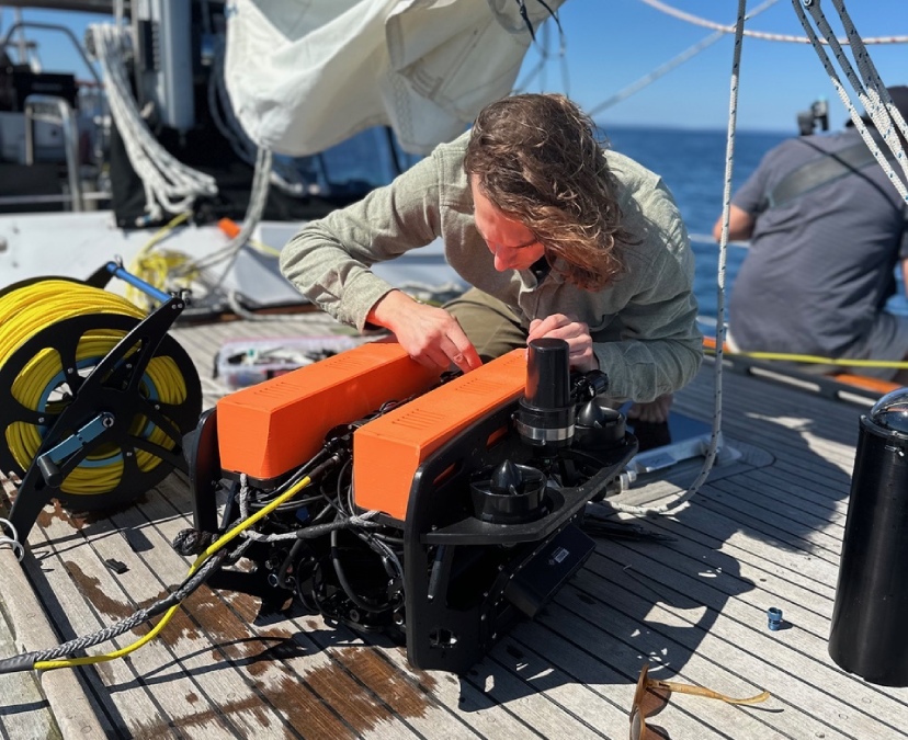
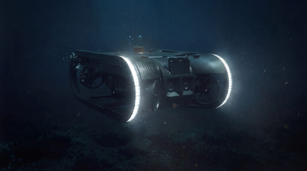
Discover how Boxfish Robotics’ Autonomous Underwater Vehicles (AUVs) support repeatable coral reef surveys through high-resolution imagery, environmental data collection and long-term monitoring capabilities
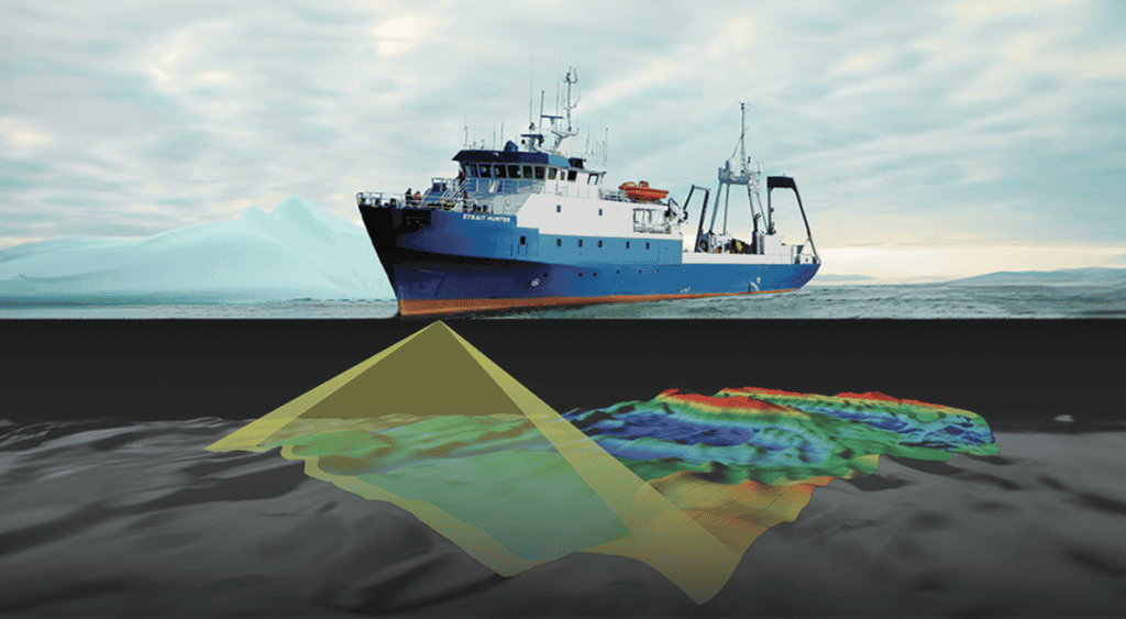
AML Oceanographic has partnered with hydrographic consultant Jonathan Beaudoin to demonstrate how highly precise sound velocity measurements prevent critical mapping distortions like smiles and frowns in modern multibeam sonar surveys
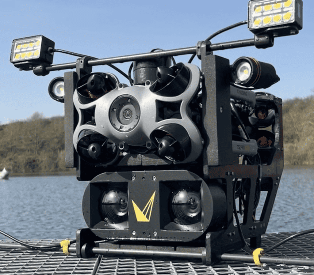
Voyis and its French reseller CADDEN have demonstrated an integrated underwater inspection solution that combines advanced stereo imaging with a compact ROV platform to capture detailed 3D infrastructure datasets
Xsens Sirius and Avior MRUs provide real-time Heave output for marine systems requiring accurate vertical motion data in wave-affected operating environments
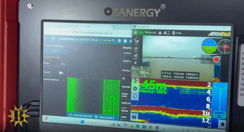
Cerulean Sonar imaging technology became a key component of Banergy’s underwater search and recovery operations in India, helping improve operations and significantly reduce mission times in flood-prone rivers
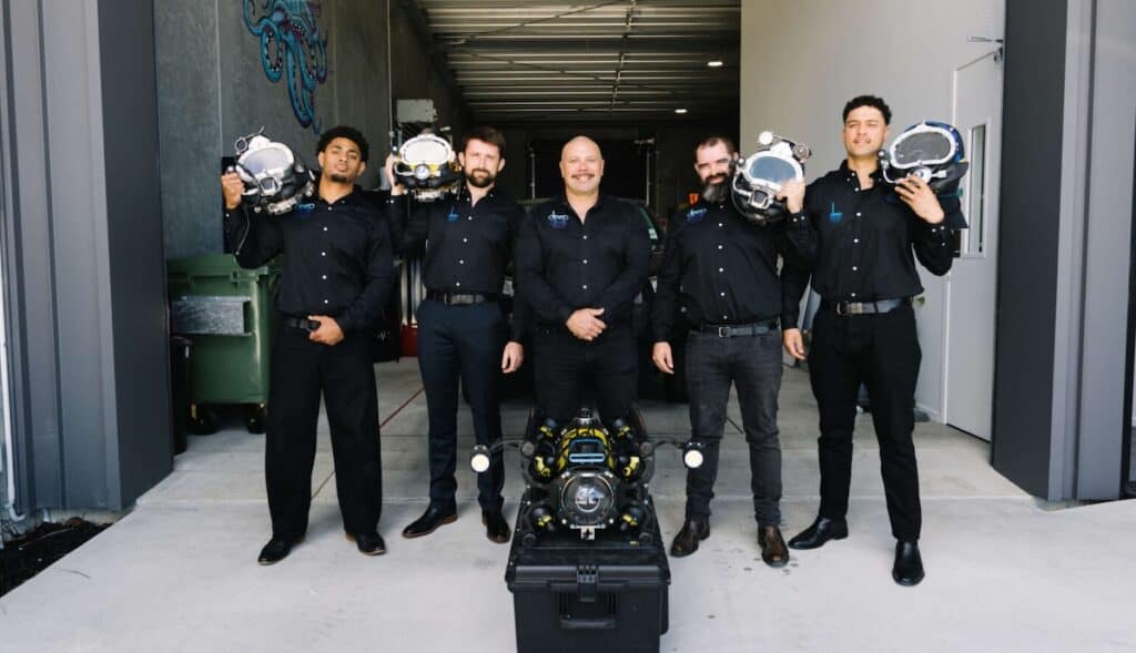
A Boxfish ROV enabled Deep Dive Division to navigate a confined underwater tunnel and gather inspection data using sonar systems where visual methods were ineffective
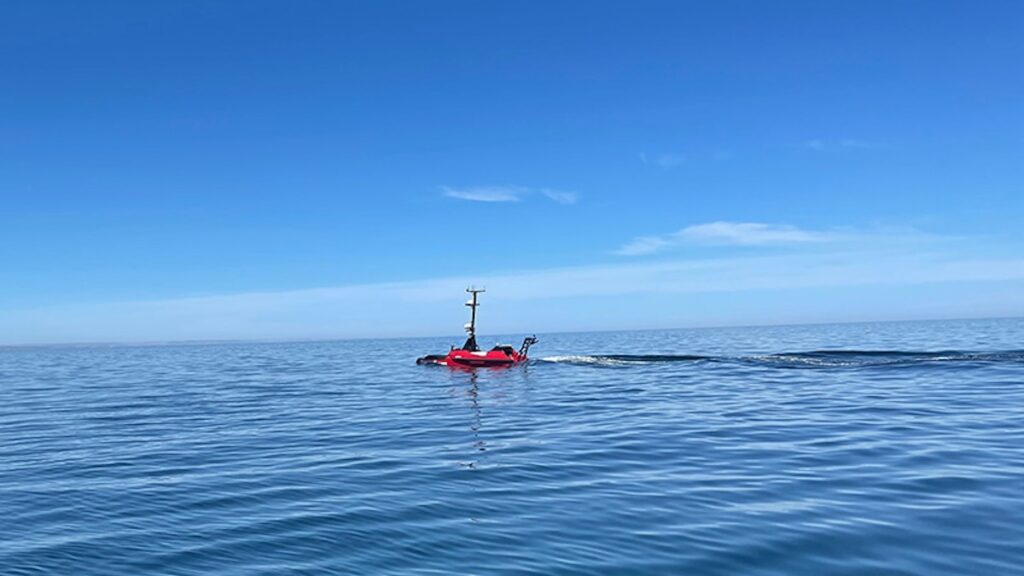
Ground Control examines how layered communications architectures can help offshore uncrewed surface vessel operators maintain visibility, continuity, and operational confidence when primary connectivity is disrupted
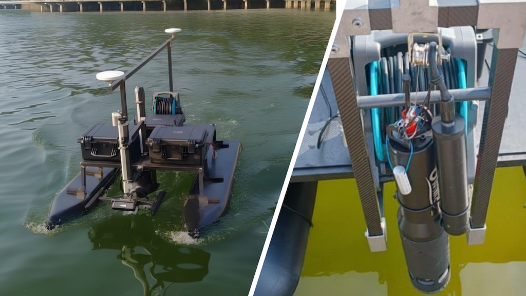
AGISTAR's Automatic Winch provides a controlled and efficient method for deploying and recovering underwater instruments from USV platforms during marine monitoring, research, and sampling operations
ALSEAMAR’s BMTI buoyancy modules provide depth-rated subsea buoyancy solutions for oceanographic vehicles and underwater platforms operating in shallow to full-ocean-depth environments
NORBIT Subsea showcases NORdredge, a real-time monitoring solution that combines multibeam sonar data and GIS-based visualization to support dredging operations
Cerulean Sonar’s Omniscan FS supported the successful identification of the Steinbrenner wreck during a deepwater Lake Superior ROV expedition near Isle Royale
Deep Trekker provides an overview of sonar technologies supporting underwater navigation, subsea inspection, real-time mapping, and asset assessment in complex marine environments
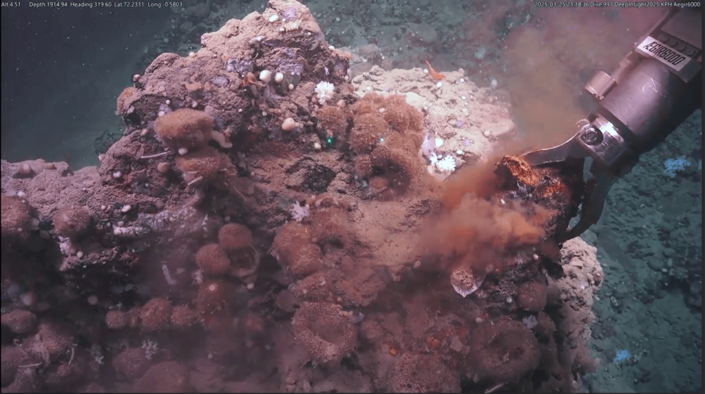
Deploying SubC Imaging's advanced recording software aboard a national research ROV enabled scientists to capture high-resolution seafloor imagery and seamlessly stream live video during complex expeditions across the Norwegian-Greenland Sea
MetOcean Telematics outlines how configurable surface detection methods in subsea recovery beacons, including conductivity, capacitance, and GNSS-based sensing, support reliable activation of recovery functions across challenging ocean environments
The latest offshore, subsea & marine technology news, straight to your inbox.
Get our weekly roundup of technology developments, new products and industry news.
THANK YOU FOR SIGNING UP
Thanks for joining us. Check your inbox.
We've sent you an email. Click the confirmation link to complete your subscription to the weekly eBrief. In the meantime, explore the latest news, suppliers and technologies.


 Searching Companies & Products