
As one ocean science season draws to a close, planning for the next often begins before the final surveys have been completed. For research teams reviewing how effectively field time was converted into usable data, SubC Imaging highlights a recurring issue: significant post-deployment effort can be consumed by organizing imagery, reconciling timestamps and rebuilding the context of observations made offshore.
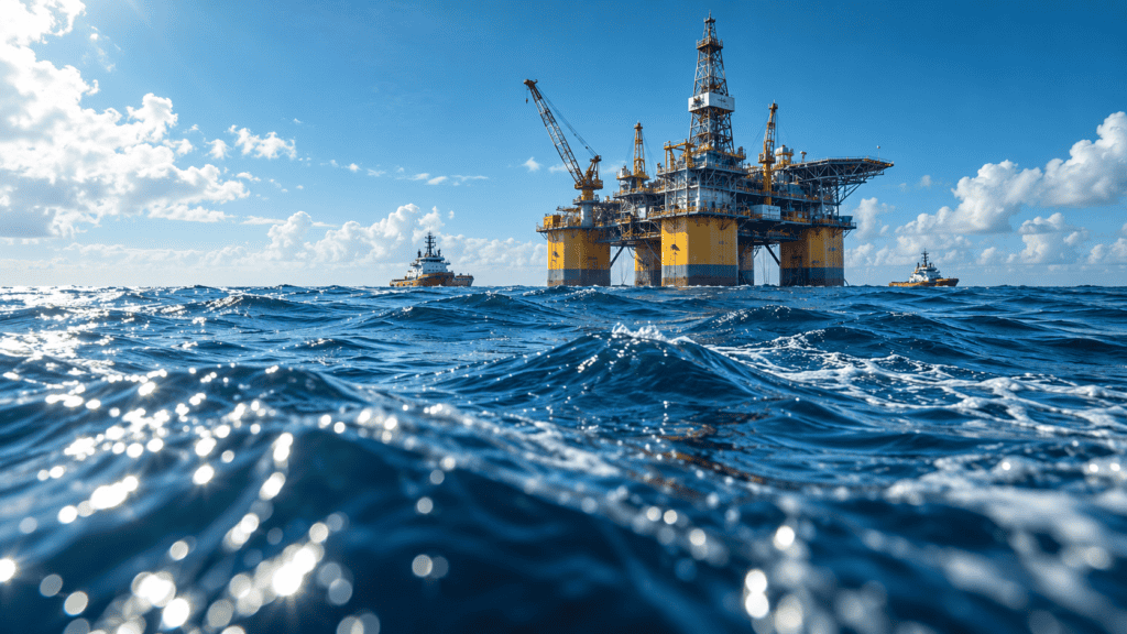
With vessel time potentially costing tens of thousands of dollars per day, inefficient data handling can extend the effective cost of a survey well beyond the period spent at sea. Teams may return from the field and spend a week or more matching timestamps, organizing video files and determining which imagery corresponds with particular GPS positions.
In projects constrained by short weather windows or deployments that cannot be repeated, reducing this post-field workload can help research teams make more effective use of available time and budget.
Much of that work can be addressed during acquisition by structuring imagery and associated information as the data is collected.
Linking Video, Position and Sensor Data During Acquisition
Reconstructing deployment context can become one of the most time-consuming stages of post-field processing. Typical tasks include matching handwritten observations with timestamps, cross-referencing GPS logs against recorded video and identifying image-quality problems only after a survey has concluded.
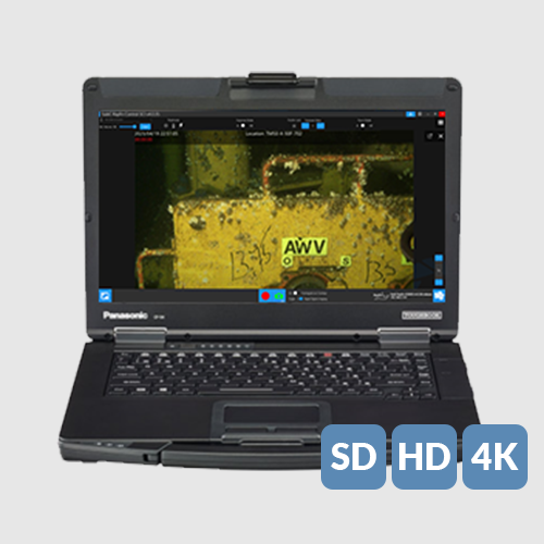
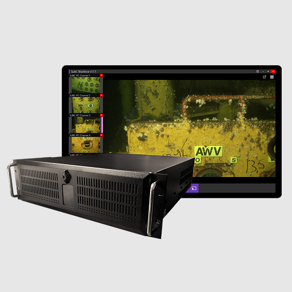
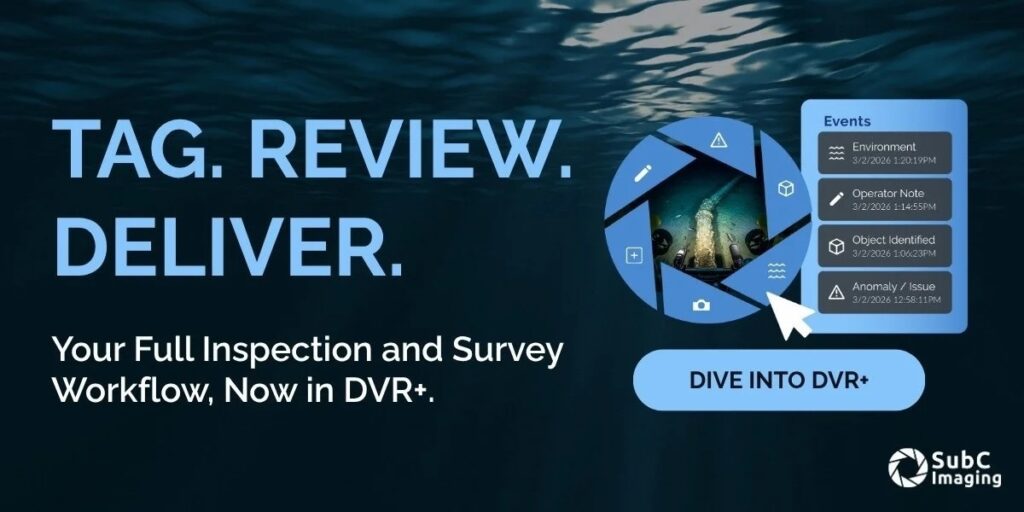
SubC Imaging’s DVR+ reduces this manual reconciliation by logging GPS, altitude, sensor information and event metadata alongside recorded video.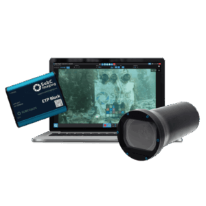
Observations are connected to imagery in real time, reducing the need to match separate records after the deployment. Teams that would otherwise spend a week or more sorting and synchronizing files can instead spend that time on analysis because the dataset returns organized.
Across a season involving several surveys, the source states that this can amount to two to four weeks of analyst time recovered.
Improving Imagery on Existing ROV Platforms
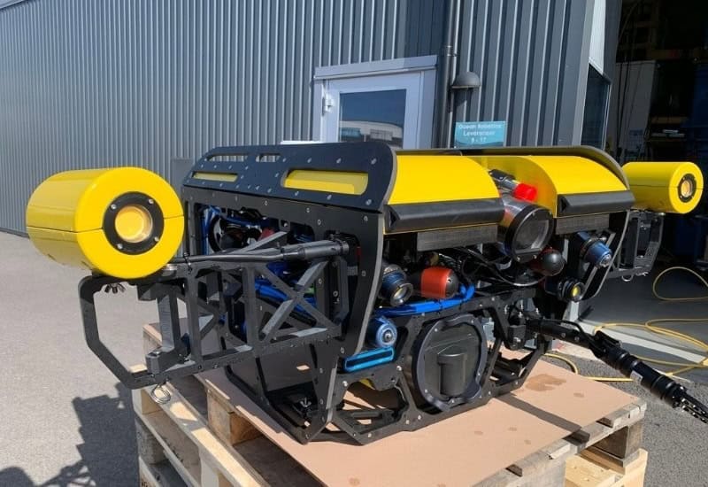
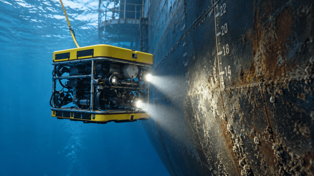
Image quality presents a separate challenge for research groups operating remotely operated vehicles that remain mechanically reliable but were not built for current imaging standards. Replacing an entire ROV solely to improve video acquisition may not be financially practical.
SubC Imaging’s Rayfin Uplink works over the coaxial or twisted-pair cabling already installed on many legacy ROVs, enabling HD and 4K capture without requiring a fiber retrofit or a complete vehicle rebuild.
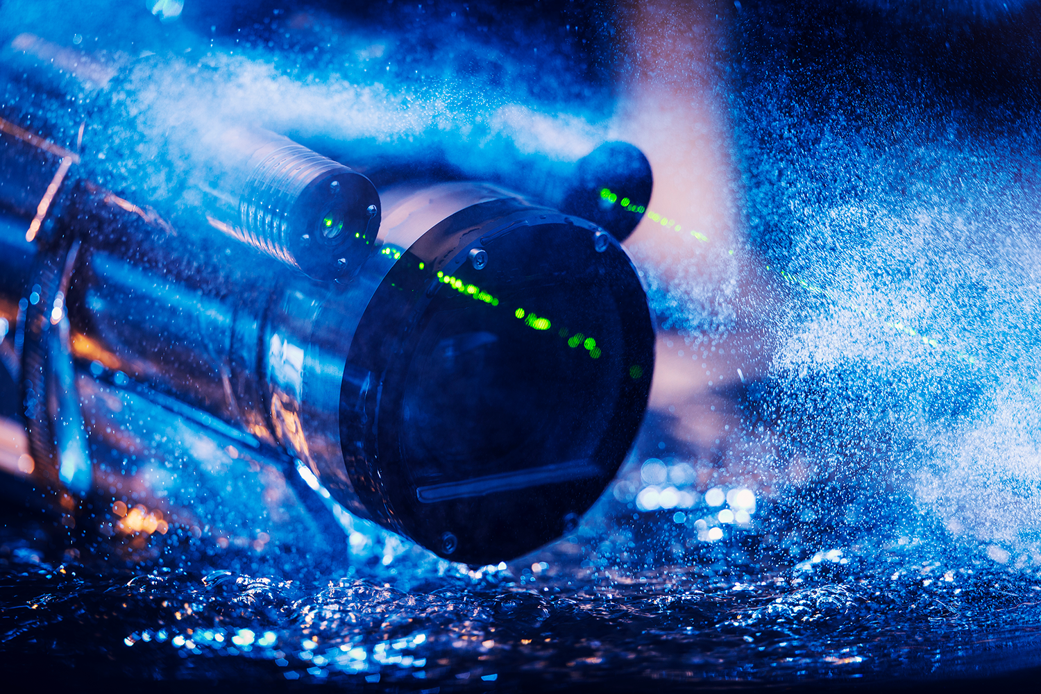
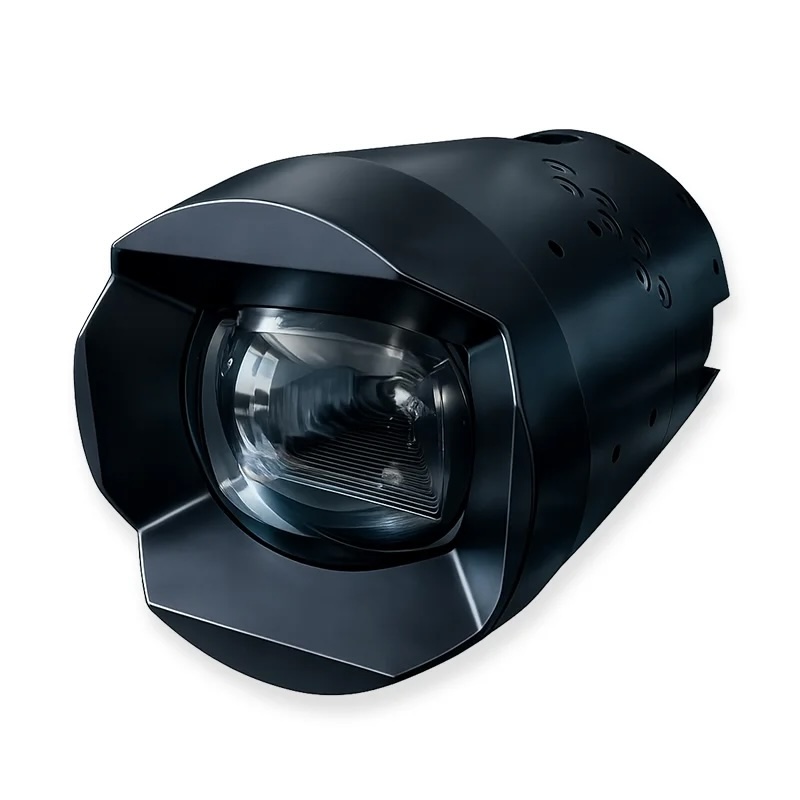
Paired with Rayfin camera systems, the setup supports clearer imagery in low-visibility or challenging conditions while allowing research teams to continue using equipment they have already purchased and know how to operate.
This approach can extend the operational life of existing equipment while providing an alternative to the capital expenditure associated with replacing the complete platform.
Selecting an Imaging Platform for the Survey
The choice of imaging platform can also influence vessel requirements and the amount of offshore time needed to complete a project.
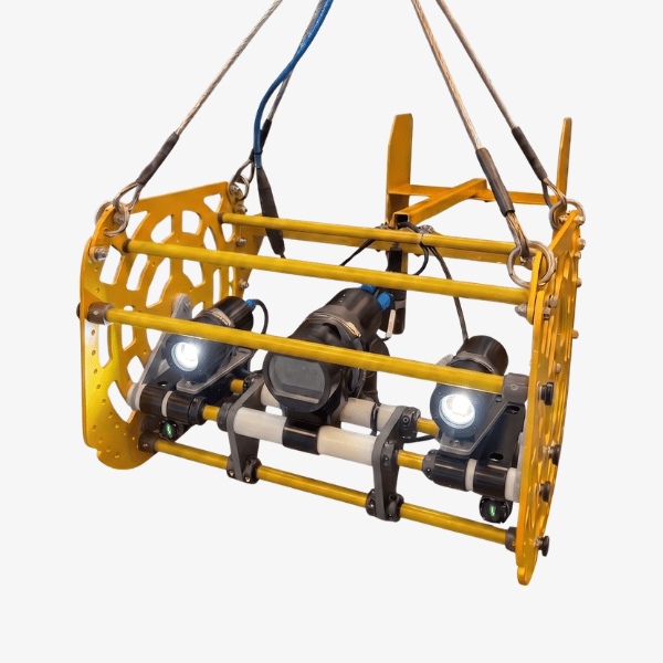
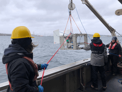
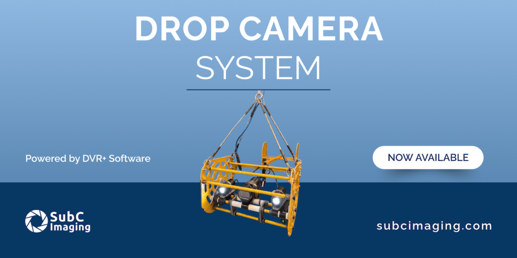
For rapid site assessments and repeat monitoring, SubC Imaging’s Drop Camera System provides a portable method of obtaining high-quality imagery from smaller vessels, reducing the need for larger and more costly charters.
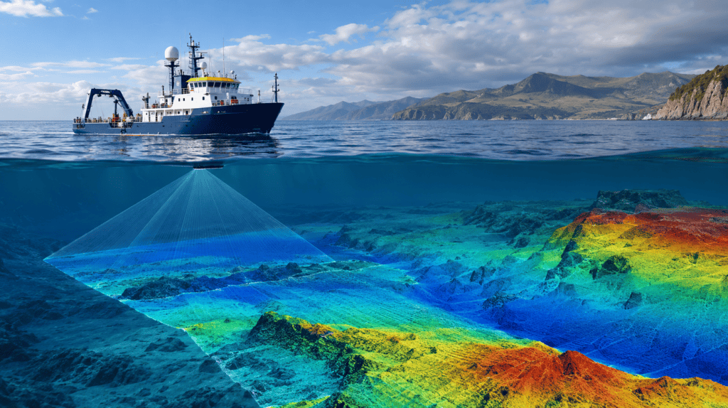
For projects requiring coverage across larger areas, the Tow Camera System supports continuous seafloor imaging over long transects. Applications identified in the source include habitat mapping, fisheries research and monitoring of marine protected areas.
SubC Imaging’s Observatory Camera System and Autonomous Timelapse System support automated image capture over periods ranging from months to years, with live streaming and sensor integration built in.
A single deployment can replace repeated visits to the same site during a field season, reducing vessel use together with the associated fuel consumption, emissions and operating costs.
Planning Data Handling Before Going Offshore
Preparing an imaging workflow before mobilization can help research teams assess whether imagery and associated information will be organized and ready for analysis on return.
Key considerations include whether observations and metadata can be recorded during acquisition rather than reconstructed later, whether image quality can be improved without replacing existing equipment, and whether the selected imaging platform is appropriate for the specific survey objective.
Teams can also consider whether every deployment is likely to produce usable data if weather reduces the available field window.
Converting Field Time Into Usable Research Data
Effective marine imaging workflows depend not only on the performance of cameras and deployment platforms, but also on how information is captured, associated and organized throughout a survey.
By integrating metadata collection with video acquisition, upgrading imaging capability without necessarily replacing existing ROV infrastructure, and matching the deployment method to the requirements of each project, research teams can reduce the amount of post-field work needed before analysis begins.
For planning ahead of the next ocean science season, the central consideration is how efficiently each hour offshore can be converted into organized, usable research data.