Maritime intelligence software combines vessel tracking, surveillance data, and analytics to support maritime domain awareness and operational decision-making. These platforms integrate AIS transmissions, satellite imagery, coastal radar, and vessel databases to monitor maritime traffic, identify anomalous activity, and assess potential risks.
This page features providers of maritime intelligence software for applications including fleet management, port operations, fisheries enforcement, and environmental monitoring.
If you design, build or supply Maritime Intelligence Software, create a profile to showcase your capabilities and connect with visitors who have an active requirement for your solutions.
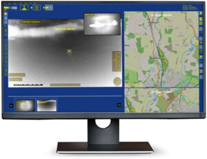
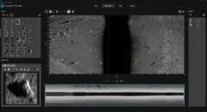
Edge-based video analytics software for maritime surveillance & ISR operations
Edge-based video analytics software for maritime surveillance & ISR operations
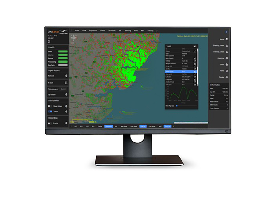
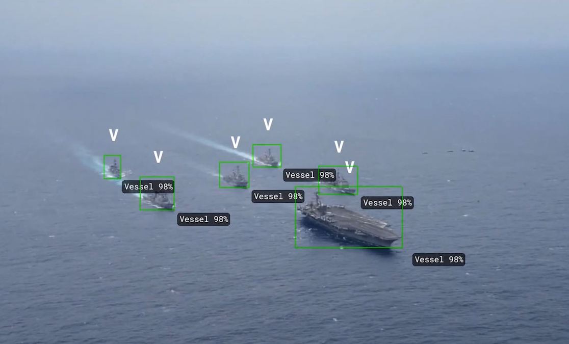
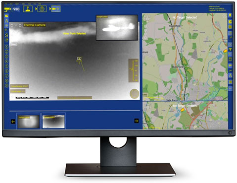
...deo Processing Software is a suite of advanced video analytics and image processing technologies... The software incorporates a range of image optimization capabilities, including stabilization,...
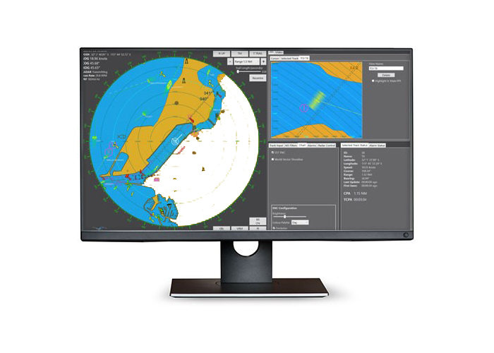
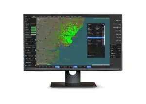
Combine observations from primary & secondary sources into a single correlated data stream
Combine observations from primary & secondary sources into a single correlated data stream
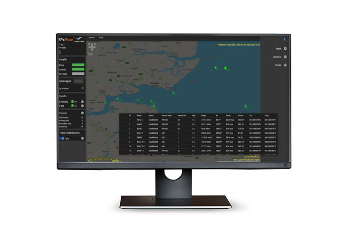
... and secondary maritime sensors and data sources, including radar, AIS, IFF, and ADS-B, into a... ... provided as a software library that allows developers to quickly and easily add fusion capability...
A Comprehensive Overview of Maritime Intelligence Software
Overview by
William Mackenzie
Updated:
Introduction to Maritime Intelligence Software
Maritime intelligence software collects, processes, and analyzes vessel movements, shipping activity, and other maritime data to support situational awareness and operational decision-making. By combining information from Automatic Identification System (AIS) transmissions, satellite observations, coastal radar, and vessel databases, these platforms provide insight into maritime traffic, vessel identities, movement patterns, and activity across coastal waters and open oceans.
Used by shipping companies, port authorities, maritime security organizations, fisheries regulators, and offshore operators, maritime intelligence platforms support vessel tracking, risk assessment, regulatory compliance, and environmental monitoring. Advanced systems incorporate AI, geospatial analytics, and automated detection capabilities to correlate observations, identify unusual or suspicious activity, assess maritime risks, and improve operational efficiency.
Core Capabilities of Maritime Intelligence Software
Real-Time Tracking and Geospatial Dashboards
Maritime intelligence software displays vessel positions, headings, speeds, and movements on interactive geographic maps, allowing operators to monitor shipping activity across ports, coastal regions, and international waters. By integrating terrestrial and satellite AIS feeds with other surveillance data, geospatial dashboards can also incorporate maritime boundaries, exclusion zones, weather conditions, and infrastructure locations to provide a consolidated operational view. Position update frequency depends on factors such as sensor coverage, vessel transmission intervals, reception conditions, and data latency.
Behavioral Analysis and Anomaly Detection
Behavioral analytics examine vessel movements and operating patterns to identify activity that differs from expected behavior. Maritime intelligence platforms can analyze historical routes, speed changes, prolonged loitering, unusual port visits, and encounters between vessels, while rule-based detection and machine learning algorithms help flag potential security concerns, unauthorized fishing, unusual shipping movements, and other events that may require further investigation.
“Dark” Vessel and AIS Tampering Detection
Maritime surveillance software can identify potential non-cooperative vessels by correlating satellite imagery, radar observations, and other independent data sources with available AIS vessel tracks. These systems may also flag unexplained transmission gaps, inconsistent vessel identities, or reported positions that conflict with independent observations, supporting fisheries enforcement, sanctions investigations, and maritime security. Missing AIS transmissions do not, however, establish deliberate tampering, as gaps may also result from equipment faults, limited reception, transmission conditions, or vessels that are not required to carry AIS.
Predictive Routing and Risk Scoring
Predictive analytics use historical vessel movements, current positions, voyage information, and environmental conditions to estimate future routes, destinations, and arrival times. Maritime intelligence platforms can also assign risk indicators or scores based on factors such as vessel behavior, ownership records, previous port calls, and activity near restricted areas, supporting voyage planning, compliance screening, fleet monitoring, and operational risk management. Higher-risk results generally require further analyst assessment rather than being treated as definitive conclusions.
Automated Alerts and Reporting
Automated monitoring tools notify operators when predefined maritime events or risk conditions occur, helping reduce the need for continuous manual observation. Alerts may be triggered by vessels entering restricted areas, unexpected route deviations, unusual vessel encounters, or changes in identification data, while configurable dashboards and reporting functions allow analysts to document incidents, reconstruct historical movements, review supporting observations, and distribute maritime intelligence findings to relevant personnel or organizations.
Key Types of Maritime Intelligence Software
Maritime intelligence solutions serve different operational requirements, ranging from regional surveillance and regulatory compliance to commercial shipping analysis and environmental enforcement. The following table compares the principal software categories by their analytical focus, typical users, and deployment models.
Software Type
Primary Focus
Typical Users
Deployment Models
Maritime Domain Awareness (MDA) Platforms
Vessel surveillance, multi-source data fusion, maritime traffic monitoring, and detection of suspicious activity.
Coast guards, naval organizations, maritime authorities, and offshore security operators.
Cloud-based, on-premises, and hybrid systems, including integration with coastal surveillance centers.
Risk, Sanctions, and Regulatory Compliance Platforms
Shipping companies, maritime insurers, financial institutions, and compliance teams.
Cloud-based platforms, subscription services, and systems integrated through Application Programming Interfaces (APIs).
Commercial Fleet, Port, and Voyage Optimization Systems
Shipping intelligence, vessel tracking, estimated arrival times, port congestion analysis, and voyage performance monitoring.
Shipowners, fleet operators, charterers, logistics companies, and port authorities.
Cloud-based applications, enterprise software, and hybrid fleet management systems.
Environmental and Fisheries Enforcement Software
Fishing activity analysis, marine protected area monitoring, unauthorized vessel activity detection, and environmental compliance assessment.
Fisheries authorities, environmental regulators, research institutions, and conservation organizations.
Cloud-based analytical platforms, Geographic Information System (GIS)-integrated applications, and government surveillance systems.
Data Sources for Maritime Intelligence Software
Maritime intelligence platforms combine vessel positioning information, remote sensing observations, surveillance systems, and reference databases to build a more comprehensive picture of activity at sea. Software correlates observations using location, time, movement patterns, and identification records to associate sensor detections with known vessels or flag unmatched targets, with the reliability of resulting intelligence depending on data coverage, update frequency, source quality, and the strength of these associations.
Terrestrial and Satellite AIS: Shore-based AIS receivers collect vessel identification, position, speed, and heading information within radio reception range, while satellite AIS extends coverage into offshore and remote ocean regions. Together, these sources support broad vessel tracking and historical movement analysis, although reception limitations, reporting intervals, traffic density, and vessel transmission behavior affect the completeness and timeliness of available records.
Earth Observation: SAR, RF Geolocation, and Optical Imagery: Synthetic Aperture Radar (SAR) satellites can detect vessels through radar reflections during both darkness and cloudy conditions, while Radio Frequency (RF) geolocation systems can locate certain maritime emissions and optical satellite imagery provides visual observations when lighting and atmospheric conditions permit. These sources can help identify vessels without matching AIS records and provide independent observations for vessel identification and movement analysis.
Coastal Radar and Vessel Traffic Services (VTS): Coastal radar provides independent measurements of vessel presence and movement within monitored waters, while information from VTS can contribute vessel tracks, identification details, and traffic observations around ports and busy shipping routes. Correlating these records with AIS improves local maritime surveillance and can help identify targets that do not correspond with expected vessel transmissions.
Vessel Registries and Ownership Databases: Maritime intelligence software uses vessel registration details, International Maritime Organization (IMO) numbers, ownership records, flag states, and operating histories to support identification and risk assessment. Commercial shipping databases may also provide information about vessel characteristics, management companies, historical port calls, and changes in ownership, registration, or flag state.
Combining independent observations with vessel reference information allows analysts to evaluate activity, investigate inconsistencies, and distinguish routine maritime operations from events that warrant closer examination. Outputs may include correlated vessel tracks, activity alerts, risk assessments, and historical movement reports.
Emerging Trends in Maritime Intelligence Platforms
Advances in satellite sensing, automated analytics, and connected maritime systems are expanding the volume and variety of information available to maritime intelligence operators. Software development is increasingly focused on processing large datasets efficiently, reducing repetitive manual analysis, improving multi-source correlation, and distributing intelligence across operational platforms.
AI and Automated Behavior Recognition: Machine learning algorithms are being applied to historical vessel tracks, satellite observations, and maritime activity patterns to identify anomalies and prioritize potential incidents for review. Automated classification and event detection can reduce repetitive analysis, while human assessment remains important when evidence is incomplete, ambiguous, or dependent on operational context.
Expansion of Commercial Satellite Constellations: Increasing availability of commercial satellite AIS, SAR, optical imagery, and RF sensing services is improving access to observations across remote maritime regions. Combining multiple satellite technologies provides additional opportunities to identify vessels, reconstruct movements, and investigate activity beyond the coverage of terrestrial surveillance systems.
Integration with Unmanned and Autonomous Systems: Maritime intelligence platforms are increasingly integrated with Unmanned Surface Vessels (USVs) and Unmanned Aerial Vehicles (UAVs) used for patrol, inspection, and surveillance. These systems can contribute radar, optical imagery, and other sensor observations to shore-based intelligence platforms, while maritime intelligence data can also support mission planning, tasking, and coordination of autonomous monitoring operations.
Cloud Architecture and API-First Delivery: Cloud-based infrastructure and APIs allow maritime intelligence software to integrate with fleet management systems, geographic information platforms, and external data providers. Scalable processing supports analysis of extensive vessel movement histories, while standardized interfaces simplify the exchange of maritime intelligence between authorized organizations and operational systems.
These developments are supporting more integrated maritime surveillance and shipping intelligence capabilities by combining real-time observations with historical analysis, multi-source data correlation, and automated processing to improve vessel monitoring, operational planning, and maritime risk assessment.
The latest offshore, subsea & marine technology news, straight to your inbox.
Get our weekly roundup of technology developments, new products and industry news.
THANK YOU FOR SIGNING UP
Thanks for joining us. Check your inbox.
We've sent you an email. Click the confirmation link to complete your subscription to the weekly eBrief. In the meantime, explore the latest news, suppliers and technologies.