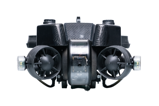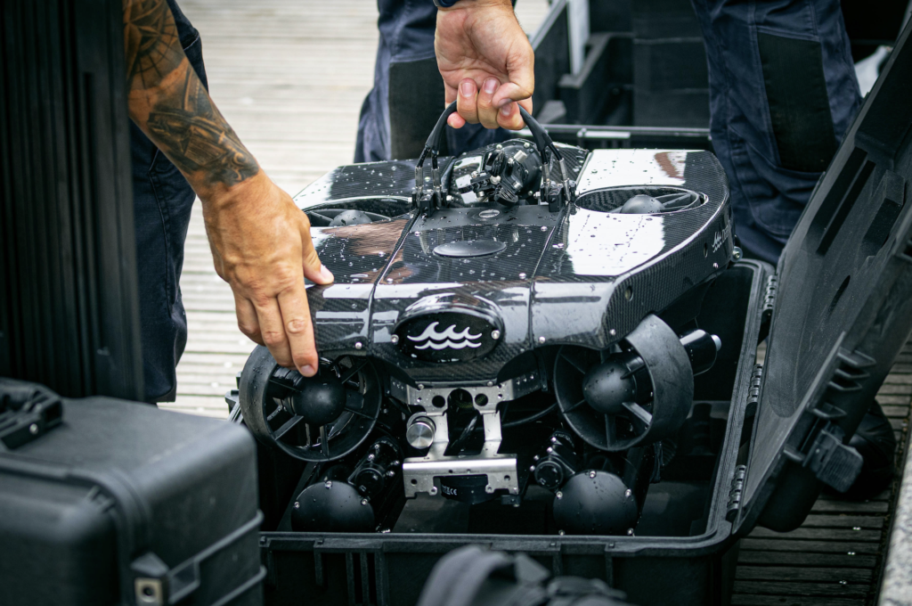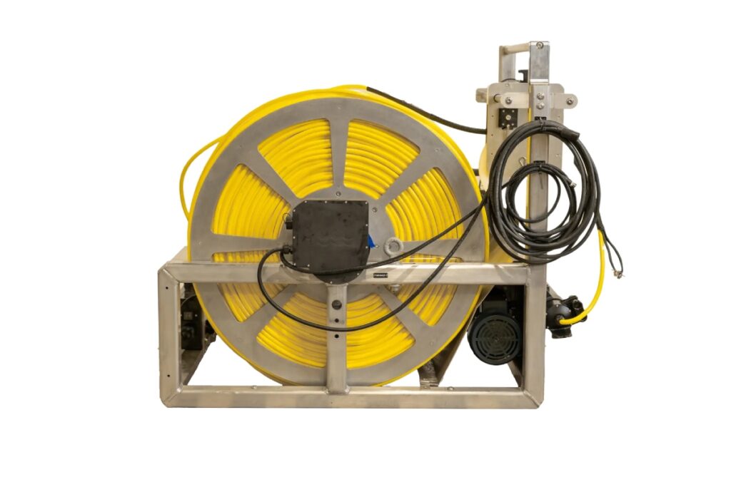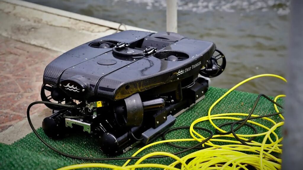
Deep Trekker details how its PIVOT ROV supported subsea research during a 24-day Antarctic expedition involving 22 women explorers from more than nine countries, who retraced Sir Ernest Shackleton’s historic Imperial Trans-Antarctic route while conducting interdisciplinary research across the Southern Ocean. Read more >>

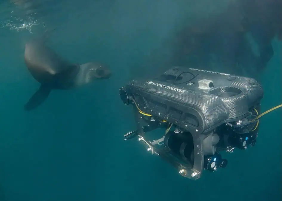
Photo Credit: Lureen Ferretti (Expedition Underwater Photographer)
A dedicated four-member Submersible Science Team deployed the observation-class ROV, with the mission encompassing benthic habitat surveys, hydrothermal vent reconnaissance, visual documentation supporting leopard seal ethogram studies, GIS-based comparisons of current and historical glacier extents, under-ice environment observations, and submerged maritime heritage sites.
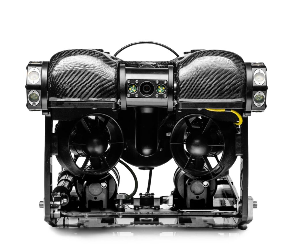
Operating from zodiac-based platforms in remote Antarctic field conditions, the PIVOT ROV captured hours of 4K video from the seafloor and overlying water column. The ROV contributed to documentation and detailed scientific observations of seabed geology, benthic habitats, water column analysis, anthropogenic impacts, and ice-ocean interactions.
Visual surveys revealed rich and abundant benthic communities, while hydrothermal reconnaissance at Deception Island produced video documentation of hydrothermal vent systems believed to represent the first recorded footage from the study area. The ROV also contributed to a leopard seal ethogram study described as the world’s first, led by expedition team member Sarah Neill, enabling remote underwater documentation to complement in-water observations conducted by the expedition team.
Field observations, historical records, GIS workflows, and ROV imagery were integrated to document environmental changes observed during the expedition. Contemporary observations were compared with historic records and maps from the 1921–22 Shackleton-Rowett Expedition, providing insight into changes over the past century. Researchers documented glacier retreat, newly exposed seabed features, fresh ridges and boulder fields, new lagoons in previously ice-covered areas, and changes in coastal morphology consistent with long-term glacier retreat.

Photo credit: Jami Cantrell (Expedition Wildlife and Nature Photographer)
GIS provided a spatial framework connecting scientific observations, historical records, and field operations within a georeferenced environment. ArcGIS Online and ArcGIS StoryMaps were also used to develop interactive platforms, with maps, photographs, videos, historical context, and expedition observations combined in StoryMaps.
The expedition’s Submersible Science Team demonstrated how a compact observation-class ROV can support interdisciplinary polar research across marine ecology, geology, oceanography, glaciology, and maritime heritage within a single field campaign.
The PIVOT’s portability and removable battery system supported transport and mobilization for remote Antarctic fieldwork, while single-operator deployment and recovery supported operations from zodiac platforms. Underwater observations reduced human risk in environments unsuitable for divers, while the ROV’s repeatable survey capability can provide georeferenced visual records to support long-term environmental monitoring and future scientific comparison.
Read ‘Antarctic ROV Expedition: How the Deep Trekker PIVOT Supported All-Women Ocean Science Research’ for more information.