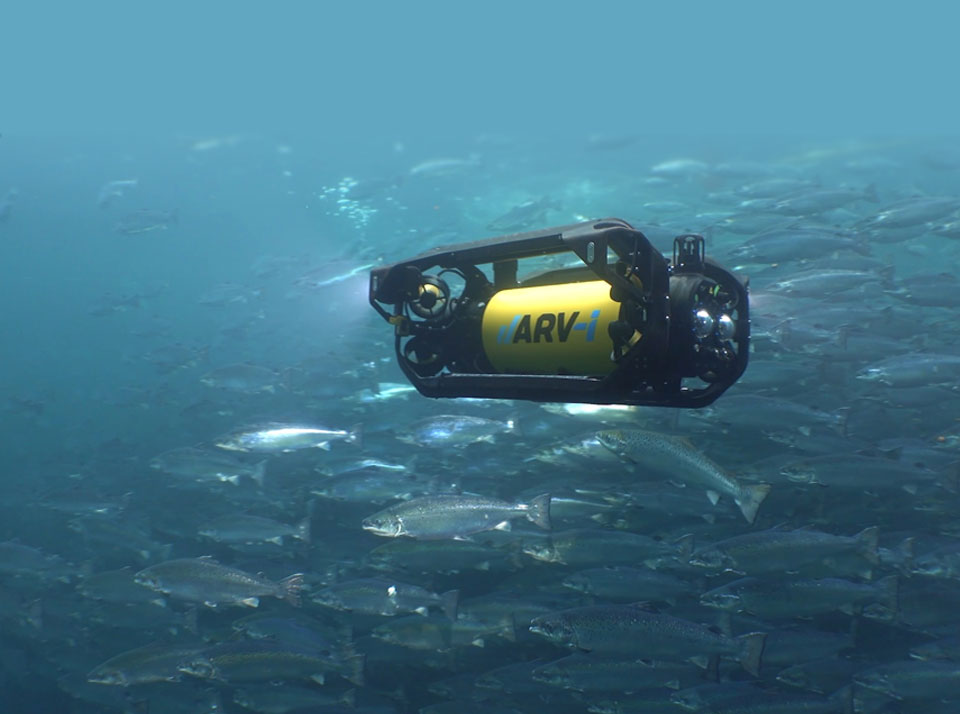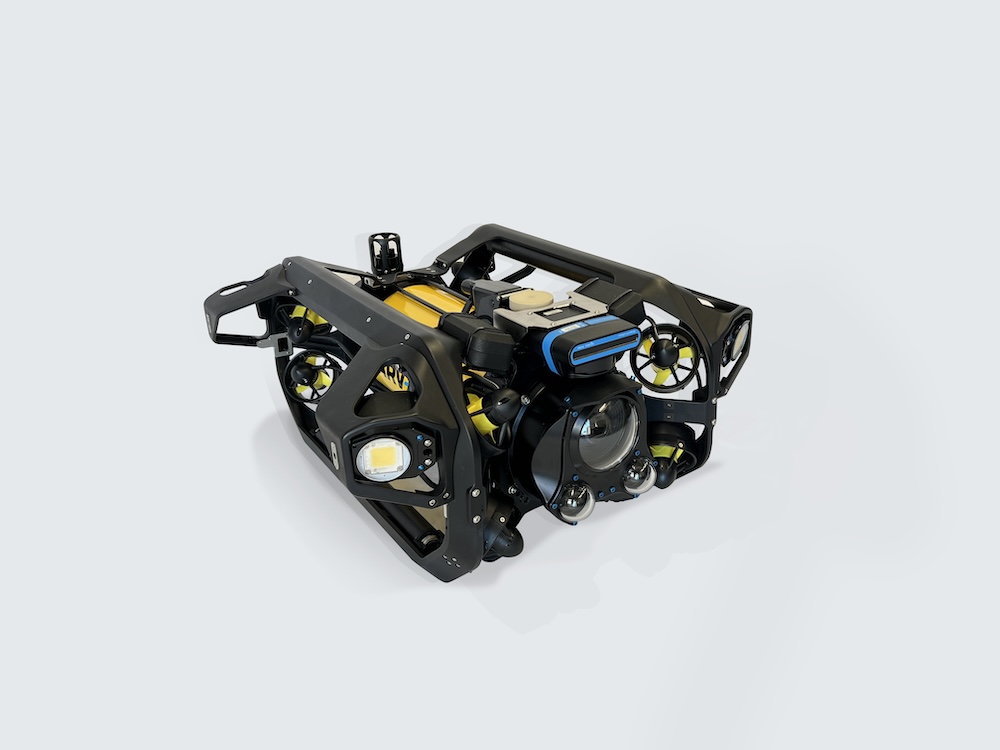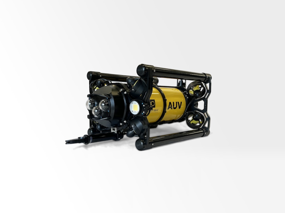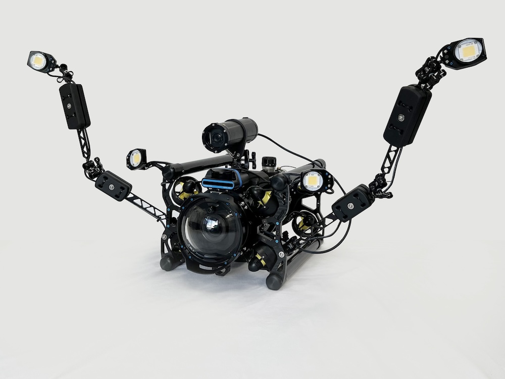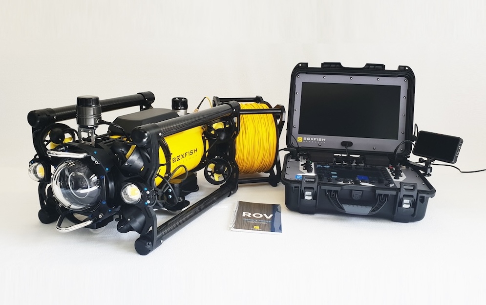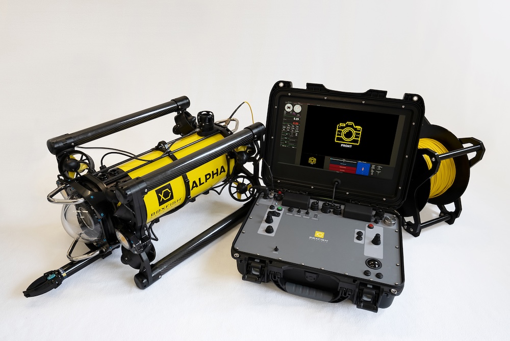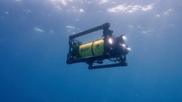
Boxfish Robotics highlights its AUV Software Suite as a collection of software applications developed to support autonomous underwater survey operations conducted with the company’s Boxfish AUV and ARV-i platforms.
Structured around a three-stage workflow, the suite separates mission planning, operational supervision, and spatial review into dedicated applications designed to simplify deployment and support scientific and survey workflows.
The Boxfish AUV Software Suite consists of three integrated applications:
- SafePath Mission Planner for mission definition
- Boxfish Commander for mission execution and supervision
- Boxfish Live Tracker for spatial visualization
By separating planning, operation, and review functions into individual software tools, the suite reduces unnecessary complexity while supporting the full survey lifecycle. The applications communicate with one another to maintain workflow continuity, and both mission planning and operational control can be carried out without Internet connectivity, supporting deployment in remote field environments. Interfaces throughout the suite are designed for practical use during vessel-based operations, including deployment from small boats.
1. SafePath Mission Planner for Survey Definition
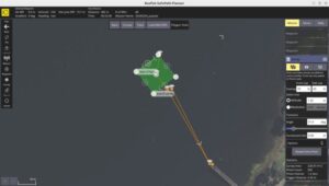
Boxfish SafePath Planner
SafePath Mission Planner is used before deployment to define survey geometry and configure data collection parameters. Through a map-based interface, users can establish waypoints, transects, or grid survey patterns while assigning settings such as vehicle speed, operating altitude, and camera or environmental sensor behavior.
The software is intended to support teams without requiring specialist robotics or programming expertise. Mission configurations can be saved and reused, enabling repeatable surveys and consistent data collection across long-term monitoring activities.
2. Boxfish Commander for Mission Execution and Supervision
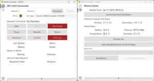
Boxfish Commander
Boxfish Commander is used during deployment to initiate and supervise autonomous survey missions. The application provides live telemetry and system status information, allowing operators to confirm that the vehicle is functioning as expected throughout the mission.
The software supports mission start, operational monitoring, and mission interruption when required.
3. Boxfish Live Tracker for Spatial Visualization and Review
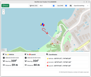
Boxfish Live Tracker
Boxfish Live Tracker is used to visualize the spatial context of survey operations by displaying vehicle position and reference points within a mapped environment. The application also supports playback of completed missions using recorded log files.
This functionality enables users to review survey coverage, verify vehicle paths, and relate collected data to geographic location. The spatial review capabilities support reporting, analysis, and long-term environmental monitoring studies.