


SubC Imaging develops subsea imaging systems for environmental monitoring, habitat mapping, and seabed survey operations. Read more >>
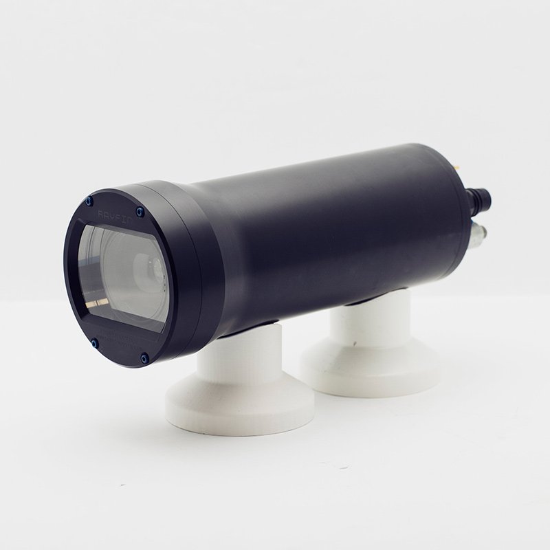
The company’s Tow Camera System combines imaging, recording, and metadata capture within a single survey workflow designed to support repeatable visual data collection across large underwater areas.
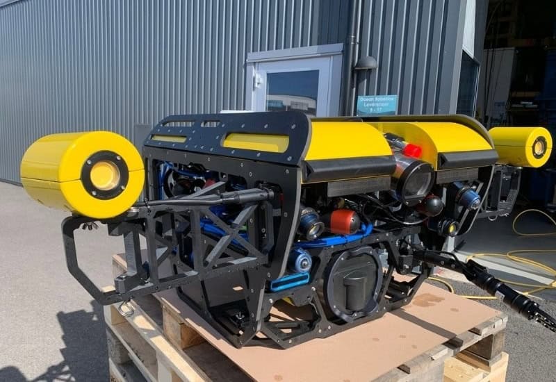
Remotely Operated Vehicles (ROVs) remain widely used for subsea inspection and observation because they provide direct control, real-time visibility, and the ability to inspect specific targets closely. However, not all survey operations require that level of maneuverability or operator control.
For projects focused on broad survey coverage, long transects, and repeatable data acquisition, towed camera systems can provide an effective alternative.
Selecting the Appropriate Survey Method
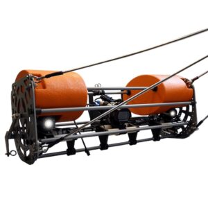
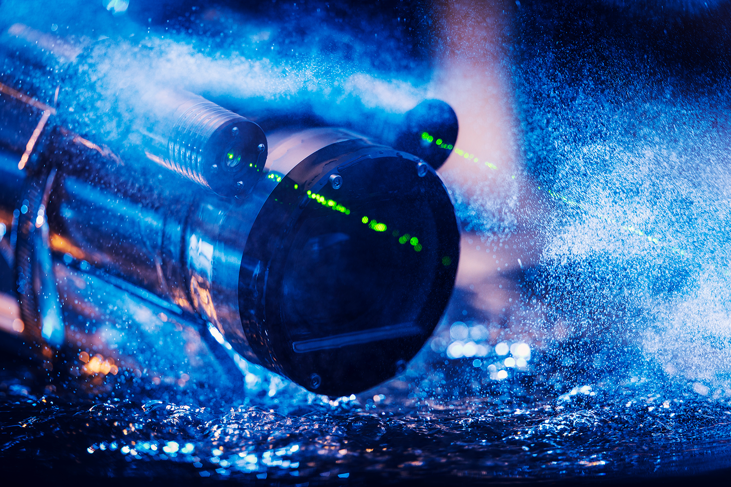
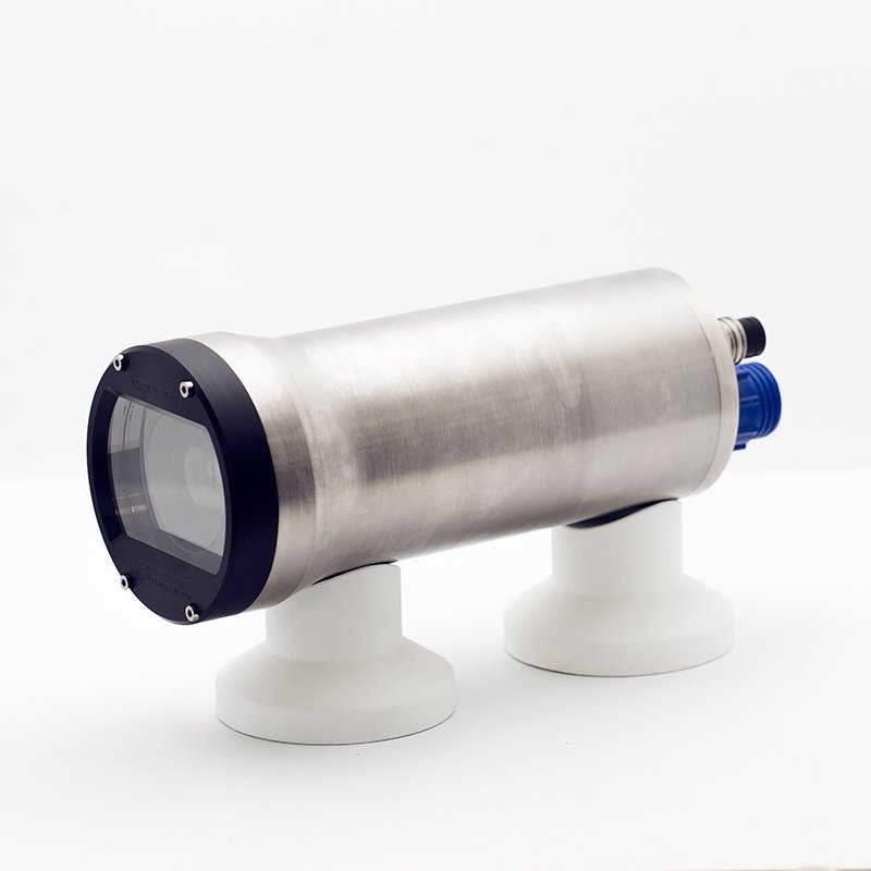
Tow Camera System, Powered by Rayfin Single Channel Inspection Software.
ROVs are well suited for targeted inspection and survey tasks where operators need to maneuver precisely, investigate specific features, and make decisions in real time. For broader survey work, they can be less efficient for covering extended distances.
Long-duration ROV operations may require additional operator input as well as increased vessel and crew resources.
When the objective is to capture continuous visual data across a defined survey area, a towed deployment method can often provide a suitable approach.
Towed Camera Systems for Continuous Survey Coverage
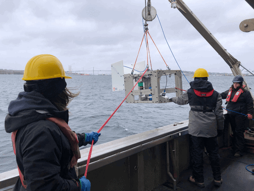
A towed camera system is deployed from a vessel and pulled through the water along a planned survey line. Rather than being actively piloted, the system is designed to move steadily at a controlled speed while maintaining a stable position relative to the seabed.
As the system moves along the survey route, it continuously captures visual data, making it suitable for applications including:
- Seabed and benthic surveys
- Environmental monitoring
- Habitat mapping
- Cable and pipeline route assessments
Some tow systems combine multiple capabilities within a single platform, including high-resolution still imaging, HD or 4K video, integrated lighting, and sensor data collection. Together, these functions allow operators to capture both visual and contextual survey data during the same deployment.
Maintaining Imaging Conditions During Tow Operations
Towed camera systems allow operators to collect imagery across large areas in a repeatable manner.
Maintaining image quality during tow operations depends on the system’s ability to:
- Hold a consistent altitude above the seabed
- Remain stable during towing operations
- Provide even lighting coverage
- Capture synchronized data alongside imagery
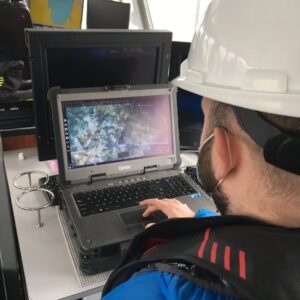
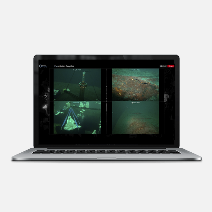
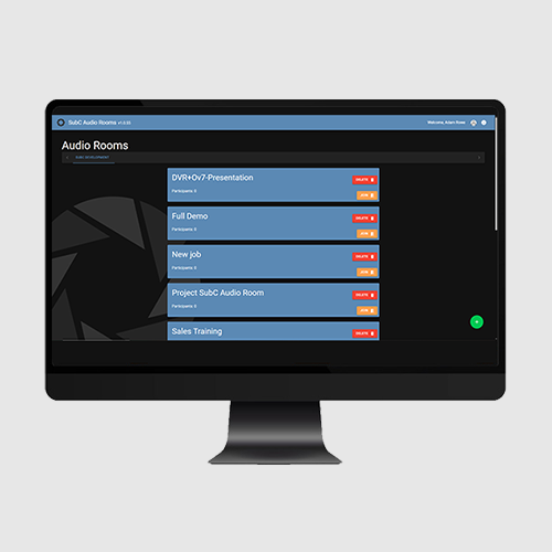
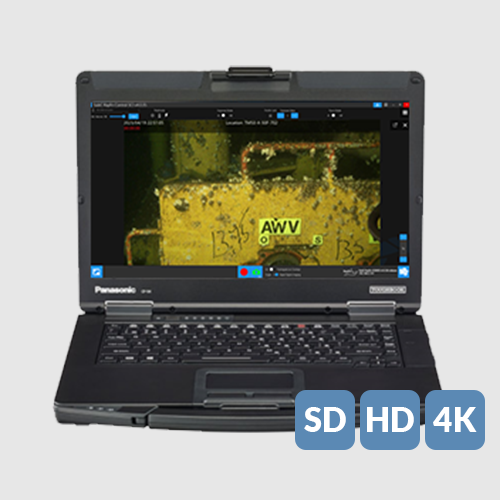
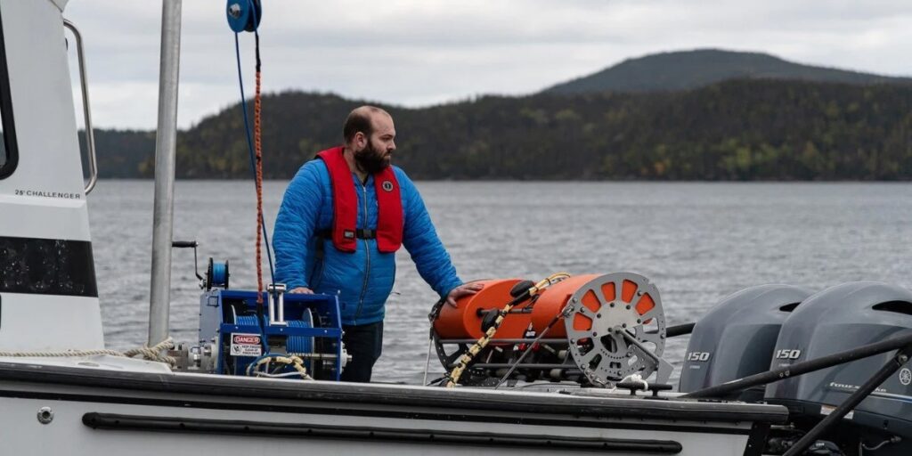
SubC Imaging DVR+ being used to monitor the Tow Camera System in action.
Features such as stable tow frame design, adjustable camera and lighting configurations, and built-in altitude measurement capability help maintain stable positioning throughout the survey.
Without this level of control, survey imagery can become more difficult to interpret and use during post-survey analysis.
Survey Performance and System Integration
In seabed survey operations, the camera is only one component of the overall system. Final survey results depend on the performance of the complete platform during deployment.
Key factors include:
- Tow frame stability and hydrodynamic performance
- Camera positioning and angle
- Lighting coverage and performance
- Real-time monitoring during tow operations
- Image and video recording
- Metadata capture for positioning and reporting
If these elements are not properly aligned, survey teams may spend additional time organizing and correcting data after the survey is complete.
Integrated Imaging and Metadata Capture
SubC Imaging’s Tow Camera System combines imaging, data capture, and recording within a unified workflow.
During tow operations, the system can capture:
- Real-time HD and 4K video for live monitoring
- High-resolution still images for detailed analysis
- Automated metadata including timestamps, GPS coordinates, depth, and sensor information
- Integrated topside recording for immediate review and access
The system also incorporates a built-in altimeter and adjustable camera and lighting configurations to help maintain consistent altitude and image quality throughout the survey.
By capturing imagery and supporting data simultaneously, the system reduces the need for manual logging and simplifies post-survey data organization.
Choosing Between ROVs and Towed Systems
The most appropriate subsea imaging method depends on the objectives of the survey.
ROVs are often better suited for applications requiring precise maneuvering, close inspection, and real-time response to specific features or infrastructure. Towed camera systems are typically better suited for collecting continuous visual data across larger survey areas in a repeatable manner.
The selection depends on factors including survey coverage requirements, operating conditions, and the type of data needed at the conclusion of the project.
For many survey teams, towed camera systems provide an effective balance between operational efficiency and repeatable data collection. They allow operators to cover larger survey areas while maintaining stable imaging conditions. When imaging, lighting, and metadata capture are integrated within the same system, the amount of post-survey organization and processing can also be reduced.
As environmental monitoring and large-area seabed survey requirements continue to expand, towed camera systems remain a widely used method for collecting repeatable seabed imagery across large survey areas.