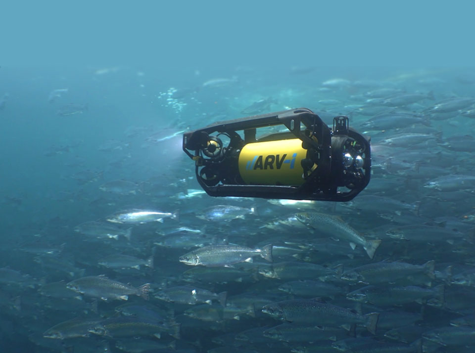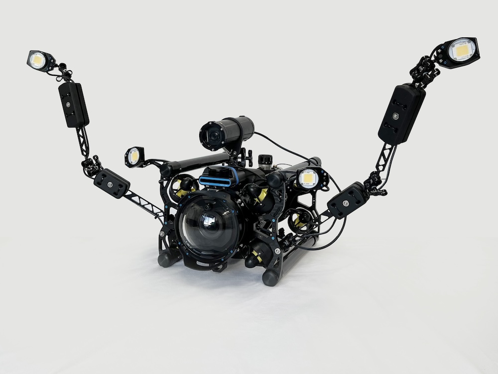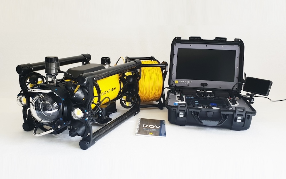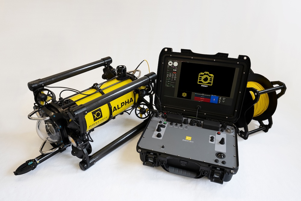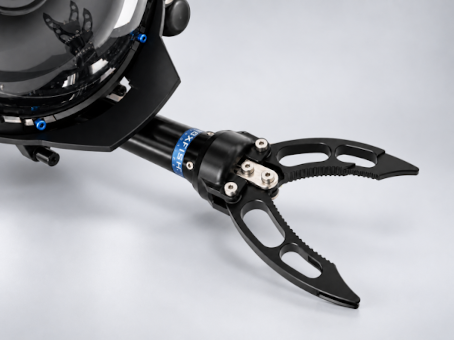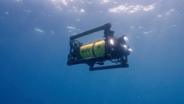
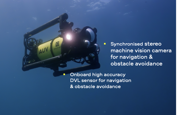
Obstacle avoidance is a key capability for autonomous underwater vehicles operating in complex marine environments. Boxfish Robotics addresses this challenge in its hovering AUV platform through a combination of DVL-based terrain awareness and stereo camera-based obstacle detection, enabling the vehicle to respond to obstacles while preserving planned survey paths. Read more >>
In subsea environments, obstacles can appear without prior indication, requiring Autonomous Underwater Vehicles (AUVs) to detect hazards, assess risk, and respond in real time without significantly disrupting planned survey paths. For applications including environmental monitoring, seabed mapping, and infrastructure inspection, this capability supports safer and more consistent autonomous data collection.
Combining DVL Awareness with Stereo Camera Perception
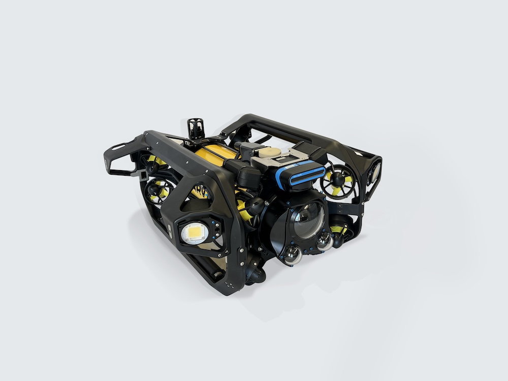
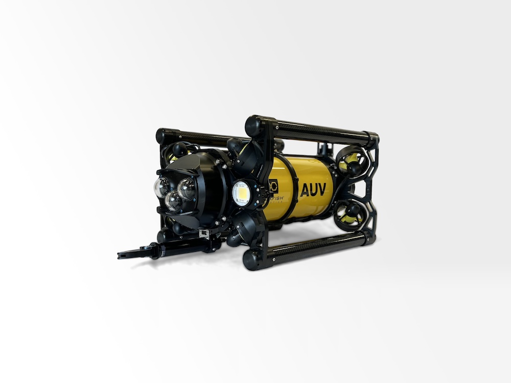
The Boxfish hovering AUV combines DVL-based awareness with stereo camera-based perception to support obstacle avoidance across varying environments and operating conditions.
DVL-based obstacle awareness enables the vehicle to maintain accurate altitude and terrain following relative to the seabed. By continuously measuring distance to the bottom, the AUV can detect rising terrain, walls, rocks, and other unexpected features, adjusting altitude to avoid collision while preserving stable flight.
Stereo camera-based obstacle detection complements this capability by identifying discrete objects within the vehicle’s forward field of view. This approach is particularly useful for vertical or isolated structures, including poles, cables, and subsea infrastructure elements that may not be fully represented through seabed-referenced sensing alone.
Together, these systems allow the Boxfish AUV to respond to both continuous terrain changes and discrete obstacles encountered during autonomous operation.
Obstacle Avoidance During Autonomous Data Collection
The Boxfish AUV platform is designed around repeatable, geo-referenced survey paths conducted at low altitude to support imaging, mapping, and environmental monitoring applications. Within this operating model, obstacle avoidance must do more than prevent collision events. It must also preserve the intent and integrity of the survey.
Rather than aborting missions or making large lateral detours, the Boxfish AUV prioritizes controlled altitude adjustments where possible. This allows the vehicle to remain aligned with the planned transect while adapting to environmental conditions in real time.
Maintaining alignment with planned survey paths helps support continuous spatial coverage, consistent image overlap, and predictable survey geometry, all of which are important for downstream analysis and long-term monitoring programs.
Example from a Survey Operation
During an autonomous transect survey, the Boxfish AUV encountered a submerged vertical road sign positioned directly within its planned path. After detecting the obstacle, the vehicle climbed smoothly over the structure while continuing the transect. The survey continued with minimal disruption, allowing data collection to remain consistent across the area.
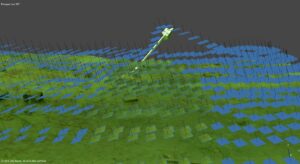
3D model of the lake bed showing the Boxfish AUV climbing over a vertical pole encountered during a grid survey.
Supporting Autonomous Marine Operations
Obstacle avoidance reduces operational risk, but its broader value lies in supporting confidence in autonomous underwater systems. When an AUV can respond safely to unexpected conditions, operators are able to plan more ambitious missions, operate closer to the seabed, and rely on more consistent survey outcomes.
For applications including environmental monitoring, seabed mapping, and infrastructure inspection, these capabilities support:
- Fewer aborted missions
- Reduced operator intervention
- More reliable and repeatable datasets
Obstacle avoidance therefore remains an important capability for enabling practical and scalable autonomous marine operations in real-world environments.