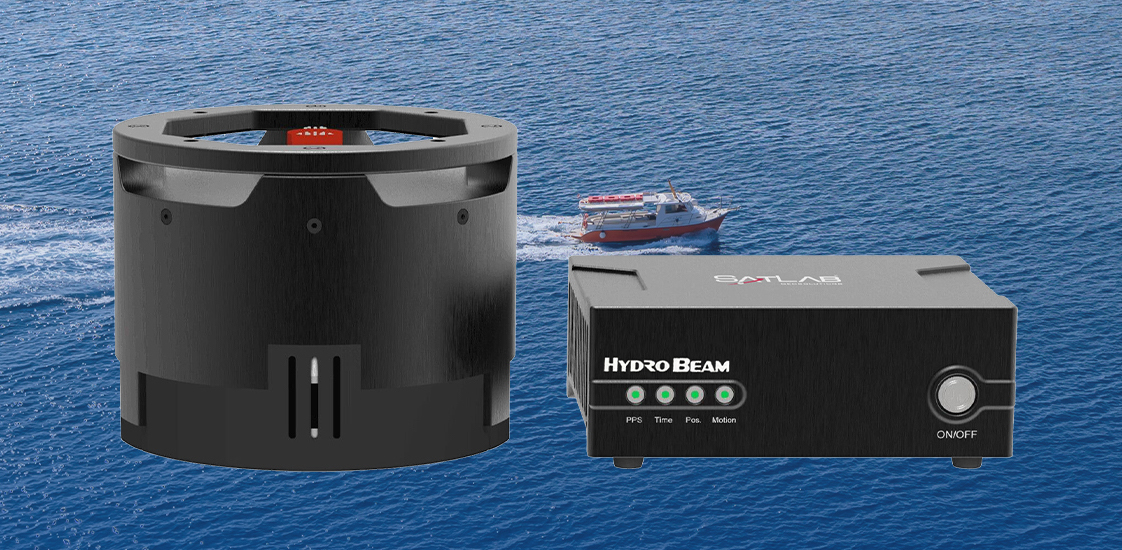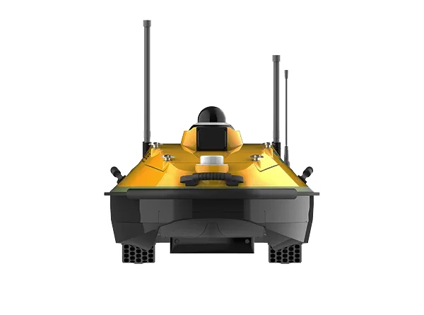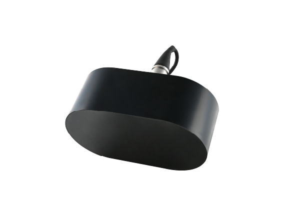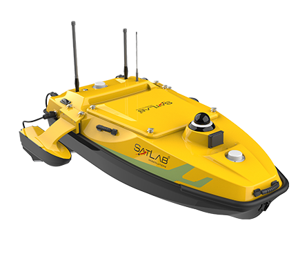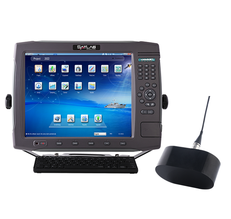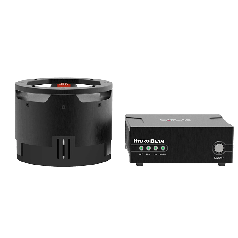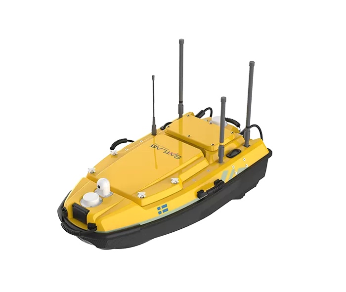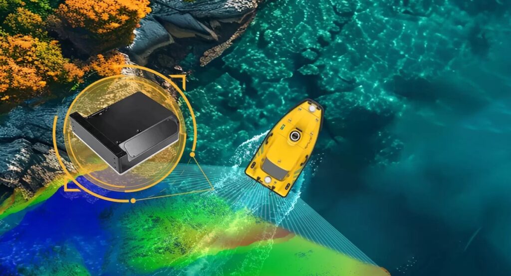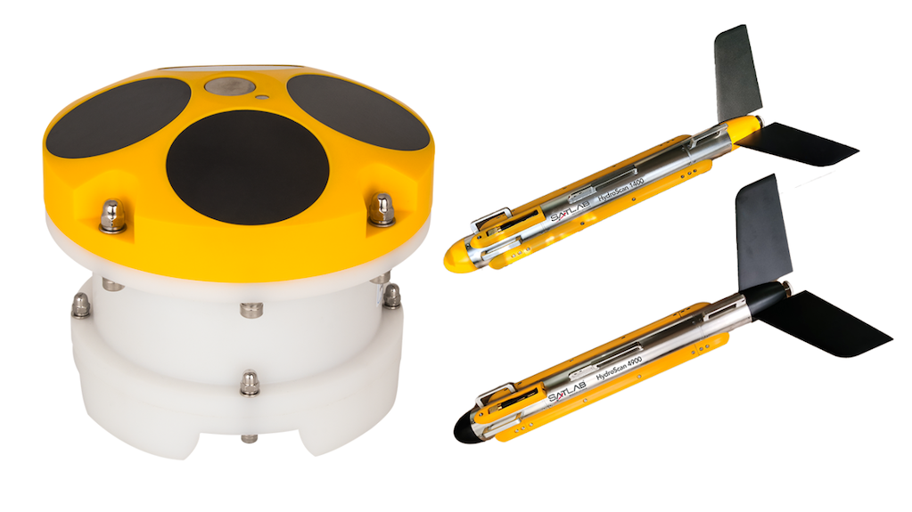
In this video, SatLab Geosolutions introduces its Spin Sound Velocity Inversion Technology, designed to automate sound velocity correction for multi-beam bathymetry and improve survey data accuracy.
The system uses cross-calibration lines in flat survey areas to minimise depth differences between overlapping survey lines, enabling the real-time calculation of sound velocity profiles without the need for manual adjustment. Based on physical ray tracing, the technology accounts for complex changes in sound velocity over time and space, supporting reliable data collection in dynamic marine environments.
Proven in over 60 survey areas worldwide, the solution operates in water depths from 0.2 m to 180 m and accommodates sound velocity variations of up to 45 m/s. By aligning previously mismatched survey data, corrected profiles meet IHO hydrographic standards while reducing operational costs and improving overall data reliability.