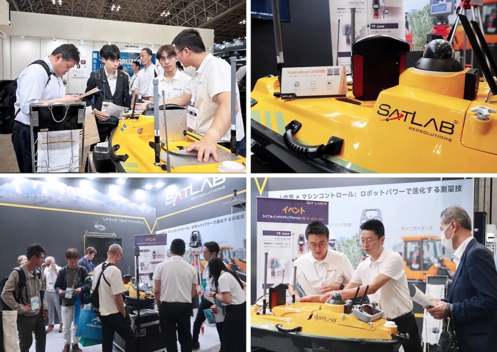
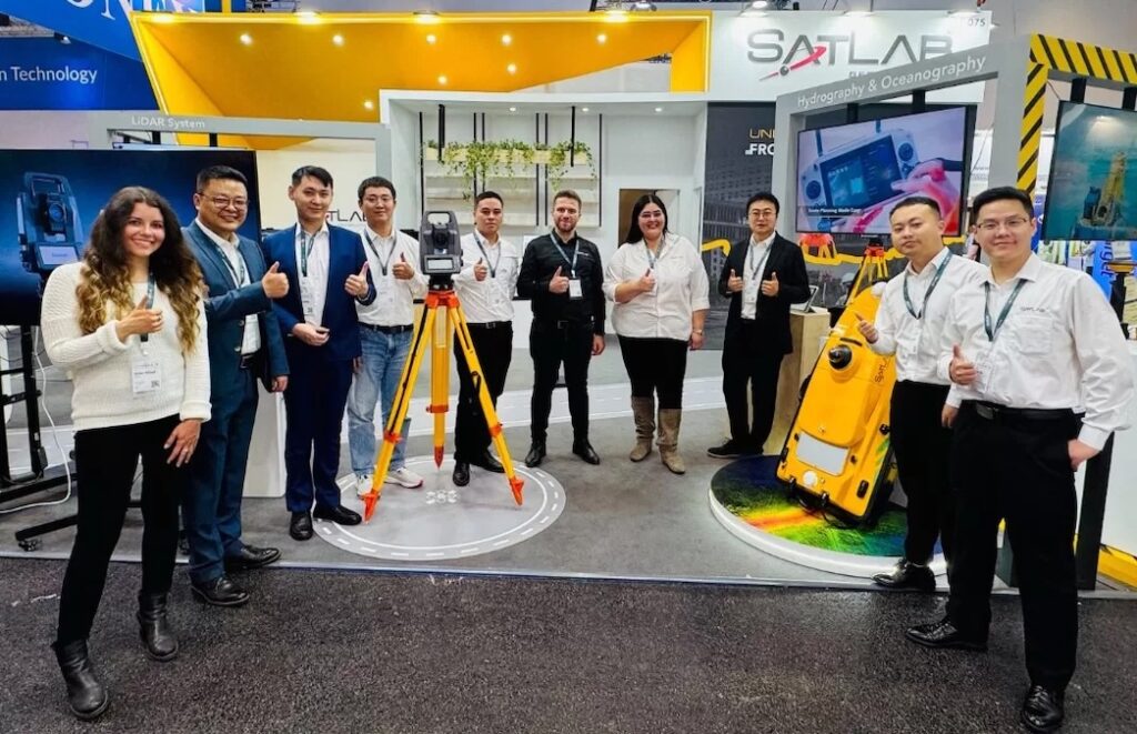
SatLab Geosolutions, a developer of surveying, positioning, and sensing solutions, showcased its end-to-end geospatial technologies, covering surveying, LiDAR, hydrography and oceanography, and machine control, at INTERGEO 2025 in Frankfurt, Germany.
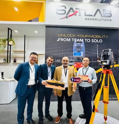
At Hall 12.0, Stand 0F075, SatLab demonstrated how its technologies support professionals across both field and office workflows across the geospatial industry, from outdoor to indoor, terrestrial to aerial, team to solo, and land to water.
The exhibition also highlighted the company’s latest innovations, such as the SL9 SLAM RTK and ART1 Robotic Total Station, underscoring SatLab’s commitment to precision, integration, and mobility across the geospatial industry.
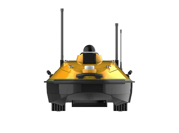
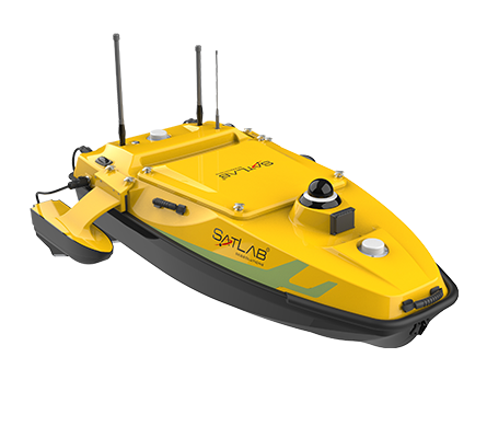
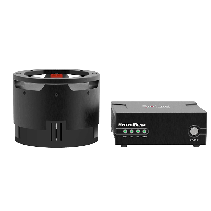
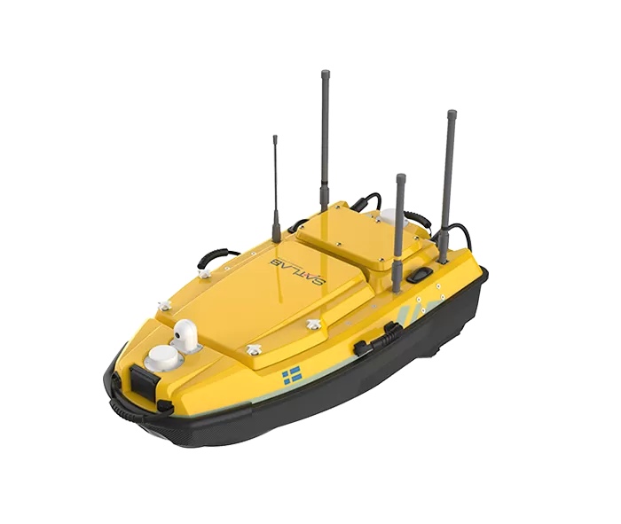
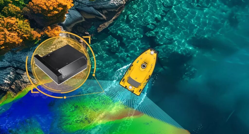
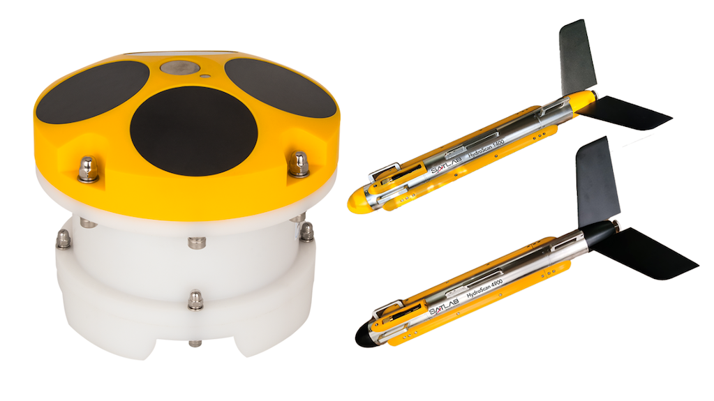
Hands-on demonstrations showed how GNSS RTK and total stations, handheld and UAV LiDAR, the HydroBoat 1200MB USV multibeam solution, and ECS series machine control systems interact to provide a cohesive and high-performance workflow.
The SatLab team engaged with partners, clients, and industry professionals, discussing real-world applications, operational challenges, and collaboration opportunities. These live interactions emphasized the reliability, usability, and versatility of the company’s innovations across diverse scenarios.
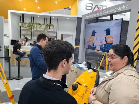
The SatLab team commented, “INTERGEO is a valuable platform to connect with the geospatial community. This year, we demonstrated how our solutions integrate land, air, and sea operations, enabling professionals to achieve more efficient and precise results.”
With an increasingly mature and comprehensive portfolio, SatLab remains committed to advancing mobility and precision across every dimension of the geospatial industry.
The company extends its appreciation to all visitors and partners who joined SatLab at INTERGEO 2025.