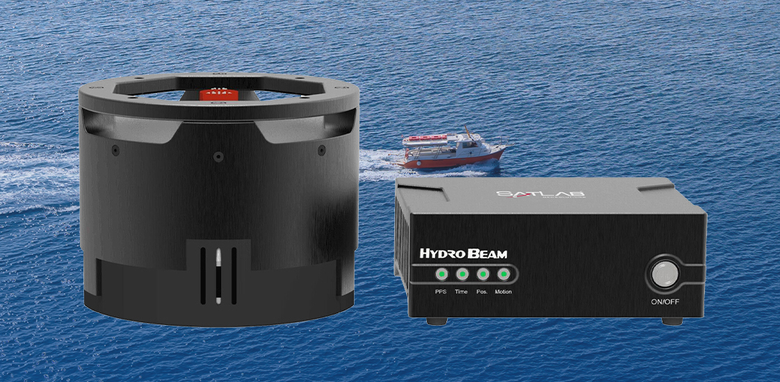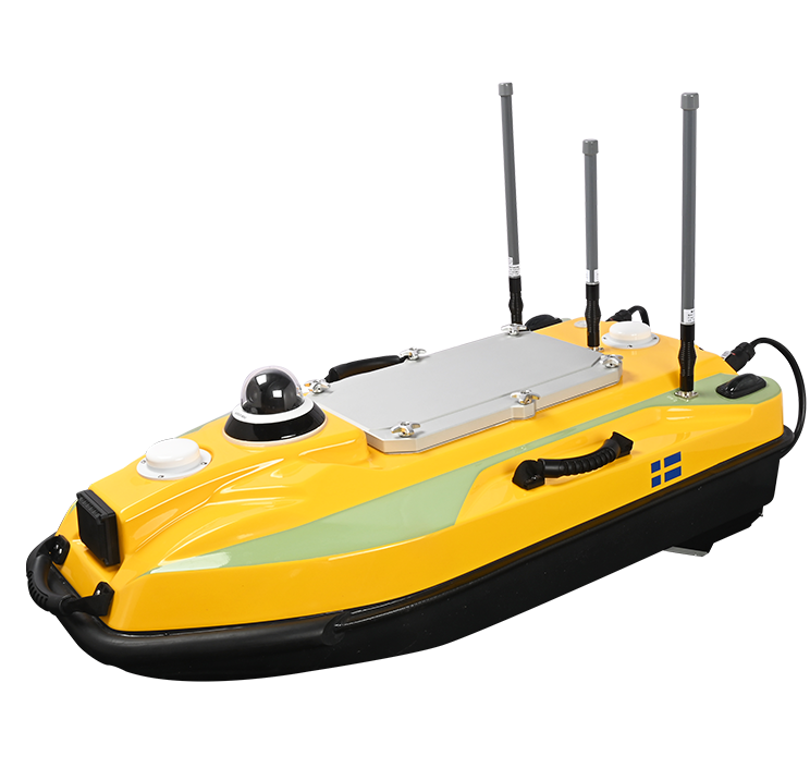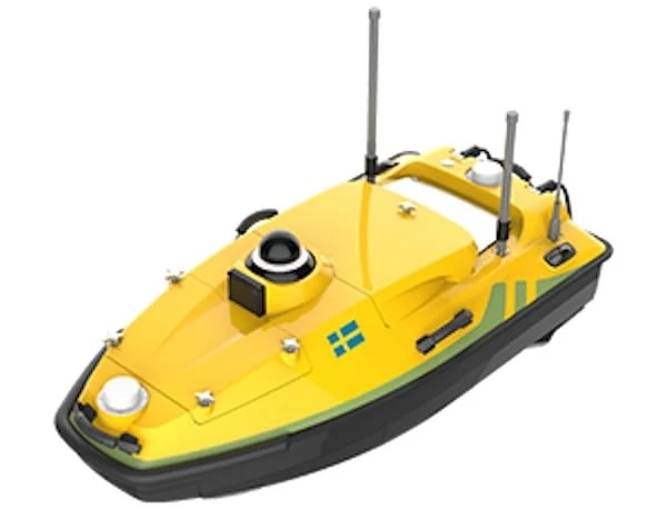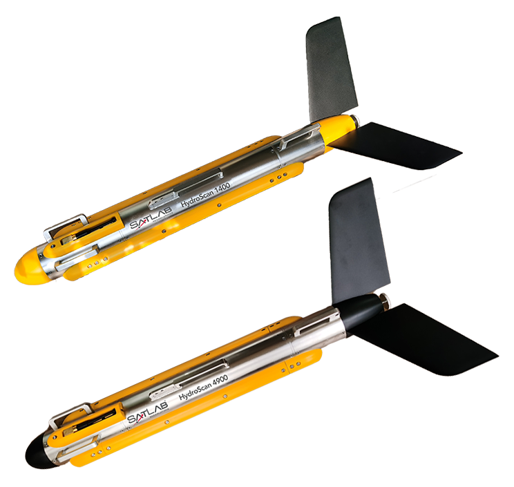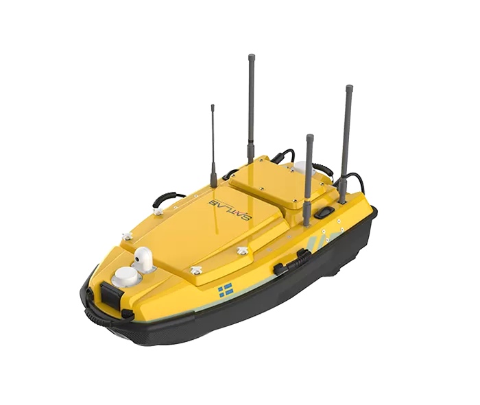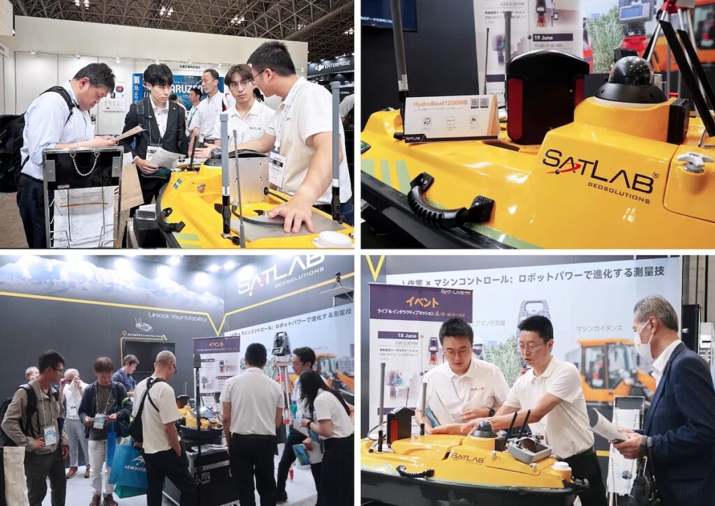
SatLab Geosolutions introduces the HydroBoat 1200MB, a compact, all-in-one solution integrating unmanned surface vehicle (USV) technology with the HydroBeam M2 multibeam echo sounder.
Core Advantages
From survey planning to final deliverables, the system offers an ultra-integrated workflow. The integrated inertial navigation system (INS) provides instant roll, pitch, and yaw precision with zero calibration required.
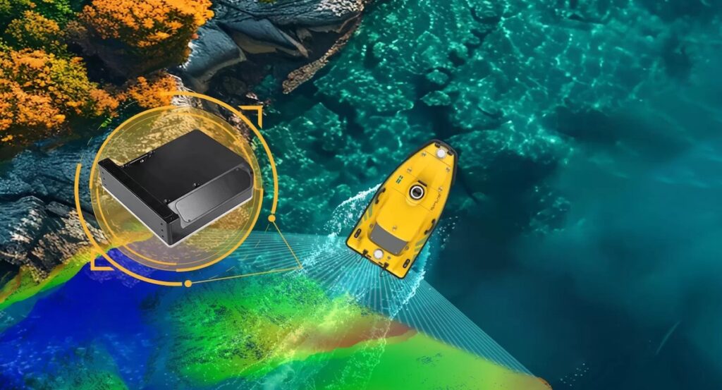
Users can view high-resolution 3D point clouds, bathymetric data, and side scan images live across multiple devices — including tablets, remote controllers, and laptops — for instant quality control and agile field decision-making, eliminating the need for post-processing.
Powered by Sound Speed Profile Inversion (SPIN™), the system ensures precise, real-time sound velocity correction without requiring additional SVP equipment. No on-site assembly or calibration is required, featuring a simple Android-based intuitive control interface with real-time preview—ready to survey in under five minutes.

With 512 beams and 30°–150° swath coverage, the HydroBoat 1200MB surveys up to 7.5× more area than single-beam systems—boosting acquisition speed, operational transitions, and data processing efficiency. All-in-one integration eliminates the need for separate SVPs, boat rentals, or extra crew. Less hardware, less training, and faster project delivery reduce your overall costs.
Designed to carry high-spec multibeam sensors on a streamlined USV platform, the HydroBoat 1200MB delivers precise, high-density data even in shallow or confined waters—meeting IHO, CHS, and USACE standards.
HydroBoat 1200MB Applications
- Rivers and Reservoirs
- Steep or Terraced Bank Mapping
- Vertical Structures and Wall Surveys
- Sediment Transport & Channel Maintenance
- Infrastructure & Environmental Monitoring
The HydroBoat 1200MB is a simpler, smarter solution for underwater geospatial reconnaissance and hydrographic assessment. From rapid deployment to real-time 3D insights, it streamlines the entire hydrographic workflow into one compact, dependable system.