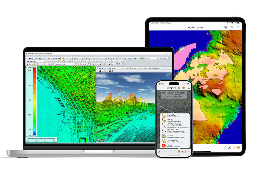

Global Mapper®, developed by Blue Marble Geographics, has long been recognized for its support of over 380 file formats, advanced lidar classification, and renowned technical support. But beyond these headline features, the platform also offers a powerful suite of tools for working with bathymetric data—unlocking new ways to generate, analyze, and visualize the underwater world.
Bathymetry, the study of underwater terrain, is critical to understanding more than 70% of the Earth’s surface hidden beneath oceans, rivers, and lakes. Global Mapper streamlines workflows for bathymetric mapping and analysis across science, engineering, and environmental sectors.
Visualizing the Seafloor
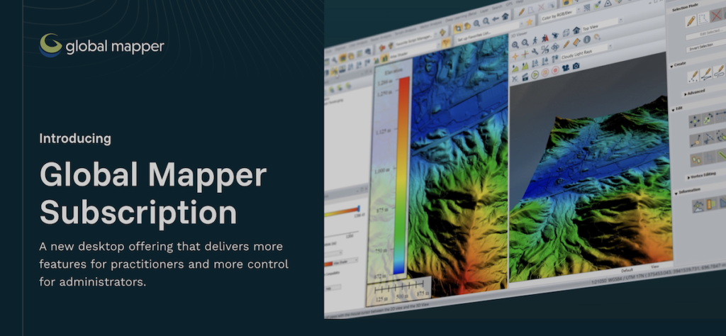
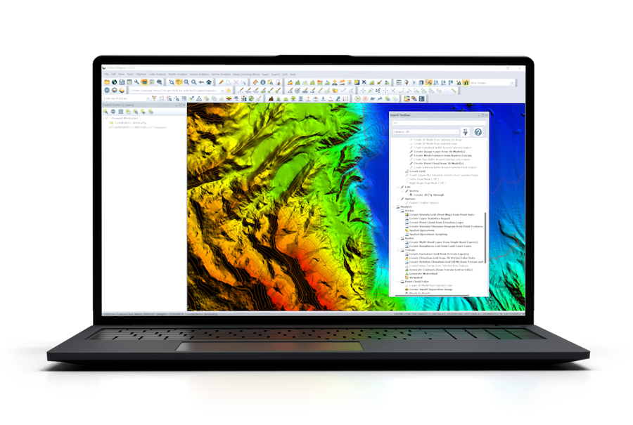 With its wide array of elevation shaders, including slope and Relative Elevation Model (REM), Global Mapper makes it simple to highlight depth variations and reveal subtle submarine features. The 3D Viewer provides an immersive experience, enabling users to navigate seafloor models, run analyses such as water level simulations, and even create walkthrough and flythrough recordings.
Integrating Bathymetric and GIS Data
Combining data from multiple surveys or sensors is often vital in hydrographic projects. Global Mapper facilitates seamless integration through tools for projection alignment, batch processing, cropping, feathering, and layer merging. These capabilities have already been applied in large-scale projects, such as Dr. Robin Beaman’s work at James Cook University in Australia, where hundreds of surveys were merged to create a comprehensive bathytopo model of the nation’s coastline.
From Sonar to Seafloor Models
Sonar data can be transformed into analysis-ready point clouds, automatically classified to separate the seafloor from other structures and noise. Using the Create Elevation Grid tool, detailed seafloor models can then be generated—supporting applications from shipwreck detection to habitat mapping.
Tools for Advanced Analysis
Beyond visualization, Global Mapper’s analysis features allow for precise calculations and modeling. Contouring tools generate accurate underwater terrain lines and iso-height areas. Measurement and volume tools assist in dredging assessments, sediment studies, and construction planning. Flood modeling functions, meanwhile, help simulate flow, accumulation, and sea-level rise when bathymetric data is combined with terrestrial terrain models.
Bathymetric studies can also be enriched with environmental datasets such as temperature, salinity, or gravimetric data, providing a deeper understanding of oceanographic processes.
From point cloud creation to flood modeling, Global Mapper provides researchers, engineers, and decision-makers with the tools to transform raw bathymetric data into actionable insights.
To dive deeper into these workflows and see full details in Exploring the Depths with Bathymetric Data on the Blue Marble Geographics’ website.