


Global Mapper Pro
The Global Mapper Pro software suite further extends the functionality of the base Global Mapper offering with a constantly-expanding array of powerful tools that are ideal for advanced professional marine and offshore applications such as construction, offshore energy, and bathymetric survey. These advanced features perfectly complement and extends the software’s existing capabilities, unlocking new workflows for GIS and point cloud data analysis.
New features available in Global Mapper Pro include:
- Integration with Global Mapper Mobile app (iOS/Android) for field data reference and collection
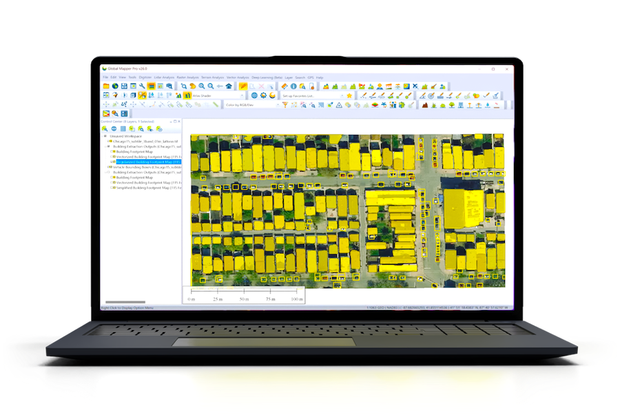
- Deep-learning powered image analysis tools for object detection and terrain classification
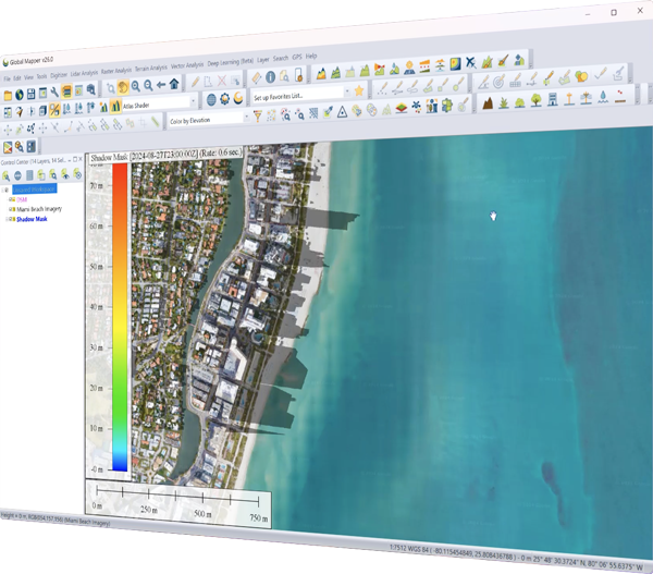
- Solar analysis based on terrain and 3D vector data
- Automatic classification of point cloud data, and vector feature extraction
- Terrain painting
- LiDAR noise identification and removal
- Automatic alignment of overlapping point clouds
- Python scripting integration for enhanced workflow automation
- Support for RTK devices and display of satellite constellation


