Powerful Geospatial Software Solutions for Marine, Coastal and Offshore Mapping & Surveying

United States of America
Blue Marble Geographics

Powerful Geospatial Software Solutions for Marine, Coastal and Offshore Mapping & Surveying

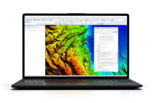
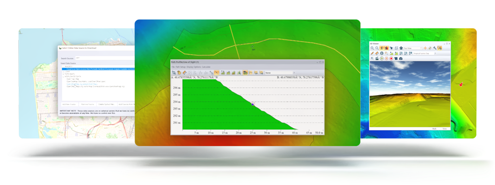
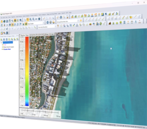
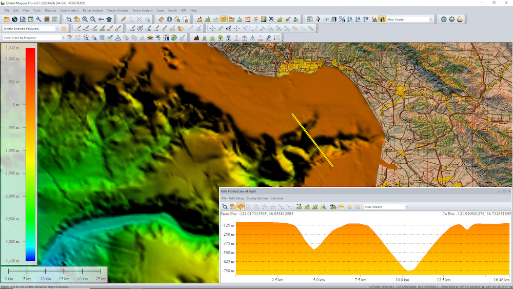
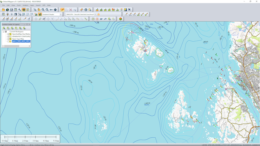
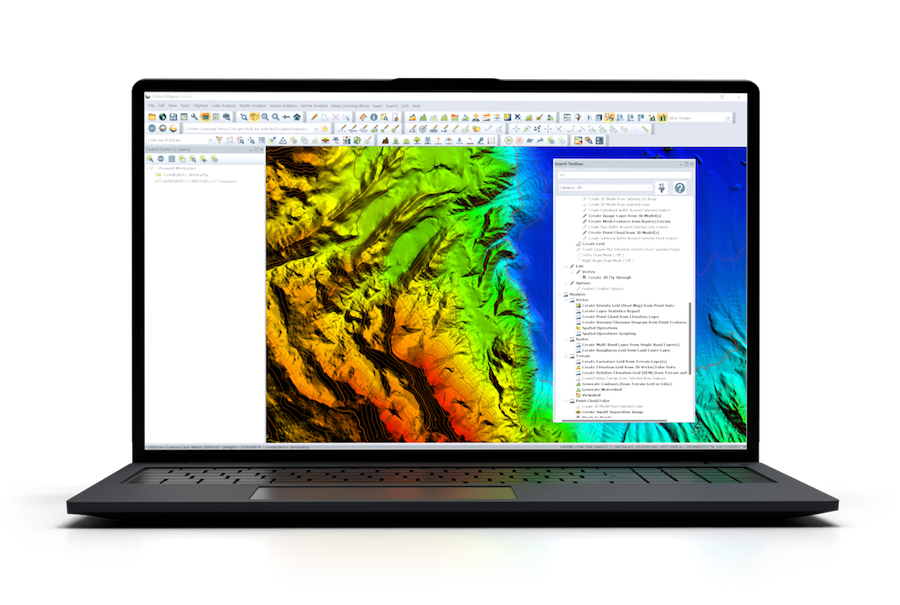
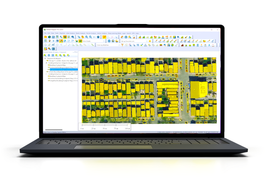
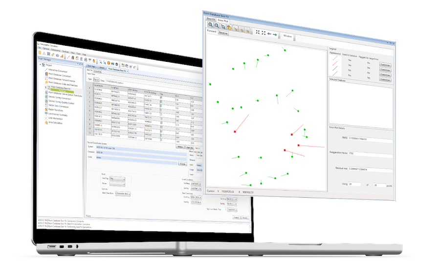
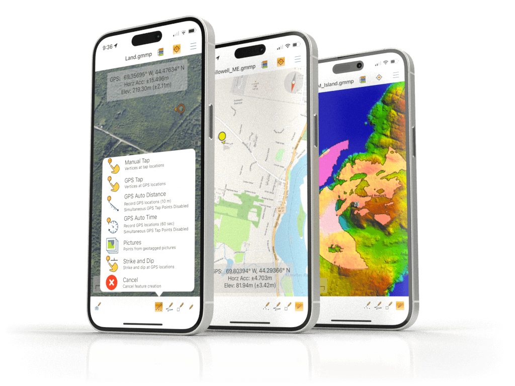
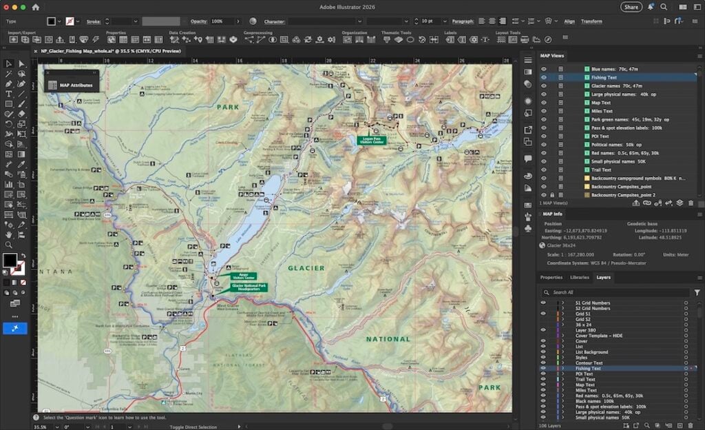
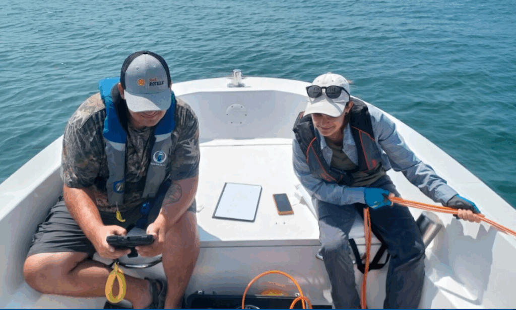
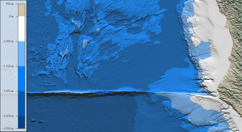
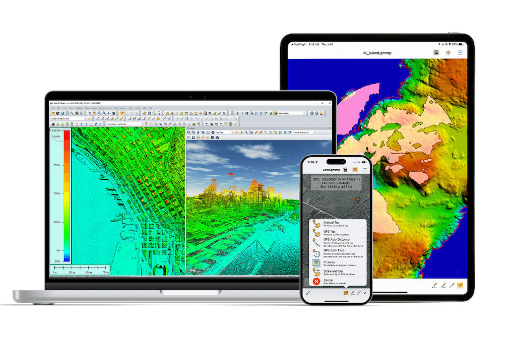
Blue Marble Geographics is a leading developer of versatile and powerful geospatial software solutions for marine, coastal and offshore mapping and surveying. Utilized by a wide range of industry professionals and government agencies around the world, our products are ideal for comprehensive editing and processing of GIS data as well as photogrammetric, LiDAR and bathymetric datasets.

Global Mapper

GIS & data analysis software for marine mapping & bathymetric survey

Global Mapperglobal mapper gis & data analysis software is an industry-leading geospatial software suite designed to be accessible to marine and offshore professionals and novice users alike, offering powerful data analysis and processing capabilities with an intuitive and user-friendly interface. Ideal for organizations of any size, it allows users to get up and running with a smooth learning curve and provides quick and significant return on investment.

Supporting almost 400 different file formats, including raster, vector, and elevation data types, Global Mapper is ideal for comparing and integrating mapping and surveying data from a range of sources and time periods. The Online Data tool also provides access to a variety of streamable data sources including nautical maps, satellite imagery, and bathymetric data.

Global Mapper is also an essential tool for 3D visualization, allowing users to generate and analyze bathymetric terrain models including contour creation for close examination of features and seafloor elevation. Multiple datasets can be easily compared to map changes over time.global mapper geospatial softwareOther advanced features of Global Mapper include:

  • Flexible data sharing through screenshots or any supported geospatial format
  • Support for recording HD 3D fly-through videos for visual exploration
  • Comprehensive digitizer tools for vector data creation
  • Raster Calculator for multi-band imagery such as NDVI and NDWI
  • Reading and writing data from common spatial databases including Esri, MSSQL, MySQL, Oracle, PostGIS/PostgreSQL and SpatiaLite/SQLite
  • Objective Terrain Format (OTF) Reader Module for military mapping

bathymetric data acquisition
Bathymetric Data Acquisition and Navigation
This case study highlights how Global Mapper was utilized in conjunction with multibeam echosounder data and AIS integration to chart an optimal path for an autonomous survey USV operating in the Red Sea.

Global Mapper Pro

Enhanced 2D & 3D data processing & analysis

Global Mapper Pro further extends the functionality of Global Mapper with a constantly-expanding suite of powerful tools that are ideal for advanced professional marine and offshore applications. This comprehensive array of advanced features perfectly complements and extends the software’s existing capabilities, unlocking new workflows for GIS and point cloud data analysis.

Enhanced data processing & analysis

New features available in Global Mapper Pro include:

  • Deep-learning powered image analysis tools for object detection and terrain classification
  • Solar analysis based on terrain and 3D vector data
  • Automatic classification of point cloud data, and vector feature extraction
  • Terrain painting
  • LiDAR noise identification and removal
  • Automatic alignment of overlapping point clouds
  • Python scripting integration for enhanced workflow automation
  • Support for RTK devices and display of satellite constellation

Everything you need in GIS Software – request a Global Mapper demonstration today

Geographic Calculator

Geodetic software for marine surveying data

Geographic CalculatorGeographic Calculator is a powerful geodetic software package that provides accurate coordinate conversion, datum transformation, and file translation. Built upon the largest geodetic parameter database available anywhere, it is an essential tool for marine mapping and surveying applications such as construction, offshore energy, and coastal monitoring.

The intuitive Interactive Conversion feature allows users to select source and destination coordinate systems, enter the coordinates, choose the datum transformation and get results with the click of a button.

Some favorite conversions are even more user friendly with Geographic Calculator Cloud, now available with every current desktop license.

Global Mapper Mobile

Advanced Mobile GIS Application for Oceanic and Coastal Fieldwork

Global Mapper MobileGlobal Mapper Mobile is a cutting-edge iOS and Android application designed to support the seamless visualization, collection, and management of geospatial data in marine and coastal environments. Engineered for professionals in ocean science, this robust tool bridges the gap between the field and the desktop, offering unparalleled GIS capabilities directly on your mobile device.

Applications

Seafloor Mapping & Bathymetric Analysis
With powerful tools for processing and visualizing of bathymetric data, Global Mapper is ideal for seafloor mapping and detailed 3D modelling of underwater terrain. These outputs are essential for safe navigation, construction planning, scientific and environmental research, and more.

seafloor mapping

Coastal Erosion Monitoring
Global Mapper’s easy-to-use change detection capabilities allow users to track shoreline features over time, providing a critical tool for coastal erosion monitoring, construction planning, and marine habitat preservation.

geospatial and bathymetric analysis

Offshore Energy & Construction
Providing advanced geospatial and bathymetric analysis, Global Mapper is used by a variety of offshore energy and construction professionals to assess seabed conditions, plan cable routing, and determine the optimal placement for wind turbines and offshore platforms.

The Surface Under the Water – A Guide to Bathymetric Data in Global Mapper
With the ocean floor represented as a 3D model, all the terrain analysis tools available in Global Mapper can be used to visualize, edit, and analyze the data. Learn more >

Working with Bathymetric Data
On overview of how the various data analysis tools in Global Mapper can be used to generate and analyze bathymetric data. Find out more >

Products

Global Mapper Mobile

Advanced Mobile GIS Application for Oceanic and Coastal Fieldwork

Global Mapper

GIS & data analysis software for marine mapping & bathymetric survey

Global Mapper Pro

Enhanced 2D & 3D data processing & analysis

Geographic Calculator

Geodetic software for marine surveying data

Regional Offices & Locations
Blue Marble Geographics United States of America 22 Carriage Lane, Hallowell, Maine 04347 +1-207-622-4622 Contact Website