Coastal flooding is a growing concern for communities, policymakers, and researchers working to mitigate the effects of rising sea levels and extreme weather events. Blue Marble Geographics examines how visualization tools can enhance the understanding and communication of coastal flooding risks. Read more >>
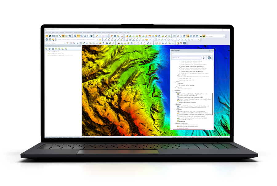
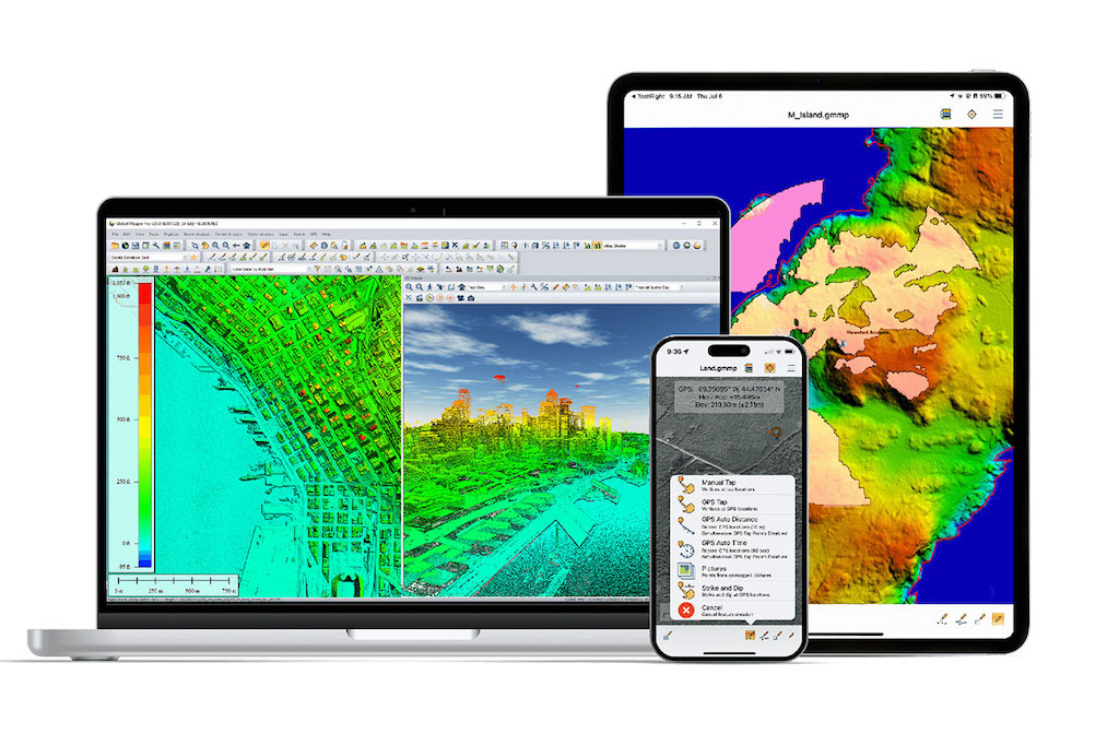
Blue Marble explores the capabilities of Global Mapper Pro, a GIS software that enables users to model and analyze flood scenarios using elevation data and water level projections.
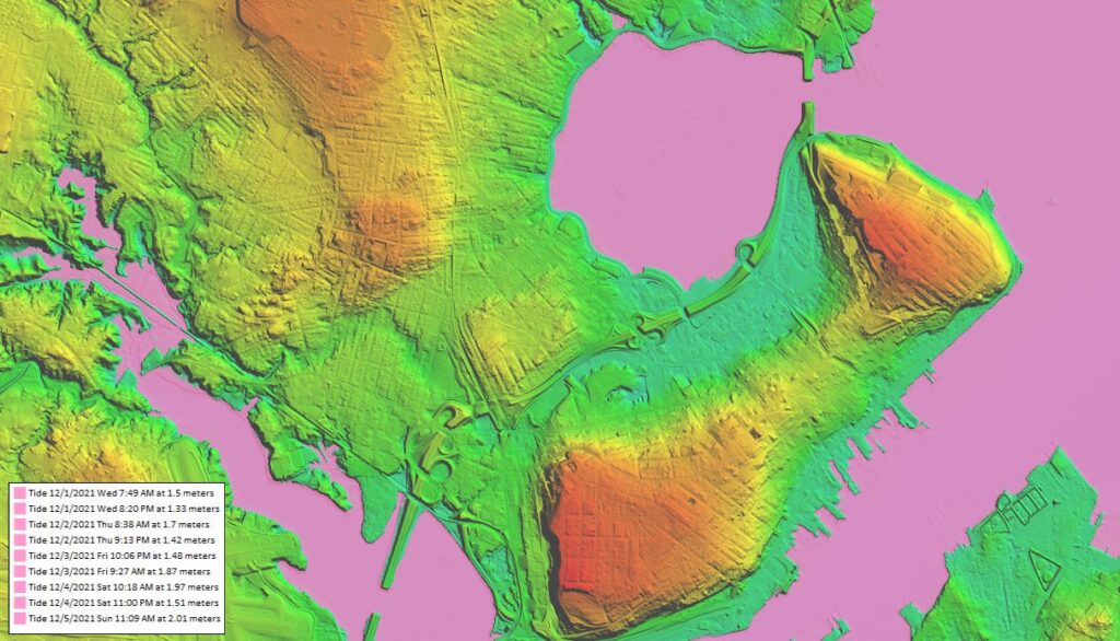
The article provides an overview of how different visualization techniques, including 3D rendering and time-based simulations, can be used to assess potential impacts. It outlines key features within Global Mapper Pro that allow users to create accurate flood models, helping stakeholders make informed decisions about coastal planning and resilience strategies.
By demonstrating these tools in action, the article highlights the role of GIS technology in improving flood preparedness and response efforts.