


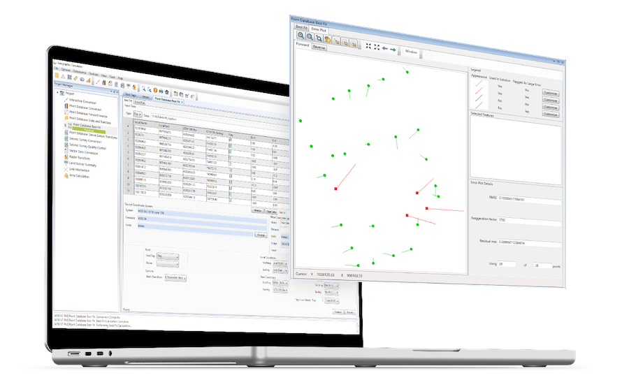
Geographic Calculator
Geographic Calculator is a powerful geodetic software package that provides accurate coordinate conversion, datum transformation, and file translation. Built upon the largest geodetic parameter database available anywhere, it is an essential tool for marine mapping and surveying applications such as construction, offshore energy, and coastal and seismic monitoring.
The intuitive Interactive Conversion feature allows users to select source and destination coordinate systems, enter the coordinates, choose the datum transformation and get results with the click of a button. Other features include:
- Conversion and transformation of tabular numeric coordinates
- Calculation of paths between positions in tabular numeric coordinates
- Coordinate shifting, rotation, and stretching
- Seismic Survey Conversion – access, maintain, and convert SEG, SPS and UKOOA formatted ASCII data
- Raster and vector format support
- Image georeferencing
- Horizontal time-dependent positioning


