


Global Mapper is an industry-leading geospatial software suite designed for a wide variety of marine and offshore applications including construction, oil and gas, coastal and environmental monitoring, and scientific research. Offering powerful data analysis and processing capabilities with an intuitive and user-friendly interface, it is ideal for novice users as well as professional organizations of any size, and provides a smooth learning curve and rapid return on investment.
Supporting almost 400 different file formats, including raster, vector, and elevation data types, the versatile software can import from local files and databases, as well as streamable data sources including nautical maps, satellite imagery, and bathymetric data.
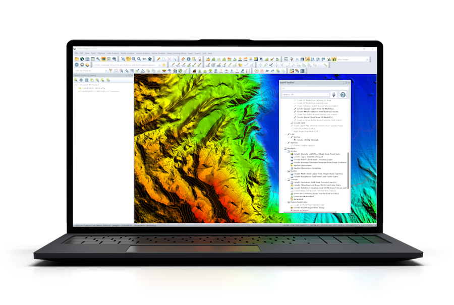
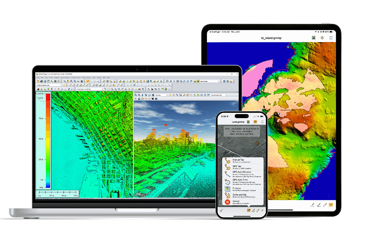
Global Mapper is also an essential tool for 3D visualization, allowing users to generate and analyze bathymetric terrain models including contour creation for close examination of features and seafloor elevation. Multiple datasets can be easily compared to map changes over time.
Other advanced features of Global Mapper include:
- Flexible data sharing through screenshots or any supported geospatial format
- Support for recording HD 3D fly-through videos for visual exploration
- Comprehensive digitizer tools for vector data creation
- Raster Calculator for multi-band imagery such as NDVI and NDWI
- Reading and writing data from common spatial databases including Esri, MSSQL, MySQL, Oracle, PostGIS/PostgreSQL and SpatiaLite/SQLite
- Objective Terrain Format (OTF) Reader Module for military mapping


