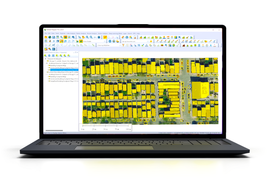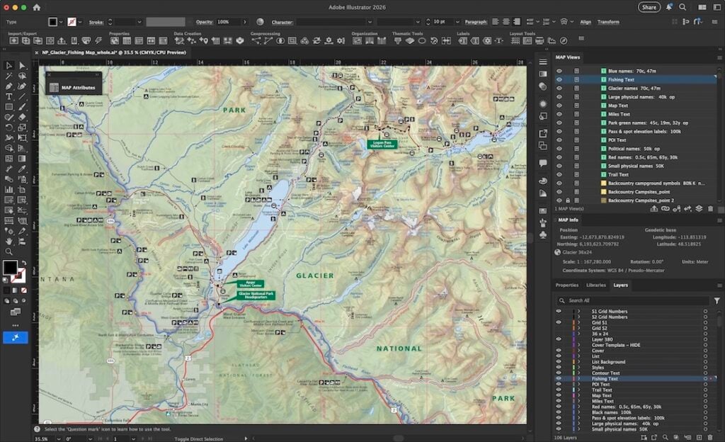
Researchers at James Cook University in Queensland are using geodetic and GIS software from Blue Marble Geographics, specifically Global Mapper® and Geographic Calculator®, to process and integrate complex bathymetric datasets into cohesive bathytopographic models.
This work supports national seabed mapping efforts coordinated by AusSeabed and the Australian Hydrographic Office, contributing to a more complete understanding of Australia’s marine territory.
Use of Global Mapper and Geographic Calculator
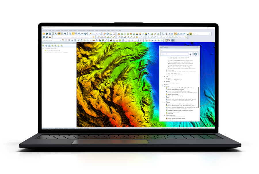
Seabed mapping relies on data collected through various methods, including multibeam and single beam sonar, airborne lidar, and satellite altimetry. These datasets differ in format, resolution, and spatial reference, requiring thorough preprocessing. Dr. Robin Beaman, a marine geologist at James Cook University, leads a team that uses Global Mapper to organize, visualize, and prepare this data. The software’s compatibility with a broad range of file formats allows efficient integration of diverse sources.
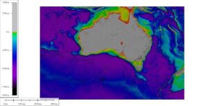
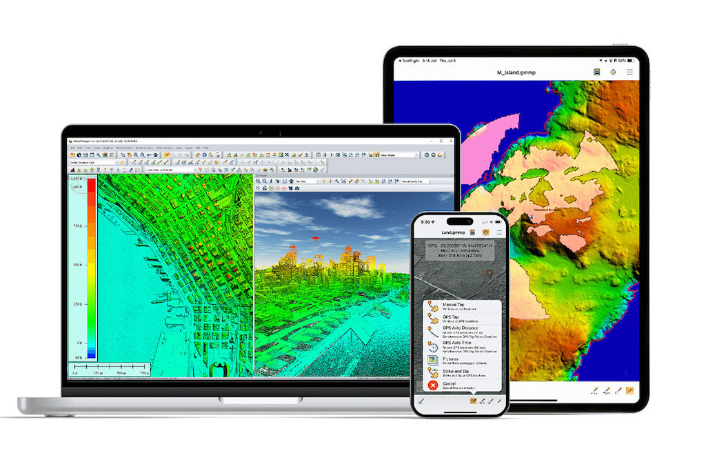
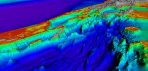
2024 AusBathyTopo Series 250m Displayed in Global Mapper. .
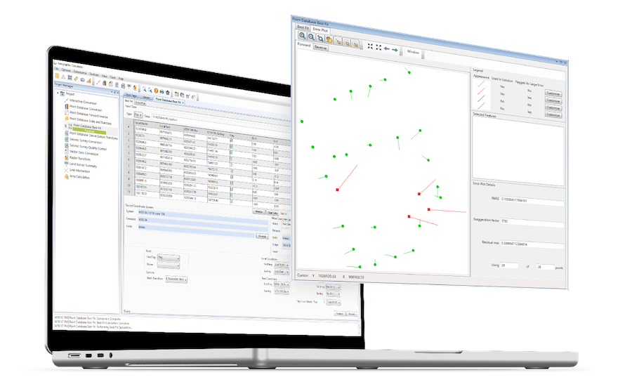
To align spatial data accurately, the team uses GeoCalc® Projection Mode within Global Mapper to transform coordinate systems and ensure both vertical and horizontal datums are consistent. Geographic Calculator is used to streamline this process further, offering batch transformation tools that allow multiple datasets to be converted uniformly. These steps are critical in preparing survey data for integration into reliable 3D bathytopographic models.
Purpose of Bathytopo Models
Bathytopographic models combine land elevation and seafloor depth into continuous 3D surfaces, providing a comprehensive view of coastal and marine terrain. These models support a variety of applications, including infrastructure development (such as marine wind farms), environmental monitoring, marine spatial planning, hazard assessment, and boundary management. In addition, they are valuable tools for researchers studying seabed morphology and marine ecosystems.
Australia’s Exclusive Economic Zone
Australia’s Exclusive Economic Zone (EEZ), defined under the 1982 United Nations Convention on the Law of the Sea, extends 200 nautical miles (370 km) from the coastline. It covers approximately 3.28 million square miles, making it the third largest EEZ globally. The zone grants Australia rights to manage natural resources and conduct scientific research. Accurate mapping of this area plays a key role in sustainable management and national security efforts.
AusSeabed’s Role in Seabed Mapping
AusSeabed, a program led by Geoscience Australia, coordinates national efforts to map the seabed and make the resulting data accessible. One of its primary deliverables is the AusBathyTopo series, seamless regional and national bathytopographic models created by compiling individual bathymetric surveys. These models are made publicly available through the Marine Data Portal.
Currently, approximately 25% of Australia’s EEZ has been surveyed using high-resolution techniques such as swath echosounders and airborne lidar. These methods provide significantly greater detail than traditional singlebeam sonar or satellite-derived data. Ongoing efforts are focused on closing the remaining gaps in seafloor knowledge, particularly in areas where sediment types, habitats, and geomorphology remain poorly understood.
A key principle guiding these efforts is “collect once, use many times,” reflecting a commitment to data sharing and collaboration across government agencies, academia, defense, and commercial sectors.
Data Integration Challenges
Merging surveys collected across thousands of kilometers involves resolving inconsistencies in datums, coordinate systems, and data quality. The James Cook University team examines each dataset’s spatial referencing and aligns it with others to ensure seamless integration. This standardized and preconditioned data forms the basis of accurate 3D digital models of the seafloor and coastline.
Model Outputs and Data Delivery
After processing, bathytopographic models are exported as raster grids. To meet distribution requirements for the AusSeabed Marine Data Portal, these outputs are converted into 32-bit floating point GeoTIFF format using Global Mapper. This format allows end users to select and download specific areas of interest via the portal’s “clip/zip/ship” functionality.
With current licenses for Geographic Calculator and Global Mapper, the team also benefits from access to a comprehensive geodetic library. This includes support for numerous geoids, ellipsoids, and local transformation models, as well as custom coordinate system creation and sharing. These capabilities ensure that the final outputs meet both scientific and operational accuracy standards.