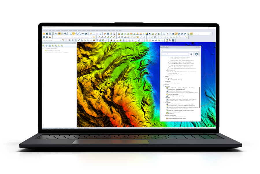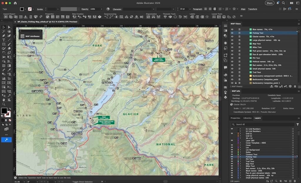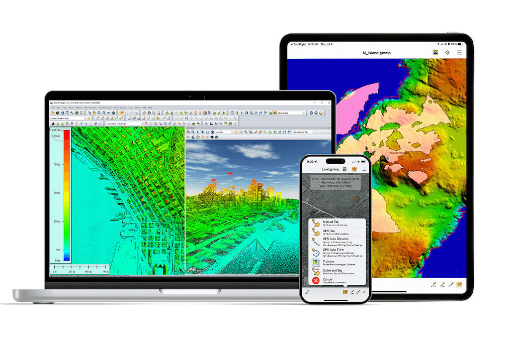
Global Mapper, developed by Blue Marble Geographics, is a valuable tool for viewing and analyzing bathymetric data due to its wide range of supported file formats, georeferencing features, and terrain analysis capabilities.
Bathymetric surveys provide essential data that influence decision-making regarding marine environments. Tomer Ketter of Map the Gaps and SubMerge, along with Sefano M Katz from the Pacific Blue Foundation’s Beqa Lagoon Initiative, participated in an episode of GEOTalks with Blue Marble Geographics.
They discussed insights from a collaborative bathymetric survey conducted in Fiji’s Beqa Lagoon. The well-being of Fiji’s people is closely connected to its land, waters, and diverse ecosystems. Sefano highlighted how accessible bathymetric data supports marine conservation, social equity, and cultural preservation in Fiji.
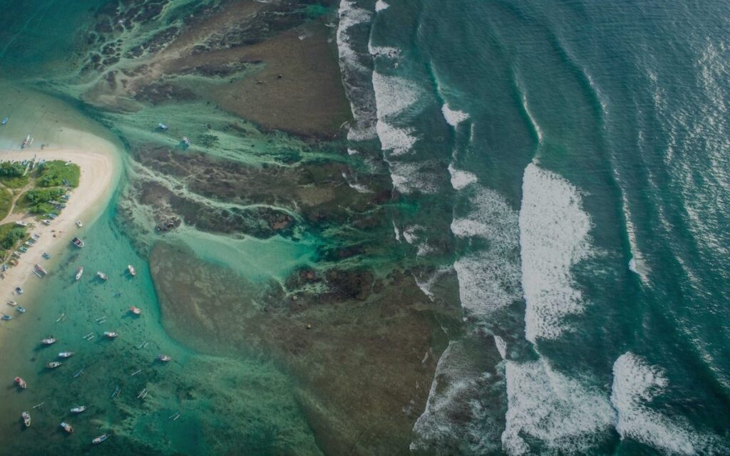
Beqa Lagoon
Fiji, an island nation, is home to diverse ecosystems, dynamic seascapes, and a deeply rooted culture. Beqa Lagoon, which remained largely uncharted before this survey, is a hotspot for biodiversity. While organizing a submersible expedition in the lagoon, Tomer and SubMerge found that the available data was outdated. To ensure the expedition’s safety, the team needed accurate bathymetric data.
Map the Gaps, a nonprofit co-founded by Tomer Ketter, joined the effort to coordinate a bathymetric survey of Beqa Lagoon. The organization advocates for accessible seafloor data, recognizing its importance in marine conservation and social equity.
The team collaborated with Sefano M Katz, Program Director of the Beqa Lagoon Initiative at the Pacific Blue Foundation. Together, they designed a strategy that would support local initiatives and capacity building.
A key aspect of this approach involved sharing the survey results—both bathymetric visualizations and data—with the people of Fiji, including Indigenous communities, local stakeholders, governance entities, and, in particular, the Beqa Lagoon Initiative.
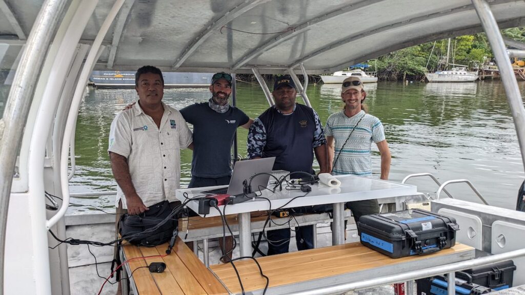
Left to right: Roko Sau Josefa Cinavilakeba (Pacific Blue Foundation), Tomer Ketter (SUB-MERGE/Map the Gaps), Fiji Navy Hydrographer, Sefano Katz (Pacific Blue Foundation)
The Importance of Accessible Data
Blue Marble Geographics examined the significance of accessible bathymetric data in conservation and marine communities. The guests discussed the survey and how the data can contribute positively to socioeconomic and sociocultural developments in Fiji’s land and waters.
Accessible data can enable social equity and strengthen cultural identity. Sefano explained, “In many cases, unfortunately, research teams take data back home, and rarely do communities get to see what was done. One of the Pacific Blue Foundation’s mandates is that whatever is being done in the lagoon — within the waters or lands of the communities — is shared. They are a partner, and they are a part of the decision-making. That is critically important.”
The Beqa Lagoon Initiative takes an inclusive approach in its broad-ranging efforts, considering how various practices affect the lives of those living in Fiji and the surrounding ecosystem.
Sefano M Katz added, “It was important to have this presentation to enable the water community there to ask questions, criticize what we’re doing, and for them to understand what we are aiming to do, as well as what is it that we will be providing them along the way.”