SatLab Geosolutions has developed an integrated inspection workflow that combines unmanned aerial and surface platforms to produce a continuous 3D dataset spanning from the riverbed to the bridge deck.
Using the HydroBoat 1200MB Unmanned Surface Vehicle (USV) together with the Apus-MX LiDAR on the DJI M350 RTK, the system delivers a seamless full-scene model for accurate assessment, enhanced safety, and efficient asset management.
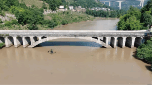
In this case study, SatLab’s UAV–USV solution was used to inspect a large cross-river bridge, addressing the limitations of conventional surveys by capturing precisely aligned data above and below the waterline.
Project Challenges
The bridge featured submerged foundations, narrow channels, shallow wetlands, and elevated superstructures that restricted access for traditional methods.
- Accessibility: Diver surveys and crewed vessels were limited by strong currents, poor visibility, and tight pier spacing.
- Fragmented datasets: Separate above- and below-water surveys often result in incomplete or misaligned models.
- Safety risks: Manual underwater and elevated inspections expose personnel to hazards.
A unified system capable of integrating aerial and underwater measurements was required to achieve complete, accurate, and safe structural assessments.
Integrated Solution
SatLab deployed a synchronized UAV–USV workflow combining LiDAR and sonar data to create a unified survey dataset.
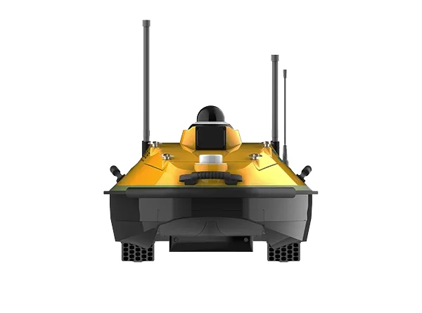
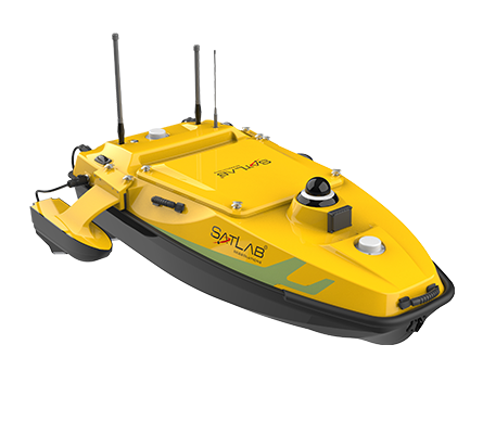
HydroBoat 1200MB – Multibeam USV Solution
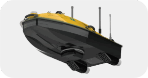
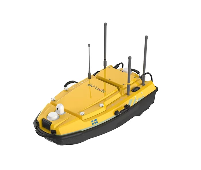
HydroBoat 1200MB
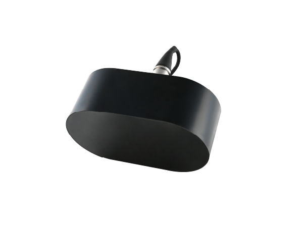
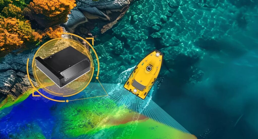
The HydroBoat 1200MB autonomous bathymetric mapping and pier foundation surveys with minimal operator input. It delivers high-resolution underwater data for precise 3D modeling and features obstacle avoidance for safe operation in shallow or confined waters.
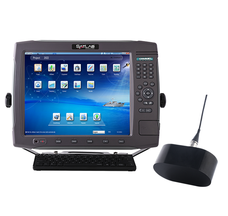
The system maintains accuracy without requiring an SVP, streamlining workflow, reducing costs, and ensuring reliable results even in low-visibility conditions.
DJI M350 RTK + Apus-MX LiDAR – Aerial LiDAR Solution
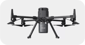
DJI M350 RTK + Apus-MX LiDAR
Mounted on the DJI M350 RTK, the Apus-MX LiDAR captures dense 3D point clouds of bridge decks, soffits, and terrain. It detects fine structural defects such as cracks and corrosion, while agile flight paths enable complete coverage without blind spots. Rapid, high-precision data capture supports efficient inspection of large or complex structures.
SLHydroBeam Processing Software – Data Integration Platform
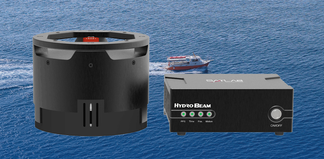
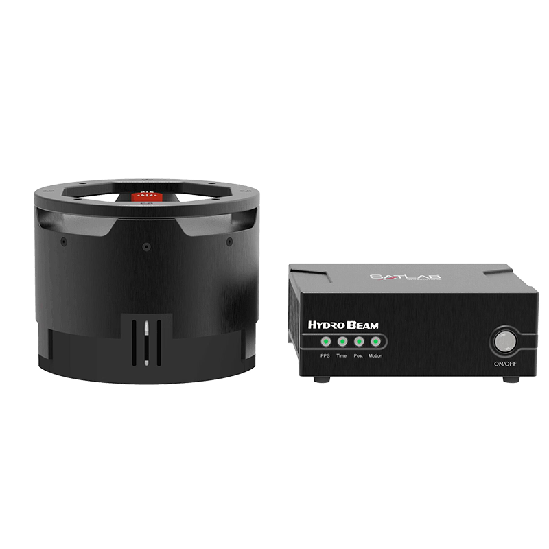
SLHydroBeam integrates LiDAR and sonar datasets into a unified processing environment, automating 3D modeling, defect detection, and reporting. Its analytical tools support condition assessment and visualization from riverbed to superstructure, generating a detailed digital twin for continuous monitoring and predictive maintenance.
By synchronizing aerial and surface operations, SatLab’s system achieves seamless above- and below-water data fusion, ensuring consistent, comprehensive results across all structural elements.
Operational Workflow
- Mission Planning: Routes and flight paths were designed from site data, aligning coordinate systems and control points.
- Data Acquisition: The USV conducted sonar passes along pier axes while the UAV simultaneously performed LiDAR sweeps over decks and soffits.
- Verification: Real-time monitoring ensured full coverage and positional accuracy.
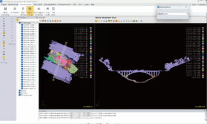
- Data Processing: Multibeam data were corrected and filtered, LiDAR data were calibrated and registered, and both were merged into a continuous 3D model from superstructure to substructure.
Deliverables
The survey produced a high-resolution 3D digital twin integrating sonar and LiDAR datasets into a single model. The output included scour depth, pier geometry, crack distribution, and clearance profiles, providing a detailed dataset ready for structural assessment and analysis.
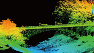
3D Point Cloud of Bridge and Riverbed
Key Benefits
- Full-Scene Coverage: Complete inspection from riverbed to bridge deck with no data gaps.
- Improved Efficiency and Safety: Reduced inspection time and minimized human exposure.
- Actionable Digital Twin: Enables ongoing monitoring, lifecycle assessment, and predictive maintenance.
Conclusion
By combining UAV LiDAR and USV multibeam sonar, SatLab has demonstrated a comprehensive and efficient method for full-structure bridge inspection. The integrated workflow delivers reliable, decision-ready data to support safer and more informed infrastructure management, providing a scalable model for future bridge and waterway monitoring projects.