applied acoustics, a developer of subsea and marine navigation, positioning and survey solutions, outlines how its technologies support offshore energy site assessment and development planning. Read more >>
Selecting suitable locations for offshore wind development presents a range of environmental challenges, requiring accurate and reliable data before construction can begin. To address this, hydrographic and geophysical surveys are carried out to determine site suitability, forming a critical step in offshore project planning.
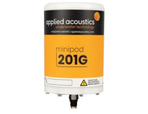
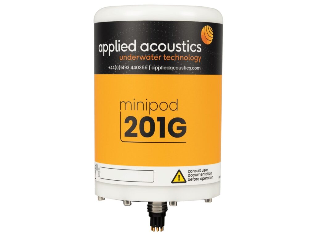
MiniPods Submersible GNSS receivers and satellite transceivers.
applied acoustics provides a range of marine surveying systems designed to meet the specific requirements of offshore wind operators. These systems deliver higher-resolution data at faster survey speeds, supporting efficient and informed decision-making during the early stages of development.
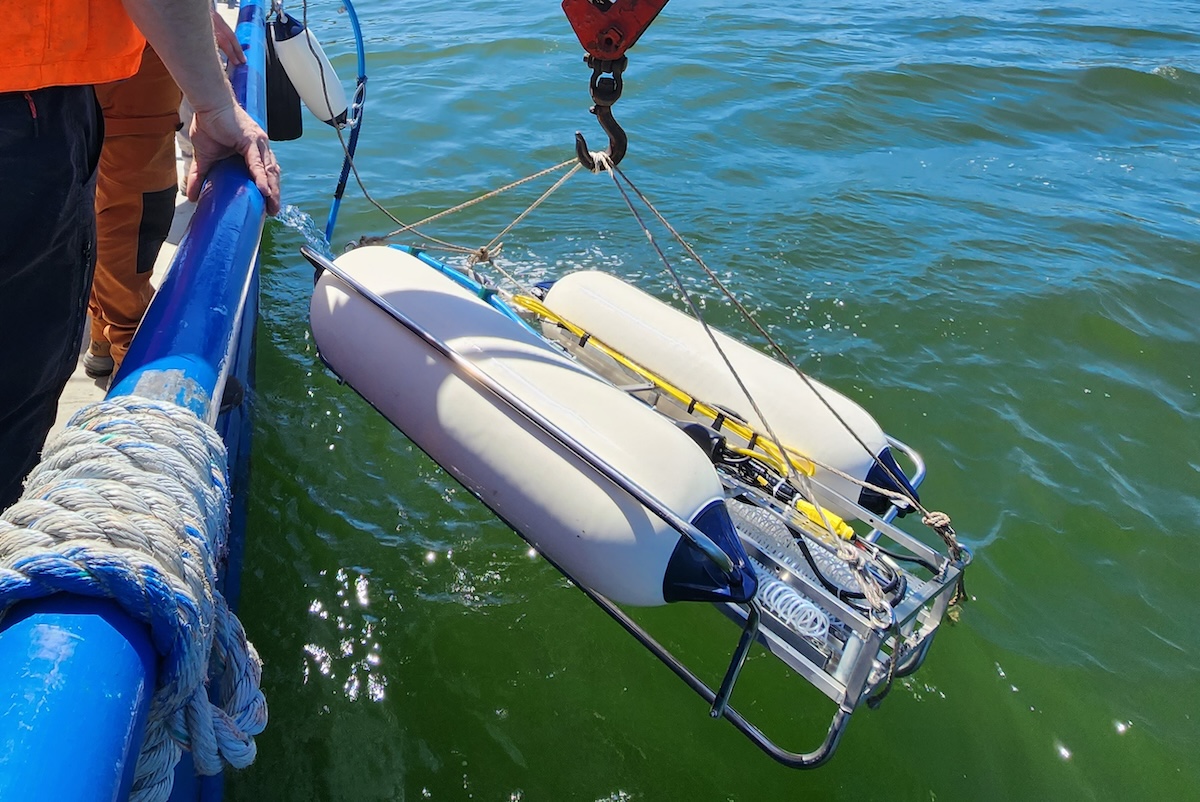
Sub-bottom data collected using seismic survey equipment enables detailed understanding of subsea conditions, while MiniPod submersible GNSS antennas provide precise above-water positioning.
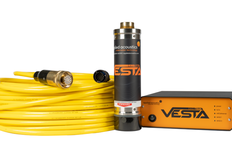
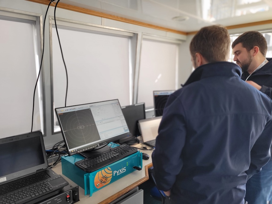
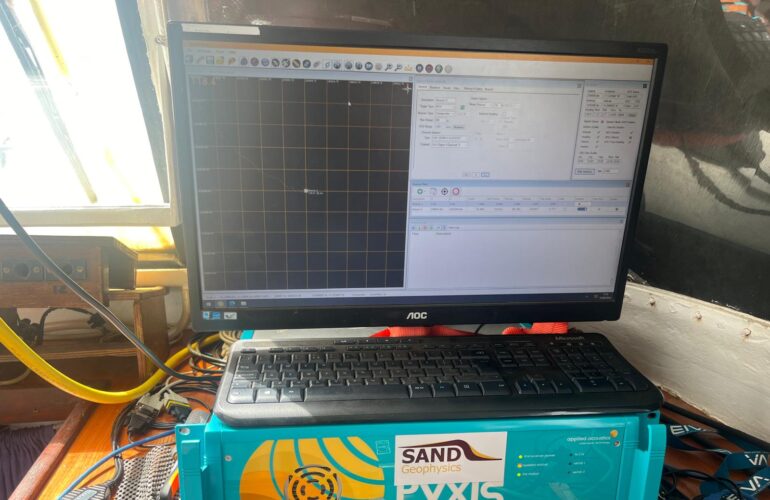
The company’s Pyxis INS + USBL and Nexus 2 systems utilize a secure acoustic link with very low susceptibility to interference, offering MiQ bi-directional data telemetry, Multi-Fire common interrogate capability and Sigma 2 digital spread spectrum transmissions. When used alongside positioning beacons, these systems deliver accurate results across a wide range of operating environments, from extremely shallow waters through to long-range applications in deep water.

Offshore survey technologies in practice
applied acoustics’ offshore survey technologies are being used in real-world hydrographic and geophysical projects. In one case study, SEP Hydrographic used the Pyxis INS + USBL system to remove the need for traditional seabed beacon calibration, helping save an average of one mobilisation day while improving safety and achieving sub-meter side scan sonar positioning accuracy.
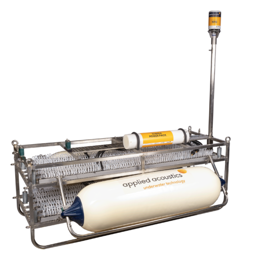
In another, T.T. Surveys used applied acoustics’ sparker and MiniPod technologies to support ultra high-resolution offshore survey work, enabling seabed mapping to a vertical resolution of less than 30 cm for offshore engineering and wind survey applications.
Additional information can be found on the applied acoustic Offshore Energy page.