Showcase your capabilities
If you design, build or supply Bathymetric Survey USVs, create a profile to showcase your capabilities and connect with visitors who have an active requirement for your solutions.


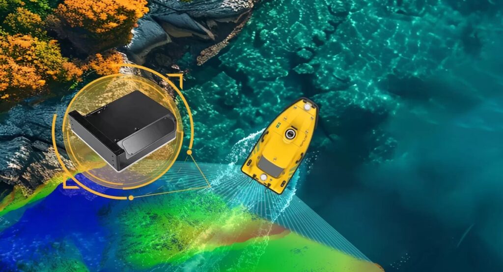
Bathymetric survey USVs are purpose-built unmanned surface vessels used to collect accurate water depth and seabed morphology data in coastal, inland, and nearshore offshore environments. These platforms are designed to carry acoustic depth measurement payloads and operate with precise navigation and control, enabling efficient bathymetric data acquisition in shallow, constrained, or operationally sensitive waters.
Read the Technology Overview
Innovative Uncrewed & Autonomous Surface Vessel Technologies for Maritime Operations
Cutting-Edge Surveying, Positioning & Sensing Solutions for Hydrographic & Oceanographic Applications
Reliable Solar-Powered USVs for Real-Time Oceanographic & Maritime Data Acquisition
Robotic & Remote-Controlled Solutions for Waste Collection, Rescue Operations, & Aquatic Data Collection
If you design, build or supply Bathymetric Survey USVs, create a profile to showcase your capabilities and connect with visitors who have an active requirement for your solutions.

Bathymetric survey USVs are specialized unmanned surface vessels designed specifically for measuring water depth and seabed topography. Within ocean science and technology programs, these platforms are used where accurate depth data is the primary survey objective, particularly in shallow, constrained, or operationally sensitive environments. Their compact form factor, electric propulsion, and autonomous control capabilities allow consistent survey execution with reduced logistical overhead compared to crewed vessels.

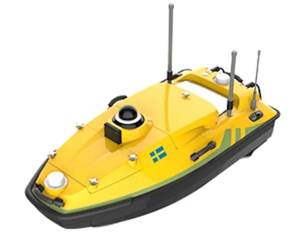
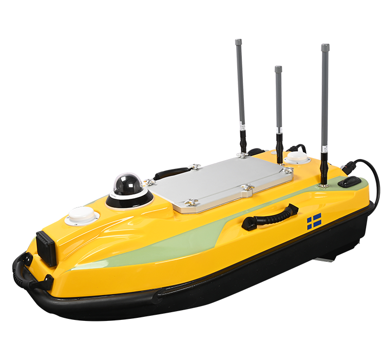
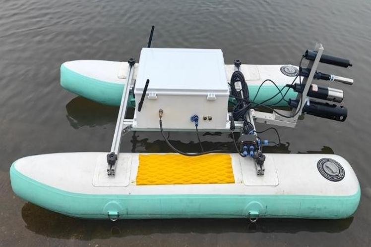
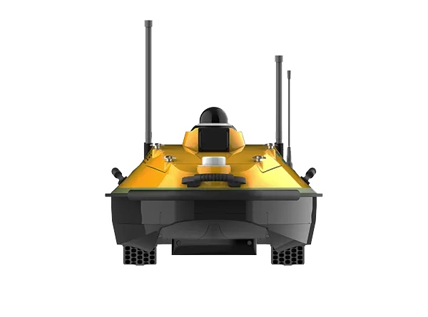
HydroBoat 1200MB USV by SatLab Geosolutions
Unlike general-purpose surface platforms, USVs optimized for bathymetric surveying prioritize stable sensor mounting, precise positioning, and repeatable track control. Typical configurations support single-beam or multibeam echosounders, integrated with GNSS/GPS, inertial sensors, and onboard computing for synchronized data acquisition. This makes bathymetric survey USVs well-suited for routine depth surveys, monitoring applications, and repeat mapping campaigns.
Modern bathymetric USVs may also incorporate autonomous navigation systems and onboard computers that manage mission planning, survey line execution, and real-time data logging during bathymetric mapping operations.
USVs collect high-resolution depth data in shallow coastal waters where low draft and precise maneuvering are essential.
Bathymetric USVs support depth surveys in rivers, canals, and lakes with minimal disruption and consistent line keeping. They are commonly deployed for river surveys and inland waterway surveys where compact bathymetric USVs can operate efficiently in narrow channels and shallow environments.
Compact platforms are used for routine bathymetric monitoring of harbors, berths, and navigation channels.
Repeated bathymetric surveys quantify seabed changes before and after dredging or sediment-movement events.
Nearshore offshore sites, such as wind farm cable routes, rely on bathymetric USVs for shallow-water seabed mapping.
Bathymetric survey USVs are frequently used during offshore wind surveys and cable route surveys to generate accurate bathymetry data for infrastructure planning and installation.

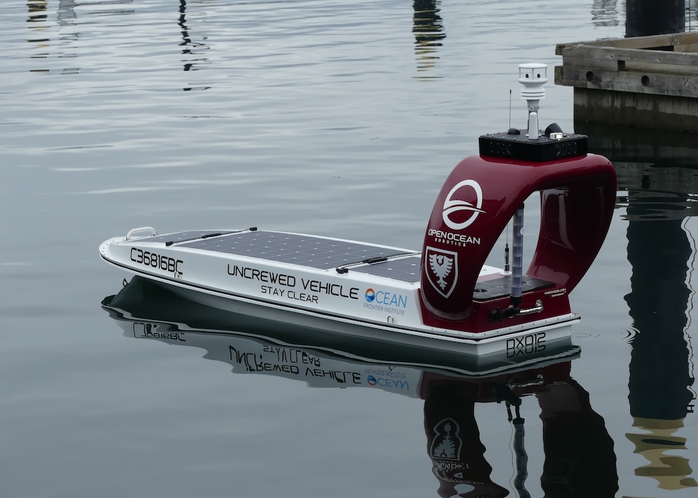
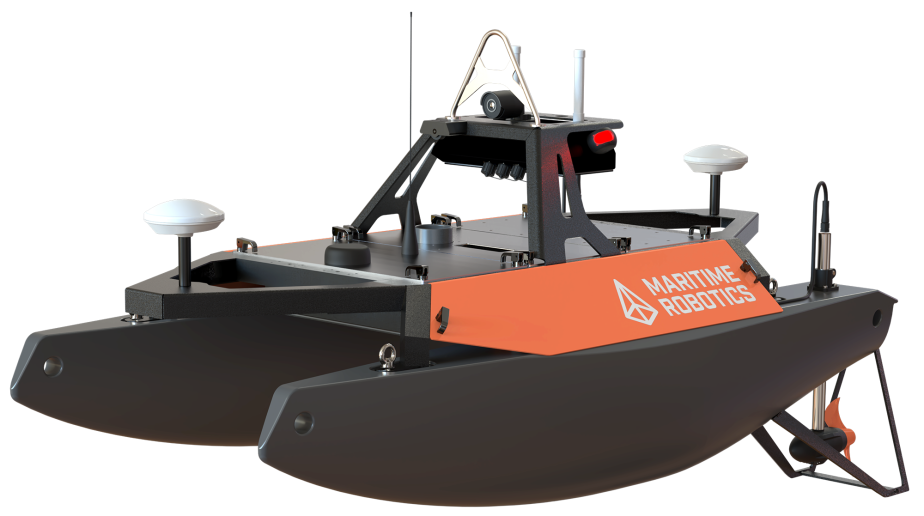
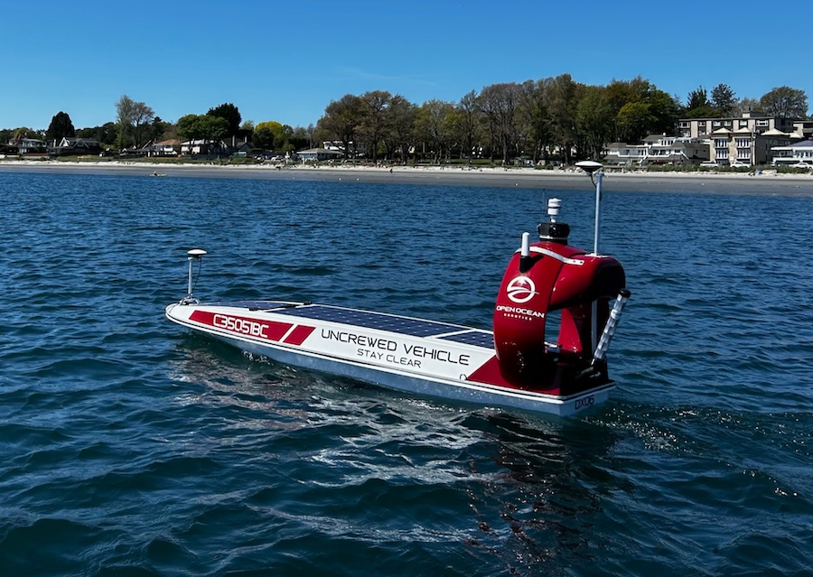
DataXplorer™ Survey by Open Ocean Robotics
Designed for straightforward depth measurement tasks, these platforms offer efficient solutions for basic bathymetric surveys.
These USVs support high-density seabed mapping and require enhanced motion control, navigation accuracy, and payload stability.
Modular designs enable rapid integration of diverse acoustic sensors and navigation packages for a range of bathymetric missions.
Optimized for extended operations, these platforms focus on efficient propulsion and power management for large-area surveys.
For bathymetric-only missions, USVs offer clear advantages over crewed vessels. They reduce personnel risk, operate effectively in very shallow water, and enable higher survey frequency at lower cost. Autonomous navigation systems maintain consistent speed and track spacing, improving repeatability of depth data.
Crewed vessels may still be preferred where multi-disciplinary hydrographic data is required or where regulatory constraints limit autonomous operations. However, for depth-focused surveys, USVs offer a scalable, operationally efficient alternative.
Bathymetry and hydrography USVs are closely related but used in distinct disciplines, and this distinction is critical when defining the scope of a USV mission. Bathymetry focuses specifically on measuring water depth and the shape of the seabed. Bathymetric surveys focus on depth values, contours, and seabed morphology, often as standalone datasets or as inputs to engineering, environmental, or navigation projects.
Hydrography is broader in scope and typically includes bathymetry, along with additional measurements such as tides, currents, water levels, seabed characterization, and navigational feature identification. Hydrographic surveys often support charting, regulatory compliance, and safety of navigation, requiring a wider sensor suite and more complex operational frameworks.
Bathymetric survey USVs are therefore optimized for depth-centric missions rather than full hydrographic campaigns. They emphasize efficient depth data collection, high spatial resolution, and repeatability, without the expanded payload and procedural requirements associated with comprehensive hydrographic surveying.
Accurate bathymetric surveying depends on tight integration between acoustic sensors, navigation systems, and onboard computing. GNSS and inertial sensors provide positioning and attitude data essential for depth correction, while sound velocity sensors compensate for acoustic propagation effects. Payload placement, hull geometry, and vibration control are engineered to protect data quality during survey operations.
Survey software compatibility is also a key consideration, ensuring bathymetric data can be processed within established seabed mapping and analysis workflows
 Searching Companies & Products


 Subscribe to the Weekly eBrief
The latest engineering and technical developments straight to your inbox - join thousands of engineers who receive it.
Subscribe to the Weekly eBrief
The latest engineering and technical developments straight to your inbox - join thousands of engineers who receive it.