



Showcase your capabilities
If you design, build or supply AUV/ROV Sonar, create a profile to showcase your capabilities and connect with visitors who have an active requirement for your solutions.


AUV and ROV sonar systems are acoustic sensing solutions that use transmitted pulses and returning echoes to detect objects, measure range, image structures, and map the seabed. These systems support navigation, obstacle avoidance, infrastructure inspection, search and recovery, bathymetric surveying, and environmental monitoring in low-visibility water.
This category features ROV sonar manufacturers and AUV sonar suppliers, providing configurations including imaging, multibeam, forward-looking, profiling, and side-scan sonar.
Read the Technology Overview
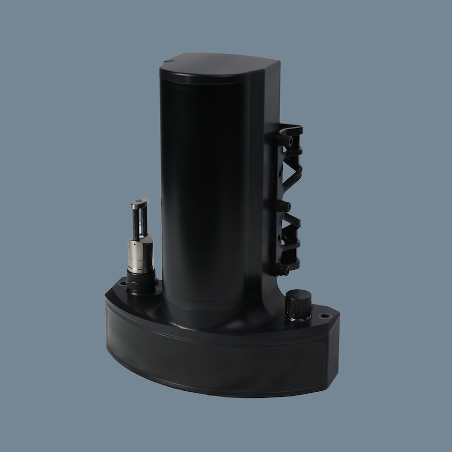
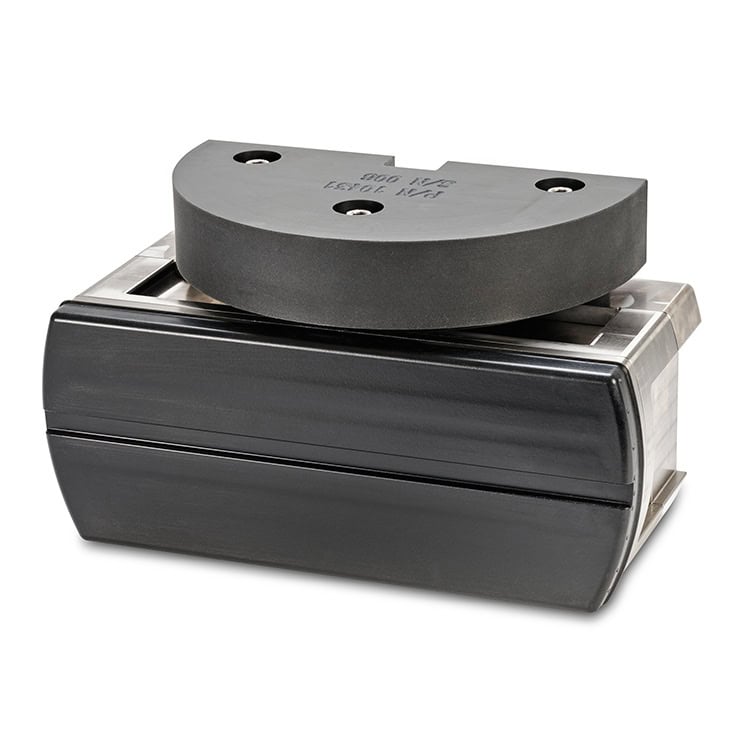
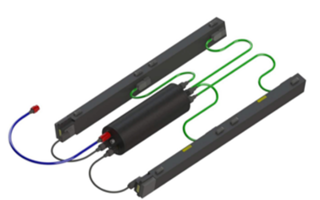
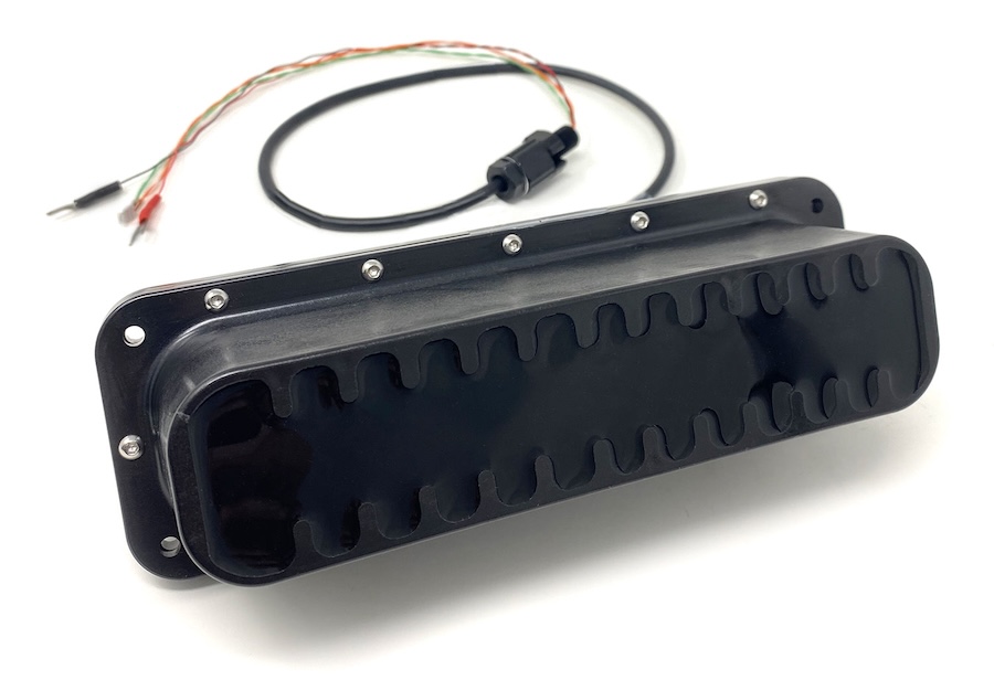
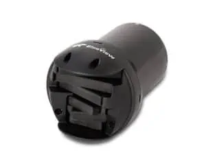
High-Performance Instruments, Sensors & Technologies for Exploring & Monitoring Subsea Environments

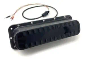
Cutting-Edge Underwater Imaging & Positioning Solutions for Subsea Exploration

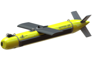
Industry-Leading Underwater Imaging and Power Solutions for Demanding Professional Survey Applications

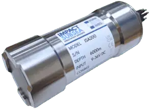
Innovative, High-Performance Underwater Sensing Technologies for the Marine Industry

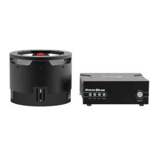
Cutting-Edge Surveying, Positioning & Sensing Solutions for Hydrographic & Oceanographic Applications

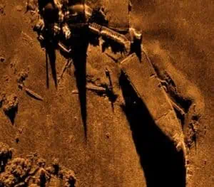
Advanced Sonar Systems for Underwater Detection, Imaging & Navigation

If you design, build or supply AUV/ROV Sonar, create a profile to showcase your capabilities and connect with visitors who have an active requirement for your solutions.

Autonomous Underwater Vehicle (AUV) and Remotely Operated Vehicle (ROV) sonar systems use transmitted acoustic pulses and returning echoes to detect objects, measure range, image structures, and map the seabed. Unlike optical cameras, sonar does not depend on ambient light and can continue operating when suspended sediment, biological material, or disturbed seabed conditions reduce underwater visibility.
Modern ROV sonars range from compact piloting sensors to survey-grade instruments capable of generating bathymetry, acoustic imagery, and subsurface profiles. The most appropriate system depends on the vehicle, operating environment, required coverage, target dimensions, and whether the mission prioritizes real-time control, inspection detail, or georeferenced survey data.
Different sonar architectures produce different forms of acoustic information. Selecting the right type requires balancing range, resolution, field of view, update rate, depth rating, and integration demands.
Mechanically scanned imaging sonar rotates a narrow acoustic beam across a defined sector to construct a two-dimensional image. It is commonly used for target localization, structural inspection, and navigation in confined or low-visibility environments. The scanning process can provide detailed imagery, although its refresh rate is influenced by the selected scan width, angular step, and operating range.
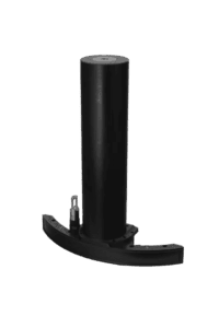
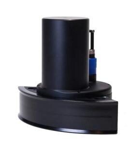
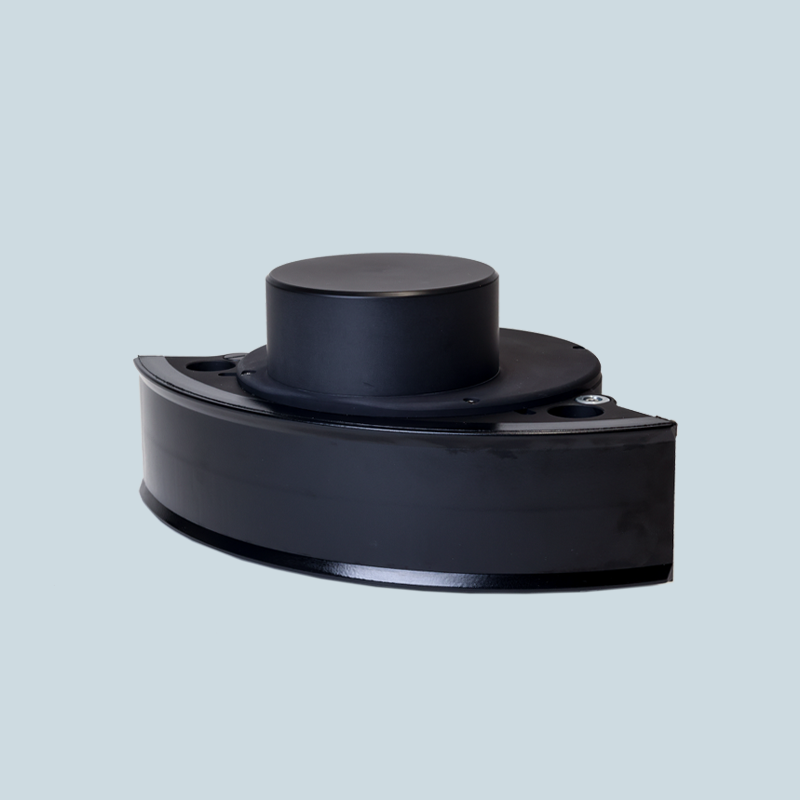
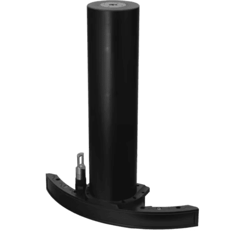
WINGHEAD X Midwater, a 3D bathymetric sonar, from NORBIT Subsea
Multibeam bathymetric sonar transmits multiple beams across a fan-shaped swath and calculates depth from the travel time of returned signals. ROV-mounted systems can produce detailed seabed surfaces, structural models, and georeferenced point clouds when supported by accurate position, attitude, and sound velocity data. Multibeam systems may also record acoustic backscatter that helps distinguish changes in seabed character.
Forward-looking sonar provides an acoustic view of the area ahead of the vehicle. Operators use it to detect seabed features, infrastructure, suspended targets, and possible collision hazards before they enter the camera’s field of view. A wide field of view supports situational awareness, while narrow beams and higher frequencies can improve target separation at shorter ranges.
Profiling sonar uses a narrow beam to measure the distance between the transducer and a surface. Rotating or vehicle-mounted configurations can create cross-sections of pipes, tunnels, tanks, shafts, and other structures. These measurements are useful for assessing deformation, sediment accumulation, internal diameter, scour, or clearance when video cannot provide reliable scale.
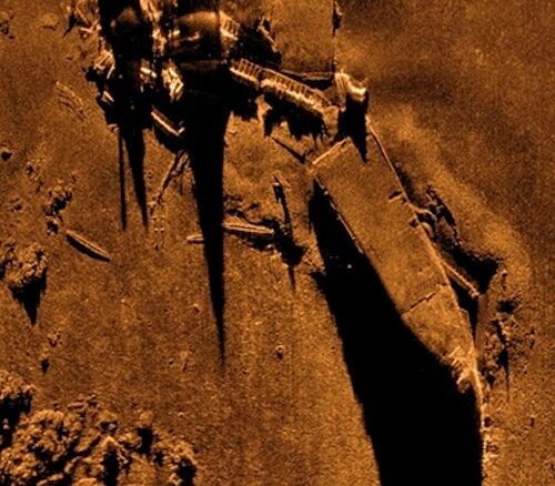
Side-scan sonar directs acoustic energy outward on either side of the vehicle and records variations in returned signal strength. The resulting imagery can reveal seabed texture, debris, wreckage, pipelines, geological features, and objects that cast recognizable acoustic shadows. An ROV installation supports controlled close-range investigation, while an AUV side scan sonar is often selected for efficient coverage of larger planned survey areas.
Single-beam echosounders and acoustic altimeters measure the distance to the seabed or another surface directly beneath the sensor. These compact instruments support altitude control, bottom tracking, landing operations, and basic depth profiling. They can also provide a stable reference for autonomous control when the seabed is outside the useful range of optical sensors.
Sub-bottom profilers use lower-frequency acoustic energy to investigate sediment layers and shallow features beneath the seafloor. ROV deployment allows the sensor to operate close to the bottom, potentially improving spatial control over small areas of interest. Applications include sediment characterization, buried-object investigation, cable-route assessment, and geological research.
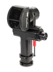
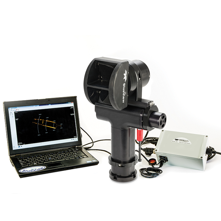
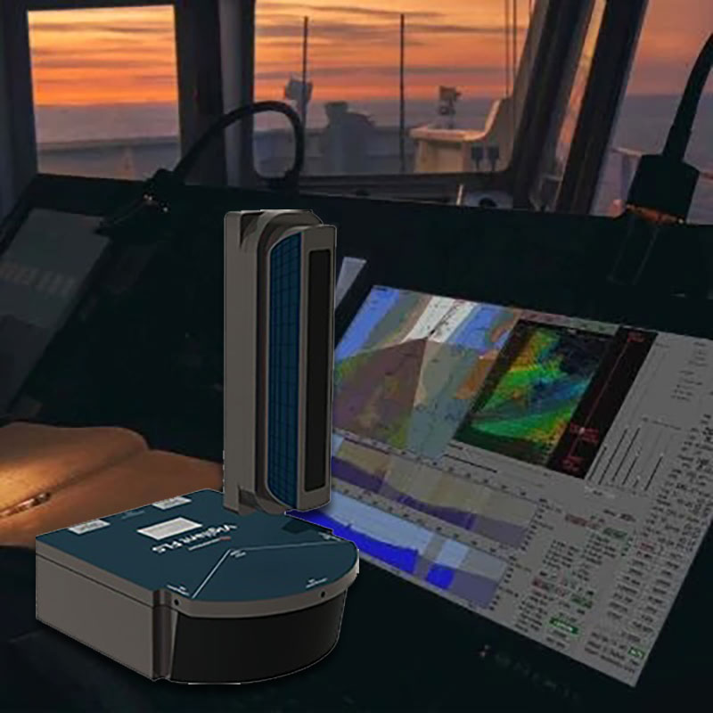
BlueView BV5000 MK2 3D, a multibeam scanning sonar, from Teledyne Marine
ROV sonar and Unmanned Underwater Vehicle (UUV) sonar systems support complementary operating models. Tethered vehicles provide live control and sustained inspection, autonomous platforms execute repeatable survey plans, and surface vehicles can carry sonar directly or support positioning and communication for subsea assets.
Sonar helps pilots and autonomous control systems maintain awareness when visibility is poor or vehicle operations take place near complex structures. Forward-looking sensors detect obstacles, altimeters support seabed clearance, and acoustic imagery assists with target approach and reacquisition. AUV sonars can also contribute to terrain-relative navigation, mapping, and onboard decision-making during missions without continuous operator control.
ROV sonar inspection is used to examine pipelines, cables, foundations, hulls, risers, moorings, ports, dams, and subsea production equipment. Acoustic imagery helps operators find assets, maintain an appropriate standoff distance, and identify structural changes that may be difficult to see on video. Profiling and multibeam data can add measurable geometry for evaluating scour, deformation, damage, or marine growth.
Search operations use sonar to detect objects across a wider area than a camera can observe. Side-scan or multibeam systems may first identify potential targets from an AUV or surface platform, after which an ROV can be deployed for close inspection, identification, and recovery support. Combining acoustic shadows, target dimensions, and position data helps reduce uncertainty during wreck, debris, equipment, or archaeological searches.
Vehicle-mounted sonar can map bathymetry, sediment features, benthic terrain, and changes around natural or engineered sites. AUV platforms are well suited to repeatable area surveys, while ROVs can investigate selected features at close range and collect supporting imagery or samples. Unmanned Surface Vehicle (USV) sonar solutions can extend coverage from the surface or act as communication and positioning nodes for subsea vehicles.
Reliable sonar data depends on more than the acoustic head. Position, motion, depth, environmental measurements, calibration values, and accurate timestamps must be combined to place each return in the correct spatial context.
Solutions may combine inertial navigation, a DVL, and USBL or LBL acoustic positioning to support subsea navigation. Similar sensor fusion principles apply when integrating survey-grade ROV sonars or USV sonar payloads.
Development is focused on increasing acoustic detail while reducing payload size, processing delay, and operator workload. These advances are also bringing ROV, AUV, and USV systems into more closely coordinated survey and inspection workflows.
Recent research reflects continued work on sonar-based segmentation, three-dimensional perception, sensor fusion, and collaboration between surface and underwater vehicles. Operational adoption will depend on validation across changing acoustic conditions and on maintaining reliable human oversight of automated outputs.
 Searching Companies & Products