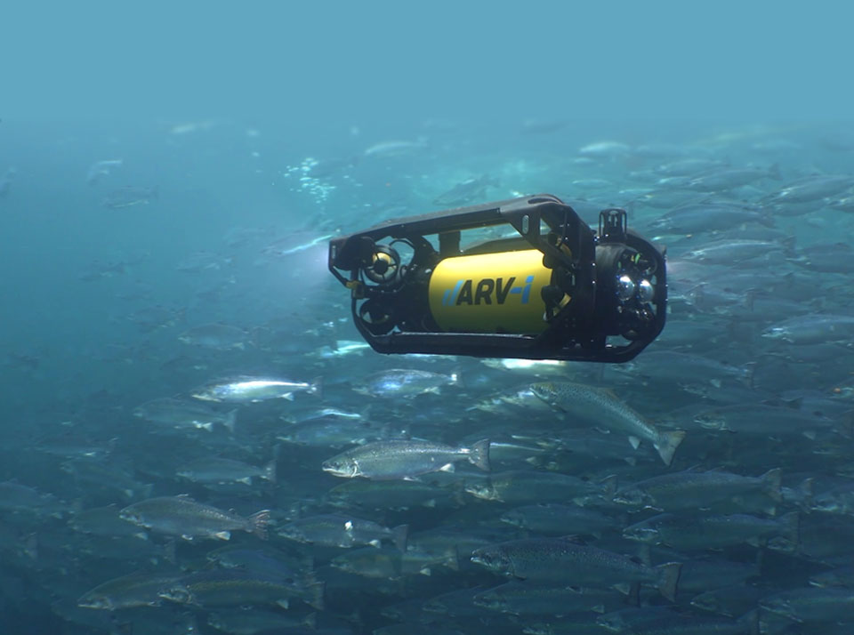
Boxfish Robotics supports non-invasive monitoring of Marine Protected Areas (MPAs) using Remotely Operated Vehicle (ROV) systems designed for depth, precision, and minimal environmental impact.
Many MPAs contain habitats that are difficult to survey with diver-based methods or towed systems due to depth limits, safety constraints, and the risk of disturbance. Boxfish ROV platforms provide stable visual access to these environments while delivering consistent, high-quality imagery for scientific analysis.
MPA areas are essential for biodiversity conservation and sustainable ocean management, but effective oversight depends on access to remote and fragile habitats. Boxfish ROV systems enable detailed visual surveys in these settings without physical interaction with the seafloor.
Documenting Rare Handfish in Australian Marine Parks
In 2020, researchers from the Institute for Marine and Antarctic Studies identified rare handfish species during a review of imagery collected in the Tasman Marine Park. Footage confirmed the presence of the Pink Handfish (Brachiopsilus dianthus), a species not recorded for nearly 30 years. Further analysis revealed more than 200 individuals across the Tasman Fracture and nearby Huon Marine Park, including Ziebel’s Handfish.
Handfish are endemic to south-eastern Australia and among the country’s most threatened fish groups. Of the 14 recognised species, two are listed as critically endangered. Follow-up surveys using a customised Boxfish ROV in Huon Marine Park recorded three individuals, including a Pink Handfish, a Ziebel’s Handfish, and a Humpback Handfish (Brachiopsilus lophonotus), which had not been observed for over two decades.
Supporting Mesophotic Marine Park Surveys
Australia’s offshore Marine Parks network covers approximately 3.8 million square kilometres, or about 43 percent of the national Exclusive Economic Zone. This includes mesophotic habitats between 30 and 150 metres depth that are difficult to access using conventional techniques.
In collaboration with Parks Australia and the NESP Marine and Coastal Hub, IMAS researchers have deployed Boxfish ROVs in Marine Parks including Huon, Freycinet, Zeehan, and Beagle. Surveys focus on collecting high-resolution imagery to characterise reef habitats, benthic communities, and associated fish assemblages.
From Imagery to Management Insight
The Boxfish ROV’s ability to hover accurately and navigate complex terrain supports surveys of steep reef faces, boulder fields, and canyon systems. Imagery is annotated using platforms such as Squidle+, producing datasets used to assess ecosystem condition and support marine park management decisions.
Data products are made available through national data portals, supporting long-term monitoring, comparative studies, and evidence-based conservation planning.
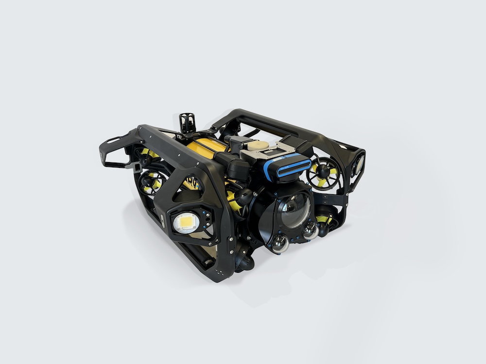
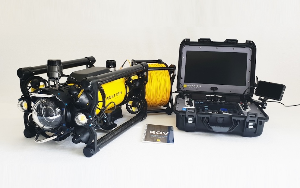
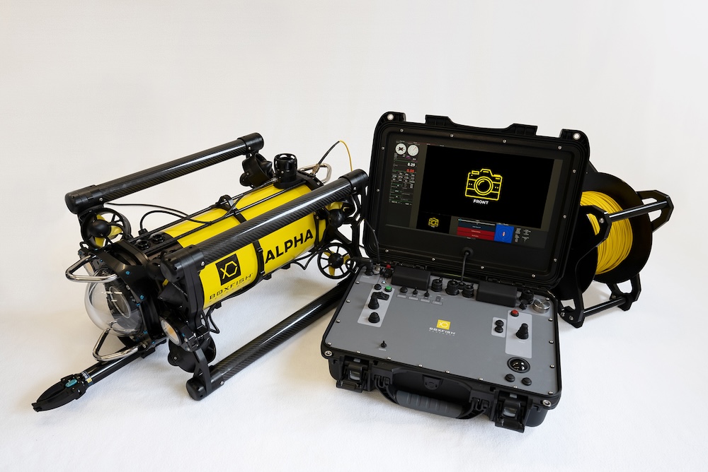
ROV Capabilities for Marine Science
With a compact form factor, deployment durations of up to 15 hours, and high-resolution imaging, the Boxfish ROV is suited to research in protected marine environments. The system records stabilised 4K video and 20-megapixel RAW still imagery for photogrammetry at depths of up to 1,000 metres.
The platform can be deployed from research vessels, small boats, fixed infrastructure, or ice. Six degrees of freedom, precise manoeuvrability, and support for additional sensors allow the Boxfish ROV to be adapted to a wide range of marine science and monitoring tasks within MPAs.