Marine Inertial Navigation Systems (INS) provide continuous position, orientation, and velocity data for vessels, AUVs, ROVs, submarines, and other marine platforms. Using accelerometers, gyroscopes, and onboard processing, these systems support navigation where GNSS signals are unavailable, degraded, or unreliable.
This page features suppliers of marine INS supporting subsea navigation, hydrographic surveying, offshore inspection, autonomous vehicle control, dynamic positioning, and scientific research.
If you design, build or supply Inertial Navigation Systems (INS), create a profile to showcase your capabilities and connect with visitors who have an active requirement for your solutions.
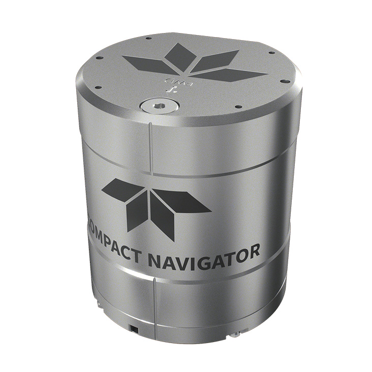
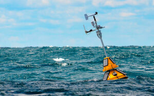
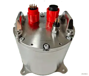
Intelligent navigation & control platform for compact underwater vehicles
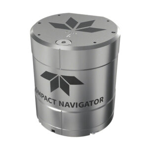
Intelligent navigation & control platform for compact underwater vehicles
...he company’s inertialnavigation and guidance solutions, building upon the trusted GS4 system... ... measures. The system is capable of running onboard AI/ML tasks such as automatic target...
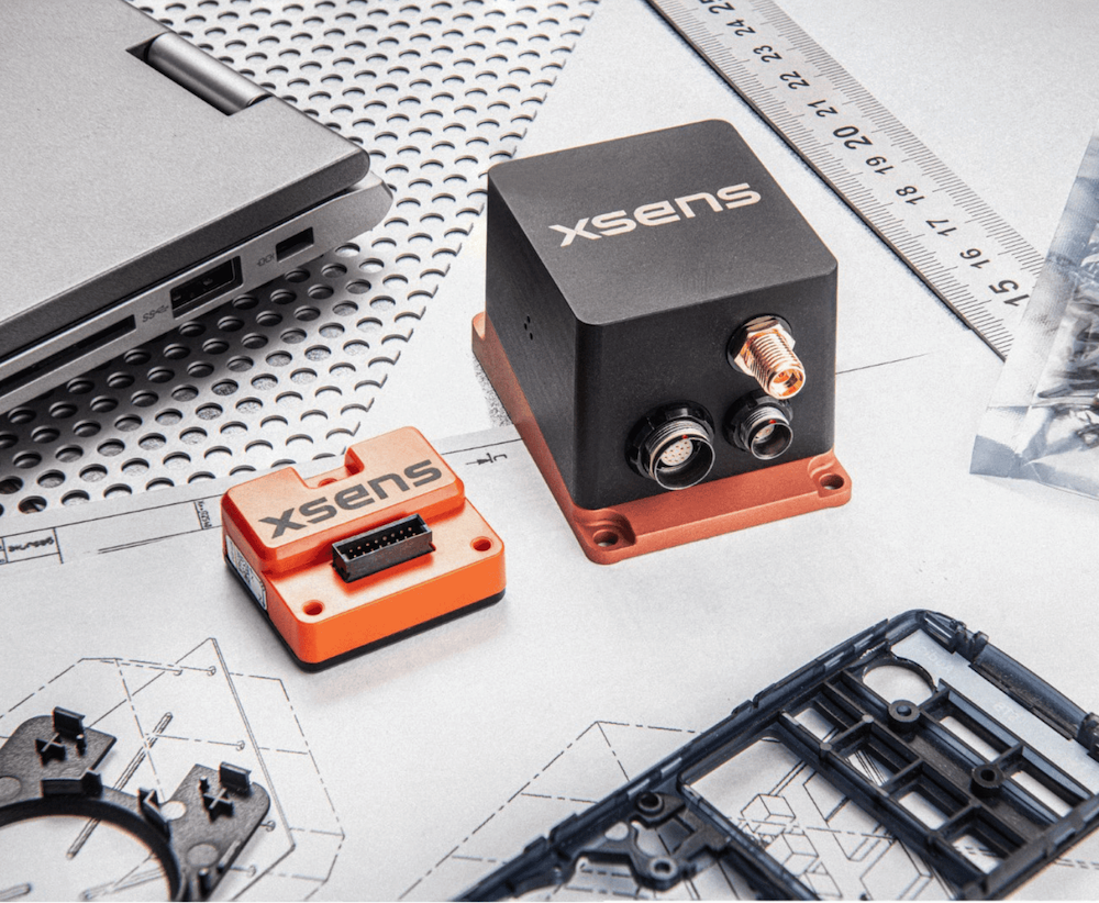
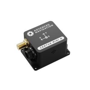
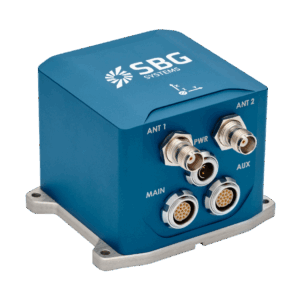
Rugged compact GNSS/INS with tactical-grade performance
Rugged compact GNSS/INS with tactical-grade performance
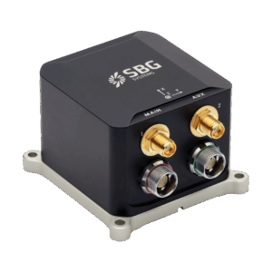
...act GNSS-aided inertialnavigationsystem(INS) designed for high-precision marine applications... ...ssion-critical marine environments, making it ideal for USVs, instrumented buoys, battlefield...
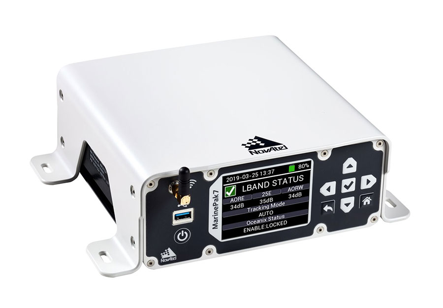
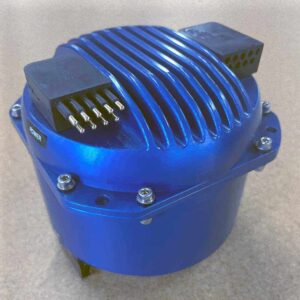
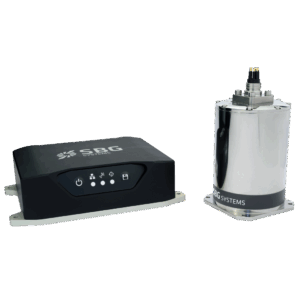
Modular navigation solution for precision hydrographic surveys
Modular navigation solution for precision hydrographic surveys
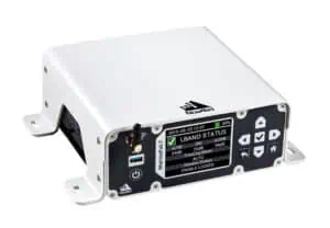
The Navsight Marine is a versatile, high-precision motion and navigation solution tailored for... ...d as a modular system, Navsight Marine offers hydrographers flexibility through configurable IMU...
...nce GNSS-aided inertialnavigationsystem(INS) tailored for demanding marine, airborne, and land... ...eal choice for marine survey systems, USVs, and payloads where precision navigation is...
...al for AUV/ROV navigation and marine survey platforms, and can be integrated with external sensors... ...alibrated MEMS inertial technology with either a single- or dual-antenna GNSS receiver with L1/L5...
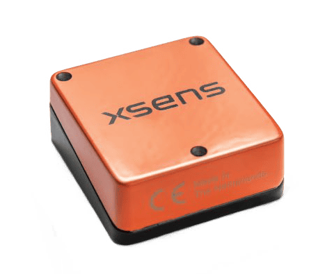
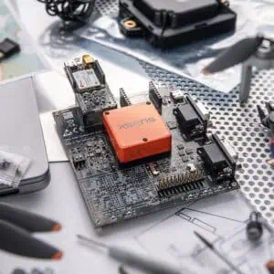
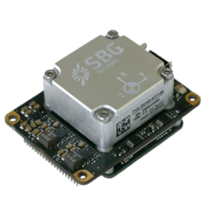
Compact surface-mount inertial modules with built-in sensor fusion
Compact surface-mount inertial modules with built-in sensor fusion
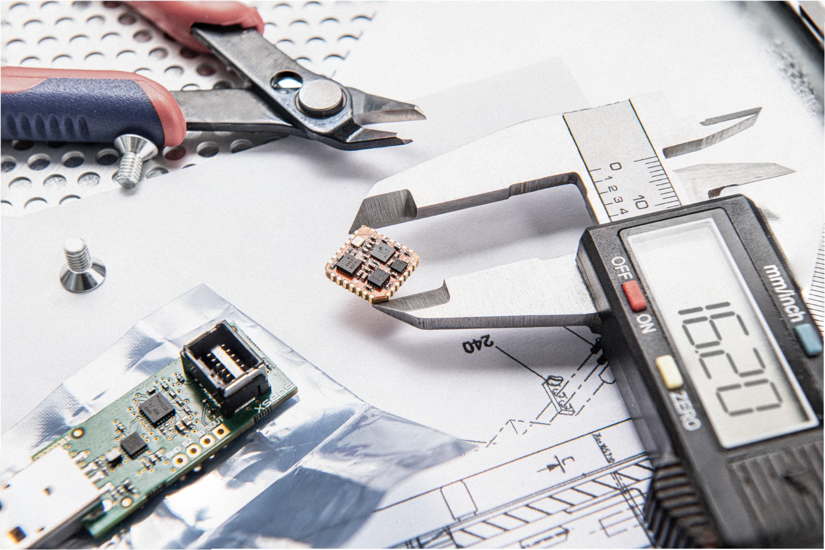
...s high-quality inertial output in an ultra-compact 12 x 12 mm SMD form factor. These modules are the... ......he cost-effective modules are ideal for USVs, buoys, AUV and ROV navigation and control, and...
Versatile inertial sensing solutions with rugged & OEM form factors
Versatile inertial sensing solutions with rugged & OEM form factors
...tile family of inertial sensor products that offers the full spectrum of functionality from IMU to... ......rdability, and are ideal for surface vessels, buoys, AUV and ROV navigation and control, and...
Overview of Inertial Navigation Systems (INS) for Marine & Subsea Applications
Overview by
Sarah Simpson
Updated:
Accurate navigation is fundamental to safe and effective marine operations, especially where satellite-based systems like GNSS/GPS are inaccessible or unreliable. Inertial navigation systems (INS) offer a robust alternative by delivering continuous positional data based on internal sensor measurements. In marine environments, on the surface or underwater, INS guides submarines, autonomous underwater vehicles (AUVs), remotely operated vehicles (ROVs), and ships through complex and signal-denied areas. Whether supporting subsea surveys, deep-sea exploration, or naval missions, marine INS enables precise navigation under the most demanding conditions.
Introduction to Marine Inertial Navigation Systems (INS)
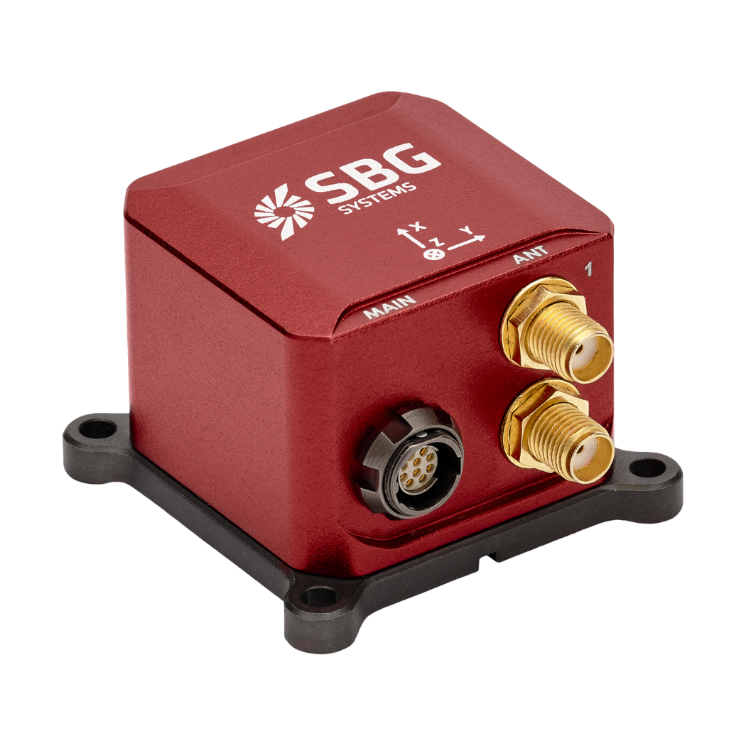
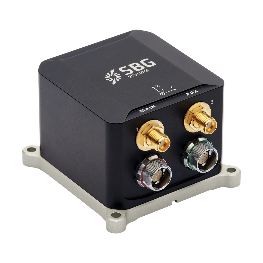
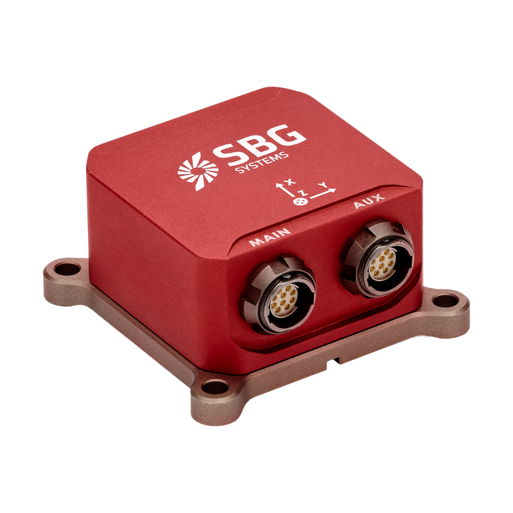
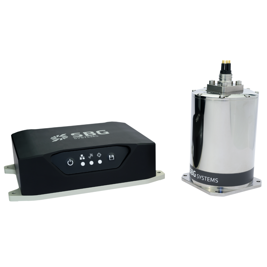
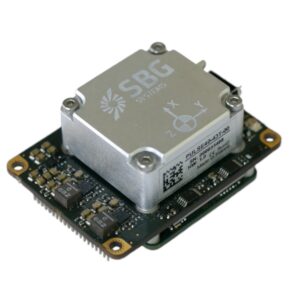
Quanta Micro Inertial Navigation System (INS) by SBG Systems
A marine Inertial Navigation System (INS) is a self-contained electronic device that determines a platform’s position, orientation, and velocity by processing input from inertial sensors. These systems typically consist of accelerometers and gyroscopes that measure linear acceleration and angular rotation, respectively.
Applying Newtonian mechanics, the INS continuously calculates movement from a known starting point without relying on external signals. This makes them especially suitable for underwater or GNSS-denied environments. Marine INS units can function independently or be integrated with GNSS, Doppler Velocity Logs (DVLs), and other aiding sensors to enhance accuracy and correct for drift over time.
Operating Principles of Inertial Navigation Systems
Inertial navigation systems work by measuring the linear acceleration and angular velocity of a platform. The system then uses these measurements to calculate changes in position and orientation over time. The core components include:
Processing units to perform sensor fusion and calculate trajectory
For marine applications, these components are typically part of a strapdown inertial navigation system, where the sensors are rigidly mounted to the platform and use algorithms to resolve position changes. Many systems use GNSS-aided or GPS-aided corrections to reduce cumulative errors, particularly in surface vessels.
Marine Applications of Inertial Navigation Systems
Marine INS provide continuous estimates of position, velocity, and orientation as a platform moves. They are particularly useful underwater, where GNSS signals are unavailable, and on surface vessels that need navigation data between or alongside external position updates. Because inertial position estimates drift over time, a marine INS is commonly integrated with aiding sources such as GNSS, Doppler Velocity Logs (DVLs), or acoustic positioning systems.
Submarine Navigation
Submarines use subsea INS to maintain a navigation estimate while submerged and unable to receive GNSS signals. The system tracks movement from a known position, allowing the vessel to navigate between opportunities to obtain an external position update. Its ability to support extended submerged operations depends on sensor performance and the availability of periodic corrections.
Autonomous Underwater Vehicles
Autonomous Underwater Vehicles (AUVs) use INS to estimate their position and orientation during missions such as seabed mapping, environmental monitoring, and pipeline inspection. Integrating INS with a DVL can reduce position drift when the DVL provides reliable velocity measurements. Acoustic positioning and occasional surface GNSS fixes may provide further corrections, depending on the mission.
Remotely Operated Vehicles
On Remotely Operated Vehicles (ROVs), an INS supplies motion and navigation data for piloting, survey work, and subsea inspection. Combined with DVL or acoustic positioning measurements, it helps operators track the vehicle relative to underwater infrastructure and maintain an accurate position estimate during a task. Position-holding functions depend on the wider vehicle control system as well as its navigation sensors.
Surface Vessel Navigation
Surface vessels integrate INS with GNSS and other navigation equipment to obtain continuous position, velocity, heading, and motion data. Inertial measurements help bridge brief interruptions in external positioning and support systems used for vessel maneuvering, survey operations, and dynamic positioning. The required INS performance varies with the vessel and operation.
Underwater Positioning and Surveying
A subsea inertial navigation system can support subsea positioning systems by providing a continuous navigation estimate between acoustic updates or other external measurements. In hydrographic and seabed surveys, it also supplies the position and orientation data needed to georeference sensor observations. Accurate results depend on sensor calibration, alignment, timing, and the quality of the available aiding data.
Unmanned Surface Vehicles
Unmanned Surface Vehicles (USVs), including military USVs, use inertial navigation systems as part of their navigation and control systems. An INS provides continuous motion data and helps maintain a navigation estimate during short GNSS interruptions, while GNSS and other sensors correct accumulated drift. These capabilities support autonomous transit, route following, and survey operations.
Types of Inertial Navigation Systems Used in Marine Environments
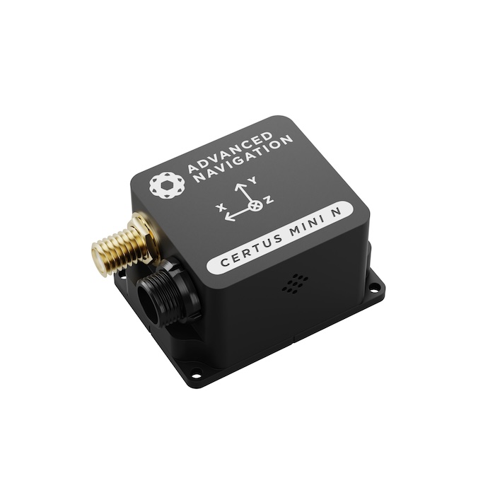
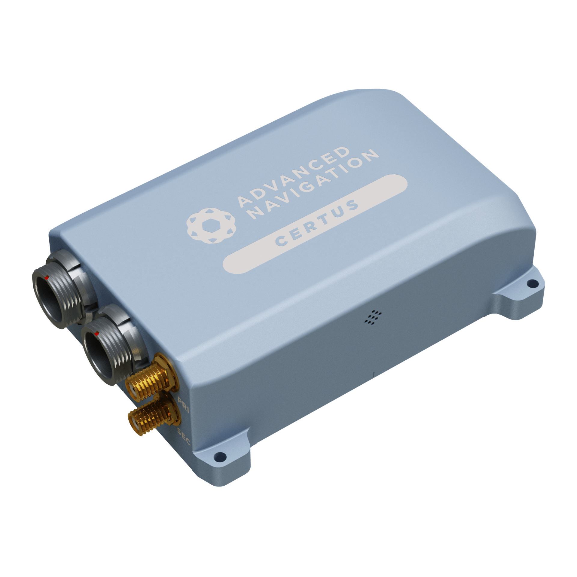
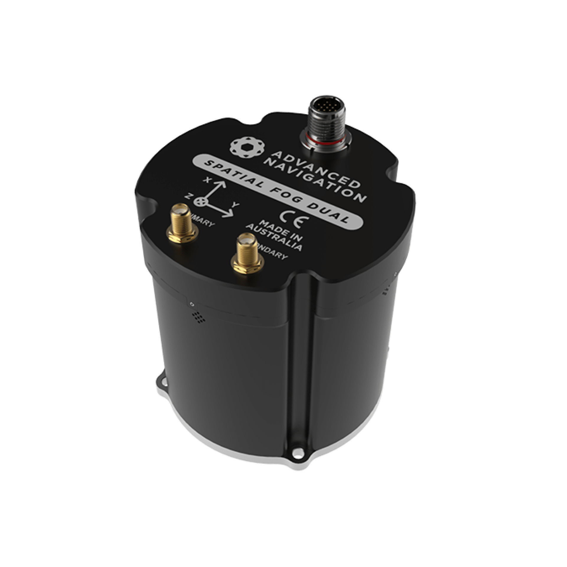
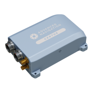
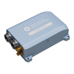
Certus INS by Advanced Navigation
Several types of INS are suited for marine deployment, each with varying levels of precision and endurance:
Strapdown INS: Compact and rugged systems with rigidly mounted sensors, suitable for small vehicles like AUVs and ROVs.
GNSS-Aided INS: Combines INS with GNSS receivers to improve accuracy during surface operations.
MEMS-Based INS: Lightweight and cost-effective systems ideal for small platforms, though less precise than fiber optic or ring laser gyroscopes.
Subsea INS: Specifically engineered for deep-water performance and integration with acoustic and DVL-based systems.
Hybrid INS/DVL Systems: Combine inertial data with Doppler velocity measurements for improved underwater accuracy.
Comparisons & Performance Considerations
While GNSS is widely used for surface navigation, inertial navigation systems provide key advantages in scenarios where GNSS is compromised:
INS vs GNSS: INS provides continuous navigation capability independent of external signals. GNSS, while highly accurate on the surface, can be jammed, spoofed, or unavailable underwater.
GNSS-Aided vs Standalone INS: Aided systems benefit from correction signals, making them suitable for long-duration missions where standalone drift would otherwise accumulate.
INS Accuracy
Marine INS accuracy depends on sensor grade, calibration, and the duration of unaided operation. High-end systems offer drift rates as low as 0.01% of distance traveled.
Standards & Integration Considerations
Marine inertial navigation systems are typically designed to interface with various maritime technologies and must meet relevant environmental, performance, and interoperability standards. These include:
IMO Performance Standards: Guidelines from the International Maritime Organization that define minimum performance requirements for shipborne navigation equipment.
IEC 61162 / NMEA Protocols: Common communication standards for integrating navigation systems with marine electronics, including chartplotters, autopilots, and bridge systems.
ISO 13628-6: Applicable to subsea production systems, this standard may be relevant where INS is integrated with remotely operated or autonomous subsea infrastructure.
Environmental and EMC Compliance: Many INS products are tested to withstand marine-specific conditions such as vibration, humidity, corrosion, and electromagnetic interference, based on general industry or classification society requirements (e.g., DNV, ABS).
INS units are often integrated into larger marine systems such as dynamic positioning suites, hydrographic survey payloads, or AUV control platforms. Integration requires robust data interfaces and time-synchronization protocols to ensure accurate system performance.
Manufacturers & Industry Adoption
Numerous manufacturers produce INS tailored for marine environments, offering variations in performance, durability, and sensor integration. Selection depends on mission requirements, platform type, and operational constraints. Popular applications span defense, research, commercial shipping, subsea construction, and offshore energy.
Marine inertial navigation systems continue to evolve with advances in sensor technology, data fusion algorithms, and integration frameworks. These systems remain essential for accurate and reliable navigation across the world’s oceans.
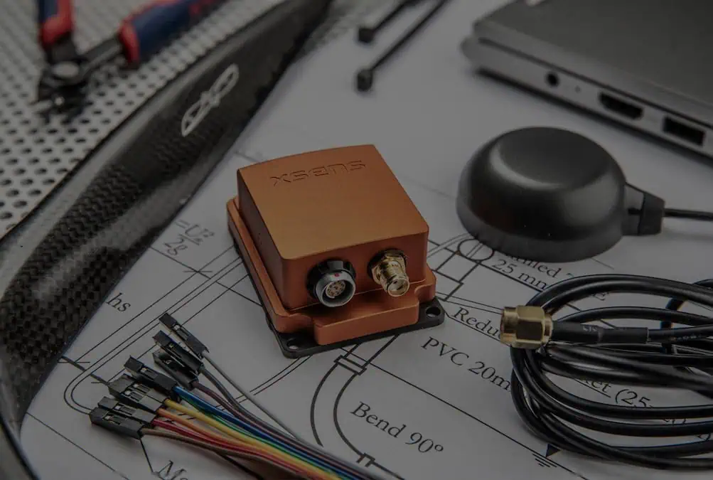
Xsens introduces a dual-antenna RTK GNSS/INS solution delivering centimeter-level positioning and motion-independent heading from startup for stationary and low-speed machinery, robots, vessels and stabilized platforms
Xsens details the MTi-G-710 end-of-life timeline and transition to the Sirius GNSS/INS series, which offers updated hardware, improved degraded-GNSS performance and support for autonomous and offshore applications
Designed for demanding autonomous systems, these compact new modules from Xsens combine high-performance inertial sensors with advanced satellite tracking to deliver centimeter-level positioning and robust navigation in challenging outdoor environments
Advanced Navigation’s case study explores how Tamboritha balanced cost, performance, and rapid deployment using the Boreas A70 for precise deepwater ROV navigation
SBG Systems introduces a modular inertial navigation system designed to provide high-end resilience against vibrations and electronic warfare for mission-critical platforms
Exail delivers hybrid long baseline positioning systems combining acoustic and inertial navigation to support subsea construction, infrastructure installation, and survey operations at depths up to 4,000 meters
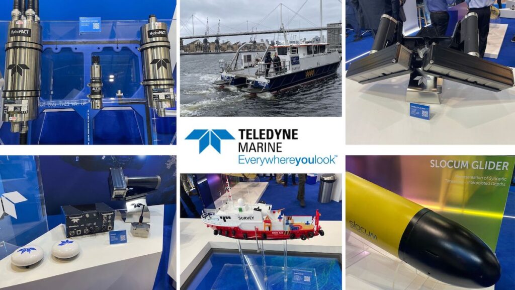
OST visited Teledyne Marine at Oceanology International 2026 in London, where the company showcased sonar, navigation, oceanographic, and autonomous survey technologies
The latest offshore, subsea & marine technology news, straight to your inbox.
Get our weekly roundup of technology developments, new products and industry news.
THANK YOU FOR SIGNING UP
Thanks for joining us. Check your inbox.
We've sent you an email. Click the confirmation link to complete your subscription to the weekly eBrief. In the meantime, explore the latest news, suppliers and technologies.