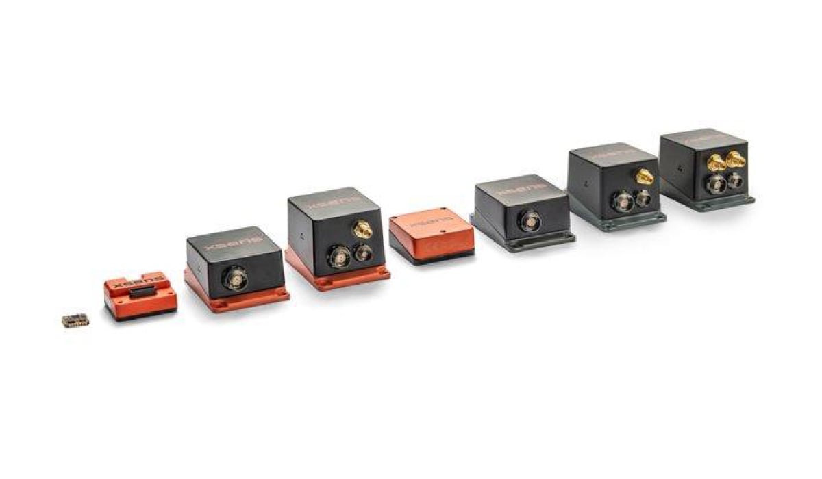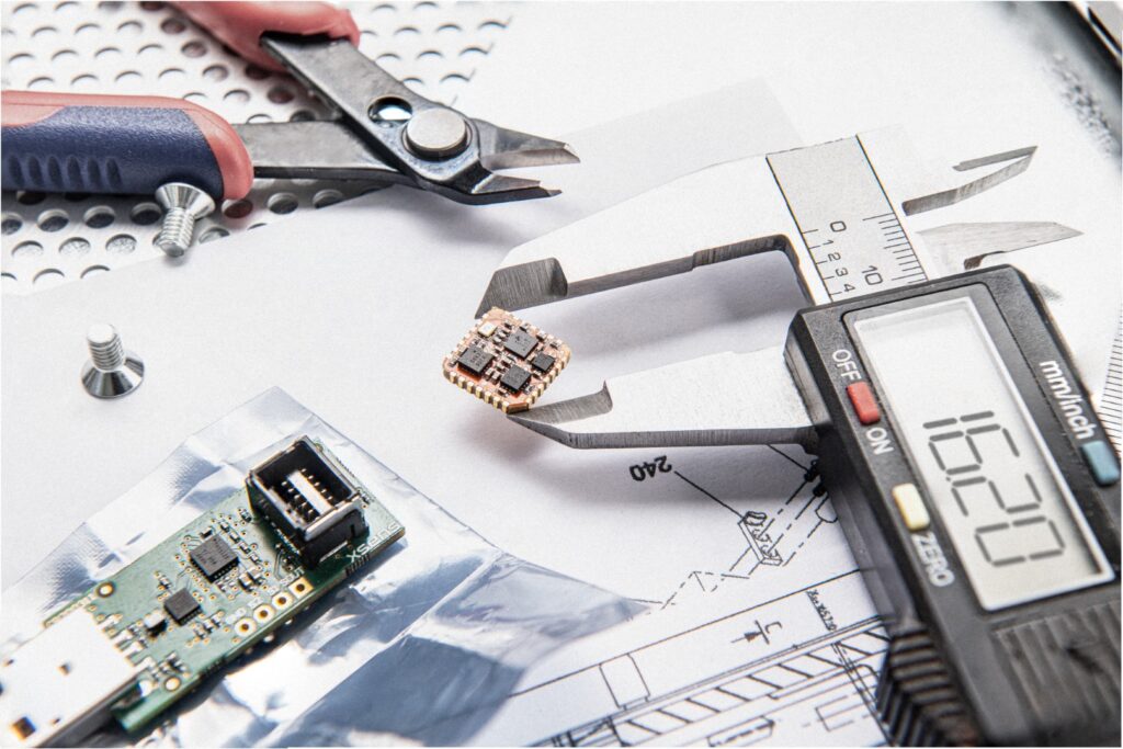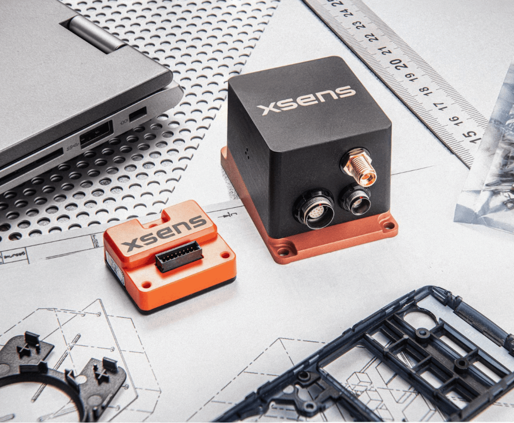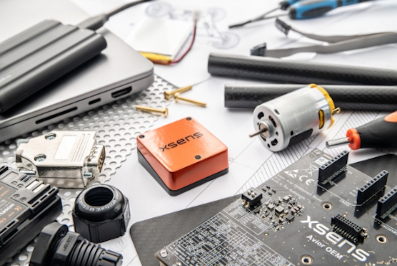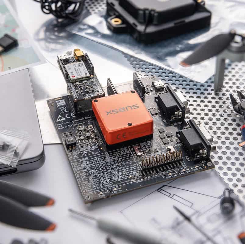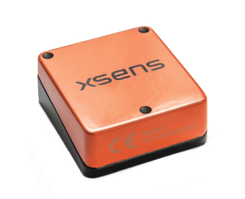
Xsens has launched its new Avior GNSS/INS and Avior RTK GNSS/INS compact OEM modules, combining high-performance inertial platform technology with u-blox GNSS receivers to provide centimeter-level positioning for autonomous and embedded applications.
The newly developed modules are engineered for demanding outdoor platforms where size, weight, power, and cost are critical constraints, such as drones, outdoor mobile robots, autonomous systems, marine vessels, surveying, and mapping. Housed in a robust aluminum casing measuring 36.8 by 40 by 15.7 millimeters and weighing just 35.2 grams, the units consume less than 0.5 watts of power.
“Xsens Avior GNSS/INS represents the next step in our OEM navigation portfolio,” said Martijn, Product Manager at Xsens. “It brings our highest-performing OEM inertial platform together with new generation GNSS technology in a compact, robust design that is easy to integrate. With the RTK variant, customers can also access centimeter-level positioning capabilities for applications that require greater accuracy and positioning continuity.”
Under the hood, the modules offer high-accuracy orientation, providing a roll and pitch accuracy of 0.2 degrees RMS. The standard variant achieves a yaw and heading accuracy of 0.8 degrees RMS alongside a position accuracy of 1 meter CEP, while the RTK-enabled variant tightens heading accuracy to 0.5 degrees RMS and achieves centimeter-level global positioning. Both modules leverage an inertial core featuring a gyroscope bias stability of 8 degrees per hour and an accelerometer bias stability of 15 micro-gravities.
The standard Avior module integrates a u-blox MAX-F10S dual-band GNSS receiver, which simultaneously tracks all major constellations to maintain reliable signal visibility in obstructed environments. For high-precision requirements, the RTK variant utilizes the quad-band u-blox ZED-X20P receiver. This architecture is designed to enhance positioning continuity, provide faster signal re-acquisition after dropouts, and support modern correction networks including PointPerfect and the Galileo High Accuracy Service.
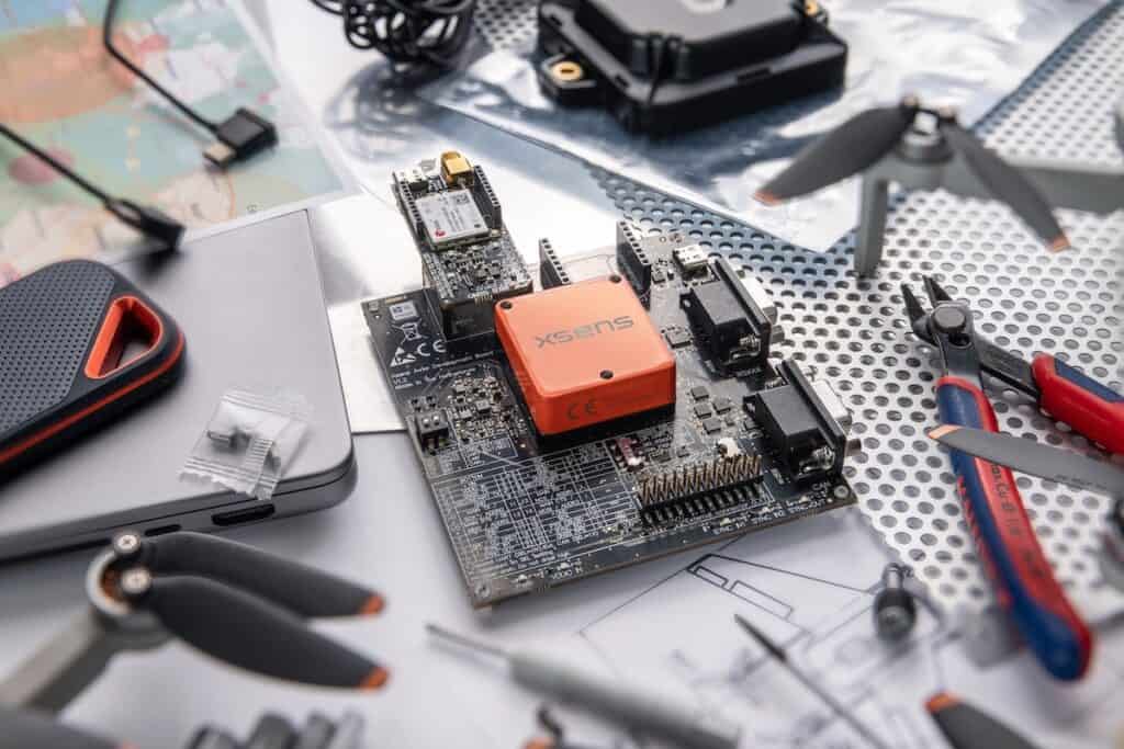
To facilitate integration, the hardware expands upon legacy interfaces to support UART, SPI, I2C, CAN, and CAN-FD, alongside a second UART interface. This communication flexibility is paired with new software features, including a real-time covariance output for downstream state-estimation filters and a specialized marine configuration that delivers real-time heave tracking for unmanned surface vessels. Engineering teams can evaluate the new hardware via a dedicated development kit, which maintains full compatibility with the existing MT Software Suite and associated SDKs.