Applanix POS MV
Position and orientation solution for marine motion sensing & hydrographic survey
Applanix POS MV is a full six degree-of-freedom turnkey solution providing high-accuracy position, heading, attitude, heave, and velocity data for marine survey vessels and remote sensing equipment. Blending GNSS data, angular rate and acceleration data from an IMU, and heading from a GPS Azimuth Measurement System (GAMS), it offers the most robust outputs possible under all conditions, including high multipath and GNSS dropouts.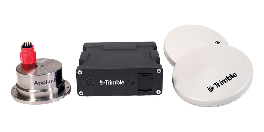 The industry-leading solution is designed to be faster, easily and less costly to deploy, offering increased productivity and streamlined workflows. It provides a wide range of features and benefits that elevate performance for any marine survey operation.
Full GNSS support – both GPS and GLONASS observables are utilized to compute the most robust solution possible, and the system provides excellent carrier phase tracking capabilities even in high multipath environments
High-quality inertial sensing – in addition to GNSS data, POS MV also uses accurate inertial data to ensure continuity of position and heading even under GNSS-compromised conditions such as under bridges and in mountainous terrain. Short-term loss of GNSS does not significantly degrade roll, pitch or heading output.
Powerful post-processing capabilities – raw GNSS and inertial observables can be logged for use in Applanix’ POSPac MMS post-processing software, providing improved accuracy and reliability even under the most challenging ocean conditions.
Fugro Marinestar compatibility – POS MV provides support for Marinestar™ GPS and GNSS services, available via subscription from Fugro. These services provide a range of benefits including real-time data, accuracy to sub-decimeter level, and no geographical limitations.

 Applanix POS MV SurfMaster/SurfMaster One
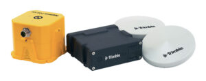 Applanix POS MV WaveMaster II
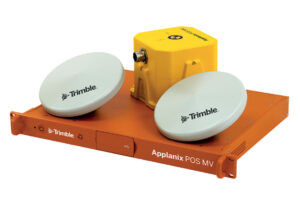 Applanix POS MV OceanMaster
 Applanix POS MV Elite