Trimble Applanix is set to host an educational workshop and panel session at Geo Week, February 16th, 2026, focused on the fundamental concepts and best practices of high-precision mapping.
The session is designed to address the integration of LiDAR and camera systems within airborne, land, and marine environments. It aims to provide technical clarity for a broad audience, including decision makers, engineers, technologists, and subject matter experts, as well as students entering the field.
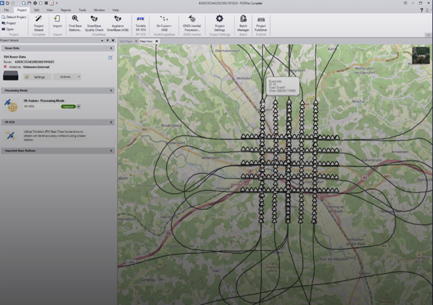
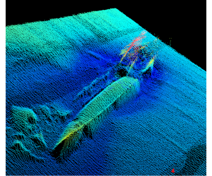
The curriculum covers critical aspects of modern geomatics, specifically focusing on Inertial Navigation and GNSS concepts. Technical discussions will explore the mechanics and accuracy of surveying without a base station, alongside procedures for data acquisition, calibration, and quality control.
Participants will also gain insights into best practices for map production across various platforms. This workshop is not automatically included with general GEO Week registration and must be added through the standard registration process.