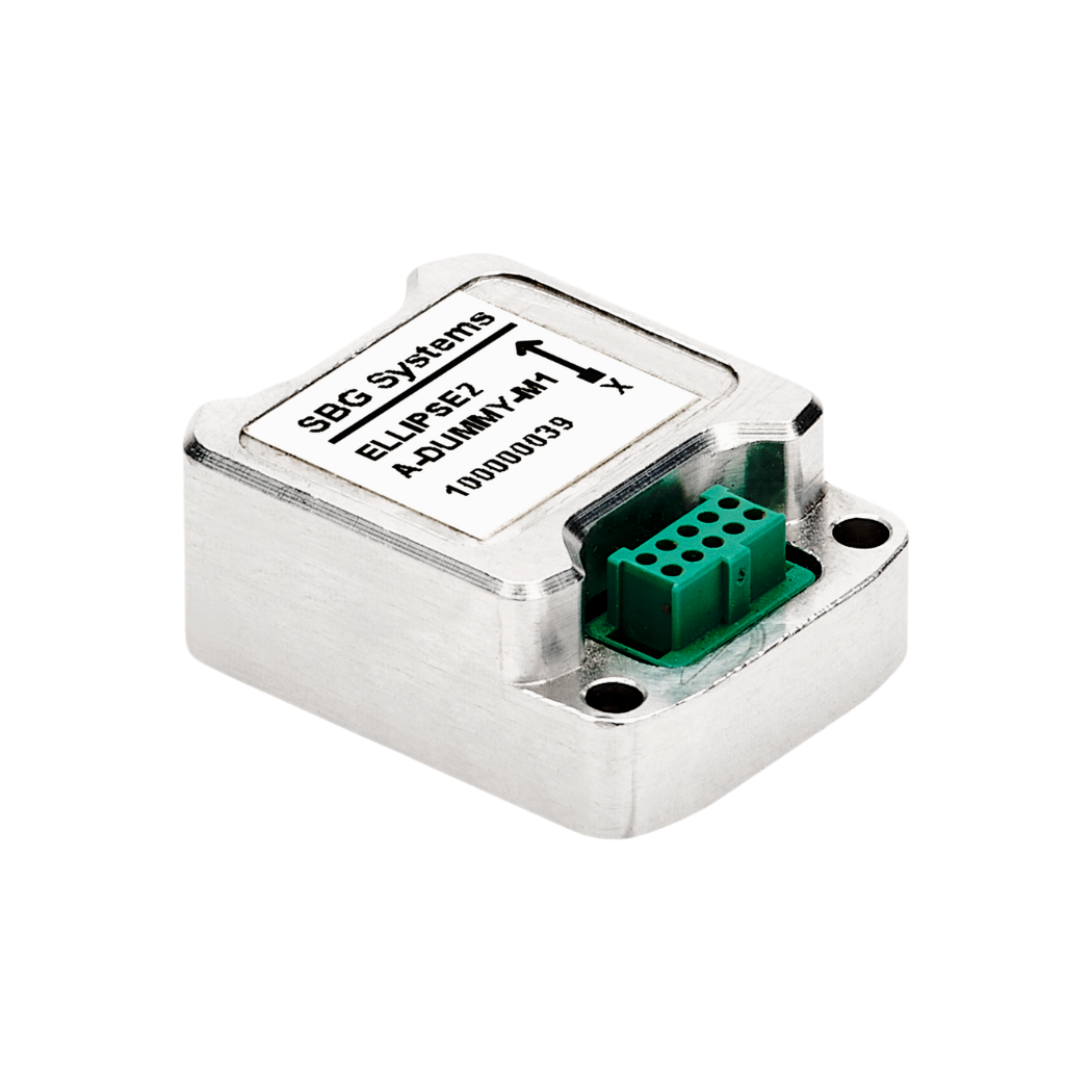
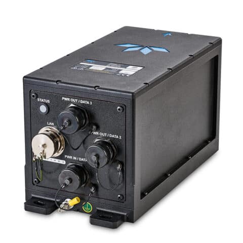
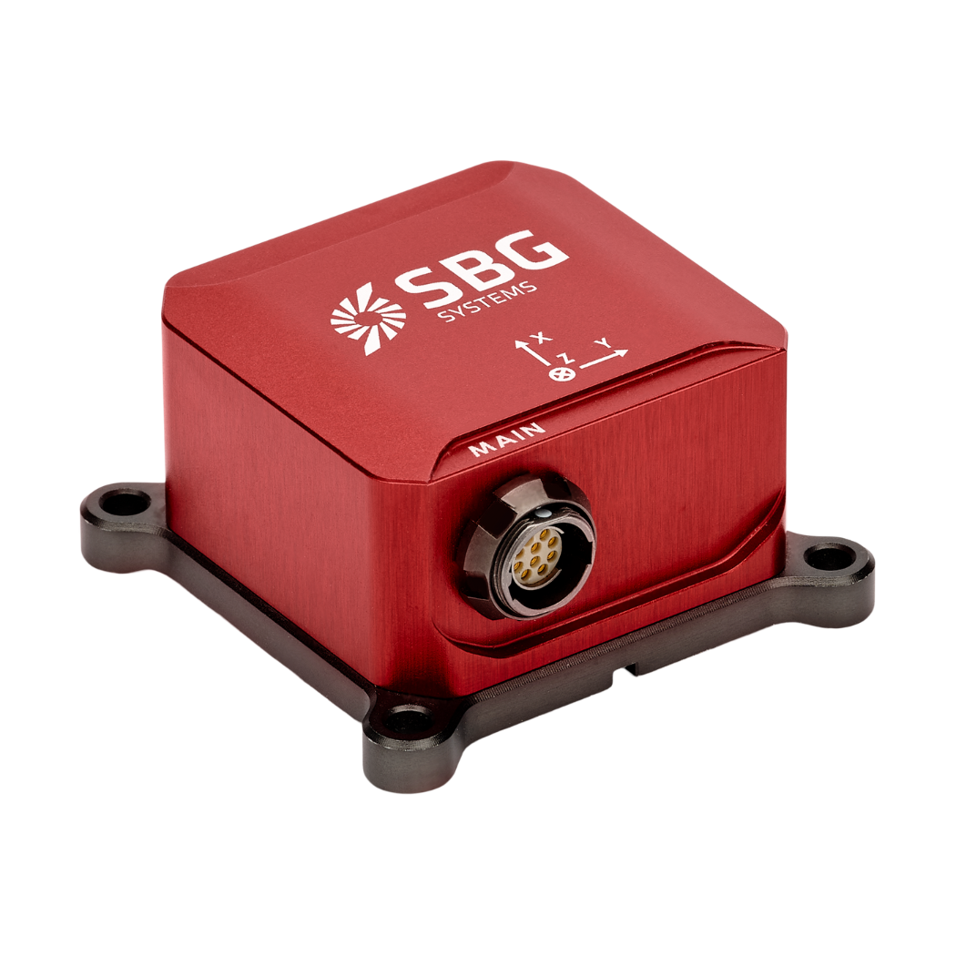
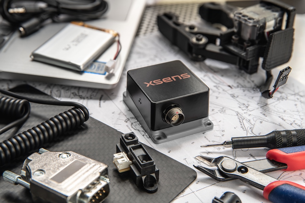
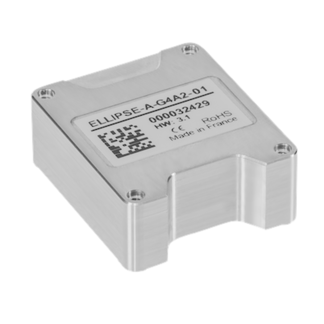
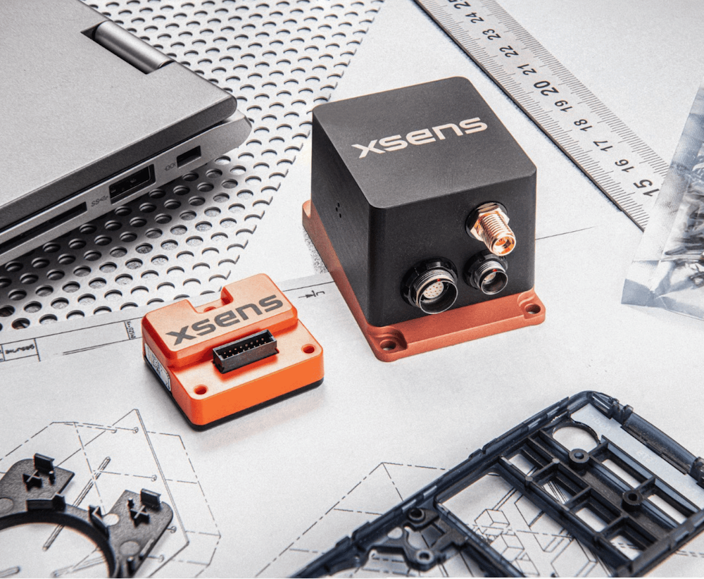
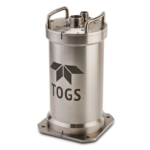
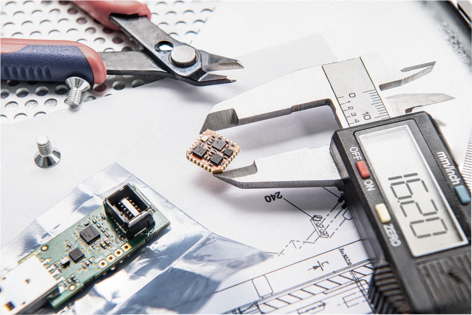
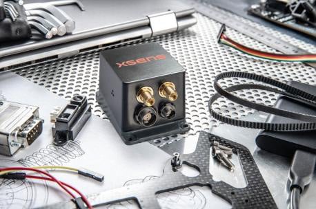
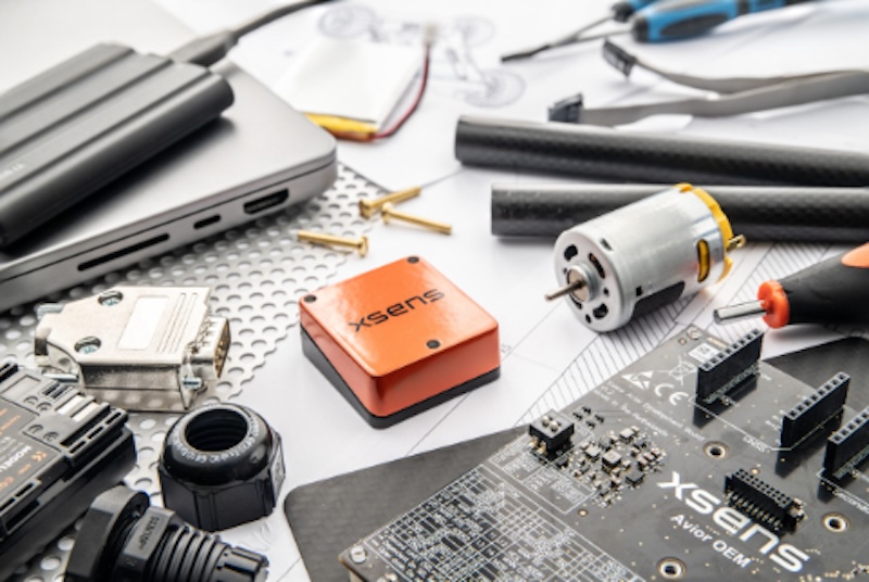
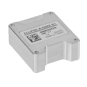
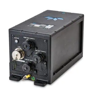
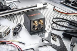
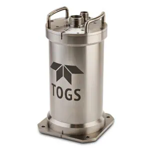
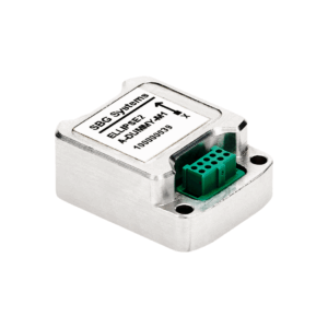
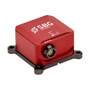
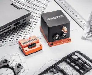
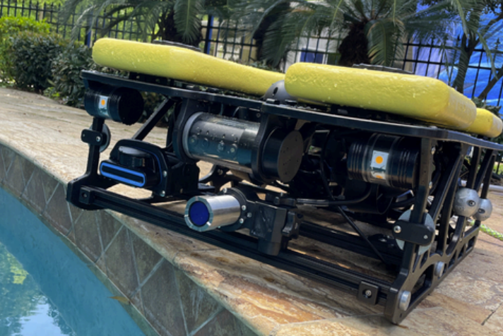
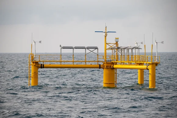
Attitude and Heading Reference Systems (AHRS) are orientation reference systems that continuously calculate roll, pitch, and heading using gyroscopes, accelerometers, and aiding sources such as magnetometers or GNSS. Marine AHRS instruments support navigation, vehicle control, hydrographic surveying, sonar alignment, payload stabilization, and scientific sensor positioning.
This page showcases AHRS suppliers and manufacturers providing solutions for AUVs, ROVs, USVs, surface vessels, buoys, and fixed ocean observatories.
If you design, build or supply AHRS (Attitude and Heading Reference Systems), create a profile to showcase your capabilities and connect with visitors who have an active requirement for your solutions.
The Complete Guide to AHRS for AUVs, ROVs & Marine Vessels
Overview by
William Mackenzie
Updated:
Introduction to Attitude and Heading Reference Systems
An Attitude and Heading Reference System (AHRS) determines the orientation of a marine platform or instrument by continuously calculating roll, pitch, and heading. A typical AHRS system combines gyroscopes and accelerometers with magnetometers, GNSS measurements, or other aiding sources. Sensor fusion algorithms process these measurements to maintain a stable orientation estimate as the platform moves. Reported heading may be magnetic or true depending on the heading reference, aiding sources, and system configuration.
Marine AHRS instruments provide reference data for navigation, vehicle control, hydrographic surveying, sonar alignment, and scientific sensor positioning. They can be integrated into surface vessels, autonomous platforms, remotely operated vehicles, buoys, and other oceanographic systems. Unlike a basic Inertial Measurement Unit (IMU), an AHRS unit produces a referenced attitude solution rather than simply supplying inertial measurements.
Key Types of AHRS Instruments
MEMS-Based AHRS
MEMS AHRS modules use Microelectromechanical Systems (MEMS) gyroscopes and accelerometers to provide compact, relatively low-power attitude sensing. Their small size makes them suitable for Autonomous Underwater Vehicles (AUVs), Remotely Operated Vehicles (ROVs), Unmanned Surface Vehicles (USVs), buoys, and embedded scientific instruments. Performance depends on sensor grade, calibration, temperature compensation, vehicle dynamics, and the external measurements available to constrain inertial errors.
Fiber Optic AHRS
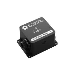
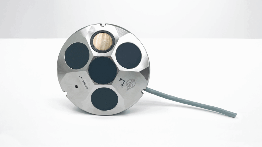
MEMS AHRS by Advanced Navigation.
Fiber optic AHRS instruments use fiber optic gyroscopes to measure rotation. These sensors can offer greater bias stability and lower angular drift than many MEMS-based devices, making them suitable for applications requiring stable marine attitude and heading data over longer periods or under demanding operating conditions.
GNSS-Aided AHRS
GNSS-aided AHRS systems combine inertial measurements with satellite-derived velocity, position, or heading information. Dual-antenna and multi-antenna configurations can determine heading from the relative carrier-phase position of separated antennas rather than relying on the Earth’s magnetic field or vehicle motion. This approach is particularly useful for surface vessels and survey platforms with consistent GNSS availability and suitable antenna separation.
Magnetometer-Free AHRS
Magnetometer-free AHRS instruments use alternative heading references, such as GNSS heading, gyrocompassing-capable inertial sensing, or an externally supplied heading reference. They are useful where electric motors, steel structures, power systems, or nearby equipment could disturb magnetic measurements. This can be particularly important on compact marine vehicles where separation between the heading sensor and potential interference sources is limited.
Core Functions of AHRS for Marine Platforms
Navigation
AHRS navigation data provides a continuous estimate of platform orientation for guidance and navigation systems. Roll, pitch, and heading can be combined with GNSS, Doppler Velocity Log (DVL), acoustic positioning, depth measurements, or other navigation inputs to establish how a surface or underwater vehicle is oriented while following its planned route.
Stability Control
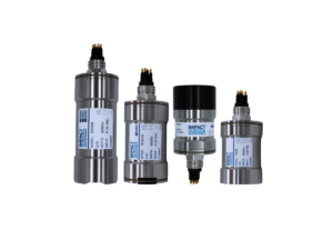
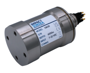
ROV/AUV AHRS by Impact Subsea
An AHRS supplies attitude feedback to vehicle control systems responsible for maintaining stable motion. On AUVs, ROVs, and USVs, rapid measurements of roll and pitch allow control algorithms to respond to disturbances caused by currents, waves, propulsion forces, and maneuvering. The AHRS provides the measurement input, while the vehicle controller commands the required corrective action.
Teleoperation
ROV AHRS data can improve situational awareness during teleoperation by giving pilots a continuous indication of vehicle heading and attitude. This becomes especially useful in low-visibility environments where visual cues are limited and when an operator must maintain a specific orientation relative to subsea structures, pipelines, or scientific targets.
Course-Keeping
Marine heading information can be supplied to autopilot and autonomous control systems to maintain a commanded course. High-rate AHRS measurements allow the control system to detect changes in heading quickly and compensate for disturbances before substantial course deviations develop.
Sensor and Payload Stabilization
Orientation data can be used to stabilize cameras, sonar systems, antennas, and other directional payloads. By measuring platform motion independently from the payload, the AHRS helps stabilization systems maintain the required pointing direction while a vessel or vehicle rolls, pitches, or changes heading.
Motion Compensation and Georeferencing
Hydrographic, acoustic, and oceanographic measurements often need to be related to an Earth-referenced coordinate system. Accurate attitude measurements allow survey software to compensate for vessel motion and transform observations from the sensor frame through the platform frame into the required navigation or Earth-referenced frame. Precise time synchronization, sensor alignment, and correctly measured mounting and lever-arm offsets are critical for this process.
AHRS for Marine & Ocean Science Platforms
Autonomous Underwater Vehicles
An AUV AHRS provides roll, pitch, and heading information for guidance, control, mapping, and payload alignment. Since GNSS signals are unavailable while submerged, an AUV may combine its AHRS with a DVL, pressure sensor, acoustic positioning system, or broader Inertial Navigation System (INS) to maintain an underwater navigation reference throughout the mission.
Remotely Operated Vehicles
An ROV AHRS supports piloting, station-keeping control, manipulator operations, sonar interpretation, and subsea inspection. A subsea heading sensor installed directly on the vehicle also requires suitable pressure protection and integration with other navigation instruments used to establish the ROV’s position and movement.
Unmanned Surface Vehicles
A USV AHRS supplies attitude and heading information for autonomous navigation, steering, payload stabilization, and scientific data collection. Compact AHRS modules are especially valuable on smaller vehicles with limited payload capacity and electrical power. GNSS aiding can provide an additional heading or velocity reference during surface operation.
Hydrographic and Survey Vessels
AHRS for surface vessels provides roll, pitch, and heading measurements used to correct and georeference sonar observations. Errors in attitude, sensor alignment, timing, mounting offsets, or reference-frame configuration can propagate into survey results, so AHRS performance forms part of the overall uncertainty of the hydrographic measurement system.
Oceanographic Research Vessels
Research vessels may distribute marine attitude and heading data to sonar, acoustic positioning equipment, antennas, imaging systems, and scientific payloads. Accurate timestamps and consistent coordinate frames are important when data from multiple instruments must later be combined into a common spatial reference.
Buoys & Fixed Ocean Observatories
Buoys and fixed observatories can use AHRS sensors to monitor instrument orientation, wave-induced motion, or changes in platform attitude. A waterproof heading sensor can also provide directional information for acoustic sensors, cameras, current measurement systems, and other instruments whose output depends on their physical orientation.
Comparison with Other Inertial Sensors
Attitude and Heading Reference System (AHRS), Inertial Measurement Unit (IMU), Vertical Reference Unit (VRU), Motion Reference Unit (MRU), and Inertial Navigation System (INS) technologies overlap, but they provide different levels of inertial, motion, and navigation information.
System
Typical sensing and processing
Primary outputs
AHRS
IMU sensing core with attitude estimation and a heading reference
Roll, pitch, heading
IMU
Gyroscopes and accelerometers
Angular rate and specific force
VRU
Inertial sensors with vertical-reference processing
Roll and pitch, with heave available in some implementations
MRU
Inertial sensors with marine motion processing
Roll, pitch, heave, and motion data
INS
IMU with navigation estimation
Attitude, velocity, and position
The distinction between AHRS, VRU, MRU, and INS instruments varies between system architectures, particularly where products provide overlapping motion and navigation outputs. Their classification depends on the measurements generated, processing performed, external aiding used, and navigation capabilities provided.
Marine AHRS integration may involve several communication standards and environmental requirements:
IEC 61162: Defines digital interfaces for maritime navigation and radiocommunication equipment. IEC 61162-1 covers one-way serial communication from a single talker to one or more listeners.
NMEA 0183: Defines serial data communication and standardized sentence formats widely used by marine electronic equipment.
NMEA 2000: Provides Controller Area Network (CAN)-based, bidirectional networking for compatible marine electronics and supports multiple transmitting and receiving devices on the same network.
Hydrographic survey requirements: AHRS accuracy, timing, alignment, and uncertainty form part of the overall measurement uncertainty considered under hydrographic survey requirements such as the International Hydrographic Organization (IHO) S-44 Standards for Hydrographic Surveys.
Environmental qualification: Operating temperature, vibration, shock, humidity, salt exposure, water ingress, and hydrostatic pressure may all affect instrument selection.
EMC and electrical compatibility: Installation factors include Electromagnetic Compatibility (EMC), grounding, power quality, cabling, and magnetic disturbances from surrounding vessel systems.
Required heading and attitude accuracy, update rate, latency, gyro stability, initialization behavior, interface compatibility, and calibration requirements also affect AHRS integration within a marine platform.
Emerging Developments in AHRS Technology
Several developments are extending the capabilities of marine and subsea AHRS systems:
Improved MEMS performance: Advances in inertial sensing, temperature compensation, and calibration are improving the stability available from compact AHRS modules.
Multi-sensor navigation: AHRS measurements can be fused with GNSS, DVL, acoustic, pressure, vision, and other navigation data.
GNSS-independent heading: Gyrocompassing and higher-stability inertial techniques can reduce dependence on magnetic heading and support operation where satellite signals are unavailable, although external aiding may still be used to constrain accumulated inertial errors.
Integrated navigation modules: Attitude, heading, positioning, and navigation processing can be combined within compact systems.
Compact systems for autonomous platforms: Reduced size, weight, and power requirements support smaller AUVs, ROVs, USVs, and distributed ocean sensing platforms.
More sophisticated sensor fusion: Improved estimation techniques can help AHRS systems maintain orientation information as motion conditions and external aiding sources change.
These developments support the use of attitude and heading reference systems within integrated marine navigation, autonomy, survey, and ocean measurement architectures.
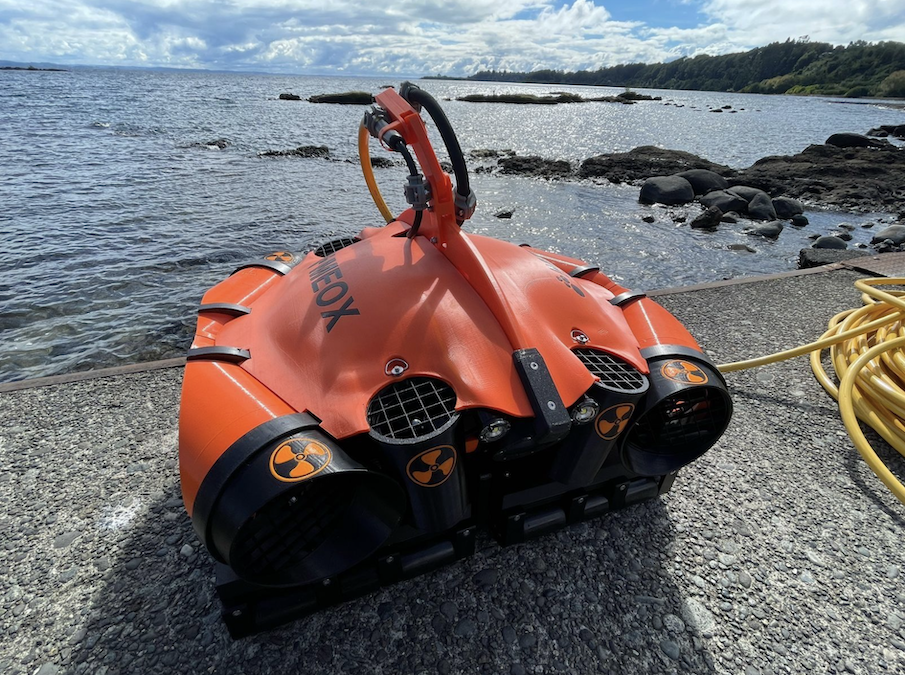
Xsens examines how its MTi-3 Attitude and Heading Reference System delivers reliable orientation, stabilization, and positioning for Meox underwater robotic systems used in subsea cleaning and inspection
Impact Subsea has appointed Spry Technocon as its new distributor in India, enhancing regional support and access to advanced underwater sensor technologies
SBG Systems is showcasing its precision inertial navigation, motion, and positioning solutions on OST, offering robust, ITAR-free sensors designed for a wide range of marine applications
Nortek has launched an OEM housing for its Nucleus 1000 sensor package, simplifying integration into small ROVs and AUVs while enhancing hydrodynamics and operational performance
Impact Subsea’s ISFMD system was integrated with Outland Technology’s ROV-3000 for offshore inspection operations conducted by Offshore Drone Inspection Services
Xsens has provided the critical MTi-300 sensor technology used by Tachysséma Développement to deliver real-time wave motion analysis for the OCG-Data buoy, facilitating the global expansion of offshore wind capacity
The latest offshore, subsea & marine technology news, straight to your inbox.
Get our weekly roundup of technology developments, new products and industry news.
THANK YOU FOR SIGNING UP
Thanks for joining us. Check your inbox.
We've sent you an email. Click the confirmation link to complete your subscription to the weekly eBrief. In the meantime, explore the latest news, suppliers and technologies.