Showcase your capabilities
If you design, build or supply Locator Beacons, create a profile to showcase your capabilities and connect with visitors who have an active requirement for your solutions.


Locator beacons enable accurate tracking, navigation, and recovery across diverse marine environments. From shallow coastal zones to the deep ocean, these devices ensure safety, enhance data retrieval, and support real-time monitoring of valuable scientific and operational assets. Explore the range of locator beacon technologies used in oceanography, subsea research, marine operations, and environmental monitoring, including specific beacon types tailored for targeted marine applications.
Read the Technology Overview


Underwater Acoustic Tracking & Recovery Solutions for Mission-Critical Subsea Assets
Telemetry Tracking Beacons & Equipment for Marine & Offshore Applications

Empowering Data Connectivity, Everywhere: Innovative Satellite Communications & Telemetry Technologies
Innovative Subsea & Marine Navigation, Positioning & Survey Solutions
If you design, build or supply Locator Beacons, create a profile to showcase your capabilities and connect with visitors who have an active requirement for your solutions.

In marine science and offshore operations, locator beacons are used for tracking, monitoring, and recovering instruments, vehicles, and personnel. Designed for deployment across surface and subsea environments, these devices transmit signals via satellite or VHF frequencies and often include GPS receivers to provide accurate positional data for tracking and location updates. As oceanographic research pushes into deeper and more remote waters, the reliability and adaptability of beacon systems are more critical than ever.
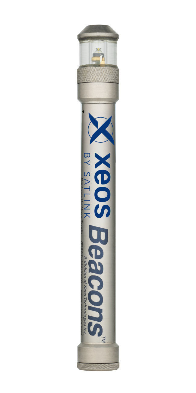
Apollo X7 from Xeos by Satlink.
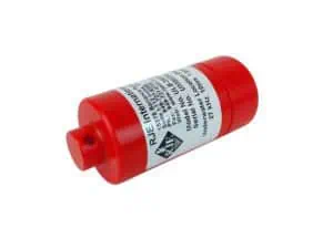
Locator beacons are compact devices that emit identifiable signals for tracking or recovery purposes. Deployed across various oceanographic and marine industry applications, these beacons ensure that vital instruments and assets can be located even under extreme environmental conditions. Locator beacons are a cornerstone of marine situational awareness and equipment retrieval, whether attached to autonomous underwater vehicles (AUVs), moorings, or personal safety equipment.
The systems typically employ satellite, GPS, or acoustic technologies, with modern models integrating telemetry functions for real-time status reporting. Their design and operational frequencies vary depending on depth requirements, data needs, and intended deployment duration.
Instrument recovery – Deployed on deep-sea sensors or data loggers, beacons ensure successful recovery even after long-duration deployments.
Personnel safety – Personal locator beacons (PLBs) and Emergency position indicating radio beacons (EPIRBs) assist in search and rescue operations at sea by providing reliable position updates.
Marine tracking – Monitoring surface and subsurface buoys, AUVs, and ROVs during missions.
Environmental monitoring – Beacons support long-term observation platforms by relaying positional and environmental telemetry data.
GPS locator beacons provide high-accuracy positioning by transmitting real-time location data via satellite communications (SATCOM) or local RF links. Often integrated into marine instruments, these beacons are crucial for tracking surface drifters, deployed buoys, and mobile research platforms.
Applications:
AIS beacons transmit Automatic Identification System (AIS) signals, making them visible on maritime navigation systems. Ideal for safety and asset awareness, AIS-compatible beacons help alert nearby vessels and shore stations to the location of scientific equipment or emergencies.
Applications:
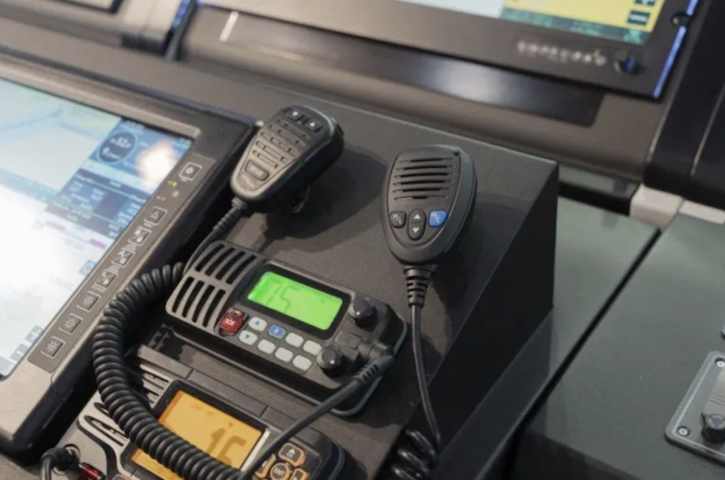
VHF locator beacons operate over VHF (very high frequency) radio channels and are especially useful for short-range positioning and recovery tasks. They are often used during search and retrieval operations when vessels or teams are nearby.
Applications:
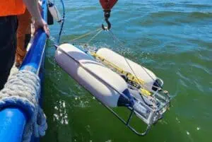
NOVATECH Tracking & Monitoring Beacons by MetOcean Telematics
LED flasher beacons provide visual cues at the surface or shallow subsurface, typically used during night operations or in low-visibility conditions. These are often paired with acoustic or RF beacons to confirm multimodal location.
Applications:
Handheld locator beacons are typically carried by personnel working offshore or at sea. They provide emergency positioning through GPS/GNSS and are a key element of marine safety gear.
Applications:
Modern locator beacons are designed to withstand high pressure, corrosive saltwater environments, and long-term deployments. Their features may include:
Manufacturers increasingly focus on cross-compatibility with oceanographic equipment, offering beacons that can operate across multiple frequency bands and with user-programmable transmission intervals.
Beacon deployment is a highly strategic process that varies based on environmental conditions, deployment duration, and depth. For example, deep-sea beacons require pressure housings and acoustic signaling, while surface-mounted systems prioritize RF or satellite transmission. In many cases, a hybrid deployment strategy involving visual, acoustic, and RF signaling ensures redundancy and reliability.
Beacon communication systems also support remote monitoring and diagnostics. This allows researchers to assess the beacon’s operational status without physical retrieval, a crucial capability during long-term ocean observation projects.
Beacons are frequently integrated with conductivity, temperature, and Depth (CTD) Sensors, acoustic doppler current profilers (ADCP), sediment traps, and AUVs to support synchronized data acquisition and tracking. This integration allows scientists to recover both the instruments and the collected data safely and efficiently, reducing mission risk and improving research outcomes.
In environmental monitoring, telemetry-equipped beacons can also transmit real-time oceanographic parameters, such as temperature or pressure, along with position data.
 Searching Companies & Products

 Subscribe to the Weekly eBrief
The latest engineering and technical developments straight to your inbox - join thousands of engineers who receive it.
Subscribe to the Weekly eBrief
The latest engineering and technical developments straight to your inbox - join thousands of engineers who receive it.