Showcase your capabilities
If you design, build or supply Aerial Camera Systems, create a profile to showcase your capabilities and connect with visitors who have an active requirement for your solutions.


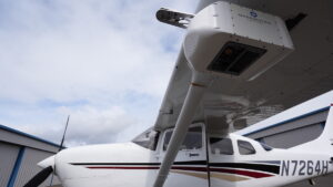
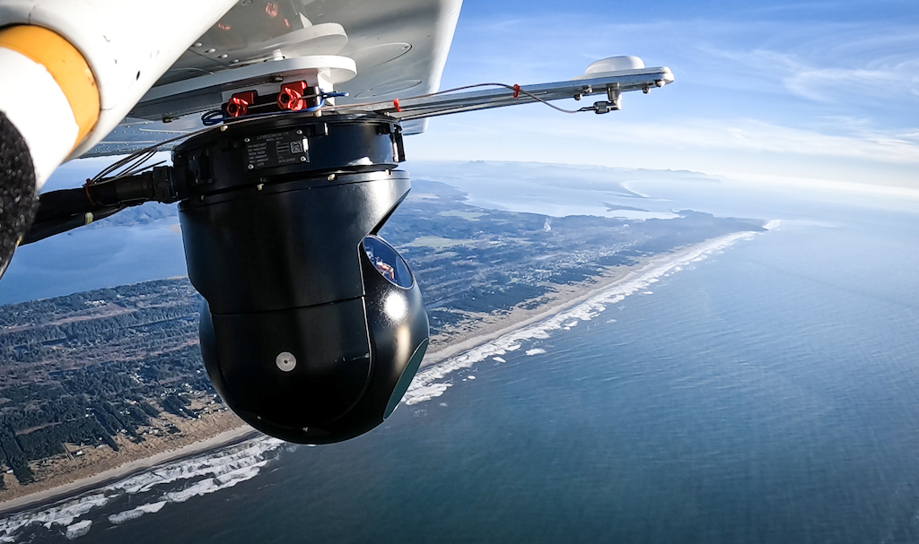
Aerial camera systems have revolutionized the way geospatial data is captured, particularly in specialized applications such as photogrammetry mapping and marine ecology surveying. These advanced systems, deployed on drones, UAVs, and manned aircraft, offer precision imaging for both terrestrial and marine environments. With innovations like NIR imaging, CMOS sensors, and aerial camera controllers that integrate IMU inputs, these systems ensure unparalleled accuracy and functionality.
Read the Technology Overview
Mission-Ready Sensor Autonomy for Airborne ISR & Maritime Domain Awareness
If you design, build or supply Aerial Camera Systems, create a profile to showcase your capabilities and connect with visitors who have an active requirement for your solutions.

Aerial camera systems are specialized imaging devices designed for deployment on drones, UAVs, and aircraft to capture high-resolution photographs and geospatial data from above. Equipped with advanced technologies such as CMOS sensors and near-infrared (NIR) capabilities, these systems excel in applications requiring detailed and accurate photogrammetric mapping. Their ability to capture imagery across diverse spectrums enables the identification of subtle variations in terrain, vegetation, and marine environments.

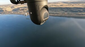
Aerial camera system for UAV photogrammetry from Overwatch Imaging.
In marine applications, aerial camera systems play a crucial role in ecological surveying, mapping coastal areas, and supporting marine infrastructure projects such as offshore wind farms. The integration of these systems with sophisticated controllers further enhances their capabilities, ensuring synchronized operation of multiple cameras and precise data collection.
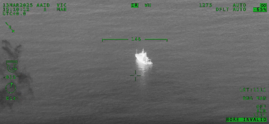
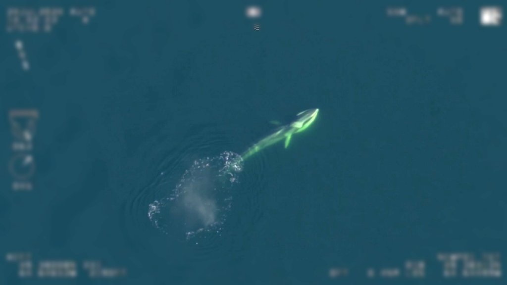
Marine ecology surveying relies heavily on aerial camera systems for detailed analysis of ecosystems. From monitoring coral reefs to tracking marine biodiversity and mapping coastal erosion, these systems provide researchers with invaluable insights. Equipped with NIR imaging capabilities, they can detect subtle changes in vegetation health and water quality, making them indispensable for environmental studies and conservation efforts.
UAVs carrying aerial cameras are particularly well-suited for surveying hard-to-reach areas such as remote islands or offshore marine habitats. Combined with photogrammetry techniques, they can create detailed 3D models of underwater and coastal environments, supporting sustainable management practices.
Aerial camera systems are integral to photogrammetry, the science of creating accurate maps and 3D models from photographic data. In UAV photogrammetry, drones equipped with cameras capture overlapping images of an area, which are then processed to generate geospatial data.
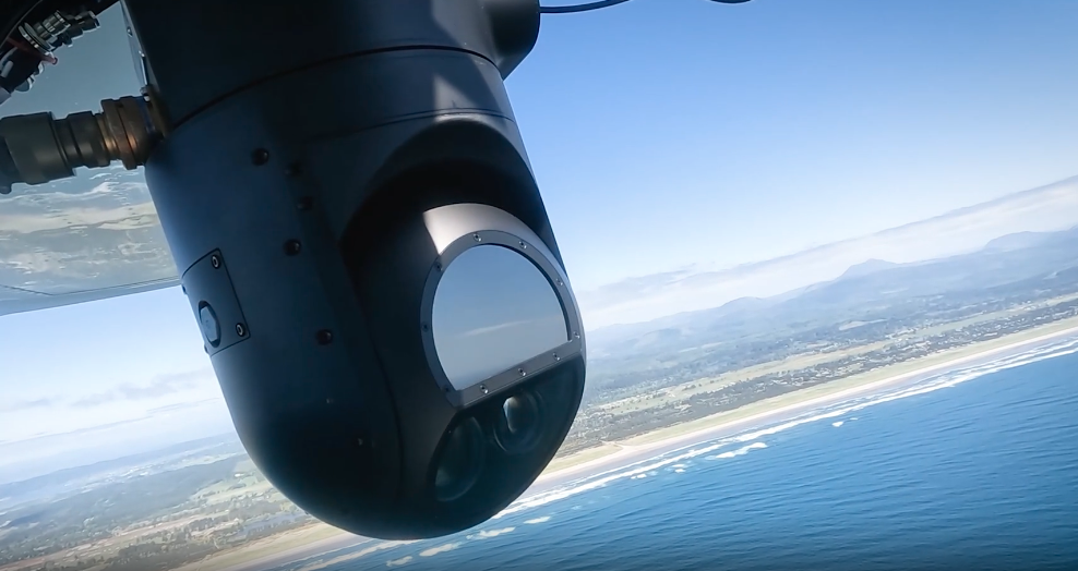
Modern aerial cameras use CMOS sensors and advanced optics to capture sharp, distortion-free images suitable for precise mapping. By integrating with controllers that accept IMU (Inertial Measurement Unit) inputs, these systems achieve even greater accuracy. The IMU provides real-time data on the camera’s position and orientation, ensuring every image is correctly georeferenced. This level of precision is crucial for marine applications, where small errors can lead to significant inaccuracies in mapping.
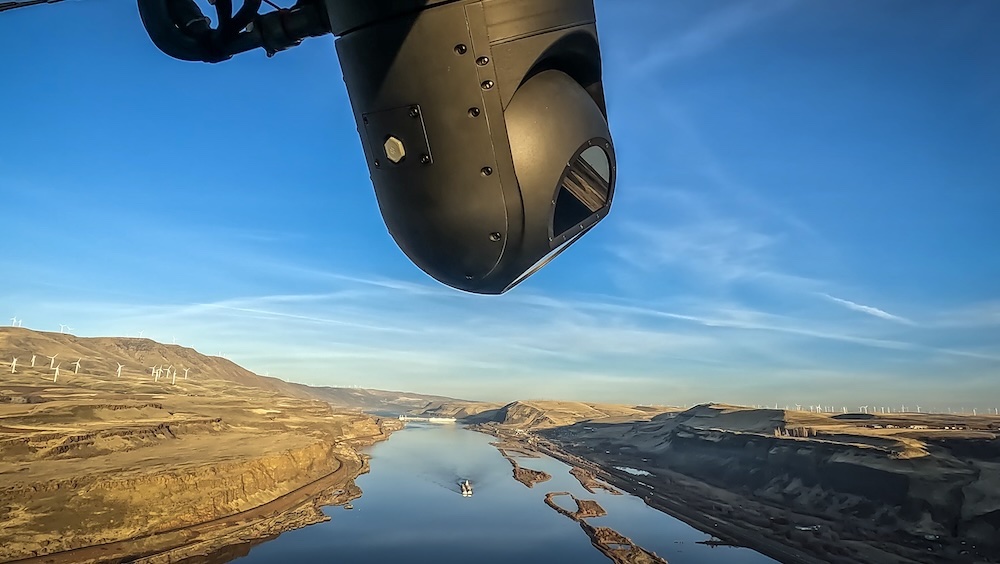
Aerial camera systems come in various configurations to suit different operational requirements.
Aerial camera controllers are pivotal in enhancing the functionality of these systems. They allow operators to manage multiple cameras simultaneously, ensuring synchronized data capture. By accepting IMU inputs, controllers enable precise georeferencing of images, eliminating errors caused by movement or drift.
In marine applications, these controllers ensure the accurate mapping of vast areas, supporting projects such as coral reef monitoring or offshore wind development planning. The seamless integration of controllers with aerial camera systems ensures that even the most challenging surveys yield reliable results.
The evolution of aerial camera systems continues to redefine the possibilities of photogrammetry and geospatial data collection. Innovations such as real-time data transmission, enhanced NIR imaging, and AI-driven analytics have expanded their capabilities. These advancements are particularly beneficial for marine applications, where time-sensitive and accurate data are paramount.
In addition to hardware improvements, software tools for processing photogrammetric data have also advanced, offering automated workflows and higher accuracy. Combined, these technological leaps ensure aerial camera systems remain at the forefront of mapping and surveying innovations.
Aerial camera systems are indispensable tools in photogrammetry mapping and marine ecology surveying. They offer precision and versatility and support a wide range of applications, from capturing geospatial data to creating detailed maps of marine environments. Features such as NIR imaging, CMOS sensors, and IMU-integrated controllers make them essential for achieving accurate and reliable results.
As technology advances, aerial camera systems will continue to drive progress in geospatial science, providing new opportunities for ecological research and sustainable development. Whether for drones, UAVs, or manned aircraft, these systems are at the core of modern aerial imaging solutions.
 Searching Companies & Products

 Subscribe to the Weekly eBrief
The latest engineering and technical developments straight to your inbox - join thousands of engineers who receive it.
Subscribe to the Weekly eBrief
The latest engineering and technical developments straight to your inbox - join thousands of engineers who receive it.