


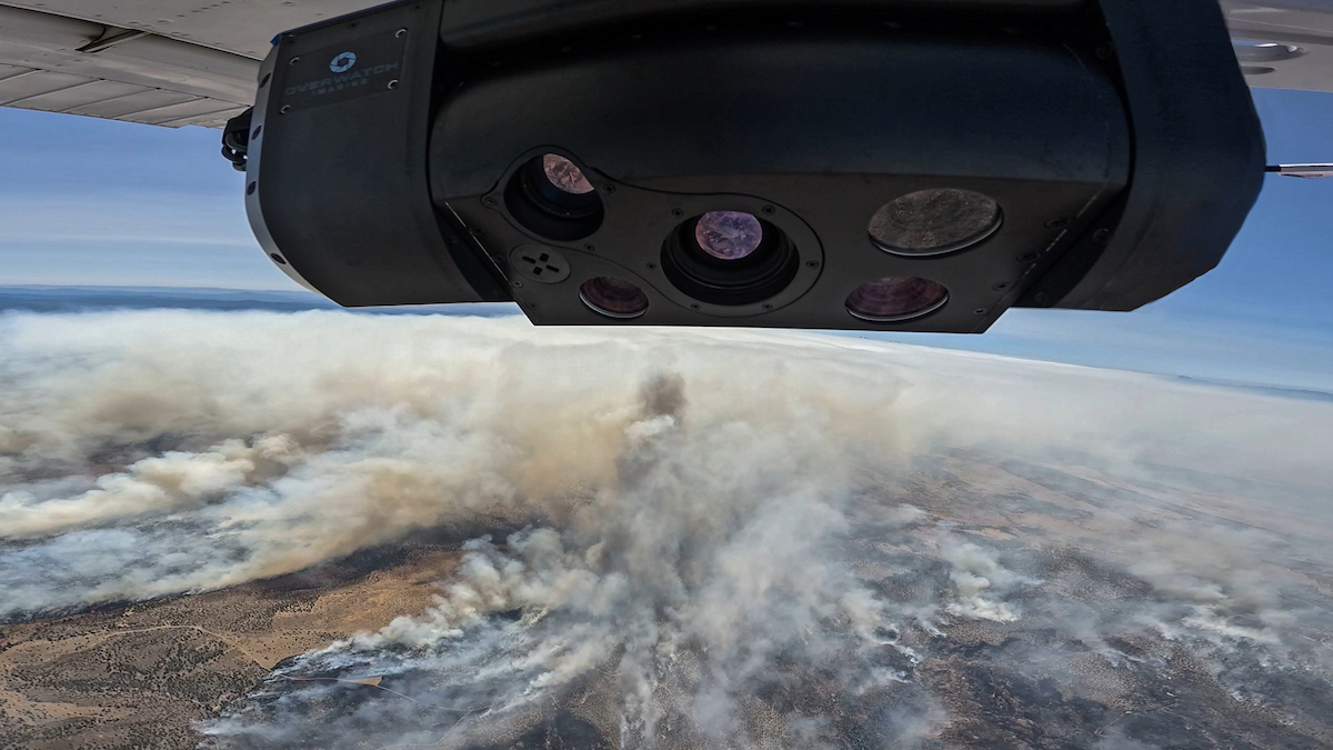
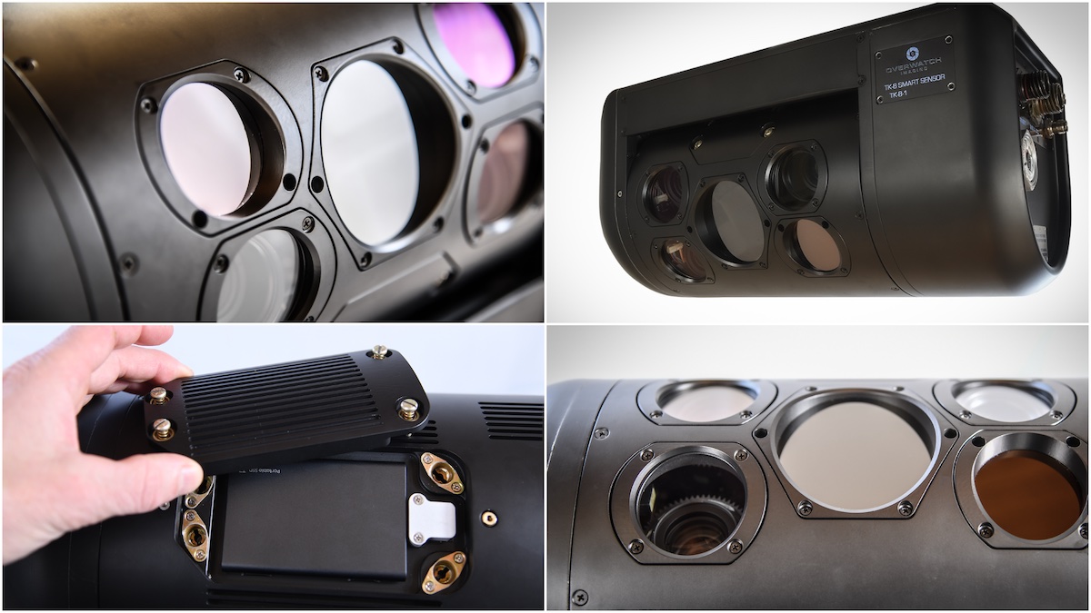

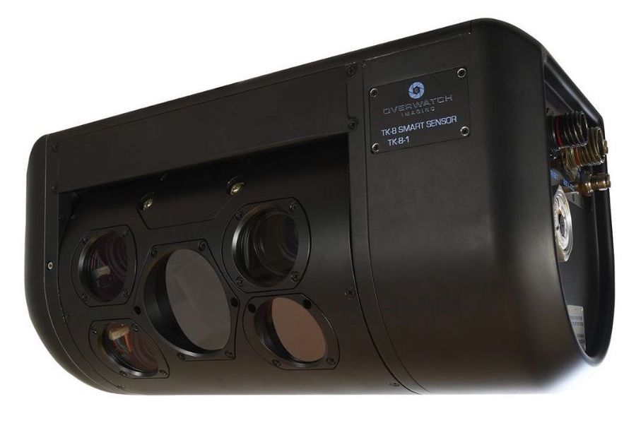
The TK-8 Smart Sensor is a multispectral imaging system designed for wide-area mapping and real-time intelligence missions using unmanned aircraft systems. The payload integrates five spectral bands including RGB, near-infrared (NIR), short-wave infrared (SWIR), mid-wave infrared (MWIR), and long-wave infrared (LWIR), delivering high-resolution, AI-enabled intelligence. Horizon-to-horizon imaging enables rapid coverage of large areas during a single mission.
Onboard processing and AI-driven automation convert raw imagery into georeferenced, mission-ready intelligence optimized for efficient bandwidth use and rapid operational distribution. The TK-8 supports automated fire mapping, coastal and border patrol, search and rescue, change detection, oil spill identification, flood mapping, terrain reconstruction, infrastructure inspection, ISR, and vegetation analysis. The TK-8 delivers a rapidly-taskable, wide-area, high-resolution sensing layer with on-demand refresh and edge exploitation, providing operators an updated, precise picture of what’s happening now, not minutes or hours later.
Specifications:
| Size: | 40 x 17 x 19 cm |
| Weight: | 11 kg |
| Avg. power: | 140w |
| Cameras: | RGB, NIR, SWIR, MWIR, LWIR |


