Teledyne Marine, alongside Teledyne Geospatial, has successfully participated in the SeaSEC Challenge 2025, a multi-national maritime exercise focused on real-world testing of technologies that safeguard underwater infrastructure.
Held from 12–23 May off the coast of Scheveningen, Netherlands, the event brought together partners from six nations to validate critical capabilities in shallow-water environments.
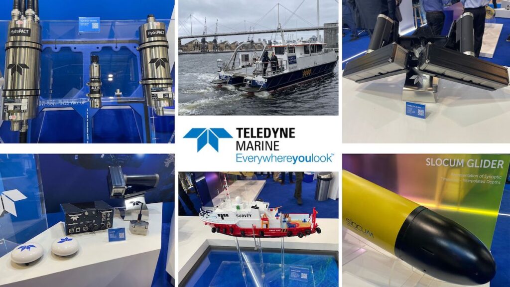
As a key technology provider, Teledyne Marine contributed advanced ocean mapping, acoustic detection, and real-time data processing systems across all three SeaSEC operational challenges.
“SeaSEC provides an exciting opportunity to verify our technologies in operationally relevant conditions, collaborate with partners, and contribute to the broader maritime security community,” said Morten Bernsdorf, Teledyne Marine’s Project Lead. “It also challenges us to adapt and innovate under realistic constraints – gaining valuable insights that help us refine and advance our systems.”
Challenge 1 – Real-Time Underwater Vehicle Detection
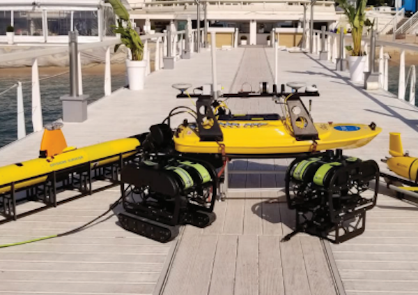
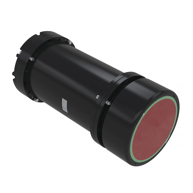
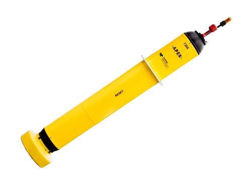
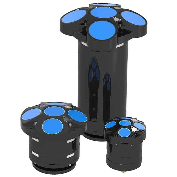
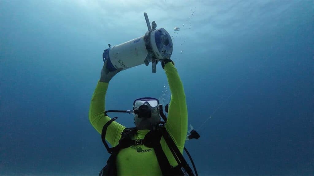
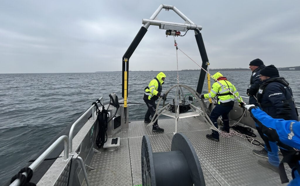
In a scenario focused on identifying covert underwater threats, Teledyne Marine deployed a Passive Acoustic Monitoring (PAM) system to detect uncooperative AUVs acoustically, followed by the SeaBat 7123 Forward-Looking Sonar to visually track the target in real time. Data was streamed back to shore, demonstrating an integrated sonar-acoustic approach to mobile threat detection in a 1×1 km search zone.
Challenge 2 – Subsea Pipeline Threat Identification
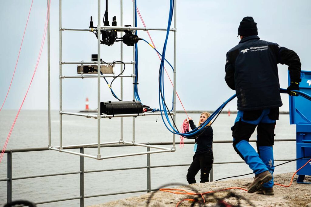
To detect and classify potential threats near pipelines, Teledyne deployed the Gavia AUV equipped with a SeaBat T20 multibeam sonar, as well as the SeaBat T51 mounted on both a survey vessel and an uncrewed surface vessel (USV). Harbour-based operations involved a trencher guided by Teledyne BlueView sonars and equipped with the HydroPACT pipe tracker, allowing for precision detection of buried anomalies. Data from all platforms was transmitted to Teledyne’s communications center in near real time.
Challenge 3 – Seabed Change Detection Using Multibeam and Lidar
The third SeaSEC challenge involved detecting recent seabed disturbances by comparing newly collected data with previously mapped terrain, baseline data that had been supplied by Teledyne Marine prior to the event. Using the SeaBat T51, Gavia AUV with T20, and Teledyne Geospatial’s lidar platform, the team identified anomalies such as anchor drag marks and trenching with high resolution.
Teledyne PDS software played a crucial role by enabling near-real-time seabed data processing and classification, facilitating rapid operational response.
Continuous Monitoring and Cross-Border Collaboration
Teledyne Marine also deployed a FLIR infrared camera in the harbour to monitor offshore activity up to 8 nautical miles, supporting the SeaSEC planning team with a continuous live feed of the exercise zones.
In keeping with SeaSEC’s international mission, Teledyne collaborated with partners including:
- Copenhagen Global, supplying a USV platform integrated with Teledyne systems
- IHC, providing a trencher equipped with HydroPACT tracking technology
“Beyond technical validation, our team was keen to make a strong impression demonstrating the full scope of capabilities across sonar, AUV, hydrophones and more,” explained Morten Bernsdorf.
Established by the Ministries of Defence of six nations in 2023, SeaSEC fosters international cooperation in maritime safety and subsea infrastructure protection. Its live testing grounds provide a unique opportunity to align the capabilities of public stakeholders, commercial operators, and research bodies. Learn more about SeaSEC here >>