High-resolution photogrammetry using the Voyis Discovery Stereo camera enabled Submara and Kystverket to produce a precise 3D digital model of the historic Blücher wreck site
The NORBIT Subsea team completed a Qing River survey to assess the NORBIT WINGHEAD multibeam system’s wide-swath capability, collecting elevation and intensity data in shallow to mid-water depths
Integrated INS + USBL systems deliver faster setup, higher accuracy and improved efficiency for subsea tracking, offering clear advantages over traditional USBL-only configurations
LS Electronics discusses how its Mimer SoftRadio platform helps maritime and border agencies modernize legacy communication systems, unifying analog, digital, and IP radios and supporting remote control and tracking for improved situational awareness
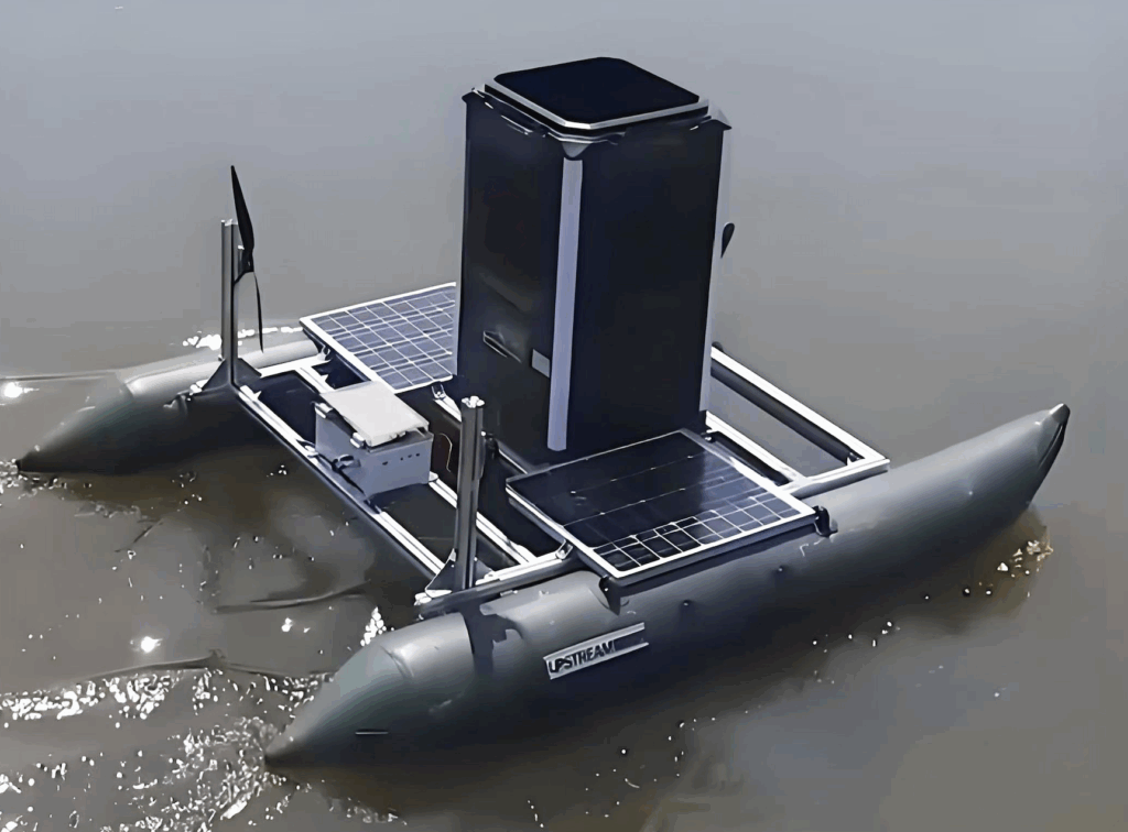
The USVSTAR from AGISTAR is a versatile unmanned surface vehicle designed for rapid deployment and a wide range of aquatic missions, offering flexibility, durability, and modularity
Teledyne Marine supported Northwestern Michigan College students with hands-on SeaBat T50-R training focused on collecting seabed backscatter and sediment data during real survey operations projects
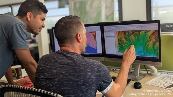
Blue Marble Geographics’ Global Mapper enables Egis to streamline digital terrain modeling and hydrological analysis, enhancing data processing efficiency across large-scale environmental projects
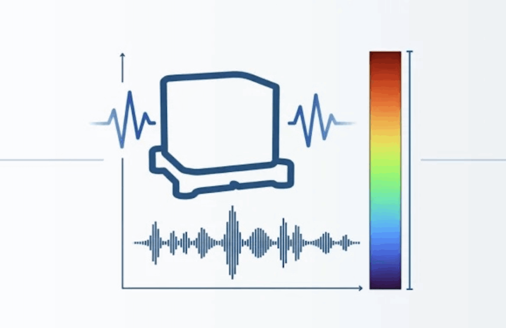
SBG Systems’ IMU now features built-in vibration monitoring, delivering real-time analysis to enhance accuracy, detect resonance, and support design, testing, and structural monitoring
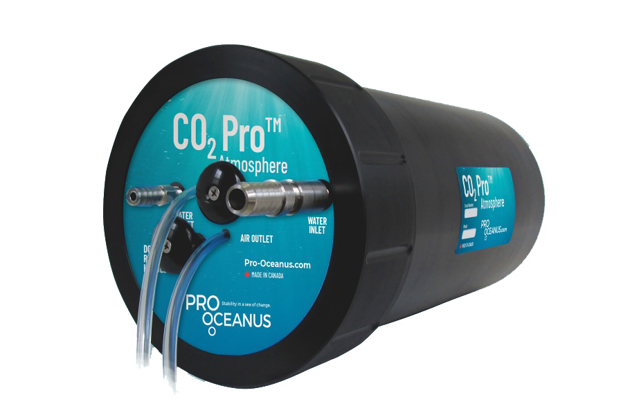
Discover how Pro-Oceanus Systems’ advanced sensors help explore the oceans, measure dissolved gases, and uncover critical insights into marine and climate processes
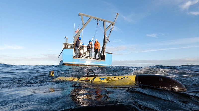
Teledyne Marine’s five-year Sentinel Mission follows its Slocum Sentinel “Redwing” glider as it circumnavigates the globe, advancing autonomous ocean observation and climate research
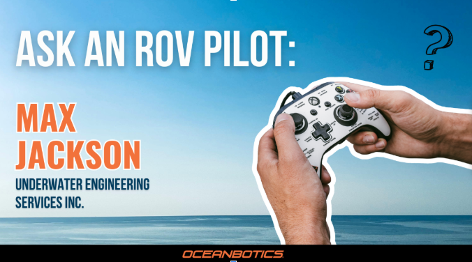
ROV pilot Max Jackson explains how the Oceanbotics SRV-8 ROV’s easy maintenance, intuitive controls, and powerful camera simplify underwater inspections and pipe profiling operations
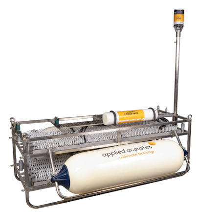
applied acoustics' sub-bottom profiling systems offer advanced solutions for detailed seabed imaging, combining cutting-edge technology and flexible designs to support diverse marine surveying applications
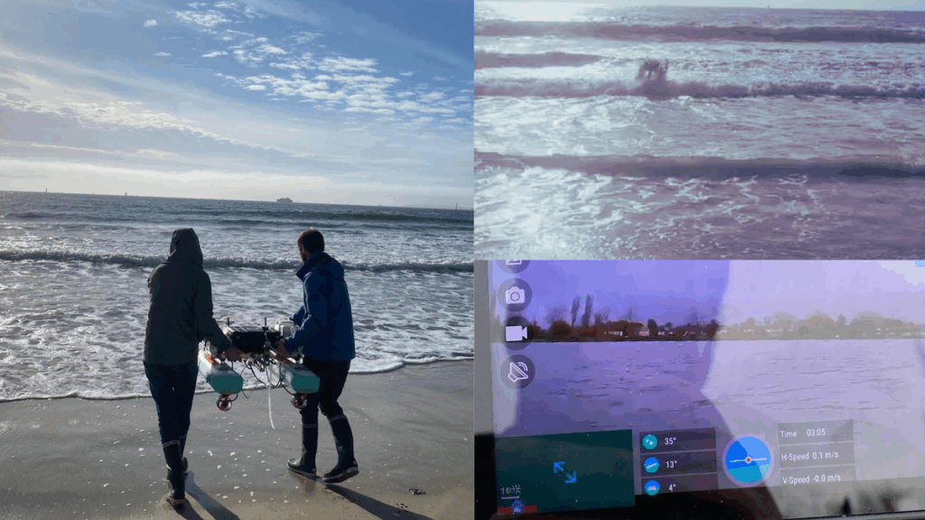
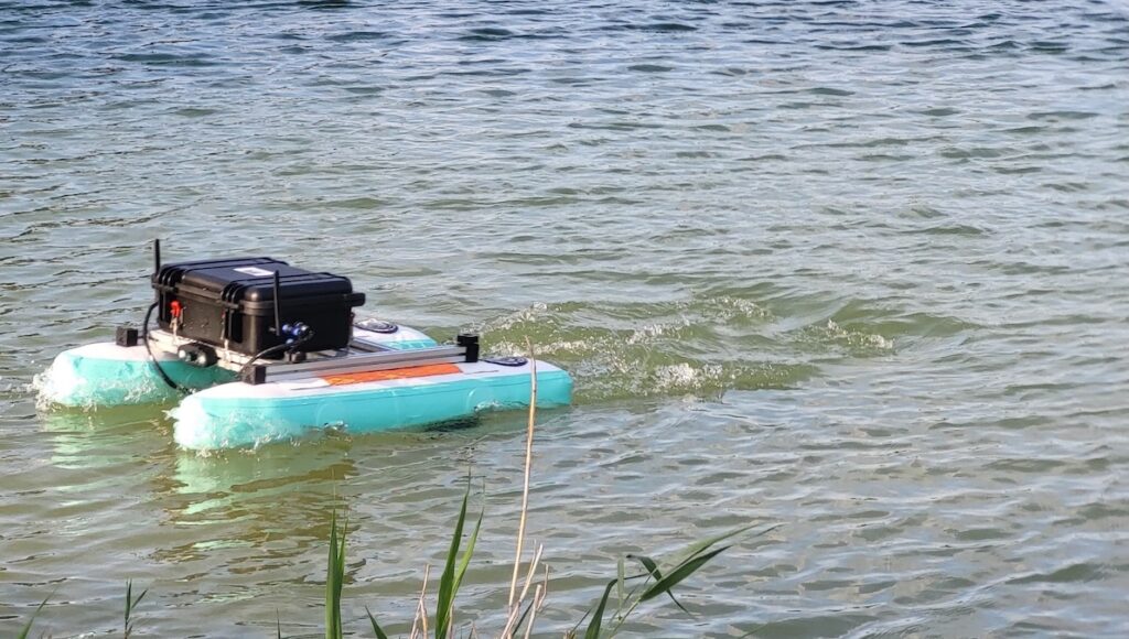
AGISTAR’s USVSTAR is a next-generation unmanned surface vehicle for water sampling and environmental monitoring, offering portability, stability, and real-time sensor integration for accurate in-situ data and high-quality water analysis
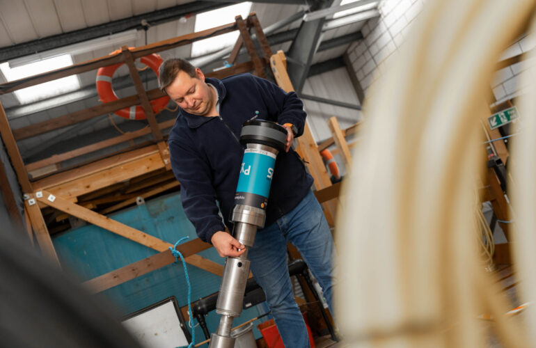
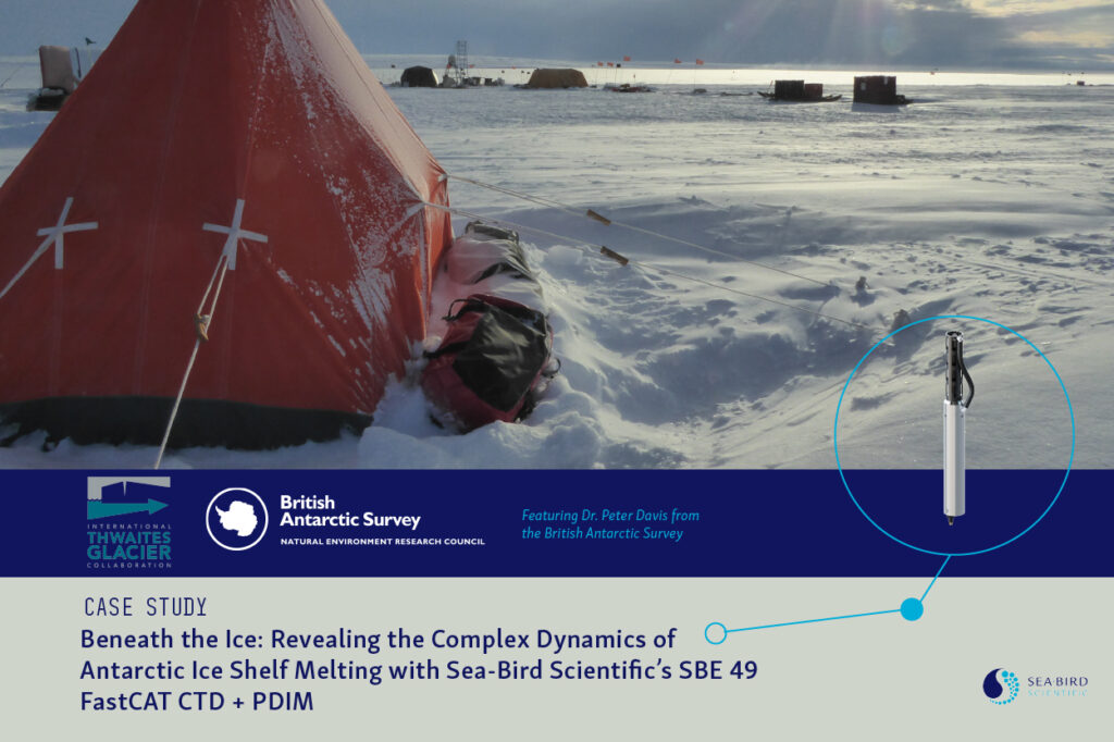
British Antarctic Survey researchers used Sea-Bird Scientific’s SBE 49 FastCAT CTD and PDIM beneath Thwaites Glacier to examine how ocean-driven melting influences Antarctic ice loss and future sea-level rise
At REPMUS 2025 in Portugal, Deep Trekker demonstrated ROV integrations supporting mine detection, identification, and disposal in collaboration with international naval EOD units
AGISTAR’s autonomous USV brings precision, sustainability, and efficiency to large-scale aquaculture, transforming fish feeding through automation, solar power, and intelligent navigation
Xsens outlines the development and implementation of its onboard Heave functionality for the Sirius and Avior sensor modules, enabling the devices to provide real-time vertical displacement data alongside roll, pitch, and yaw measurements for marine stabilization and compensation systems
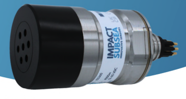
Deployed on the Mohawk ROV, Impact Subsea’s ISS360 Imaging Sonar provided the visibility and precision needed for the safe recovery of a $1 million oceanographic instrument
The latest offshore, subsea & marine technology news, straight to your inbox.
Get our weekly roundup of technology developments, new products and industry news.
THANK YOU FOR SIGNING UP
Thanks for joining us. Check your inbox.
We've sent you an email. Click the confirmation link to complete your subscription to the weekly eBrief. In the meantime, explore the latest news, suppliers and technologies.


 Searching Companies & Products