
SatLab Geosolutions has demonstrated the capabilities of autonomous hydrographic survey systems in challenging environments. Read more >>
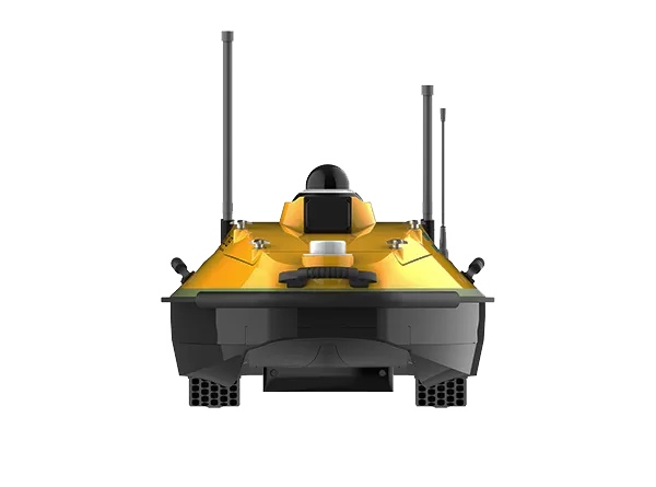
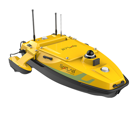
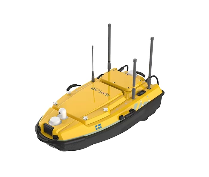
During a recent project on Japan’s Yodo River near Hirakata Bridge, the company’s HydroBoat 1200MB Unmanned Surface Vessel (USV) was deployed to obtain high-resolution riverbed data in areas where crewed operations face significant access and safety constraints.
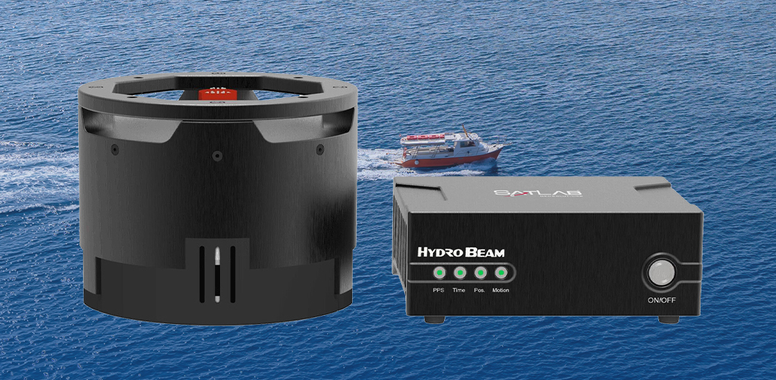
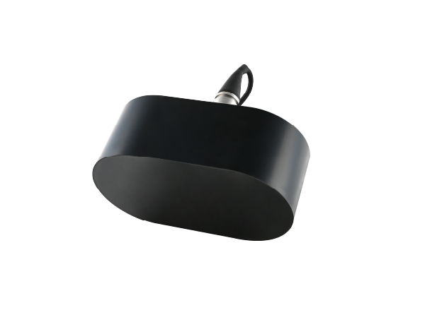
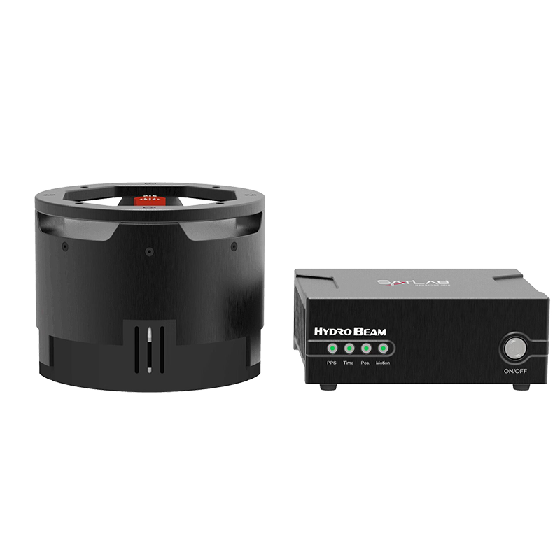
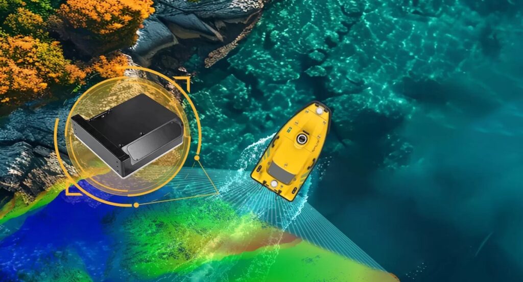
The HydroBoat 1200MB combines multibeam and single-beam sonar technologies with autonomous navigation and intelligent obstacle avoidance. Operating in a section of the river affected by vessel traffic, light rain, and structural interference, the platform maintained continuous coverage throughout the mission. The use of a SPIN (Sound Speed Profile Inversion) algorithm removed the need for separate sound velocity profiling, improving survey efficiency.
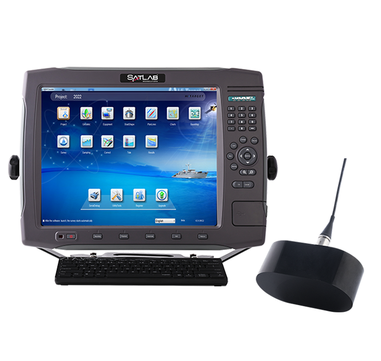
SatLab’s SLHydroBeam software provided live visualization, data filtering, and accuracy verification during acquisition, ensuring immediate quality control. The processed results produced a detailed 3D model of the riverbed, clearly resolving bridge pillars, scour features, and underwater structures. The dataset achieved IHO Special Order accuracy, with more than 99% of elevation points within the specified tolerance limits.
By combining autonomous control, continuous data capture, and integrated sonar capability, the HydroBoat 1200MB supports efficient and safe hydrographic surveys in narrow and obstacle-dense waterways. The project demonstrated the system’s ability to maintain consistent coverage and verified accuracy in environments where conventional survey methods are constrained.
Read the full case study to learn how SatLab Geosolutions’ HydroBoat 1200MB delivered certified results and comprehensive coverage in the Yodo River survey.