applied acoustics designs and manufactures geophysical and acoustic positioning technologies, many of which are used for hydrographic and geophysical surveys in ports and harbours worldwide. These systems support the acquisition of accurate seabed and positioning data required to maintain safe navigation and manage subsea infrastructure.
Regular surveys are essential for safe maritime operations within ports and harbours. Globally, these environments are frequently affected by the accumulation of silt and clay on the seabed, transported by tidal movement.
Hydrographic and geophysical surveys provide the data required to identify sediment build-up and support corrective action. This enables dredging operations to remove accumulated material and helps maintain designated navigational channels for vessel transit.
Precise Surface Positioning in Shallow Water Environments
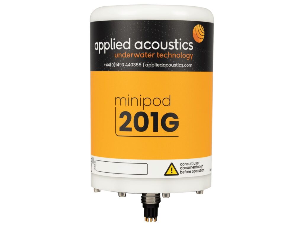
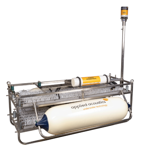
MiniPods by applied acoustics
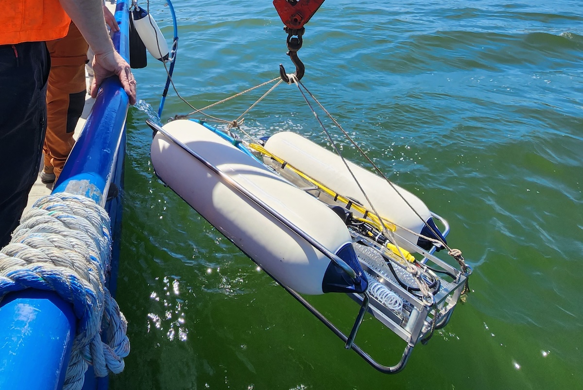
The MiniPod submersible GNSS units provide precise surface positioning for subsea excavation vehicles operating in challenging conditions. The systems are specifically designed to function in shallow water environments where traditional subsea positioning methods are not feasible, particularly within transition zone areas.
Profiling Beneath the Seabed
applied acoustics designs and manufactures geophysical equipment that supports profiling beneath the seabed. When combined with geotechnical investigations, these datasets allow operators to determine geological conditions within port environments. This information can inform dredging activities, infrastructure planning, and maintenance strategies.
Acoustic Positioning for Subsea Asset Localization
The company also specializes in acoustic positioning equipment that enables operators to track and position subsea assets. These systems provide location data for sidescan sonars, remotely operated vehicles, and divers conducting inspections of harbour walls, subsea infrastructure, and pontoons, supporting accurate spatial awareness during survey and inspection operations.
Relevant Technologies for Port & Harbour Applications
MiniPods
The MiniPod range delivers positioning using global navigation satellite systems while operating in the challenging conditions of the transition zone. The systems are designed to provide reliable positioning capability in shallow coastal environments and support subsea excavation vehicle operations where traditional positioning methods are not feasible.
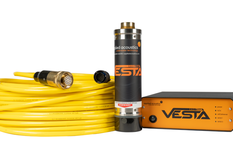
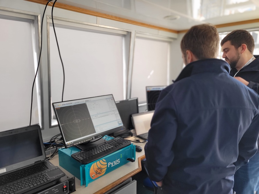
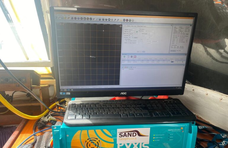
Pyxis INS + USBL
Pyxis INS + USBL combines applied acoustics’ Ultra Short Baseline technology with an advanced inertial navigation system from one of the most respected names in the industry. The resulting system is an inertially aided Ultra Short Baseline solution designed to provide highly accurate subsea tracking with survey grade performance.
Nexus 2 Max, Model 2698
Nexus 2 Max, Model 2698 is engineered for rapid deployment and straightforward operation. Enhancements over the original Nexus 2 system include UDP inputs for receiving data from vessel-based sensors such as GPS, gyro, and MRU; expanded serial protocol compatibility supporting RS485, RS422, and RS232; enhanced timing features including NTP time synchronization and data interpolation to improve data capture and quality; up to four responder outputs; PPS Out and Sync In functionality; remote access and control; and diver charts and reporting.
Together, these technologies provide the positioning accuracy, subsea tracking capability, and data integration features required to support hydrographic and geophysical surveys in complex port and harbour environments. By enabling reliable seabed characterization and precise subsea asset localization, applied acoustics’ systems support the ongoing maintenance of navigational safety and maritime infrastructure within ports and harbours worldwide.