


Showcase your capabilities
If you design, build or supply Subsea Imaging Systems, create a profile to showcase your capabilities and connect with visitors who have an active requirement for your solutions.


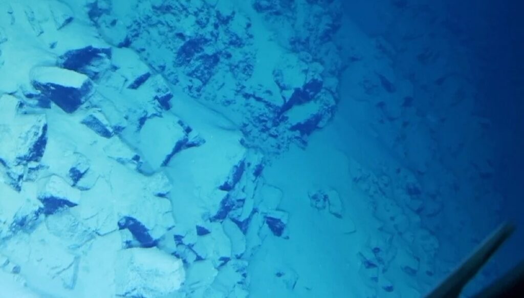
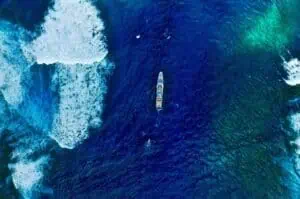
Underwater imaging systems capture and interpret visual and acoustic data in submerged environments, enabling reliable observation where light, turbidity, and depth constrain conventional sensing. These systems include optical cameras, sonar imaging systems, and laser-based platforms supporting subsea 3D imaging for inspection, mapping, and scientific analysis.
This page features leading underwater imaging system suppliers, delivering solutions built for deployment on ROVs, AUVs, and fixed installations.
Read the Technology Overview

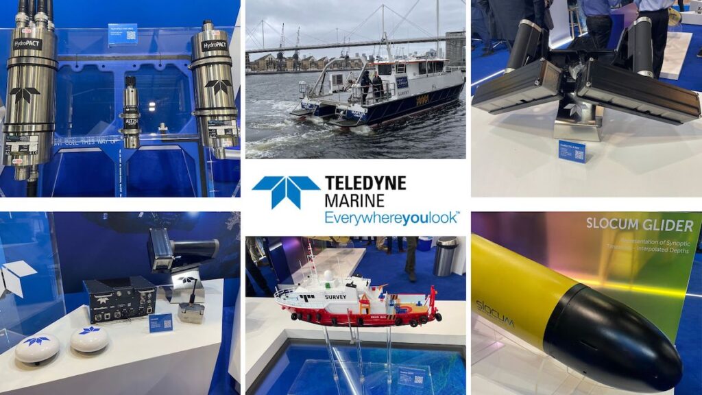
High-Performance Instruments, Sensors & Technologies for Exploring & Monitoring Subsea Environments
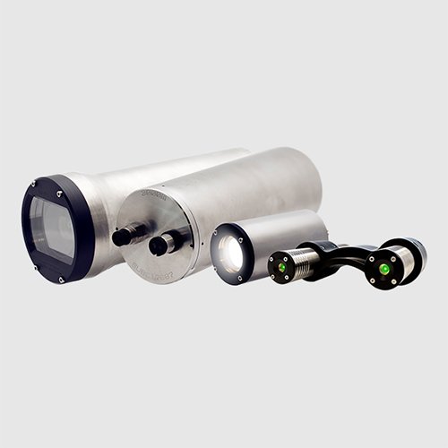
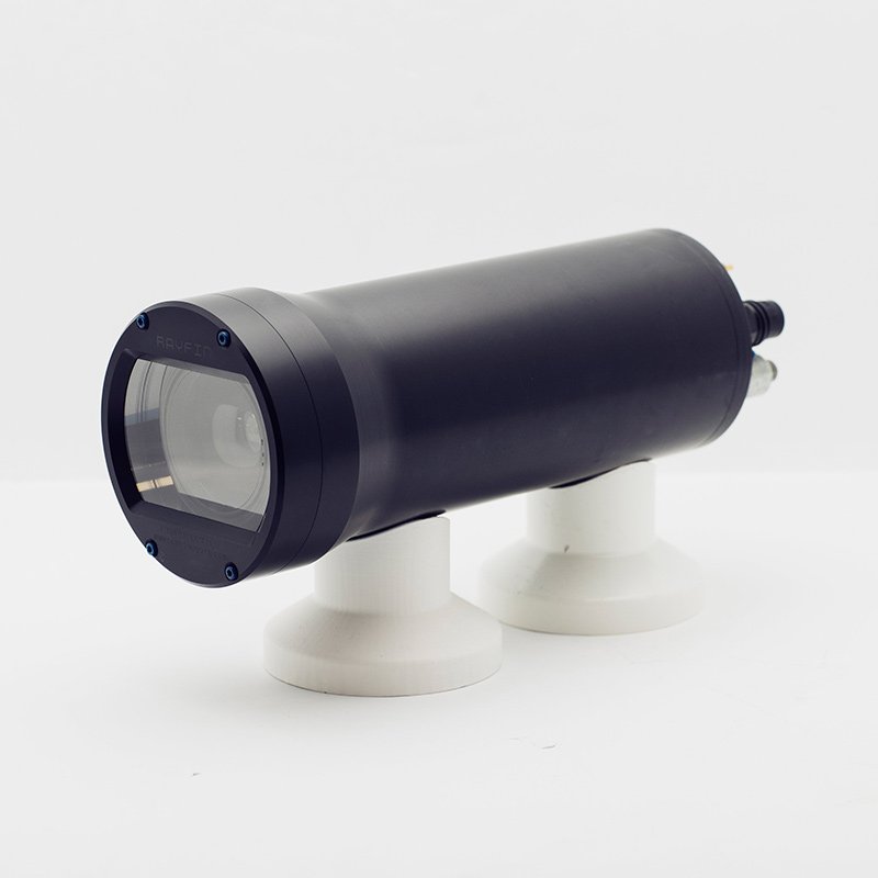
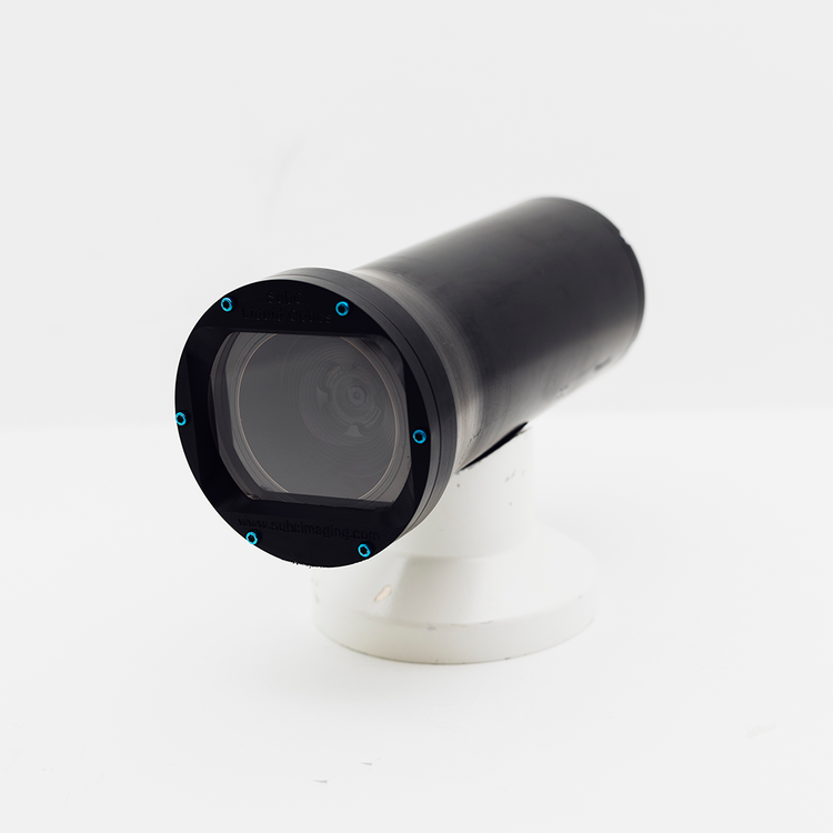
Cutting-Edge Underwater Optical Imaging Systems for Subsea Inspections & Surveys
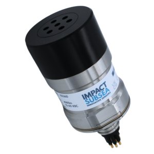
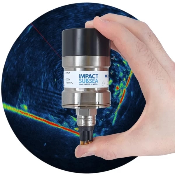
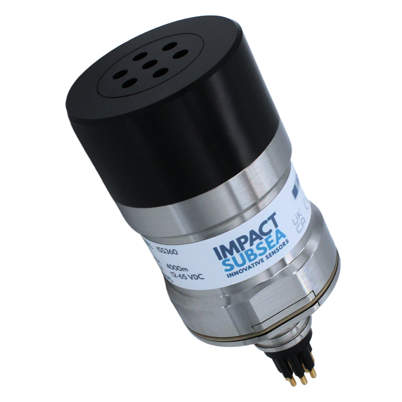
Innovative, High-Performance Underwater Sensing Technologies for the Marine Industry
Cutting-Edge Surveying, Positioning & Sensing Solutions for Hydrographic & Oceanographic Applications
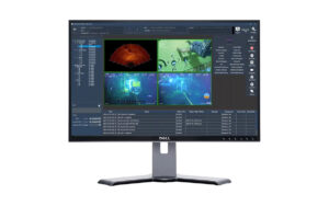
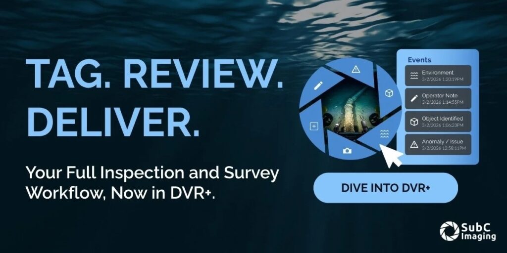
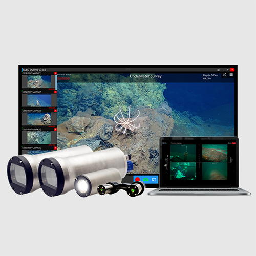
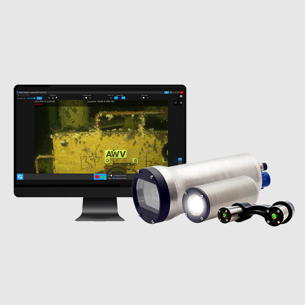
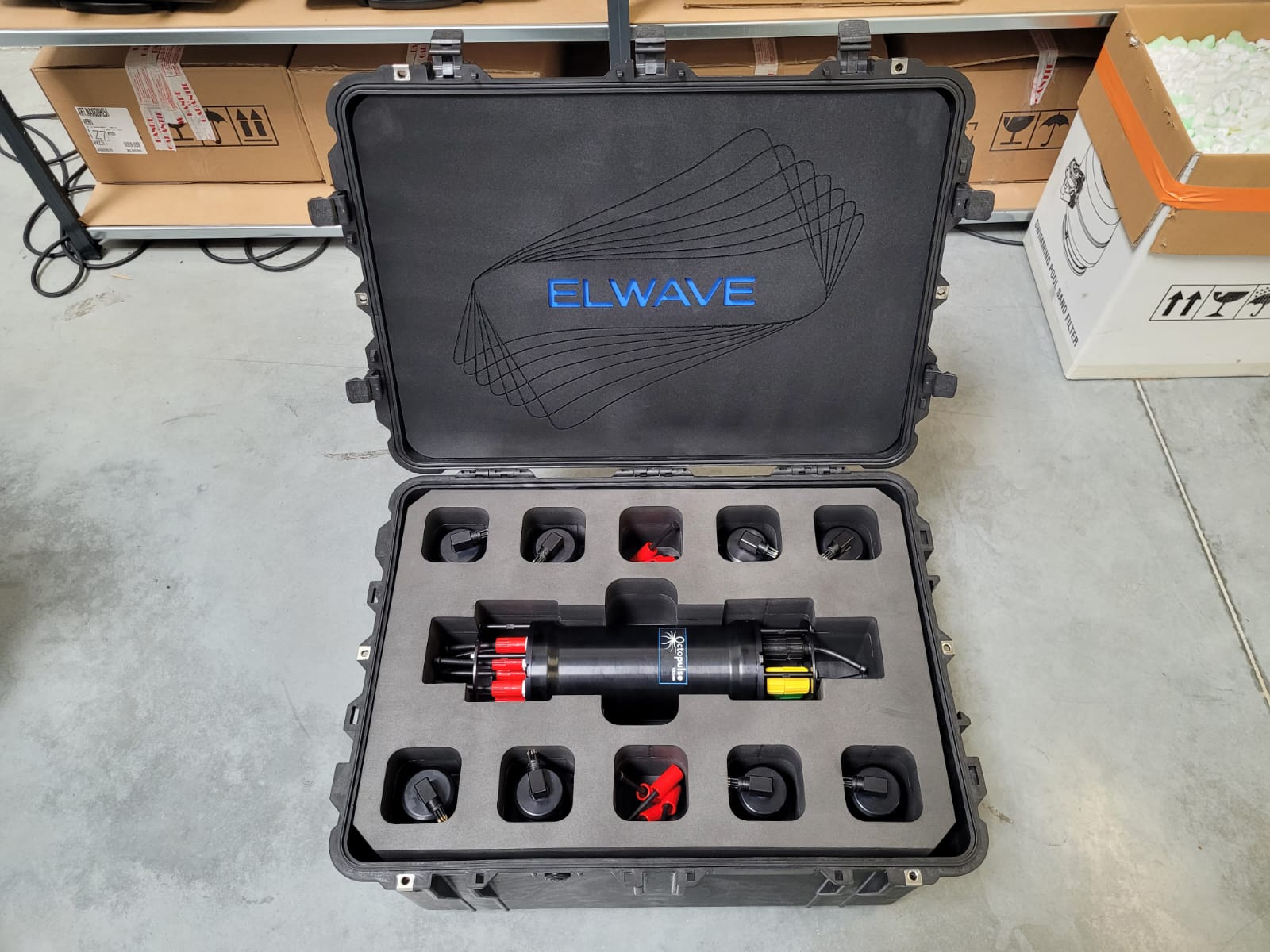
Digital Video Recording (DVR) Inspection Systems for Marine & Subsea Applications
3D Forward Looking Sonars (FLS) for Critical Vessel Navigation & Situational Awareness
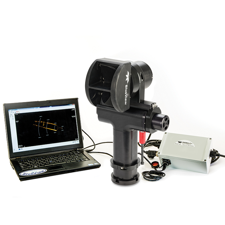
Advanced Sonar Systems for Underwater Detection, Imaging & Navigation
If you design, build or supply Subsea Imaging Systems, create a profile to showcase your capabilities and connect with visitors who have an active requirement for your solutions.

Underwater imaging systems encompass a broad class of technologies designed to capture, process, and interpret visual or acoustic data in submerged environments. These systems range from high resolution optical cameras to advanced underwater sonar imaging systems and laser-based platforms, each engineered to overcome the significant physical constraints of the ocean. These systems are fundamental to subsea operations, enabling situational awareness, inspection, mapping, and scientific observation across a wide range of marine environments.
Optical systems remain the most intuitive form of underwater imaging, providing high resolution, human interpretable imagery. However, their effectiveness is constrained by water clarity, depth, and available illumination.

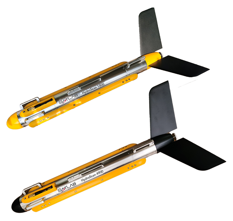
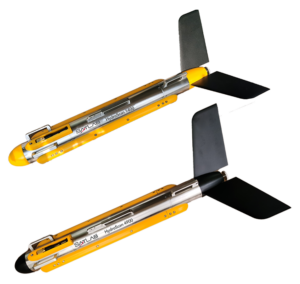
HydroScan towed side scan sonar by SatLab Geosolutions
Where optical systems are limited by turbidity and light attenuation, sonar based imaging provides a robust alternative using acoustic energy.
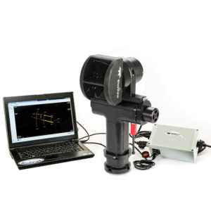
The adoption of underwater laser scanning provides enhanced resolution and contrast in conditions where conventional optics struggle.
Hyperspectral and multispectral imaging systems capture data across multiple wavelengths, enabling material classification and environmental analysis. In marine science, these systems are used to assess seabed composition, detect biological signatures, and monitor environmental changes.
Acoustic cameras combine sonar imaging with real time visualization, producing video like outputs derived from acoustic reflections. Hybrid systems integrate optical and acoustic receivers, leveraging the strengths of both modalities to maintain performance across varying environmental conditions.
Underwater imaging systems are used for observing marine ecosystems without physical disturbance. High resolution imaging supports species identification, behavioral studies, and habitat mapping, contributing to conservation and environmental management.
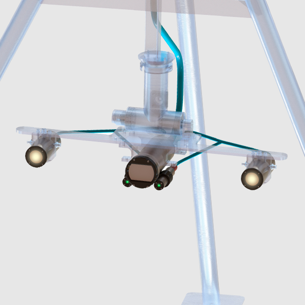
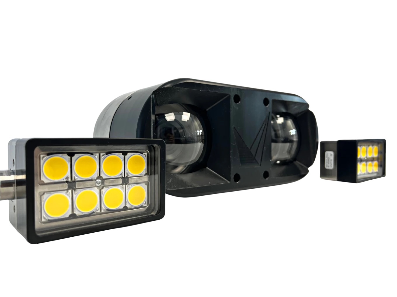
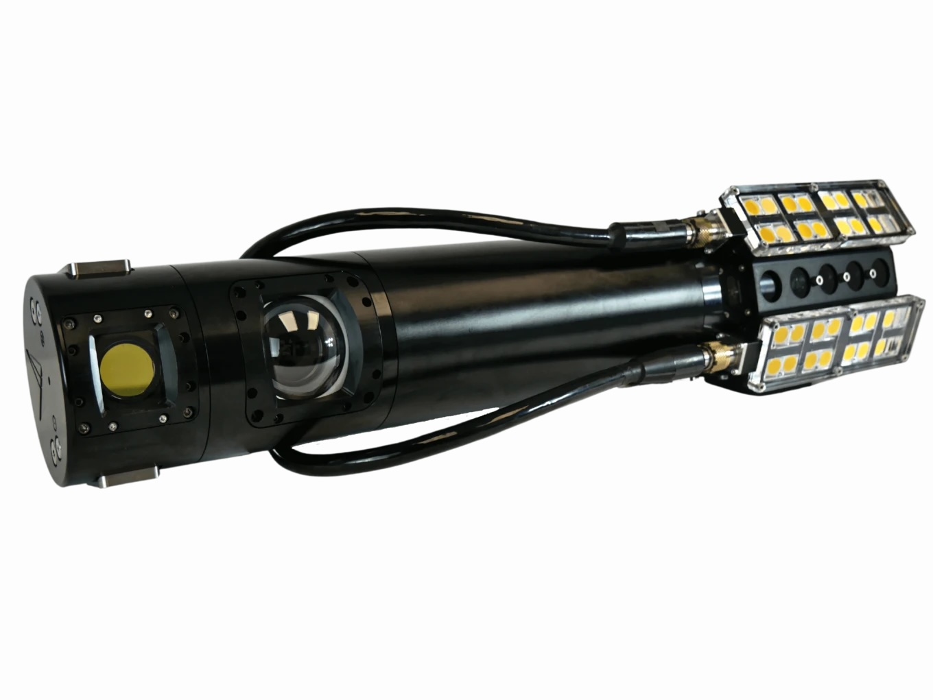
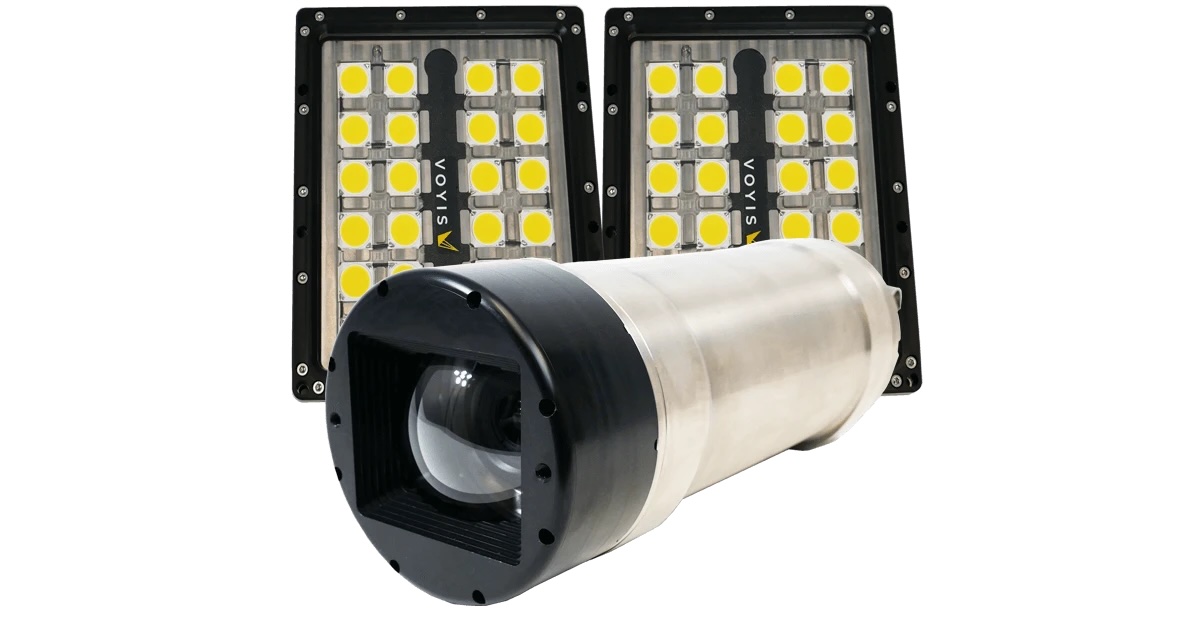
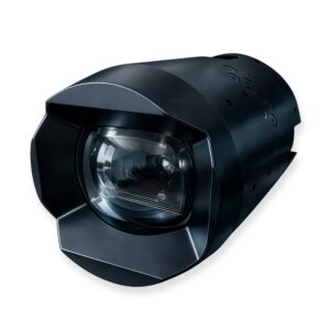
Long-range subsea imaging system Observer & Nova Pro by Voyis
In offshore energy operations, marine imaging technologies are central to Inspection, Maintenance, and Repair (IMR) activities. They enable detailed assessment of subsea infrastructure such as wellheads, pipelines, and risers, reducing the need for costly human intervention. Specialized sensors are also deployed for subsea leak detection to monitor the integrity of aging assets.
As offshore renewable energy expands, imaging systems are used to inspect foundations, cables, and turbine structures. These systems support lifecycle management by identifying defects, corrosion, and biofouling.
Defense applications rely on underwater object detection for mine detection, surveillance, and threat assessment. Sonar and hybrid imaging systems are critical in these roles, providing detection in low visibility conditions.
In search and recovery missions, imaging systems are used to locate and identify submerged objects, including wreckage and lost equipment. The ability to operate in poor visibility makes sonar based systems valuable in these scenarios.
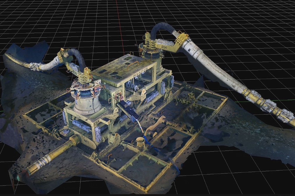
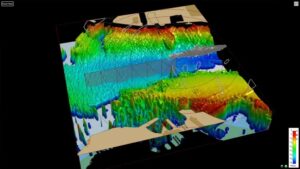
Imaging technologies enable non invasive documentation of submerged cultural heritage sites. Photogrammetry and underwater 3D scanning techniques allow archaeologists to create detailed digital models for analysis and preservation.
Routine inspection of subsea infrastructure relies on imaging systems to detect damage, corrosion, and structural anomalies. These environmental imaging solution setups are used for ensuring operational integrity and preventing failures.
Successfully deploying imaging equipment requires a tailored approach to the host platform to ensure data quality and operational stability.
These considerations ensure that the chosen imaging modality remains functional and efficient regardless of the deployment depth or vehicle type.
The choice of image sensor directly impacts performance. CMOS sensors are common in modern systems due to their low power consumption, high frame rates, and integration flexibility for underwater 3D data acquisition. CCD sensors still offer advantages in noise performance for specific scientific applications.
Underwater optics must account for refraction at the interface between water and housing materials. Precision lens design and dome or flat port selection are required to maintain image fidelity and minimize distortion.
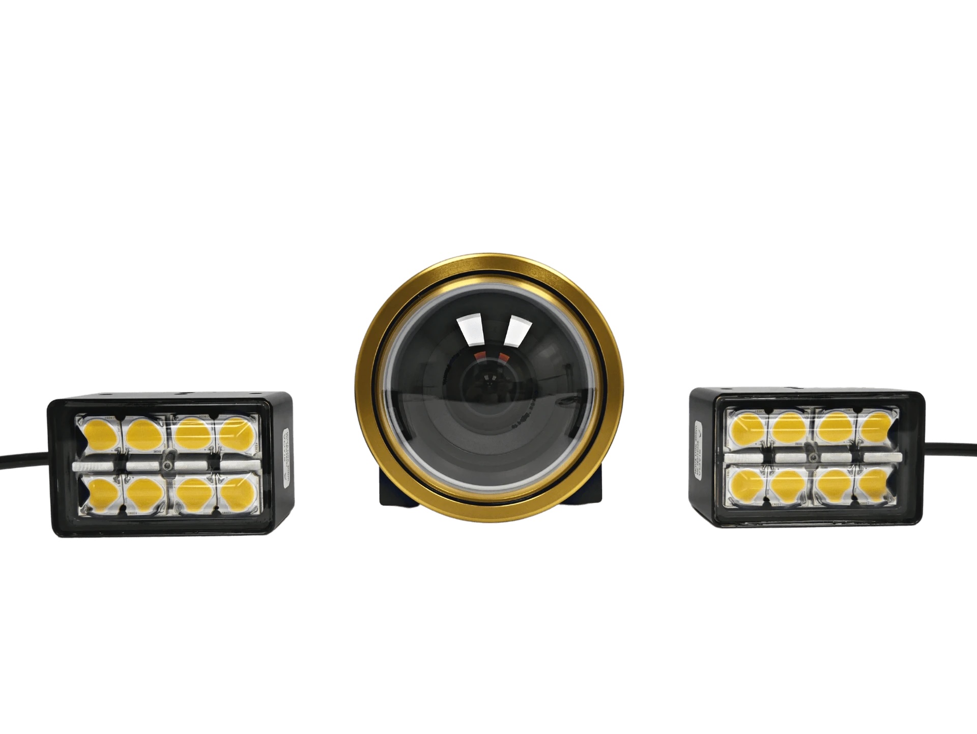
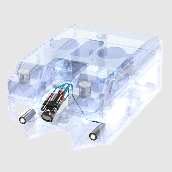
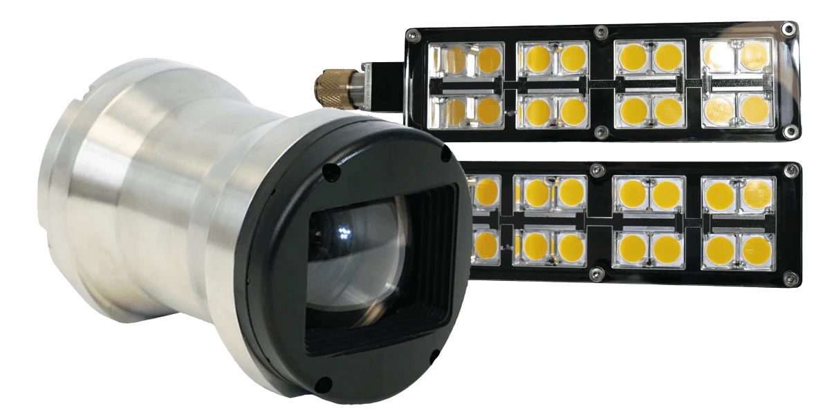
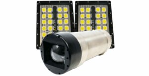
Artificial subsea lighting is used in most underwater environments. LED arrays provide continuous illumination, while strobes offer high intensity bursts for still imaging. An underwater 3D scanner often utilizes specialized laser illumination for structured light and scaling applications.
Imaging systems must be housed in pressure resistant enclosures capable of withstanding extreme depths. Materials such as titanium and anodized aluminum are common, with optical domes and windows designed to maintain clarity under pressure.
Reliable data transmission is required, particularly for real time applications. Fiber optic links are used for high bandwidth, long distance communication, while Ethernet and coaxial interfaces are used in shorter range or legacy systems.
Raw data captured in subsea environments often requires significant refinement to become actionable information for engineers and researchers.
By applying these advanced processing techniques, operators can derive precise insights even from imagery captured in highly turbid or low light conditions.
The field of subsea observation is moving toward higher levels of autonomy and data density, driven by breakthroughs in computing and materials science.
These emerging trends represent a shift from manual observation to intelligent, networked systems that provide a more holistic view of the subsea world.
 Searching Companies & Products

 Subscribe to the Weekly eBrief
The latest engineering and technical developments straight to your inbox - join thousands of engineers who receive it.
Subscribe to the Weekly eBrief
The latest engineering and technical developments straight to your inbox - join thousands of engineers who receive it.