Autonomous Marine Systems
Discover cutting-edge solutions from 7 leading global suppliers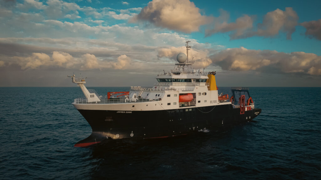
The National Oceanography Centre (NOC) has embarked on a 25-day expedition aboard the Royal Research Ship (RSS), focusing on the Porcupine Abyssal Plain Sustained Observatory (PAP-SO), located about 800 km from Land’s End in the Northeast Atlantic Ocean.
Established in 1985 at a depth of 4,850 m, it is the world’s longest-running time series of life on an abyssal plain, flat areas of seabed typically 4,000–6,000 m deep, and one of the longest-operating deep-ocean observatories for critical ocean data, spanning from seabed to surface.
This year’s expedition (JC278), underpinned by UK National Environment Research Council (NERC) funding through the AtlantiS programme, will include testing new, advanced autonomous technologies. These will be used alongside well-established observational methods.
These will add to the crucial long-term multidisciplinary observations at the site, which provide a unique and important window into long-term changes in the health of the deep ocean, from the impacts of climate change to its role as a carbon sink.
New advanced autonomous technologies being tested on this 41st ship-based expedition to the PAP-SO include the deployment of new sensors and sampling technologies for autonomous observation.
These were developed as part of a major Horizon Europe-funded project to advance technology for high quality ocean observations, called GEORGE (Next Generation Multiplatform Ocean Observing Technologies for Research Infrastructures).
GEORGE is using two underwater autonomous robots called gliders to deploy new miniaturised sensors and samplers, and an uncrewed surface vessel (USV) that will expand on and support ship-borne data, paving the way for new frontiers in ocean science.
Dr Andrew Gates, the principal scientist at NOC who is leading the expedition, commented, “Science undertaken at PAP-SO has significantly advanced knowledge of the remote deep-ocean realm and beyond. Early insights at PAP revealed that the deep-sea floor, thought to be a very stable, constant environment, is in fact subject to seasonal change.
“More recently, the work at this unique multidecadal research site has helped understand about how long-term environmental change and human activity affect deep-ocean environments and what the longer-term impacts of that could then be to the wider ocean.”
Additionally, for the first time, sets of underwater hydrophones will be deployed to allow scientists to “listen” to the deep ocean at the PAP-SO and another site that the RRS James Cook will visit during the expedition, Whittard Canyon, for a full year.
Scientists hope the sounds captured could provide insights into everything from elusive whales and dolphins to submarine canyon landslides at Whittard Canyon and also unlock the mysteries of the soundscape of a site like the PAP-SO, nearly 5 km down.
Dr Socratis Loucaides, NOC’s lead GEORGE scientist, stated, “This is an important opportunity to deploy our new technology at an open ocean site where we have long term data to compare with the new measurements and make sure they meet the requirements for future ocean observation capability.”
A time-lapse camera system, Bathysnap, that has been sitting on the seafloor taking images every few hours for the past year will also be recovered and replaced, with scientists excited to see what creatures it has caught a glimpse of.
A newly acquired specialised camera system, capable of capturing images of single-cell organisms from seawater samples collected every 30 minutes during the ship’s route, will also be used. There are plans to use artificial intelligence to enable real-time identification of the imaged organisms in the future.
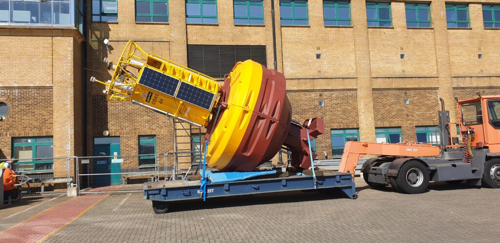
The team will also replace a Met Office monitoring buoy that supports weather forecasting and ocean monitoring at the site, including measuring carbon dioxide in the atmosphere and upper ocean.
Dr Gates added, “The PAP-SO is more than a research site—it’s a testbed for new technologies that advance ocean science. The data gathered here not only enhances our knowledge of the deep ocean but also drives the development of new tools and techniques that will help address the challenges of climate change.”
The expedition will also carry out its routine work of recovering and deploying a wide range of scientific instruments to collect water and sediment samples, along with physical and chemical sensors to obtain high-quality data. Ecological observations will be collected using baited experiments and remote seafloor imaging systems, all of which make testing new technologies possible as well as extending the crucial time series.