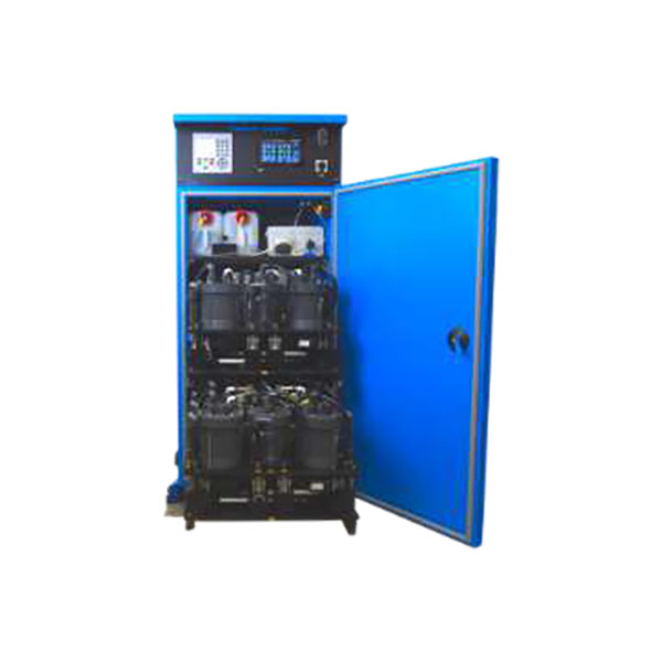
Marine Plankton Sampler Equipment
Discover cutting-edge solutions from leading global suppliers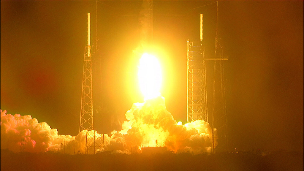
NASA’s satellite mission to study ocean health, air quality, and the effects of a changing climate for the benefit of humanity launched successfully into orbit.
Known as PACE, the Plankton, Aerosol, Climate, ocean Ecosystem satellite launched aboard a SpaceX Falcon 9 rocket from Space Launch Complex 40 at Cape Canaveral Space Force Station in Florida. NASA confirmed signal acquisition from the satellite about five minutes after launch, and the spacecraft is performing as expected.
From hundreds of miles above Earth, the PACE mission will study the impact of tiny, often invisible things: microscopic life in water and microscopic particles in the air.
The satellite’s hyperspectral ocean color instrument will allow researchers to measure oceans and other waterbodies across a spectrum of ultraviolet, visible, and near-infrared light. This will enable scientists to track the distribution of phytoplankton and – for the first time from space – identify which communities of these organisms are present on daily, global scales.
Scientists and coastal resource managers can use the data to help forecast the health of fisheries, track harmful algal blooms, and identify changes in the marine environment.
The spacecraft also carries two polarimeter instruments, Hyper-Angular Rainbow Polarimeter #2 and Spectro-polarimeter for Planetary Exploration. These will detect how sunlight interacts with particles in the atmosphere, giving researchers new information on atmospheric aerosols and cloud properties, as well as air quality at local, regional, and global scales.
With the combination of the instrument and the polarimeters, PACE will provide insights into the interactions of the ocean and atmosphere, and how a changing climate affects these interactions.
Earth’s oceans are responding in many ways to climate change – from sea level rise to marine heat waves to a loss of biodiversity. With PACE, researchers will be able to study climate change’s effects on phytoplankton, which play a key role in the global carbon cycle by absorbing carbon dioxide from the atmosphere and converting it into their cellular material.
These tiny organisms drive larger aquatic and global ecosystems that provide critical resources for food security, recreation, and the economy.
NASA’s Launch Services Program, based at the agency’s Kennedy Space Center in Florida, managed the launch services for the mission. The PACE mission is managed by NASA Goddard, which also built and tested the spacecraft and the ocean color instrument.
The Hyper-Angular Rainbow Polarimeter #2 was designed and built by the University of Maryland, Baltimore County, and the Spectro-polarimeter for Planetary Exploration was developed and built by a Dutch consortium led by Netherlands Institute for Space Research, Airbus Defence, and Space Netherlands.
Karen St. Germain, director, Earth Science Division, Science Mission Directorate, at NASA Headquarters in Washington, said; “Observations and scientific research from PACE will profoundly advance our knowledge of the ocean’s role in the climate cycle. The value of PACE data skyrockets when we combine it with data and science from our Surface Water and Ocean Topography mission – ushering in a new era of ocean science.
“As an open-source science mission with early adopters ready to use its research and data, PACE will accelerate our understanding of the Earth system and help NASA deliver actionable science, data, and practical applications to help our coastal communities and industries address rapidly evolving challenges.”