Showcase your capabilities
If you design, build or supply Marine Survey Services, create a profile to showcase your capabilities and connect with visitors who have an active requirement for your solutions.



Marine survey services provide the measurements, positioning, imagery, and interpreted data needed to assess seabed and water-column conditions for offshore, coastal, and oceanographic projects. Survey programs can use manned vessels, USVs, AUVs, ROVs, and airborne platforms equipped with sonar, positioning, imaging, and oceanographic sensors.
This category features hydrographic and bathymetric survey companies providing geophysical investigations, environmental monitoring, metocean surveys, and subsea asset inspection.
Read the Technology Overview
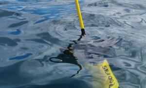
High-Tech Autonomous Underwater Gliders, Subsea Buoyancy Modules, and Oceanographic Survey Services


Industry-Leading Underwater Imaging and Power Solutions for Demanding Professional Survey Applications

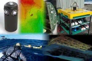
Cutting-Edge Marine Technologies & Engineering Services for Challenging Subsea Operations

If you design, build or supply Marine Survey Services, create a profile to showcase your capabilities and connect with visitors who have an active requirement for your solutions.

Marine survey services provide the measurements, imagery, positioning, and interpreted data required to understand seabed and water-column conditions and support offshore, coastal, and oceanographic operations. Projects range from hydrographic surveys to geophysical, environmental, metocean, and subsea inspection programs.
A marine survey company may supply a complete acquisition and processing package or a specialist capability within a larger campaign. Effective marine surveying depends on matching the method, sensors, platform, positioning system, and data workflow to the required resolution, water depth, environment, accuracy, and deliverables.
Hydrographic survey services measure water depth, seabed features, shoreline or navigational features, and other information needed for charting, engineering, dredging, route planning, and marine construction. Hydrographic surveying services commonly integrate sonar, precise positioning, motion sensing, sound velocity measurements, horizontal and vertical datum control, and uncertainty assessment to produce accurately georeferenced datasets.
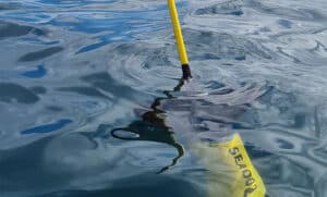
Rapid Environmental Assessment (REA) oceanographic survey services by ALSEAMAR
Bathymetric survey services focus on the shape and depth of the seafloor. Single-beam or multibeam echosounders are selected according to coverage and resolution requirements, while processing corrects for vessel motion, sound speed, positioning, timing, and vertical reference. Bathymetric mapping services can produce grids, contours, terrain models, and point clouds.
Marine geophysical surveys characterize seabed and shallow subsurface conditions. Professional geophysical survey services may combine side-scan sonar, sub-bottom profiling, magnetometry, and seismic survey services to identify sediment structures, buried objects or infrastructure, geological boundaries, and potential hazards relevant to engineering and route development.
Marine geotechnical surveys obtain direct information about seabed and sub-seabed materials using coring, sampling, cone penetration testing, and boreholes. Results are often interpreted alongside geophysical data to improve ground models for foundations, cable burial, pipelines, anchors, and other offshore infrastructure.
Environmental marine surveying records physical and biological conditions that may influence project design, permitting, construction, or monitoring. Survey programs can include seabed habitat mapping, water and sediment sampling, underwater imaging, and ecological observations, with marine data analysis used to relate field observations to mapped features and environmental conditions.
Metocean surveys measure parameters such as waves, currents, tides, water levels, and meteorological conditions. These ocean survey services support design, operational planning, environmental assessment, and model validation. Instruments may be deployed for short campaigns or longer monitoring periods depending on the required temporal coverage.
Subsea survey services assess the position and condition of pipelines, cables, structures, moorings, and other underwater assets. Remotely Operated Vehicles (ROVs), Autonomous Underwater Vehicles (AUVs), sonar, cameras, laser systems, and positioning equipment can collect imagery, dimensional data, bathymetry, and underwater point clouds for integrity assessment, baseline comparison, and change detection.
A survey package is assembled around the measurement objective, required accuracy, depth range, coverage, and platform. Common instruments used by marine survey contractors include:
Integration and calibration are critical because errors in positioning, timing, sensor offsets, motion, or environmental corrections can propagate into the final dataset. Patch testing and documented calibration help control these errors.
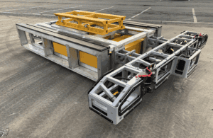
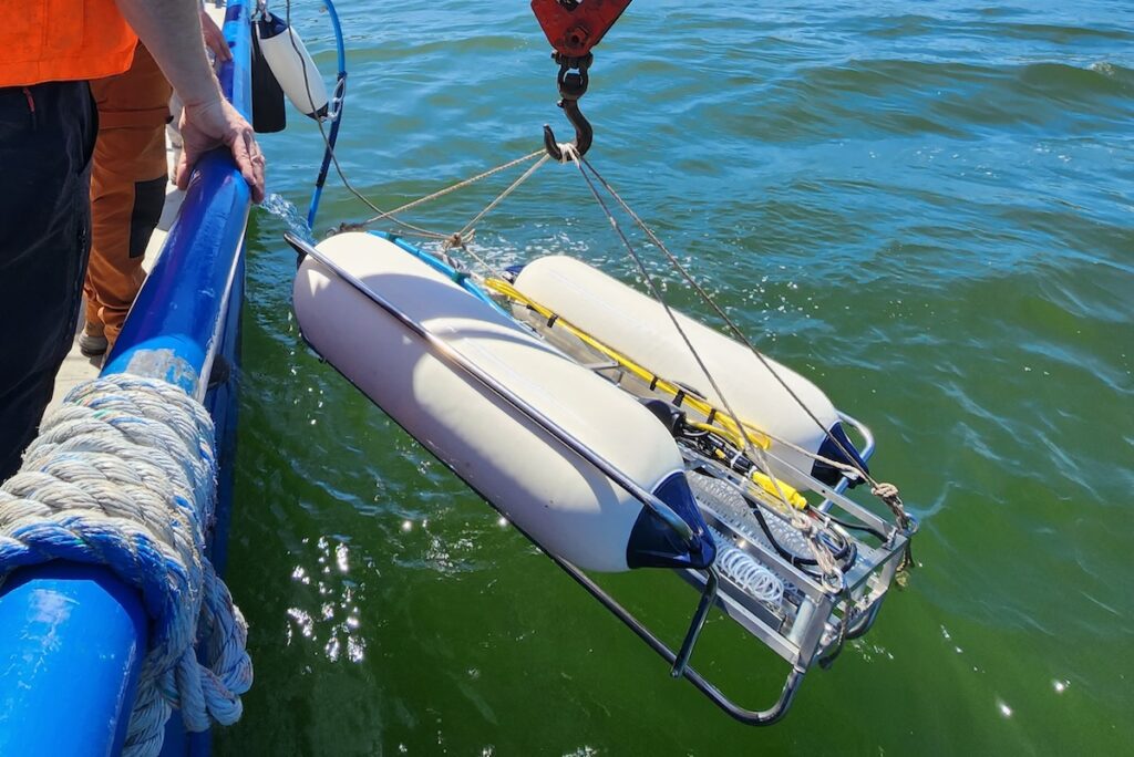
Sub-bottom imaging survey services by Kraken Robotics
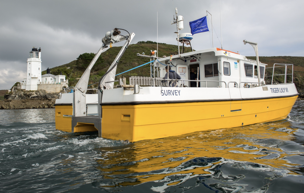
Manned survey vessels remain important for long-duration offshore campaigns, complex multi-sensor spreads, geotechnical work, and operations requiring substantial deck equipment or onboard personnel. Vessel size and configuration should match the sea state, mobilization requirements, sensor geometry, and operational area.
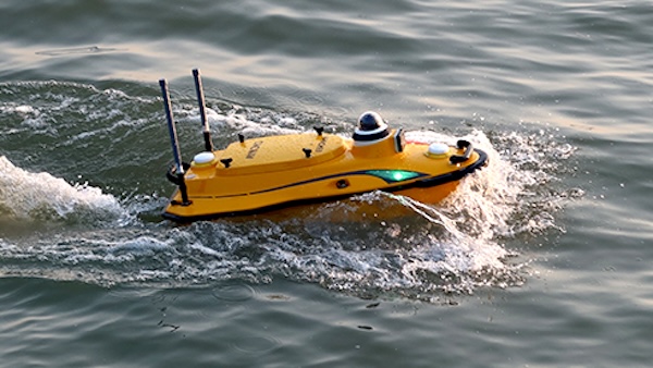
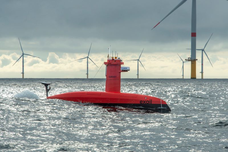
Unmanned Surface Vessels (USVs) can perform autonomous survey services in coastal, inland, and offshore environments while reducing the need to place personnel directly within the survey area. USVs may carry multibeam sonar, side-scan sonar, current profilers, cameras, and other compact payloads, with local or remote supervision.
Autonomous Underwater Vehicles (AUVs) collect data close to the seabed without a continuous tether to the surface. Their stable altitude and preplanned missions suit high-resolution bathymetric surveys, geophysical mapping, environmental observations, and subsea asset inspection, particularly where surface access is constrained.
Remotely Operated Vehicles (ROVs) are tethered subsea platforms controlled through a surface support system, with operators potentially working from a remote shore-based facility. They are widely used for marine inspections because operators can maneuver around structures, investigate targets in real time, and deploy cameras, imaging sonar, manipulators, laser measurement systems, and other inspection sensors.
Crewed aircraft and Unmanned Aerial Systems (UAS) can extend marine mapping services across coastlines, intertidal zones, beaches, and shallow water. LiDAR, photogrammetry, and imaging payloads can complement vessel-based bathymetric and hydrographic survey services, especially where continuous land-to-water mapping is required.
Survey specifications should define accuracy, uncertainty, coverage, feature detection, positioning, horizontal and vertical reference systems, metadata, calibration, and quality-control requirements before acquisition. Relevant frameworks include:
Project-specific client, regulator, hydrographic office, and engineering requirements may impose additional controls, so the applicable specification, reference system, and acceptance criteria should be established before survey planning and mobilization.
Choosing between marine survey companies requires more than comparing vessel availability or sensor lists. A suitable hydrographic or bathymetric survey provider should demonstrate that its acquisition, processing, quality, and delivery workflow matches the project objective.
Effective marine survey solutions treat acquisition and offshore data processing services as one controlled workflow. Effective hydrographic data processing, side scan sonar data processing, marine data management, and oceanographic data analysis preserve traceability from the raw observations through processing and quality control to the final products used for engineering, science, navigation, or asset management.
 Searching Companies & Products