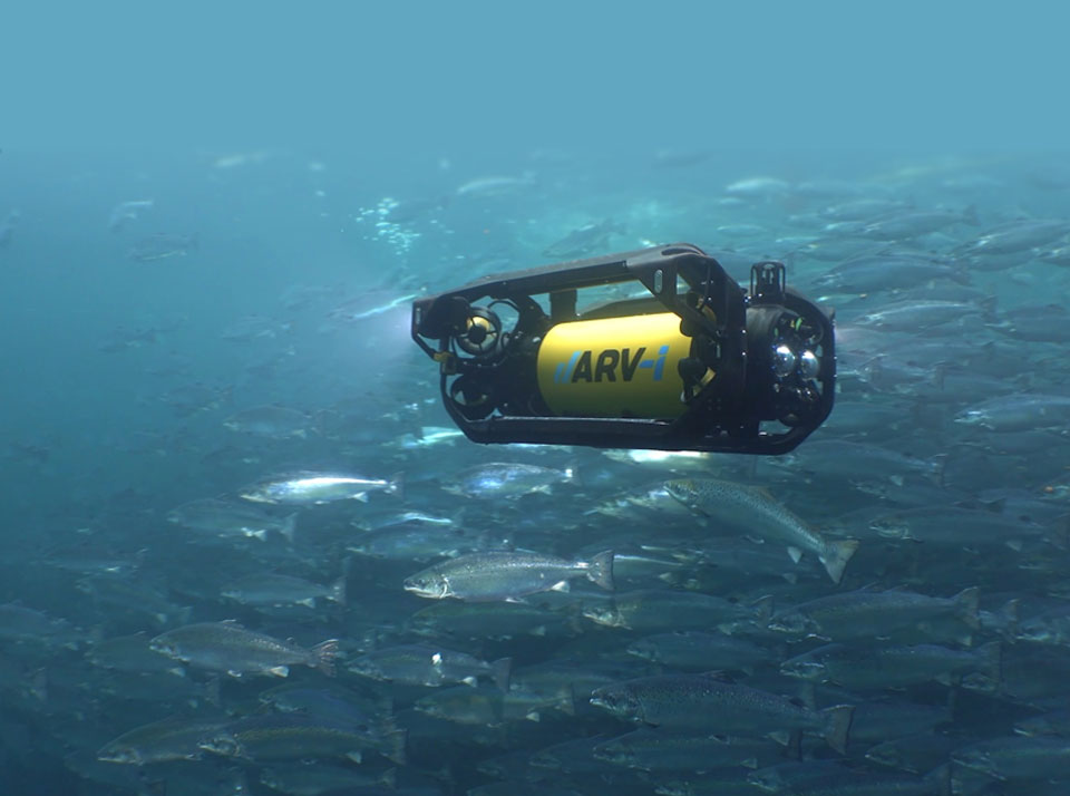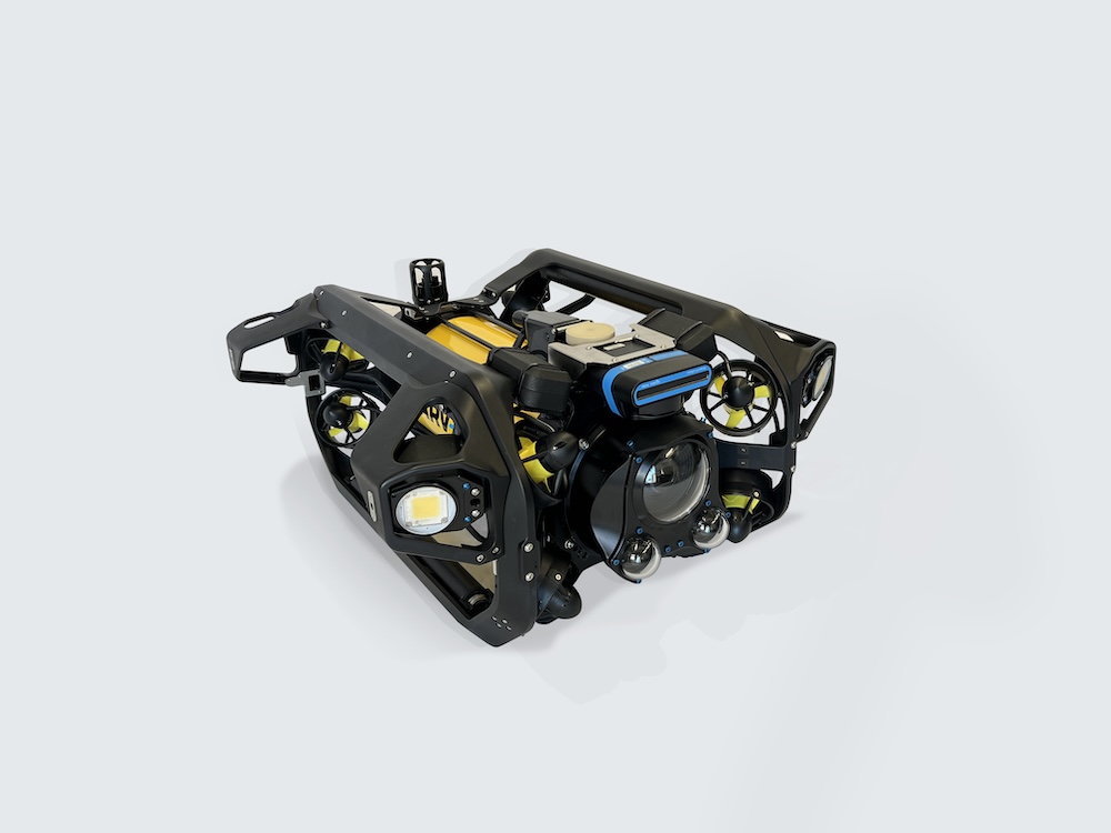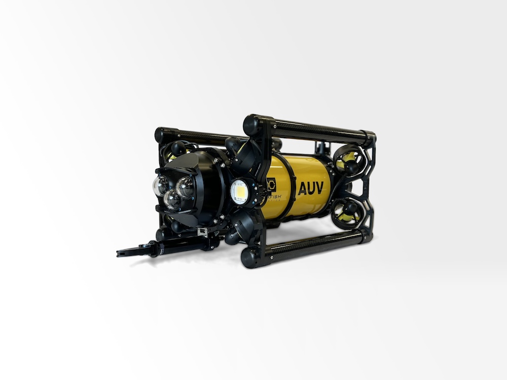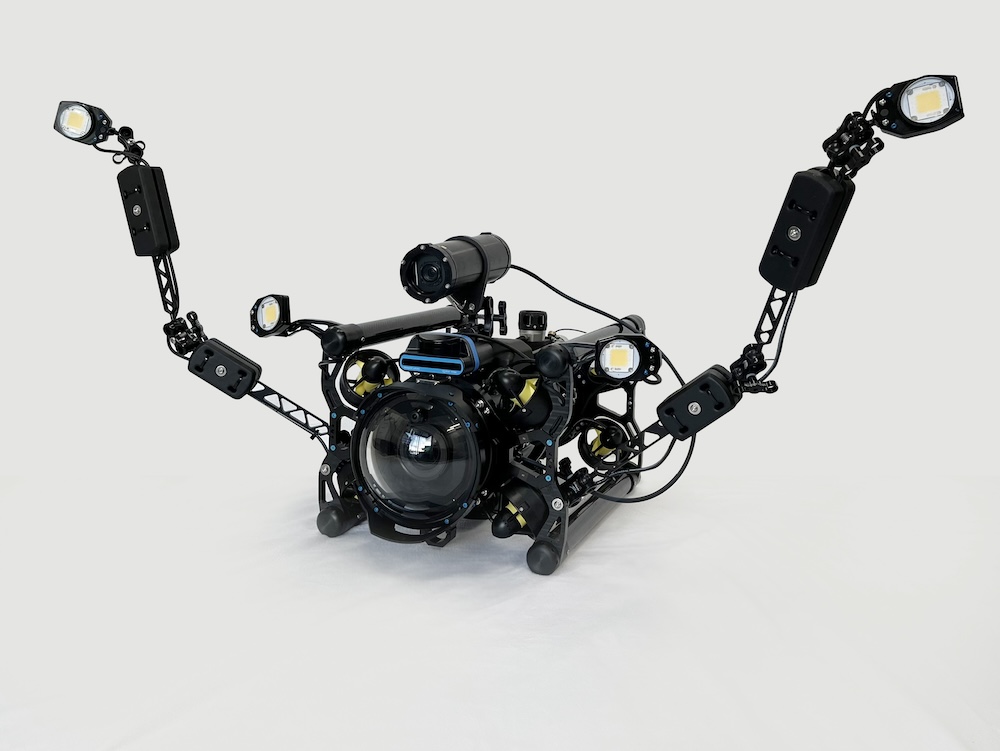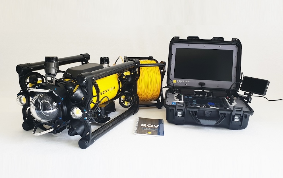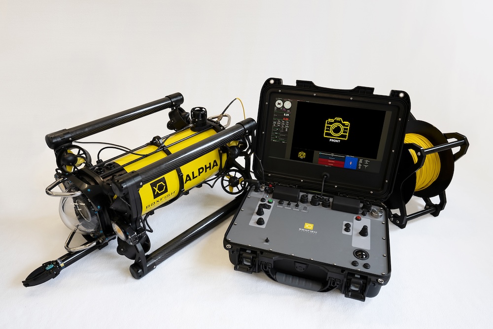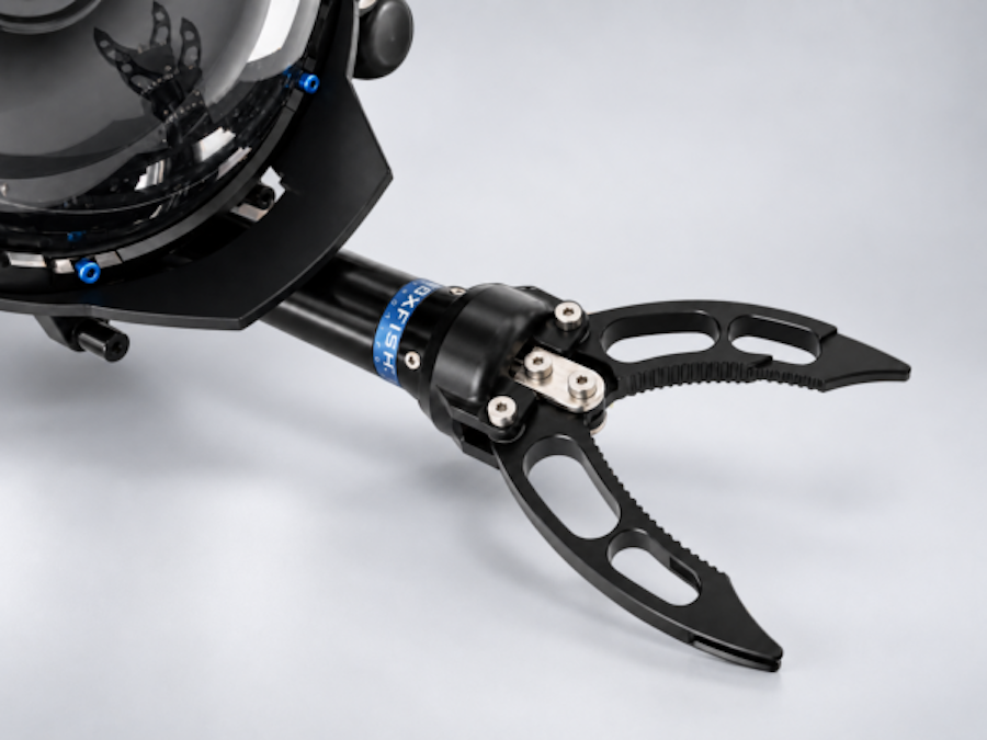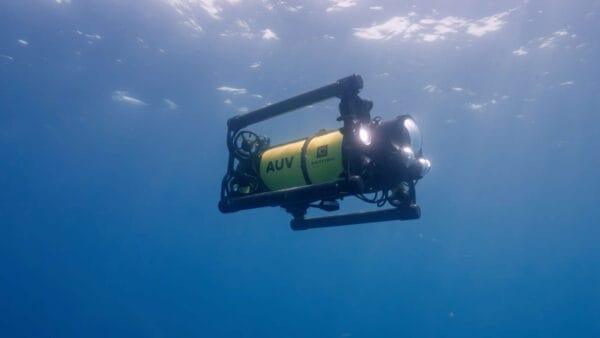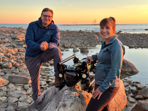
 Boxfish Robotics details the integration of its Alpha ROV into Leaf Global Environmental Services PLC (LGES) marine survey workflows, extending environmental monitoring capabilities beyond the limits of safe scientific diving.
The primary challenge for marine monitoring often involves depth ranges that exceed the practical limits of traditional scientific diving. Constraints such as bottom time and operational risk can compromise the ability to maintain structured, repeatable survey methods. By deploying the Boxfish Alpha, LGES can extend surveys up to 300 meters beyond diver-safe depths while maintaining direct scientific control and high-quality visual data for regulatory reporting.
Evangelos Papadimitriou, Marine Operations Manager at LGES, stated, “Boxfish Alpha ROV provides an effective solution for transitional depth ranges, where diver based surveys become constrained by safety and efficiency considerations, and where larger deep water ROV systems may be operationally or economically impractical.”
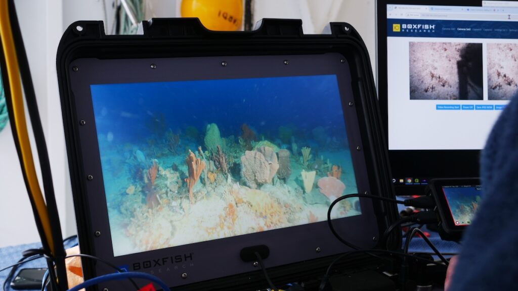
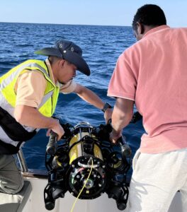
The ROV supports standardized video transects, which improve the consistency and comparability of seabed observations. This technology allows for clearer identification of habitat transitions, substrate types, and biological features, reducing uncertainty during post-survey analysis. The system is designed for practical deployment from the small to medium vessels typically used in these operations, offering stability in variable currents and robust performance across diverse site conditions.
The integration of ROV technology into survey workflows has strengthened the planning, fieldwork, and reporting stages. By combining scientific diving observations with continuous geo-referenced video transects, field teams can reduce vessel time and improve operational coordination. Live visual feedback also allows for real-time adjustments to survey plans, focusing efforts where they provide the most scientific or regulatory value.
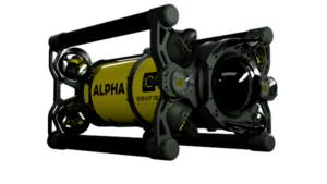
“The Boxfish Alpha ROV functions as a core survey instrument, supporting defensible environmental assessments, efficient field operations, and informed technical decision-making throughout the full survey lifecycle,” added Papadimitriou.
From a reporting perspective, the availability of continuous visual records alongside quantitative environmental data increases confidence in assessment outcomes. This combined approach bridges the gap between shallow-water surveys and deeper monitoring, providing the consistent and defensible datasets required by regulators, clients, and project stakeholders.
As a Saudi-based interdisciplinary environmental consultancy founded in 2018, LGES operates across sensitive habitats, ports, and offshore environments. The company acts as a contributor to the Saudi Green Initiative, focusing on environmental stewardship and sustainable coastal development. Its marine department brings together scientists, oceanographers, and engineers who conduct tasks ranging from coral reef restoration and seagrass habitat assessments to advanced data acquisition using remote sensing technologies.
Read the Improving Environmental Monitoring with Boxfish ROV case study for further details.