

Boxfish Robotics explores how hovering Autonomous Underwater Vehicles (AUVs) can improve underwater photogrammetry by maintaining the stable, repeatable survey geometry needed for consistent 3D reconstruction. Read more >>
Underwater photogrammetry is used for seabed mapping, environmental monitoring, and infrastructure inspection, but reliable results depend on collecting sharp, textured imagery at a stable altitude, predictable spacing, and sufficient forward and side overlap. Survey lines should follow smooth, evenly spaced parallel transects at a consistent speed and heading, helping limit changes in image scale, viewing angle, and motion blur. These requirements are particularly important underwater, where turbidity, backscatter, currents, and changing illumination can already reduce image quality
Challenges in Underwater Photogrammetry
Remotely Operated Vehicles (ROVs) can acquire high-quality imagery, although maintaining consistent survey geometry with a tethered platform can be difficult. Tether drag, currents, and surface vessel movement continually affect vehicle motion, requiring pilot corrections to hold altitude, heading, and line spacing. Changes in vehicle altitude can affect ground sampling distance, while inconsistent heading, speed, and overlap may reduce alignment quality between frames and survey lines. Over uneven terrain, shifts in vehicle attitude can also make consistent lighting harder to maintain during manual flight.
Conventional torpedo-shaped AUVs present different limitations. Their forward-motion design and restricted turning radius require them to travel beyond the target area before beginning each subsequent line, and they cannot maintain constant altitude where seabed topology changes quickly. Missions can therefore include substantial coverage outside the intended survey grid, increasing acquisition time and producing non-essential imagery that must later be filtered during post-processing. Their comparatively high survey altitude can also reduce image detail and is unsuitable when visibility is not ideal.
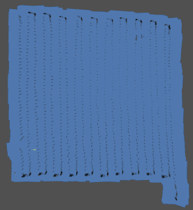
Boxfish AUV survey lines showing image capture positions and evenly spaced transects for consistent overlap and reconstruction quality.
Hovering AUVs for Repeatable Surveying
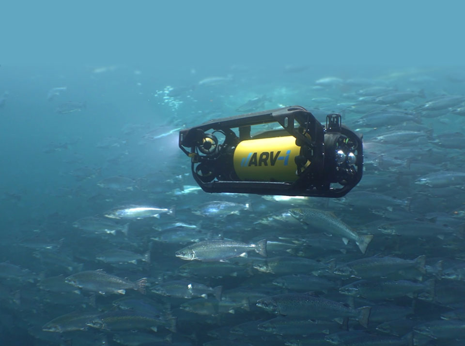
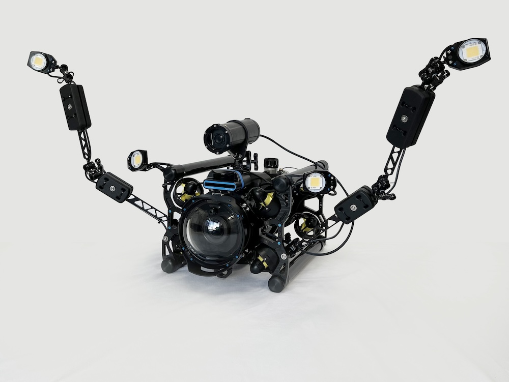
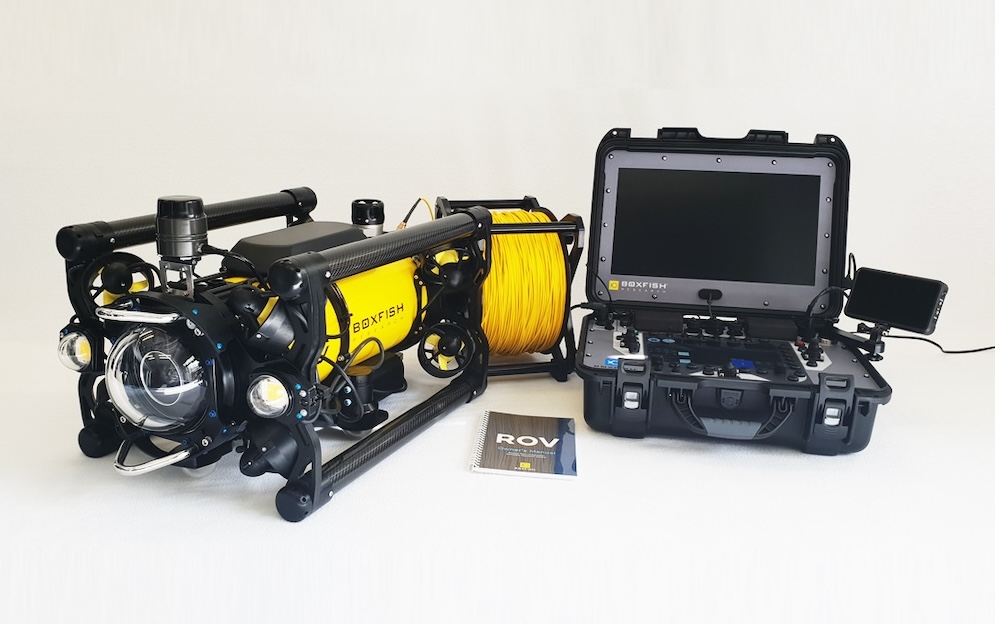
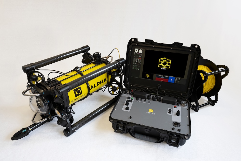
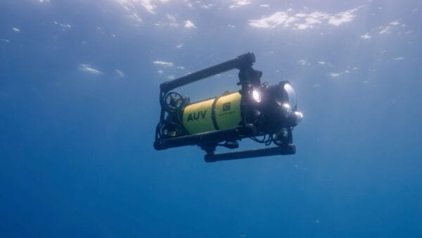
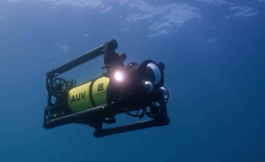
Hovering AUVs such as the Boxfish AUV are designed to maintain stable, repeatable survey geometry autonomously. Operating without a tether removes a major external disturbance source, while allowing the vehicle to sustain consistent altitude, heading, and speed relative to the seabed.
Pre-planned, evenly spaced parallel transects provide predictable overlap and more uniform image coverage, while stable vehicle motion supports consistent image scale, smoother transitions between frames, reduced motion variability, and more consistent lighting geometry. When combined with synchronized navigation and imaging data, these characteristics produce datasets that are generally easier to align, reconstruct, geo-reference, and repeat over time.
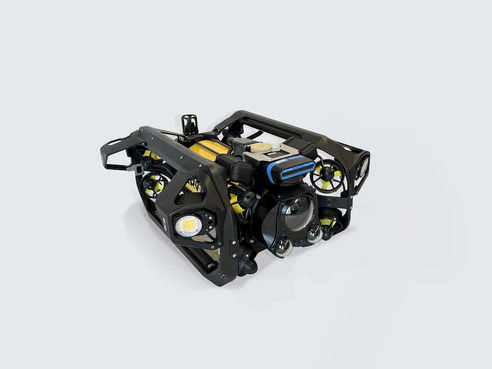
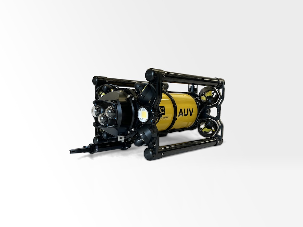
Designed specifically for close-range seabed imaging and photogrammetry, the Boxfish AUV is a hovering platform with 6DOF. Active stabilization allows the vehicle to hold a consistent altitude, heading, and speed as it autonomously follows pre-planned survey lines. Positioning throughout the mission is supported by a navigation system that combines seabed-referenced DVL with USBL updates, enabling accurate and repeatable positioning.
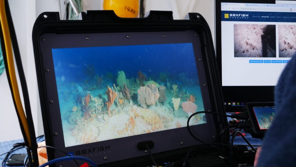
Smooth, evenly spaced transects maintain predictable overlap across the survey area, helping improve reconstruction reliability, particularly where currents or reduced visibility affect operating conditions. The system also combines synchronized, geo-referenced imagery with navigation data to enable efficient and repeatable photogrammetry workflows across scientific and industrial applications.
To find out more information, read ‘How Hovering AUVs Improve Underwater Photogrammetry’ here >>